19 beaches
Oaxaca has 19 beaches with their own page on Puebloteca, near the Pueblo Mágico of Mazunte. The closest to a pueblo is Zipolite, 4 km from Mazunte; the farthest out is Playa Estacahuite, 8 km from Mazunte.
The dry season, November to April, brings the calmest seas. From June to October expect afternoon storms, and on the Caribbean coast, sargassum in some years.
Best months, when most of these towns are dry with comfortable afternoons: Jan, Feb, Mar, Dec.
The Beaches 19
-
Zipolite · Beach · 4 km from Mazunte
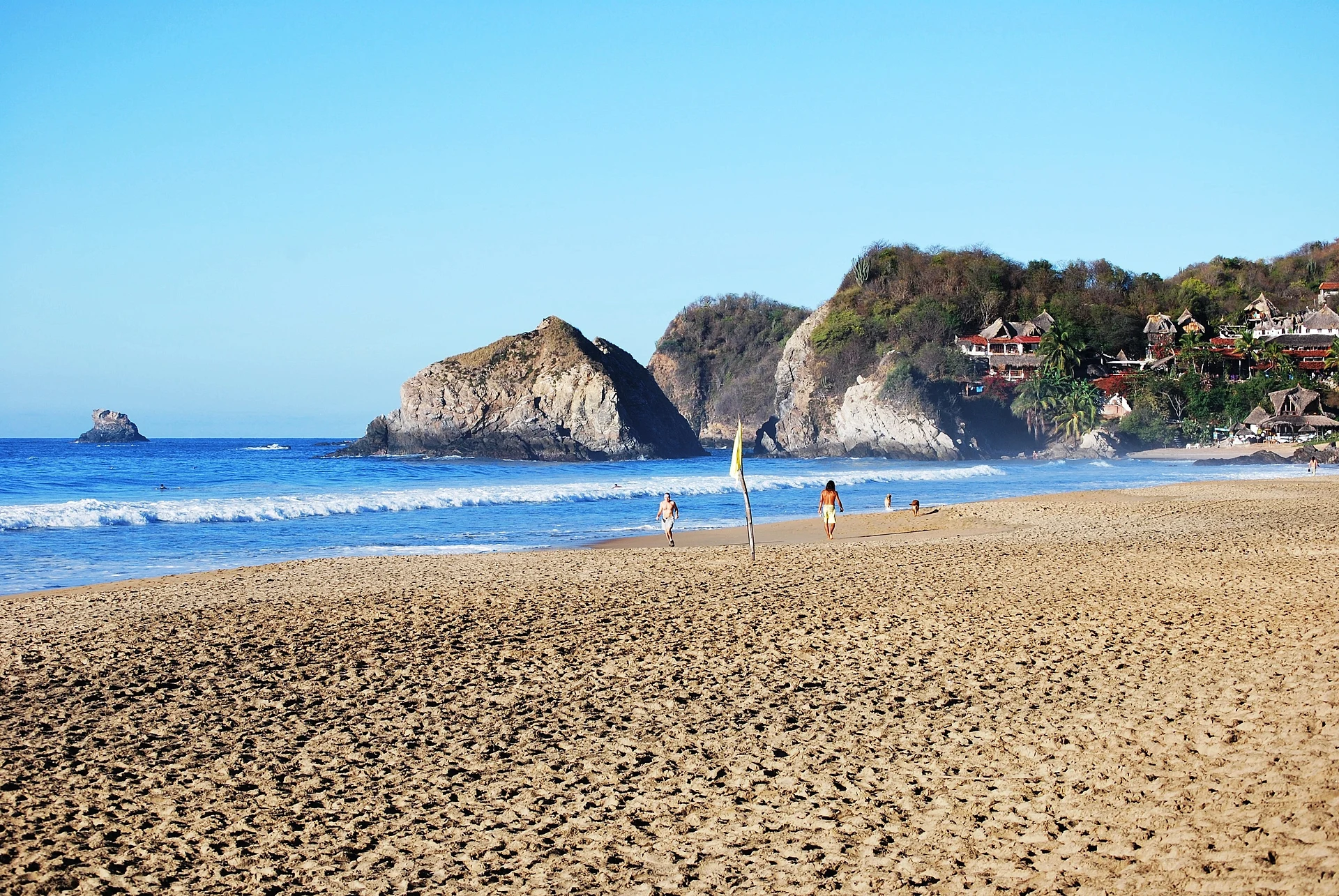
A long, wild surf beach with a 1970s backpacker spirit, Mexico's best-known clothing-optional beach and big sunsets. -
Playa Estacahuite · Beach · 8 km from Mazunte
Tiny coves just past Puerto Ángel with clear, calm water, good for snorkeling over rocks and coral. -
Bahía El Maguey · Beach · Santa María Huatulco
A calm, sheltered bay in Huatulco National Park with a row of palapa seafood restaurants and snorkelling off the rocks. -
Bahía El Órgano · Beach · Santa María Huatulco
A small, undeveloped bay next to Maguey in Huatulco National Park, reached by a short forest trail or by boat; no services. -
Bahía de Cacaluta · Beach · Santa María Huatulco
A wild, 1 km beach in Huatulco National Park, sheltered by an island and backed by dunes; reached on a forest trail or by boat. -
Bahía de Chahué · Beach · Santa María Huatulco
A wide sandy bay between Santa Cruz and Tangolunda, below La Crucecita, with a small marina, beach clubs and Blue Flag status. -
Bahía de Santa Cruz · Beach · Santa María Huatulco
Huatulco's harbour bay: a town beach, the cruise pier and marina where bay tours leave, and the open-air Capilla de la Santa Cruz. -
Bahía de Tangolunda · Beach · Santa María Huatulco
Huatulco's resort bay: a long sandy beach lined with large hotels, the Tangolunda golf course and calm water for swimming and snorkelling. -
Barra de la Cruz · Beach · Santiago Astata
A Chontal village beach east of Huatulco with a long, fast right-hand point break that hosted a world tour surf contest in 2006. -
La Punta (Playa Zicatela) · Beach · Santa María Colotepec
The south end of Playa Zicatela in Puerto Escondido: a friendly left point break, sandy streets and a laid-back surf village. -
Playa Bacocho · Beach · San Pedro Mixtepec
A long, open beach below Puerto Escondido's Bacocho neighbourhood, known for its sunsets and the daily release of olive ridley hatchlings. -
Playa Carrizalillo · Beach · San Pedro Mixtepec
A small sheltered cove on Puerto Escondido's west side, reached by about 167 steps, with clear calm water for swimming, snorkelling and first surf lessons. -
Playa Escobilla · Beach · Santa María Tonameca
The world's main nesting beach for olive ridley turtles, where hundreds of thousands come ashore together in mass arribadas. -
Playa La Boquilla · Beach · San Pedro Pochutla
A small, sheltered sandy cove east of Puerto Ángel, good for snorkelling, reached by boat or by a rough dirt road. -
Playa La Entrega · Beach · Santa María Huatulco
A calm 300 m cove at the mouth of Santa Cruz bay with a roped-off coral reef for snorkelling, where Vicente Guerrero was handed over in 1831. -
Playa Mermejita · Beach · Santa María Tonameca
A long, undeveloped beach just west of Mazunte between Punta Cometa and Punta Ventanilla, known for sunsets and dangerous currents. -
Playa Puerto Angelito · Beach · San Pedro Mixtepec
Two small, sheltered beaches in a cove west of central Puerto Escondido, with calm water for swimming and snorkelling. -
Playa Roca Blanca · Beach · Tututepec
A long open beach west of Puerto Escondido, named for the guano-whitened rock offshore, with palapa restaurants and hammocks. -
Playa Zicatela · Beach · Santa María Colotepec
Puerto Escondido's long open surf beach, the "Mexican Pipeline": heavy barrels for experts, surf-town life and sunsets for everyone else.




On the map
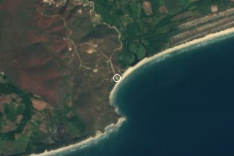
Distances are in a straight line; roads add about a third.
Where to stay
The Pueblos Mágicos these places are closest to, each with hotels, food and getting-there notes.

More places like these
More in Oaxaca
Waterfalls in Oaxaca · 3
Ruins in Oaxaca · 12
Lakes and Lagoons in Oaxaca · 5
Nature Parks in Oaxaca · 8
Viewpoints in Oaxaca · 3
Beaches elsewhere
Beaches near Juquila · 6
Beaches near Mazunte · 16
Beaches in Baja California Sur · 12
Beaches in Colima · 4
Beaches in Guerrero · 13
Beaches in Jalisco · 20
Beaches in Michoacán · 5
Beaches in Nayarit · 25
Beaches in Quintana Roo · 8
Beaches in Sinaloa · 9
Beaches in Veracruz · 4
Beaches in Yucatán · 3
All lists by kind and region
Names and locations from OpenStreetMap; notes and write-ups are our own.