

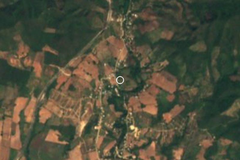
Town San Pedro Mixtepec, Oaxaca Municipality of San Pedro Mixtepec Oaxaca Coast
The biggest town on the Oaxaca coast: a laid-back port with famous surf at Zicatela, calm coves for swimming and a lively evening scene.
From Oaxaca: 2 h 45 min by car (190 km by road) How to get there ↓
Near here


Plan your visit to Puerto Escondido
Where to stay near Puerto Escondido
Compare hotels, posadas and guest houses in Puerto Escondido.
Tours to Puerto Escondido
Day trips around Juquila sometimes stop in Puerto Escondido; a tour is the easy way to see it without a car.
 Dolphin & Whale Watching in Puerto Escondido
★ 4.8 (362) · From US$61
How to get to Puerto Escondido
- From Oaxaca: about 2 h 45 min by road (~190 km)
- Nearest airport: Puerto Escondido (PXM), 1 h 22 min by car to Juquila
Links open a partner site. We may earn a commission if you book, at no cost to you.
Popular tours to Puerto Escondido


Tours, prices and ratings from Viator, checked weekly. We may earn a commission if you book.
About Puerto Escondido
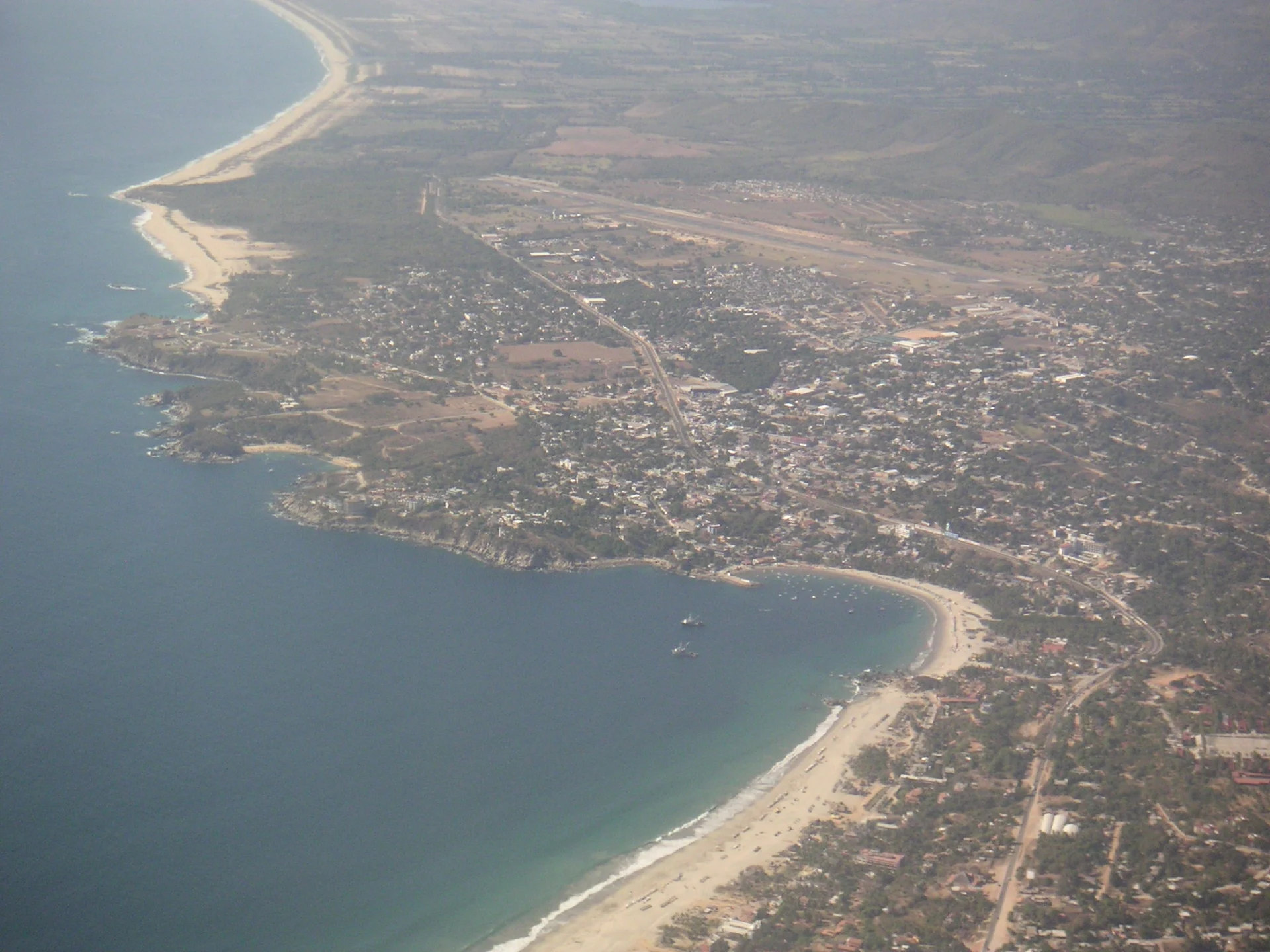
Puerto Escondido is the largest town on the Pacific coast of Oaxaca, roughly 290 km from the state capital and about halfway between Acapulco and Huatulco. Most of it lies in the municipality of San Pedro Mixtepec, but the town spills across a municipal boundary: the eastern side, including Zicatela and La Punta, belongs to Santa María Colotepec. The bay that gives the town its name was known first as the "Bay of the Hidden Woman" and later as La Escondida, after a local legend about a young woman who escaped from pirates and hid in the forest.
There was no real town here until the 1930s. Early in the 20th century the spot, then called Punta Escondida, was a small fishing settlement used to ship coffee, and in the 1930s coffee grower Guillermo Rojas Mijangos made it a proper commercial port. Water was scarce for decades, and as late as the 1970s only a few hundred people lived here. Coastal Highway 200, built around 1960, brought the first surfers and tourists, and by 1974 the beach break at Zicatela had earned the nickname "Mexican Pipeline". Since then the port has grown into the main town of the region, with a university campus, an international airport just outside the centre and a mix of Mexican and foreign residents.
The old heart of town is El Adoquín, the paved pedestrian strip along the main bay (Andador Pérez Gasga), lined with restaurants, shops and tour stands. From there a chain of beaches runs west: Playa Principal with its fishing boats, the snorkelling coves of Manzanillo and Puerto Angelito, the small cove of Carrizalillo reached by a long stairway, and the long open beach of Bacocho, where hatchling turtles are released in the late afternoon. To the east, Zicatela draws big-wave surfers from around the world. Boat trips leave from the main bay to see turtles and dolphins along the coast, and Laguna de Manialtepec, a mangrove lagoon known for birds and glowing water at night, is about 16 km west. November is the town's big month, with the Fiestas de Noviembre bringing surf and sailfish tournaments, concerts and regional dance.
How to get to Puerto Escondido
Drive from Oaxaca: 2 h 45 min, 190 km
Puerto Escondido International Airport sits just outside town, with direct flights from Mexico City. By road from Oaxaca city, the Barranca Larga–Ventanilla highway, opened in February 2024, cut the trip to about three hours; ADO buses use it, while shuttle vans over the old mountain roads still take six or seven hours. Coastal Highway 200 links the town with Huatulco (about 1.5 hours by taxi from Huatulco airport) to the east and Pinotepa Nacional and Acapulco to the west.
Directions to Puerto Escondido on Google Maps
Distances are in a straight line; the road is usually longer.
Links open a partner site. We may earn a commission if you book, at no cost to you.
From the nearest cities to Puerto Escondido
- Oaxaca · 190 km by road, 2 h 45 min
- Salina Cruz · 252 km by road, 3 h 25 min
- Juchitán · 295 km by road, 4 h
Drive times by road from OpenStreetMap, without traffic or stops. Times marked ~ are estimated from the straight-line distance.
What to see in Puerto Escondido 4
Sights with their own page, closest to the centre first.
-
Playa Carrizalillo · Beach · 1 km from the centre
A small sheltered cove on Puerto Escondido's west side, reached by about 167 steps, with clear calm water for swimming, snorkelling and first surf lessons. -
Playa Puerto Angelito · Beach · 1 km from the centre
Two small, sheltered beaches in a cove west of central Puerto Escondido, with calm water for swimming and snorkelling. -
Playa Bacocho · Beach · 2 km from the centre
A long, open beach below Puerto Escondido's Bacocho neighbourhood, known for its sunsets and the daily release of olive ridley hatchlings. -
Playa Zicatela · Beach · 4 km from the centre
Puerto Escondido's long open surf beach, the "Mexican Pipeline": heavy barrels for experts, surf-town life and sunsets for everyone else.
Map of Puerto Escondido
Day trips and tours from Puerto Escondido
The closest Pueblos Mágicos and places to visit, with the drive from Puerto Escondido and tours that leave from it.


Times marked ~ are estimated from the distance. Links open a partner site. We may earn a commission if you book, at no cost to you.
Before you go: getting to and around Puerto Escondido
- The nearest airport is Puerto Escondido (PXM).
- The best months to go are January, February, March, and December.
- 1 of the places on this page is more than 3 km from the centre: take a taxi, a ride-hailing app or a local bus.
- For day trips a rental car gives the most freedom; the tours above leave from Puerto Escondido.
Before you go to Puerto Escondido: hours, prices and tips
- Hours
- Mercado Benito Juárez is open daily; fresh produce from elsewhere in Oaxaca arrives on Wednesdays and Saturdays. Wikivoyage · checked Oct 2026
- Best season
- Rainy season runs roughly May to November; the Fiestas de Noviembre fill the whole month with surf and sailfish tournaments, concerts and dance. Wikipedia (es), Zona Turística · checked Oct 2026
- Rules
- Avoid empty beaches between dusk and dawn; robberies have been reported, especially at Playa Principal and Bacocho. Wikivoyage · checked Oct 2026
Hours and prices change, especially around holidays. Each fact links to where we checked it.
Visiting Puerto Escondido: what to see and do
Walk El Adoquín, the pedestrian strip along the main bay, in the evening.
Watch big-wave surfers at Playa Zicatela.
Swim and snorkel at Puerto Angelito, Manzanillo or Carrizalillo.
Join a sunset hatchling release at Playa Bacocho.
Take a boat trip from the main bay to look for turtles and dolphins.
Visit Laguna de Manialtepec for birds by day or glowing water at night.
Shop for regional food at the Mercado Benito Juárez.
Plan your trip
Places to stay in Puerto Escondido
Compare hotels, posadas, and rentals in and around Puerto Escondido.
Tours & activities
Day trips around Juquila sometimes stop in Puerto Escondido; a tour is the easy way to see it without a car.
Rental cars
Pick up a car at PXM (Puerto Escondido): about 1 h 22 min by road to Juquila, then 47 km more to Puerto Escondido, on your own schedule.
Flights
The nearest airport with scheduled flights is Puerto Escondido (PXM), about 1 h 22 min by road from Juquila, the base for Puerto Escondido.
Mobile data
Signal can drop away from Juquila: download a map of the way to Puerto Escondido before you set out, or carry an eSIM with data.
Links open a partner site. We may earn a commission if you book, at no cost to you.
Photos
When to go to Puerto Escondido mild
Puerto Escondido shares the climate of Juquila, 47 km away. The best months to visit are January, February, March, and December.
See the month-by-month climate of Juquila
Weather in Puerto Escondido now and the next 7 days
Live forecast from Open-Meteo. Chance of rain is the day's highest.
The closest Pueblo Mágico: Juquila

Juquila is the Pueblo Mágico closest to Puerto Escondido, with places to stay, food, and more to see.
Also close to
- Mazunte · Oaxaca · 60 km away
Near Puerto Escondido


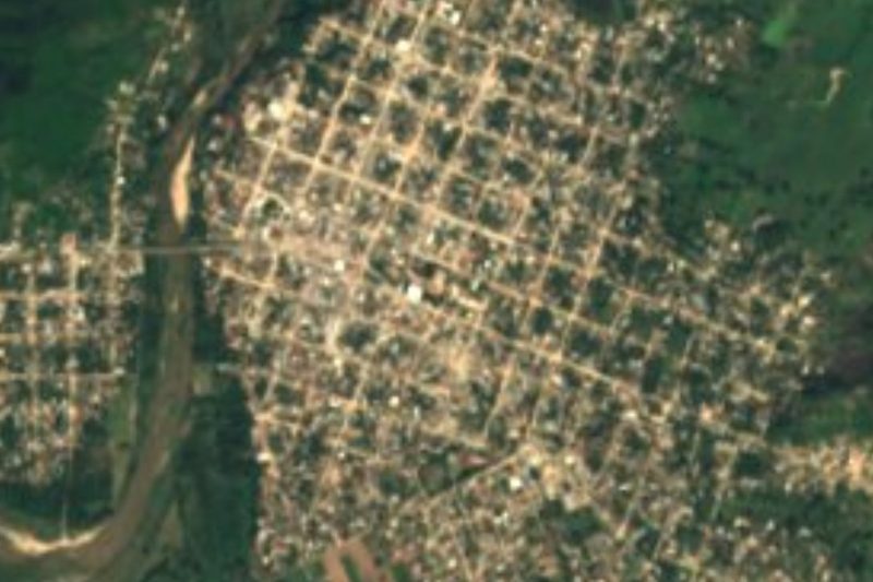


Drive times by road from OpenStreetMap, without traffic. Times marked ~ are estimated from the straight-line distance.
Location from OpenStreetMap. Written by Puebloteca.