Town Candelaria Loxicha, Oaxaca Oaxaca Coast
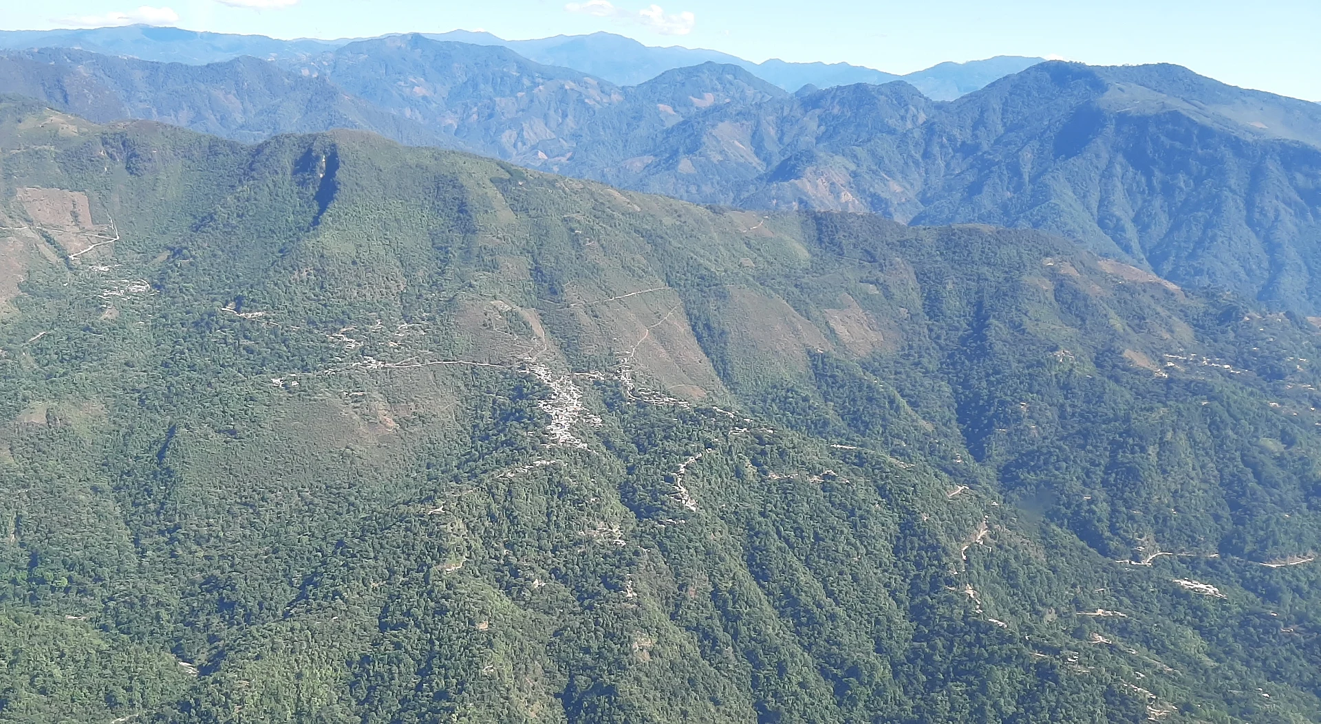
Sierra Sur town at 445 m on Highway 175, 32 km from Pochutla; a Zapotec municipality of 79 localities governed by usos y costumbres.
From Salina Cruz: 2 h 50 min by car (216 km by road) How to get there ↓
Near here
See everything nearby ↓



Plan your visit to Candelaria Loxicha
Where to stay near Candelaria Loxicha
Compare hotels, posadas and guest houses in Candelaria Loxicha.
Tours to Candelaria Loxicha
Day trips around Mazunte sometimes stop in Candelaria Loxicha; a tour is the easy way to see it without a car.
How to get to Candelaria Loxicha
- From Salina Cruz: about 2 h 50 min by road (~216 km)
- Nearest airport: Huatulco (HUX), 44 min by car to Mazunte
Links open a partner site. We may earn a commission if you book, at no cost to you.
About Candelaria Loxicha
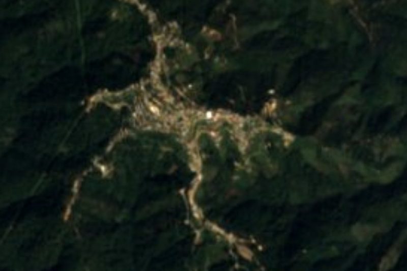
The Zapotec name is said to mean "place of pineapples". Candelaria Loxicha stands at 445 m in the Sierra Madre del Sur and is the seat of a municipality of 11,166 people (2020 census), 2,324 of whom live in the town itself; the rest are spread across 79 localities. About 62.5% of residents over five speak an indigenous language, mostly Zapotec.
Oral tradition says the settlement began some three hundred years ago, when people from San Agustín Loxicha gathered at a spot called Ranchería del río San Juan. After independence it came under San Agustín Loxicha; a decree of the Oaxaca Congress on 7 December 1881 gave it town status and its present name, and the municipality was separated from San Agustín on 23 October 1891.
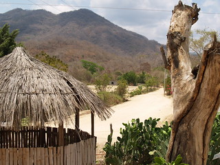
The climate is warm and subhumid with summer rains, cooler and wetter in the north and hotter and drier in the south. Vegetation runs from cloud forest to medium forest and savanna, with mahogany and huanacaxtle trees, and wild boar and deer live in the hills. The town council is chosen by usos y costumbres, without political parties, with five municipal agencies. No official source publishes tourist sights; it is mostly visited in passing on Highway 175.
How to get to Candelaria Loxicha
Drive from Salina Cruz: 2 h 50 min, 216 km
Federal Highway 175 runs through Candelaria Loxicha from north to south. From the coast, San Pedro Pochutla is about 32 km away and Puerto Ángel about 42 km; to the north, Miahuatlán de Porfirio Díaz is about 100 km and Oaxaca city about 200 km by road (Wikipedia figures, approximate). From Oaxaca take Highway 175 towards Miahuatlán and Pochutla and descend into the sierra; it is sierra road, so allow several hours (approximate). From Pochutla the trip follows the same 175 northwards. Mazunte is about 30 km away in a straight line. We found no named bus lines or colectivos published for this route, so ask at the Pochutla or Oaxaca terminals.
Directions to Candelaria Loxicha on Google Maps
Distances are in a straight line; the road is usually longer.
Links open a partner site. We may earn a commission if you book, at no cost to you.
From the nearest cities to Candelaria Loxicha
- Salina Cruz · 216 km by road, 2 h 50 min
- Oaxaca · 191 km by road, 3 h 20 min
- Juchitán · 258 km by road, 3 h 30 min
Drive times by road from OpenStreetMap, without traffic or stops. Times marked ~ are estimated from the straight-line distance.
Visiting Candelaria Loxicha: what to see and do
Walk the town at 445 m on Highway 175.
Watch the sierra and its mahogany and huanacaxtle forest from the road.
Hear Zapotec in town.
Ask at the town hall about nearby agencies and hamlets.
Use the town as a stop on Highway 175.
Plan your trip
Places to stay in Candelaria Loxicha
Compare hotels, posadas, and rentals in and around Candelaria Loxicha.
Tours & activities
Day trips around Mazunte sometimes stop in Candelaria Loxicha; a tour is the easy way to see it without a car.
Rental cars
Pick up a car at HUX (Huatulco): about 44 min by road to Mazunte, then 30 km more to Candelaria Loxicha, on your own schedule.
Flights
The nearest airport with scheduled flights is Huatulco (HUX), about 44 min by road from Mazunte, the base for Candelaria Loxicha.
Mobile data
Signal can drop away from Mazunte: download a map of the way to Candelaria Loxicha before you set out, or carry an eSIM with data.
Links open a partner site. We may earn a commission if you book, at no cost to you.
When to go to Candelaria Loxicha warm
Candelaria Loxicha shares the climate of Mazunte, 30 km away. The best months to visit are January, February, November, and December.
See the month-by-month climate of Mazunte
Weather in Candelaria Loxicha now and the next 7 days
Live forecast from Open-Meteo. Chance of rain is the day's highest.
The closest Pueblo Mágico: Mazunte

Mazunte is the Pueblo Mágico closest to Candelaria Loxicha, with places to stay, food, and more to see.
Closest to Candelaria Loxicha
-
Pluma Hidalgo · Village · 8 km away
-
San Miguel Suchixtepec · Town · 19 km away
-
San Pedro Pochutla · Town · 20 km away
-
Santa María Huatulco · Town · 21 km away
-
Santa María Tonameca · Town · 21 km away
-
San Mateo Río Hondo · Village · 25 km away
-
Playa La Boquilla · Beach · 27 km away
-
San José del Pacífico · Village · 27 km away


Near Candelaria Loxicha
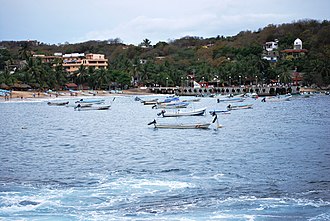


Drive times by road from OpenStreetMap, without traffic. Times marked ~ are estimated from the straight-line distance.
Location from OpenStreetMap. Written by Puebloteca.