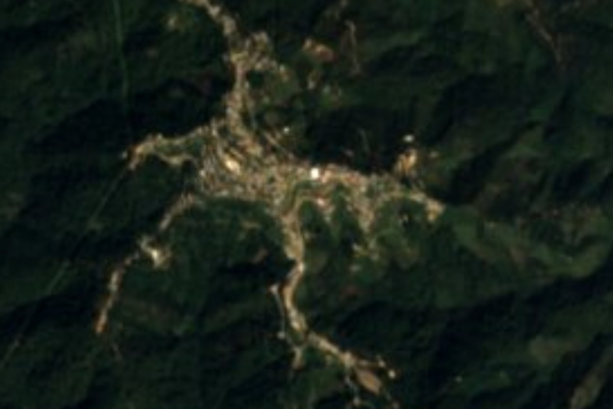
Town San Miguel Suchixtepec, Oaxaca Oaxaca Coast
Sierra Sur municipal seat at 2,584 m with a Nahuatl name meaning flowery face of the hill, among pine forests.
From Oaxaca: 2 h 25 min by car (151 km by road) How to get there ↓
Near here
See everything nearby ↓


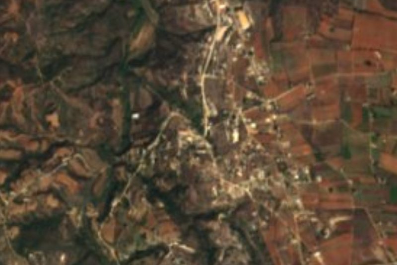

Plan your visit to San Miguel Suchixtepec
Where to stay near San Miguel Suchixtepec
Compare hotels, posadas and guest houses in San Miguel Suchixtepec.
Tours to San Miguel Suchixtepec
Day trips around Mazunte sometimes stop in San Miguel Suchixtepec; a tour is the easy way to see it without a car.
 Tours from Huatulco
Tour to Copalitilla Magical Waterfalls from Huatulco with admission included
★ 4.9 (414) · From US$55
How to get to San Miguel Suchixtepec
- From Oaxaca: about 2 h 25 min by road (~151 km)
- Nearest airport: Huatulco (HUX), 44 min by car to Mazunte
Links open a partner site. We may earn a commission if you book, at no cost to you.
Tours from Huatulco, near San Miguel Suchixtepec


Tours, prices and ratings from Viator, checked weekly. We may earn a commission if you book.
About San Miguel Suchixtepec
The name Suchixtepec comes from Nahuatl and is read as "on the flowery face of the hill" (xochitl, flower; ixtli, face; tepetl, hill). The town is recorded as founded around 1600 and stands at 2,584 m in the Sierra Madre del Sur, in the Miahuatlán district, with San Miguel Arcángel as its patron. It is the seat of a 107.17 km² municipality with 15 localities and 2,932 inhabitants in 2020.
The town itself had 1,781 people in that census, against 1,417 in 1950; the peak was 1,798 in 2010. Ninety percent identify as indigenous and 48% speak an indigenous language. Services are better than in many mountain seats: two in three homes had a mobile phone and almost half had internet in 2020. Small paraje hamlets such as Barrio Santa Lucía and La Luz del Sol lie around it, along with larger localities such as Loma Morillo (427 people) and, just outside the municipality, San Mateo Río Hondo, nearly 6 km west.
The terrain is mountainous and the climate temperate to semi-warm and humid: 16 to 18 °C on average, lows of 6 to 8 °C and 1,200 to 1,500 mm of rain a year. The San Miguel river, part of the Copalita basin, runs through the municipality. Cerro San Lorenzo (2,475 m) and Cerro Samialtepec (2,987 m) stand near the village. No lodging is registered in the village itself; cabins lie about 8 to 14 km away.
How to get to San Miguel Suchixtepec
Drive from Oaxaca: 2 h 25 min, 151 km
Suchixtepec is in the Sierra Sur, Miahuatlán district, in the mountains crossed by federal highway 175 toward the Oaxaca coast. From the city of Oaxaca it is 111 km as the crow flies (about 2 hours 10 minutes as an estimate), and 48 km in a straight line from Mazunte (about an hour); by road the numbers are higher. The sensible route is Oaxaca to Miahuatlán on the 175, then onward transport into the sierra.
We found no timetables, operators or departure points for colectivos to Suchixtepec itself. There is a reference to shared pickups from Miahuatlán to San José del Pacífico, but not to this village, so ask in Miahuatlán for the pickup to Suchixtepec. If you drive, leave in daylight: it rains heavily: 1,200 to 1,500 mm a year. Bring cash and let someone know your return plan, because there is no lodging in the village.
Directions to San Miguel Suchixtepec on Google Maps
Distances are in a straight line; the road is usually longer.
Links open a partner site. We may earn a commission if you book, at no cost to you.
From the nearest cities to San Miguel Suchixtepec
- Oaxaca · 151 km by road, 2 h 25 min
- Salina Cruz · 228 km by road, 3 h 20 min
- Juchitán · 271 km by road, 4 h
Drive times by road from OpenStreetMap, without traffic or stops. Times marked ~ are estimated from the straight-line distance.
Before you go to San Miguel Suchixtepec: hours, prices and tips
- What to bring
- Rain jacket and a warm layer: lows of 6 to 8 °C and 1,200 to 1,500 mm of rain a year. Wikipedia · checked Oct 2026
Hours and prices change, especially around holidays. Each fact links to where we checked it.
Visiting San Miguel Suchixtepec: what to see and do
Walk the village centre.
Walk to Barrio Santa Lucía, 1 km away.
Look at Cerro San Lorenzo, 2.4 km to the northeast.
Follow the San Miguel river in the lower part of the municipality.
Ask about Loma Morillo, 3 km to the southeast.
Plan your trip
Places to stay in San Miguel Suchixtepec
Compare hotels, posadas, and rentals in and around San Miguel Suchixtepec.
Tours & activities
Day trips around Mazunte sometimes stop in San Miguel Suchixtepec; a tour is the easy way to see it without a car.
Rental cars
Pick up a car at HUX (Huatulco): about 44 min by road to Mazunte, then 48 km more to San Miguel Suchixtepec, on your own schedule.
Flights
The nearest airport with scheduled flights is Huatulco (HUX), about 44 min by road from Mazunte, the base for San Miguel Suchixtepec.
Mobile data
Signal can drop away from Mazunte: download a map of the way to San Miguel Suchixtepec before you set out, or carry an eSIM with data.
Links open a partner site. We may earn a commission if you book, at no cost to you.
When to go to San Miguel Suchixtepec warm
San Miguel Suchixtepec shares the climate of Mazunte, 48 km away. The best months to visit are January, February, November, and December.
See the month-by-month climate of Mazunte
Weather in San Miguel Suchixtepec now and the next 7 days
Live forecast from Open-Meteo. Chance of rain is the day's highest.
The closest Pueblo Mágico: Mazunte

Mazunte is the Pueblo Mágico closest to San Miguel Suchixtepec, with places to stay, food, and more to see.
Closest to San Miguel Suchixtepec
-
San Mateo Río Hondo · Village · 6 km away
-
San José del Pacífico · Village · 9 km away
-
Candelaria Loxicha · Town · 19 km away
-
Pluma Hidalgo · Village · 19 km away
-
Santo Tomás Tamazulapan · Town · 24 km away
-
Santiago Xanica · Town · 27 km away
-
Miahuatlán de Porfirio Díaz · Town · 30 km away
-
Santa María Huatulco · Town · 32 km away

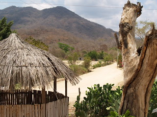
Near San Miguel Suchixtepec


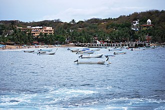


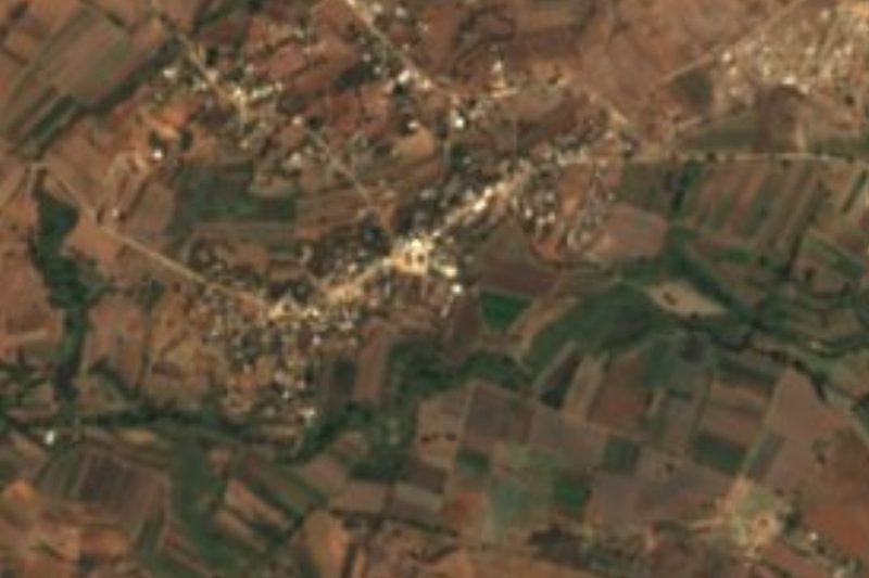
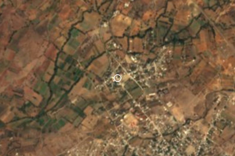


Drive times by road from OpenStreetMap, without traffic. Times marked ~ are estimated from the straight-line distance.
Location from OpenStreetMap. Written by Puebloteca.