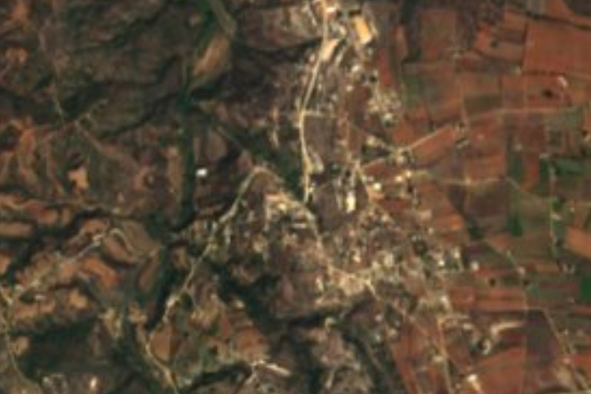
Town Santo Tomás Tamazulapan, Oaxaca Sierra Sur of Oaxaca
Sierra Sur town at 1,680 m beside Miahuatlán on the Oaxaca-Puerto Ángel road; moles in many variants and the sones del borrego.
From Oaxaca: 1 h 40 min by car (110 km by road) How to get there ↓
Near here
See everything nearby ↓



Plan your visit to Santo Tomás Tamazulapan
Where to stay near Santo Tomás Tamazulapan
Compare hotels, posadas and guest houses in Santo Tomás Tamazulapan.
Tours to Santo Tomás Tamazulapan
Day trips around Mazunte sometimes stop in Santo Tomás Tamazulapan; a tour is the easy way to see it without a car.
 Tours from Puerto Escondido
Dolphin & Whale Watching in Puerto Escondido
★ 4.8 (362) · From US$61
How to get to Santo Tomás Tamazulapan
- From Oaxaca: about 1 h 40 min by road (~110 km)
- Nearest airport: Huatulco (HUX), 44 min by car to Mazunte
Links open a partner site. We may earn a commission if you book, at no cost to you.
Tours from Puerto Escondido, near Santo Tomás Tamazulapan


Tours, prices and ratings from Viator, checked weekly. We may earn a commission if you book.
About Santo Tomás Tamazulapan
Tamazulapan means "river of the toads" in Nahuatl (tamazollin, toad, and apan, river), and Santo Tomás is the patron apostle. The town, at 1,680 metres, is the seat of a municipality of only 66.6 square kilometres in the Miahuatlán district of the Sierra Sur, governed by customary law (usos y costumbres). Growth has been clear in recent decades: 1,171 people in 2000, 1,559 in 2010 and 2,021 in 2020, and in 2020 18.8% of residents identified as Indigenous.
Besides the seat, the municipality has five other localities in the 2020 census: Los Manantiales, El Cerrito, San Jerónimo Miahuatlán, Cerro de Tepalcatillos and Güilotes. Hills ring the town: Piedra Colorada (2,051 m), Piedra Blanca (2,111 m), La Cruz (2,058 m) and Cerro Azul (2,307 m). The climate is temperate, 10 to 20 degrees C and 600 to 1,200 mm of rain a year; half the land is forest and nearly a third is grassland.
At the table there is mole in several variants and, at fiestas, people play and dance the sones del borrego and del guajolote. We found no local crafts or tourist sights listed. In the 2020 census nearly 79% of homes had a mobile phone and 38% internet, so expect signal in town. Visitors who have left comments mention poor street surfaces and water cuts; treat it as a roadside stop rather than a multi-day destination.
How to get to Santo Tomás Tamazulapan
Drive from Oaxaca: 1 h 40 min, 110 km
Santo Tomás Tamazulapan lies on the Oaxaca-Puerto Ángel road (federal highway 175), between kilometres 101 and 105 counted from Oaxaca, about 5 km from Miahuatlán de Porfirio Díaz, roughly 100 km or two to three hours from Oaxaca city.
By bus: the route to Miahuatlán de Porfirio Díaz has, per the route planner, Serpevass and Miahuatecos Líneas Unidas every 30 minutes (about 2 h 30 min), Blanesca-Diamante vans hourly (2 h) and Ejecutivos Eclipse several times a day. Oaxaca's first-class terminal is on Calzada Niños Héroes de Chapultepec; check there where the southbound buses leave. From Miahuatlán you can take a taxi for the short hop to Tamazulapan; we found no published colectivo.
If you are heading on to the coast on route 175, the town is on the way; the road is paved federal highway.
Directions to Santo Tomás Tamazulapan on Google Maps
Distances are in a straight line; the road is usually longer.
Links open a partner site. We may earn a commission if you book, at no cost to you.
From the nearest cities to Santo Tomás Tamazulapan
- Oaxaca · 110 km by road, 1 h 40 min
- Juchitán · about 220 km by road, ~3 h 15 min
- Tuxtepec · about 270 km by road, ~4 h
Drive times by road from OpenStreetMap, without traffic or stops. Times marked ~ are estimated from the straight-line distance.
Visiting Santo Tomás Tamazulapan: what to see and do
Stop in the plaza and see how the town works.
Ask about the sones del borrego and del guajolote at fiestas.
Try the local mole, which comes in several versions.
Look out at Piedra Colorada, Piedra Blanca and Cerro Azul from town.
Pair the visit with Miahuatlán de Porfirio Díaz, about 5 km away.
Plan your trip
Places to stay in Santo Tomás Tamazulapan
Compare hotels, posadas, and rentals in and around Santo Tomás Tamazulapan.
Tours & activities
Day trips around Mazunte sometimes stop in Santo Tomás Tamazulapan; a tour is the easy way to see it without a car.
Rental cars
Pick up a car at HUX (Huatulco): about 44 min by road to Mazunte, then 67 km more to Santo Tomás Tamazulapan, on your own schedule.
Flights
The nearest airport with scheduled flights is Huatulco (HUX), about 44 min by road from Mazunte, the base for Santo Tomás Tamazulapan.
Mobile data
Signal can drop away from Mazunte: download a map of the way to Santo Tomás Tamazulapan before you set out, or carry an eSIM with data.
Links open a partner site. We may earn a commission if you book, at no cost to you.
When to go to Santo Tomás Tamazulapan warm
Santo Tomás Tamazulapan shares the climate of Mazunte, 67 km away. The best months to visit are January, February, November, and December.
See the month-by-month climate of Mazunte
Weather in Santo Tomás Tamazulapan now and the next 7 days
Live forecast from Open-Meteo. Chance of rain is the day's highest.
The closest Pueblo Mágico: Mazunte

Mazunte is the Pueblo Mágico closest to Santo Tomás Tamazulapan, with places to stay, food, and more to see.
Also close to
Closest to Santo Tomás Tamazulapan
-
Miahuatlán de Porfirio Díaz · Town · 6 km away
-
San José del Pacífico · Village · 14 km away
-
San Mateo Río Hondo · Village · 20 km away
-
San Miguel Suchixtepec · Town · 24 km away
-
Coatecas Altas · Town · 31 km away
-
Taniche · Town · 37 km away
-
San Miguel Ejutla · Village · 38 km away
-
Candelaria Loxicha · Town · 40 km away
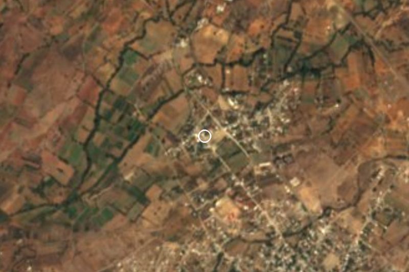

Near Santo Tomás Tamazulapan





Drive times by road from OpenStreetMap, without traffic. Times marked ~ are estimated from the straight-line distance.
Location from OpenStreetMap. Written by Puebloteca.