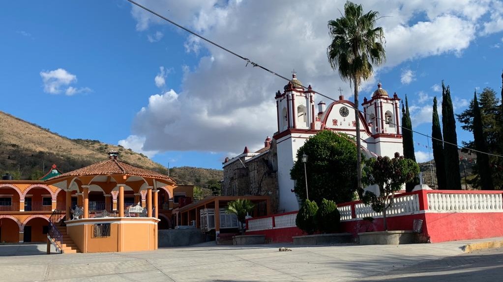
Town San Andrés Zabache, Oaxaca Central Valleys of Oaxaca
Tiny municipality at the south end of the Central Valleys near Ejutla de Crespo: 748 people, 1,430 m, and the San Andrés fiesta on 30 November.
From Oaxaca: 1 h by car (60 km by road) How to get there ↓
Near here
See everything nearby ↓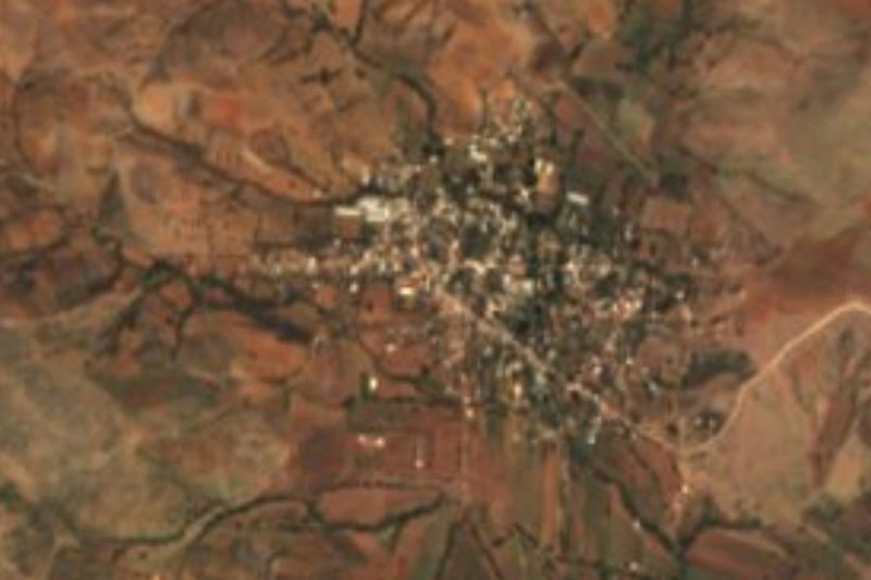


Plan your visit to San Andrés Zabache
Where to stay near San Andrés Zabache
Compare hotels, posadas and guest houses in San Andrés Zabache.
Tours to San Andrés Zabache
Day trips around Juquila sometimes stop in San Andrés Zabache; a tour is the easy way to see it without a car.
 Tours from Oaxaca City
Hierve el Agua 2.5 hours, Mitla, Tule, Rugs and Mezcal for a Day
★ 4.9 (1,558) · From US$70
How to get to San Andrés Zabache
- From Oaxaca: about 1 h by road (~60 km)
- Nearest airport: Puerto Escondido (PXM), 1 h 22 min by car to Juquila
Links open a partner site. We may earn a commission if you book, at no cost to you.
Tours from Oaxaca City, near San Andrés Zabache


Tours, prices and ratings from Viator, checked weekly. We may earn a commission if you book.
About San Andrés Zabache
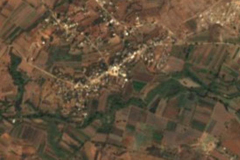
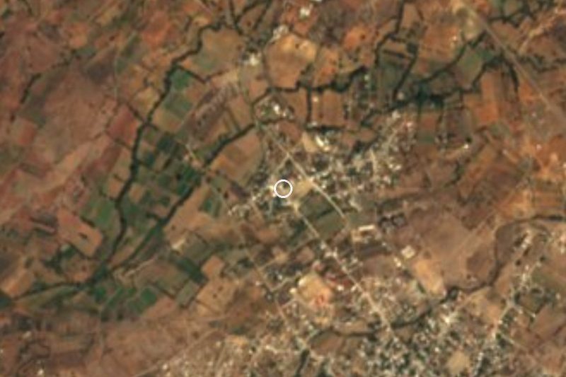
San Andrés Zabache sits at the southern end of the Central Valleys, at about 1,430 m, in the Ejutla district. Its Zapotec name is read as "he who goes to the seven tombs". The municipality is one of the smallest in the state, just 6.85 km², with a single locality, the seat itself, which counted 748 people in 2020 (726 in 2010). It borders San Martín Lachilá and Ejutla de Crespo to the north and La Compañía on its other three sides.
The land is dry hills of low scrub dominated by mesquite, guaje and cazahuate trees, while home gardens hold lime, guava, pomegranate, pitahaya, avocado and loquat. The soil is thin and stony, and cropland and cattle pasture are practically the only natural resources. Skunks, opossums, rabbits, coyotes and rattlesnakes still live in the brush; deer are now very few. The climate is mild: about 20 °C on average, May the warmest month and June the wettest, roughly 770 mm of rain a year, and January mornings that can drop to a few degrees above freezing.
The big fiesta is 30 November, the day of San Andrés Apóstol, with processions, a fair and a dance. Independence Day is marked with the midnight grito, regional food and fireworks, and for All Saints families set out altars of flowers and fruit for the dead. A festival table brings mole, coloradito, pipián, chichilo and barbecued rabbit, goat or beef, with mezcal and tepache to drink; brass-band music is the favourite.
There are no hotels, museums or listed monuments in the village. It suits someone touring the small farming communities at the south end of the Central Valleys, and the practical base is Ejutla de Crespo.
How to get to San Andrés Zabache
Drive from Oaxaca: 1 h, 60 km
From Oaxaca city take Federal Highway 175 south, toward Miahuatlán and Pochutla; Ejutla de Crespo is about 60 km from the capital. Zabache lies northwest of Ejutla, about 14 km away (approx.), right next to San Martín Lachilá (a little over 1 km). By road, Oaxaca to Zabache is roughly 57 km and about an hour by car.
By bus, Serpevass and Miahuatecos Líneas Unidas run Oaxaca to Ejutla about every 30 minutes (around 1 h 40 min depending on traffic). We found no direct bus to Zabache and no published colectivo timetable: from the Ejutla terminal, hire a taxi or ask about transport toward San Martín Lachilá and Zabache. Tuesday is market day in Ejutla, a good reason to arrive early and find a ride out to the village.
Bring cash and water: the village has no registered hotels, and the nearest lodging is in Ejutla de Crespo.
Directions to San Andrés Zabache on Google Maps
Distances are in a straight line; the road is usually longer.
Links open a partner site. We may earn a commission if you book, at no cost to you.
From the nearest cities to San Andrés Zabache
- Oaxaca · 60 km by road, 1 h
- Huajuapan de León · 230 km by road, 3 h 20 min
- Tuxtepec · about 240 km by road, ~3 h 30 min
Drive times by road from OpenStreetMap, without traffic or stops. Times marked ~ are estimated from the straight-line distance.
Before you go to San Andrés Zabache: hours, prices and tips
- Best time of day
- 30 November, the fiesta of San Andrés Apóstol (procession, fair, dance). INAFED Enciclopedia de los Municipios · checked Oct 2026
- Best season
- Rainy season runs about May to October (June is the wettest); January is the coolest month. Pueblos de América · checked Oct 2026
Hours and prices change, especially around holidays. Each fact links to where we checked it.
Visiting San Andrés Zabache: what to see and do
Come for the fiesta of San Andrés Apóstol on 30 November.
Walk the plaza, the bandstand and the village church.
Hike the hills of mesquite and guaje around the village.
Try mole, coloradito or barbacoa at fiesta time, with mezcal or tepache.
Visit neighbouring San Martín Lachilá, just over 1 km away.
Go to Ejutla de Crespo on Tuesday for its market.
Plan your trip
Places to stay in San Andrés Zabache
Compare hotels, posadas, and rentals in and around San Andrés Zabache.
Tours & activities
Day trips around Juquila sometimes stop in San Andrés Zabache; a tour is the easy way to see it without a car.
Rental cars
Pick up a car at PXM (Puerto Escondido): about 1 h 22 min by road to Juquila, then 61 km more to San Andrés Zabache, on your own schedule.
Flights
The nearest airport with scheduled flights is Puerto Escondido (PXM), about 1 h 22 min by road from Juquila, the base for San Andrés Zabache.
Mobile data
Signal can drop away from Juquila: download a map of the way to San Andrés Zabache before you set out, or carry an eSIM with data.
Links open a partner site. We may earn a commission if you book, at no cost to you.
When to go to San Andrés Zabache mild
San Andrés Zabache shares the climate of Juquila, 61 km away. The best months to visit are January, February, March, and December.
See the month-by-month climate of Juquila
Weather in San Andrés Zabache now and the next 7 days
Live forecast from Open-Meteo. Chance of rain is the day's highest.
The closest Pueblo Mágico: Juquila

Juquila is the Pueblo Mágico closest to San Andrés Zabache, with places to stay, food, and more to see.
Also close to
- Mitla · Oaxaca · 64 km away
Closest to San Andrés Zabache
-
La Pe · Town · 7 km away
-
San Sebastián de las Grutas · Village · 11 km away
-
Taniche · Town · 12 km away
-
San Miguel Ejutla · Village · 13 km away
-
San Martín de los Cansecos · Town · 15 km away
-
Villa Sola de Vega · Town · 16 km away
-
Santa María Sola · Town · 17 km away
-
Coatecas Altas · Town · 21 km away


Near San Andrés Zabache


Drive times by road from OpenStreetMap, without traffic. Times marked ~ are estimated from the straight-line distance.
Location from OpenStreetMap. Written by Puebloteca.