

Town Villa Sola de Vega, Oaxaca Sierra Sur of Oaxaca
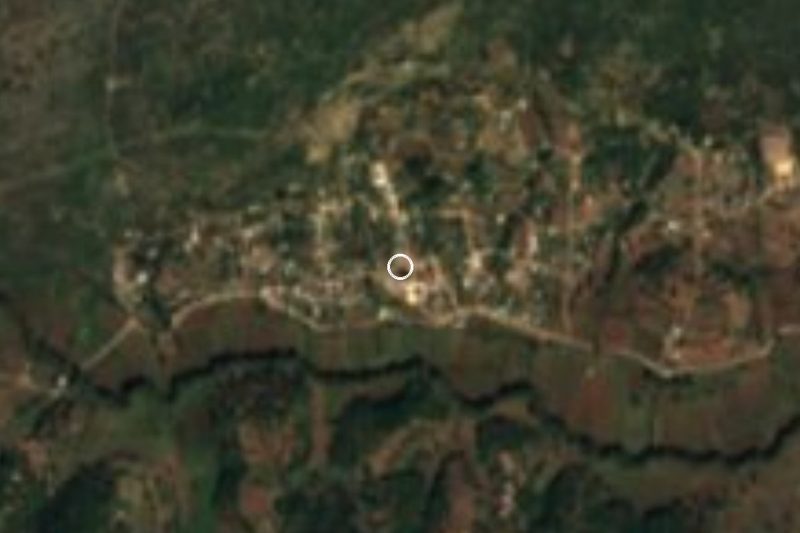
Seat of Sola de Vega at about 1,400 m in the Sierra Sur; the name means place of quail, with a mild climate and rain most of the year.
From Oaxaca: 1 h 25 min by car (85 km by road) How to get there ↓
Near here
See everything nearby ↓


Plan your visit to Villa Sola de Vega
Where to stay near Villa Sola de Vega
Compare hotels, posadas and guest houses in Villa Sola de Vega.
Tours to Villa Sola de Vega
Day trips around Juquila sometimes stop in Villa Sola de Vega; a tour is the easy way to see it without a car.
How to get to Villa Sola de Vega
- From Oaxaca: about 1 h 25 min by road (~85 km)
- Nearest airport: Puerto Escondido (PXM), 1 h 22 min by car to Juquila
Links open a partner site. We may earn a commission if you book, at no cost to you.
About Villa Sola de Vega
The Sola in the name comes from Nahuatl zollin, "quail", and is usually read as "where quail abound"; "de Vega" recalls José María de la Vega, the town's 18th-century benefactor. Villa Sola de Vega is the seat of the municipality of the same name, in Oaxaca's Sierra Sur, at about 1,400 m, with the Sola river, a tributary of the Atoyac, passing the town.
In 2020 it had 2,439 inhabitants and is the largest locality in a municipality of 111 localities and about 12,350 people. The town had 3,903 people in 1900, fell to 988 in 1980 and has recovered since. Residents are called solteños. The municipality lies where the Central Valleys meet the Sierra Madre del Sur: pine and oak forest on the heights, and Zapotec is spoken in the area, in variants such as Lachixío and Elotepec Zapotec.
The climate is mild: the average yearly temperature is about 19.7 °C, with January the coolest month (18.2 °C) and April the warmest (21.5 °C), and about 1,160 mm of rain a year, mostly in June. The local economy rests on corn and beans, with some logging. Peaks stand around the town, such as Cerro El Obispo, about 6 km east and above 2,400 m, and the neighbouring settlements of San Francisco Sola and San Ildefonso Sola lie within a kilometre.
How to get to Villa Sola de Vega
Drive from Oaxaca: 1 h 25 min, 85 km
Villa Sola de Vega is about 66 km in a straight line from Oaxaca city (the draft estimates 75 minutes; through the mountains allow more, roughly 2 hours). The paved access runs through the Zimatlán valley and on toward the coast by the road that links to Puerto Escondido (Federal Highway 131 joins Oaxaca and Puerto Escondido, 248 km), so from Oaxaca you leave southward through Zimatlán de Álvarez and climb into the sierra. Juquila is about 46 km away in a straight line (roughly 55 minutes by the draft's estimate, longer in the mountains). We found no published bus timetables or operator names: ask at Oaxaca's second-class terminals or in Zimatlán, where pickups and colectivos serve the district's municipalities. Rain falls on about 265 days a year in the sierra (Pueblos de América); drive carefully.
Directions to Villa Sola de Vega on Google Maps
Distances are in a straight line; the road is usually longer.
Links open a partner site. We may earn a commission if you book, at no cost to you.
From the nearest cities to Villa Sola de Vega
- Oaxaca · 85 km by road, 1 h 25 min
- Huajuapan de León · 255 km by road, 3 h 45 min
- Tuxtepec · about 255 km by road, ~3 h 45 min
Drive times by road from OpenStreetMap, without traffic or stops. Times marked ~ are estimated from the straight-line distance.
Visiting Villa Sola de Vega: what to see and do
Walk the centre and plaza of the municipal seat.
Look in on the Sola river beside the town.
Head for Cerro El Obispo, about 6 km east, for a hike.
Walk to San Francisco Sola, 400 m south.
Come in June to see the countryside under the heaviest rains.
Plan your trip
Places to stay in Villa Sola de Vega
Compare hotels, posadas, and rentals in and around Villa Sola de Vega.
Tours & activities
Day trips around Juquila sometimes stop in Villa Sola de Vega; a tour is the easy way to see it without a car.
Rental cars
Pick up a car at PXM (Puerto Escondido): about 1 h 22 min by road to Juquila, then 46 km more to Villa Sola de Vega, on your own schedule.
Flights
The nearest airport with scheduled flights is Puerto Escondido (PXM), about 1 h 22 min by road from Juquila, the base for Villa Sola de Vega.
Mobile data
Signal can drop away from Juquila: download a map of the way to Villa Sola de Vega before you set out, or carry an eSIM with data.
Links open a partner site. We may earn a commission if you book, at no cost to you.
When to go to Villa Sola de Vega mild
Villa Sola de Vega shares the climate of Juquila, 46 km away. The best months to visit are January, February, March, and December.
See the month-by-month climate of Juquila
Weather in Villa Sola de Vega now and the next 7 days
Live forecast from Open-Meteo. Chance of rain is the day's highest.
The closest Pueblo Mágico: Juquila

Juquila is the Pueblo Mágico closest to Villa Sola de Vega, with places to stay, food, and more to see.
Also close to
- Mitla · Oaxaca · 79 km away
Closest to Villa Sola de Vega
-
Santa María Sola · Town · 6 km away
-
San Sebastián de las Grutas · Village · 13 km away
-
San Andrés Zabache · Town · 16 km away
-
La Pe · Town · 23 km away
-
San Pedro Juchatengo · Town · 23 km away
-
Taniche · Town · 25 km away
-
San Miguel Ejutla · Village · 27 km away
-
San Martín de los Cansecos · Town · 31 km away
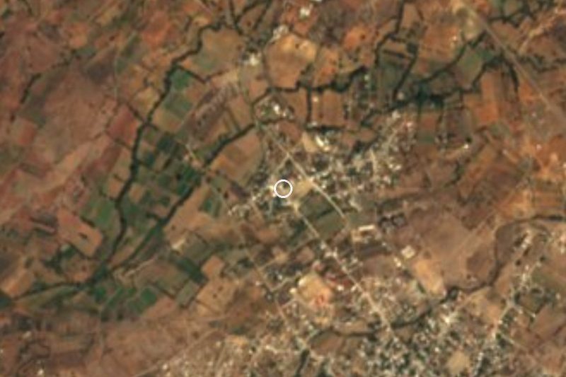

Near Villa Sola de Vega


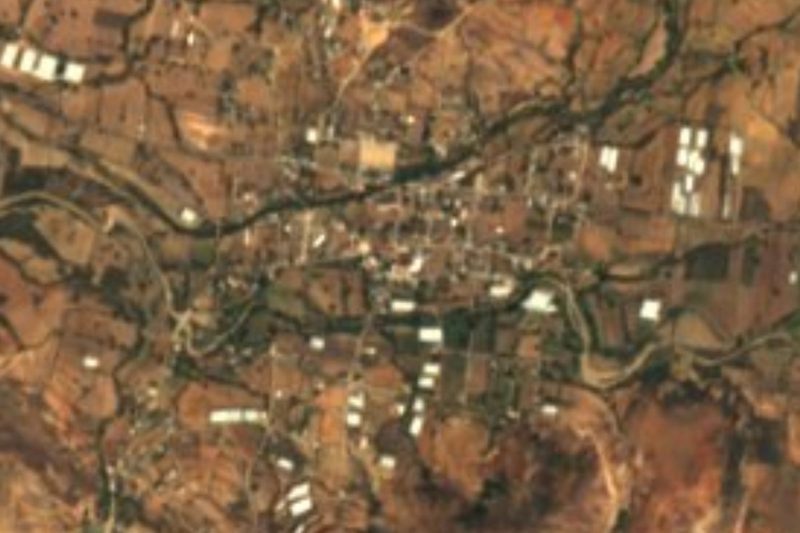
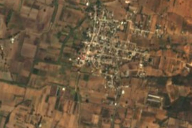
Drive times by road from OpenStreetMap, without traffic. Times marked ~ are estimated from the straight-line distance.
Location from OpenStreetMap. Written by Puebloteca.