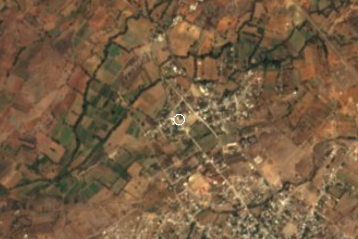
Village San Miguel Ejutla, Oaxaca Sierra Sur of Oaxaca
Village of 973 people about 2 km from Ejutla de Crespo on the Oaxaca-Puerto Ángel highway, with a church full of old religious images.
From Oaxaca: 1 h by car (62 km by road) How to get there ↓
Near here
See everything nearby ↓


Plan your visit to San Miguel Ejutla
Where to stay near San Miguel Ejutla
Compare hotels, posadas and guest houses in San Miguel Ejutla.
Tours to San Miguel Ejutla
Day trips and guided outings from Mitla often include San Miguel Ejutla; with a local guide you can get there without a car.
 Tours from Oaxaca City
Hierve el Agua 2.5 hours, Mitla, Tule, Rugs and Mezcal for a Day
★ 4.9 (1,558) · From US$70
How to get to San Miguel Ejutla
- From Oaxaca: about 1 h by road (~62 km)
- Nearest airport: Oaxaca (OAX), 47 min by car to Mitla
Links open a partner site. We may earn a commission if you book, at no cost to you.
Tours from Oaxaca City, near San Miguel Ejutla


Tours, prices and ratings from Viator, checked weekly. We may earn a commission if you book.
About San Miguel Ejutla
Ejutla comes from Nahuatl and is read as the place where green beans (ejotes) are plentiful; San Miguel is the patron archangel. The village stands at about 1,450 metres in the south of the Central Valleys, almost against the city of Ejutla de Crespo (about 2 km to the southeast). With 973 people in 2020 it is the centre of the municipality of San Miguel Ejutla. Its population fell from 541 in 1900 to 361 in 1921 and has been climbing since: 622 in 2005, 803 in 2010 and 973 in 2020.
Almost everything happens in Spanish here: only 3.7% of residents speak an indigenous language. Housing figures show a village tied to its large neighbour: of some 262 homes, about 89% have a mobile phone, over 70% have internet and nearly 38% have a car.
The climate is temperate highland, averaging around 19.5 °C, with little rain by Oaxaca standards (about 700 mm a year, June being the wettest month); January is the cool month and May the hot one. The municipality covers about 41 km2 of rolling country among hills such as El Mexicano (1,824 m, about 4 km to the northeast) and El Brujo.
The parish church keeps old religious images that have been photographed in detail: the Dolorosa, Christ in the purple cloak, El Dios de la Peña, the Virgen de la Soledad and several Franciscan and Dominican saints. Around the village are small settlements such as El Higo and La Ciénega, and neighbourhoods that are almost villages of their own, such as Taniche (887 people) and Yegoseve (473).
How to get to San Miguel Ejutla
Drive from Oaxaca: 1 h, 62 km
San Miguel Ejutla lies on the federal Oaxaca-Puerto Ángel highway (175), about 2 km northwest of the centre of Ejutla de Crespo. From the city of Oaxaca, buses and colectivos heading south leave from the stands around the Central de Abastos; the ride to Ejutla takes about an hour (about 53 km as the crow flies, more by road). Ask to be dropped at the village entrance, or get off in Ejutla de Crespo and go on to San Miguel by taxi or on foot, about 2 km.
We found no published timetable or bus line name for this stretch: ask at the colectivo stand for the one marked Ejutla. By car, take highway 175 south past Ocotlán; the village is right on the road. There is a fonda on the highway and far more food in Ejutla de Crespo; the nearest hotels (Villa Nazaret, Ejutla de Mis Recuerdos) are in that city, 2 to 3 km away.
Directions to San Miguel Ejutla on Google Maps
Distances are in a straight line; the road is usually longer.
Links open a partner site. We may earn a commission if you book, at no cost to you.
From the nearest cities to San Miguel Ejutla
- Oaxaca · 62 km by road, 1 h
- Huajuapan de León · 232 km by road, 3 h 20 min
- Tuxtepec · about 235 km by road, ~3 h 25 min
Drive times by road from OpenStreetMap, without traffic or stops. Times marked ~ are estimated from the straight-line distance.
Visiting San Miguel Ejutla: what to see and do
Step into the church of San Miguel and look for the Dolorosa, El Dios de la Peña and the Virgen de la Soledad.
Walk to Taniche, about 2 km northeast, along tracks between maize fields.
Eat at Fonda Sin Ombre on the highway, or at the taquerías in Ejutla de Crespo.
Take the track toward Cerro El Mexicano for a view over the Ejutla valley.
Combine the trip with the centre of Ejutla de Crespo, about 2 km away.
Plan your trip
Places to stay in San Miguel Ejutla
Compare hotels, posadas, and rentals in and around San Miguel Ejutla.
Tours & activities
Day trips and guided outings from Mitla often include San Miguel Ejutla; with a local guide you can get there without a car.
Rental cars
Pick up a car at OAX (Oaxaca): about 47 min by road to Mitla, then 55 km more to San Miguel Ejutla, on your own schedule.
Flights
The nearest airport with scheduled flights is Oaxaca (OAX), about 47 min by road from Mitla, the base for San Miguel Ejutla.
Mobile data
Signal can drop away from Mitla: download a map of the way to San Miguel Ejutla before you set out, or carry an eSIM with data.
Links open a partner site. We may earn a commission if you book, at no cost to you.
When to go to San Miguel Ejutla mild
San Miguel Ejutla shares the climate of Mitla, 55 km away. The best months to visit are January, February, March, and December.
See the month-by-month climate of Mitla
Weather in San Miguel Ejutla now and the next 7 days
Live forecast from Open-Meteo. Chance of rain is the day's highest.
The closest Pueblo Mágico: Mitla

Mitla is the Pueblo Mágico closest to San Miguel Ejutla, with places to stay, food, and more to see.
Also close to
- Juquila · Oaxaca · 70 km away
Closest to San Miguel Ejutla
-
Taniche · Town · 2 km away
-
La Pe · Town · 8 km away
-
Coatecas Altas · Town · 9 km away
-
San Martín de los Cansecos · Town · 9 km away
-
San Andrés Zabache · Town · 13 km away
-
Ocotlán de Morelos · Town · 24 km away
-
San Sebastián de las Grutas · Village · 24 km away
-
San Antonino Castillo Velasco · Town · 25 km away
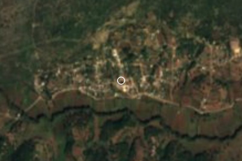

Near San Miguel Ejutla


Drive times by road from OpenStreetMap, without traffic. Times marked ~ are estimated from the straight-line distance.
Location from OpenStreetMap. Written by Puebloteca.