
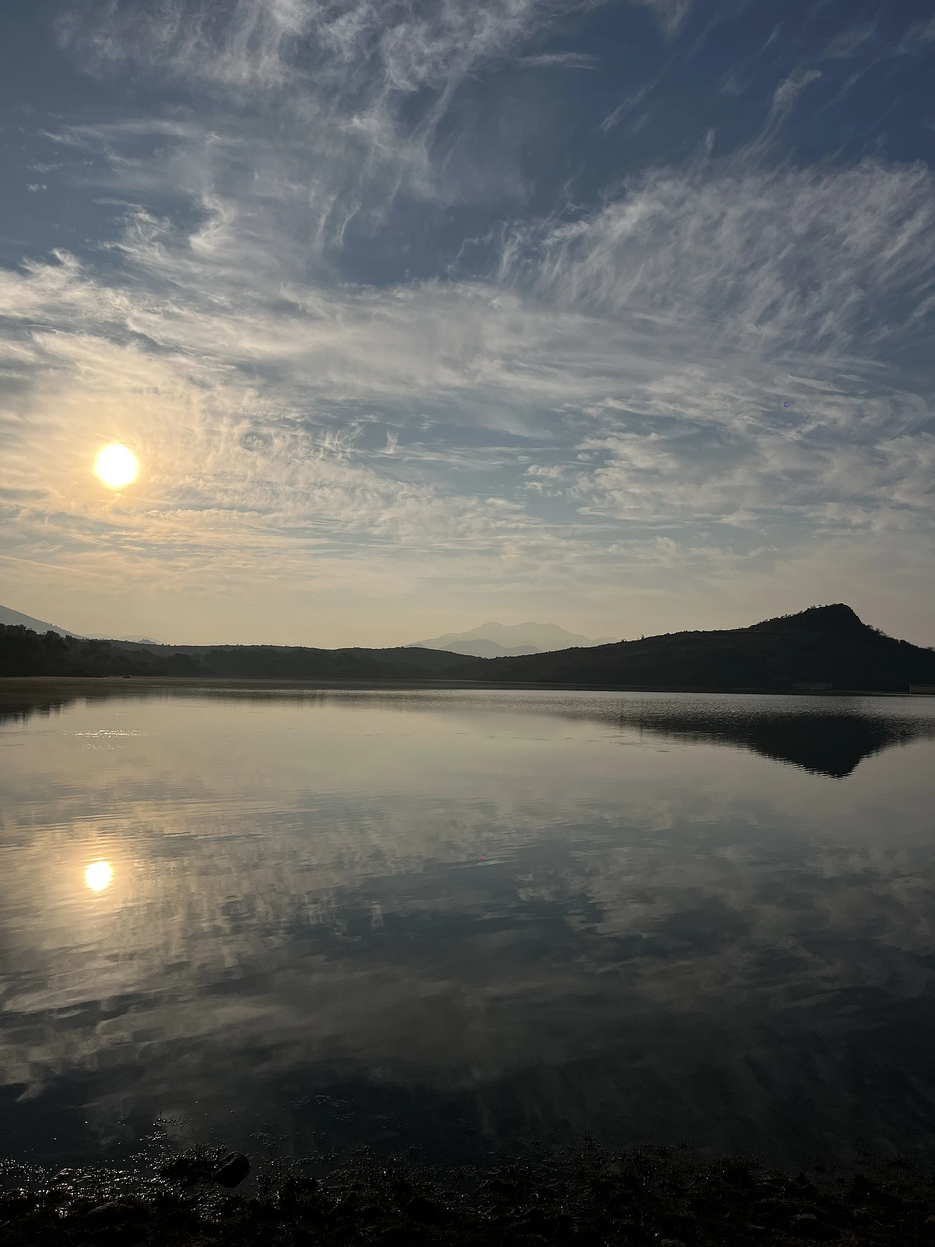


Town San Baltazar Chichicápam, Oaxaca Central Valleys of Oaxaca
Mezcal town in the Ocotlán district at 1,553 m, with family palenques, a reservoir and the bitter river that gives it its name.
From Oaxaca: 1 h by car (53 km by road) How to get there ↓
Near here
See everything nearby ↓


Plan your visit to San Baltazar Chichicápam
Where to stay near San Baltazar Chichicápam
Compare hotels, posadas and guest houses in San Baltazar Chichicápam.
Tours to San Baltazar Chichicápam
Day trips around Mitla sometimes stop in San Baltazar Chichicápam; a tour is the easy way to see it without a car.
How to get to San Baltazar Chichicápam
- From Oaxaca: about 1 h by road (~53 km)
- Nearest airport: Oaxaca (OAX), 47 min by car to Mitla
Links open a partner site. We may earn a commission if you book, at no cost to you.
About San Baltazar Chichicápam
The name is Nahuatl: chichic, bitter, and apan, river, so "bitter river", and the town still has that river, called Río de la Amargura on Commons, running between ahuehuete trees with huge exposed roots. San Baltazar is King Balthazar, the community's patron. Chichicápam is the seat of its own municipality in the Ocotlán district, at 1,553 metres above sea level in the south of the Central Valleys, and it counted 2,552 residents in 2020. The census peak was 3,309 in 1990; in 1900 there were 1,375.
Mezcal is the economy of many households here. A 2023 study in the INIFAP journal Revista Mexicana de Ciencias Agrícolas surveyed ten palenques in the community and found output of 2,000 to 15,000 litres a year per palenque, made from Agave angustifolia (espadín), A. marmorata (tepextate) and A. potatorum (tobalá), and sometimes blends. Mesquite and oak firewood cook the piñas, and producers use about 9 kg of espadín per litre; the scarcer tobalá takes 16.7 kg per litre. The Del Maguey brand makes its Chichicapa at a García family palenque with a pit oven, a horse-drawn tahona and copper stills. Mezcaleros such as Fortunato Hernández receive visitors for tastings, and Berta Vásquez is credited with teaching many of the local maestros.
The town also has a reservoir, from which sunrises over the water are photographed, and the bitter river runs through walls of tree roots. The patron-saint celebrations centre on King Balthazar, but we found no published dates.
How to get to San Baltazar Chichicápam
Drive from Oaxaca: 1 h, 53 km
Chichicápam is about an hour south of Oaxaca, in the Ocotlán district (Mezcal Maniac); in a straight line it is about 42 km. The usual route follows federal highway 175 south to Ocotlán de Morelos, around 40 minutes from the centre (InsideHook), then the road on to Chichicápam; we found no official published route or the exact condition of the last stretch, and one producer describes the final part as a dirt road. Signs are scarce and mobile data fails: load the map and the palenque's pin while you have a connection. Without a car, colectivos toward Ocotlán and the south leave from the area around Oaxaca's mercado de abastos (Thatch guide); in Ocotlán ask for transport to Chichicápam, as we found no schedules or companies. Confirm any palenque visit beforehand: one visitor's appointment was cancelled because the mezcalera was at a doctor's visit. Mitla is about 22 km away in a straight line, but no direct road is documented.
Directions to San Baltazar Chichicápam on Google Maps
Distances are in a straight line; the road is usually longer.
Links open a partner site. We may earn a commission if you book, at no cost to you.
From the nearest cities to San Baltazar Chichicápam
- Oaxaca · 53 km by road, 1 h
- Tuxtepec · about 200 km by road, ~2 h 55 min
- Salina Cruz · 232 km by road, 3 h
Drive times by road from OpenStreetMap, without traffic or stops. Times marked ~ are estimated from the straight-line distance.
Visiting San Baltazar Chichicápam: what to see and do
Visit a palenque by appointment and taste espadín, tobalá and cuixe.
See how piñas are baked in a pit oven over mesquite wood.
Walk to the reservoir at sunrise.
Follow the bitter river between ahuehuetes with giant roots.
Buy bottles straight from the producer.
Plan your trip
Places to stay in San Baltazar Chichicápam
Compare hotels, posadas, and rentals in and around San Baltazar Chichicápam.
Tours & activities
Day trips around Mitla sometimes stop in San Baltazar Chichicápam; a tour is the easy way to see it without a car.
Rental cars
Pick up a car at OAX (Oaxaca): about 47 min by road to Mitla, then 22 km more to San Baltazar Chichicápam, on your own schedule.
Flights
The nearest airport with scheduled flights is Oaxaca (OAX), about 47 min by road from Mitla, the base for San Baltazar Chichicápam.
Mobile data
Signal can drop away from Mitla: download a map of the way to San Baltazar Chichicápam before you set out, or carry an eSIM with data.
Links open a partner site. We may earn a commission if you book, at no cost to you.
Photos
When to go to San Baltazar Chichicápam mild
San Baltazar Chichicápam shares the climate of Mitla, 22 km away. The best months to visit are January, February, March, and December.
See the month-by-month climate of Mitla
Weather in San Baltazar Chichicápam now and the next 7 days
Live forecast from Open-Meteo. Chance of rain is the day's highest.
The closest Pueblo Mágico: Mitla

Mitla is the Pueblo Mágico closest to San Baltazar Chichicápam, with places to stay, food, and more to see.
Also close to
- Capulálpam de Méndez · Oaxaca · 60 km away
Closest to San Baltazar Chichicápam
-
San Dionisio Ocotepec · Town · 11 km away
-
Santa Catarina Minas · Town · 14 km away
-
San Bartolomé Quialana · Town · 15 km away
-
Santiago Matatlán · Town · 16 km away
-
San Marcos Tlapazola · Town · 17 km away
-
Ocotlán de Morelos · Town · 20 km away
-
San Baltazar Guelavila · Town · 20 km away
-
San Antonino Castillo Velasco · Town · 21 km away


Near San Baltazar Chichicápam
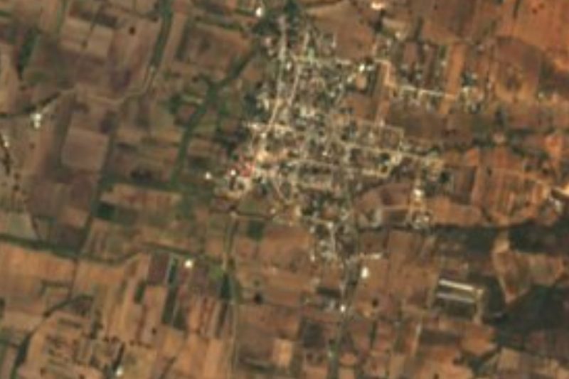


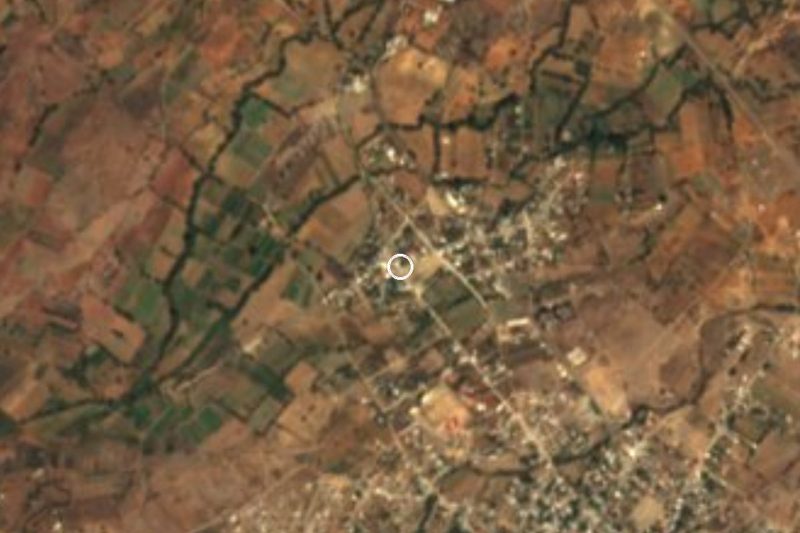


Drive times by road from OpenStreetMap, without traffic. Times marked ~ are estimated from the straight-line distance.
Location from OpenStreetMap. Written by Puebloteca.