
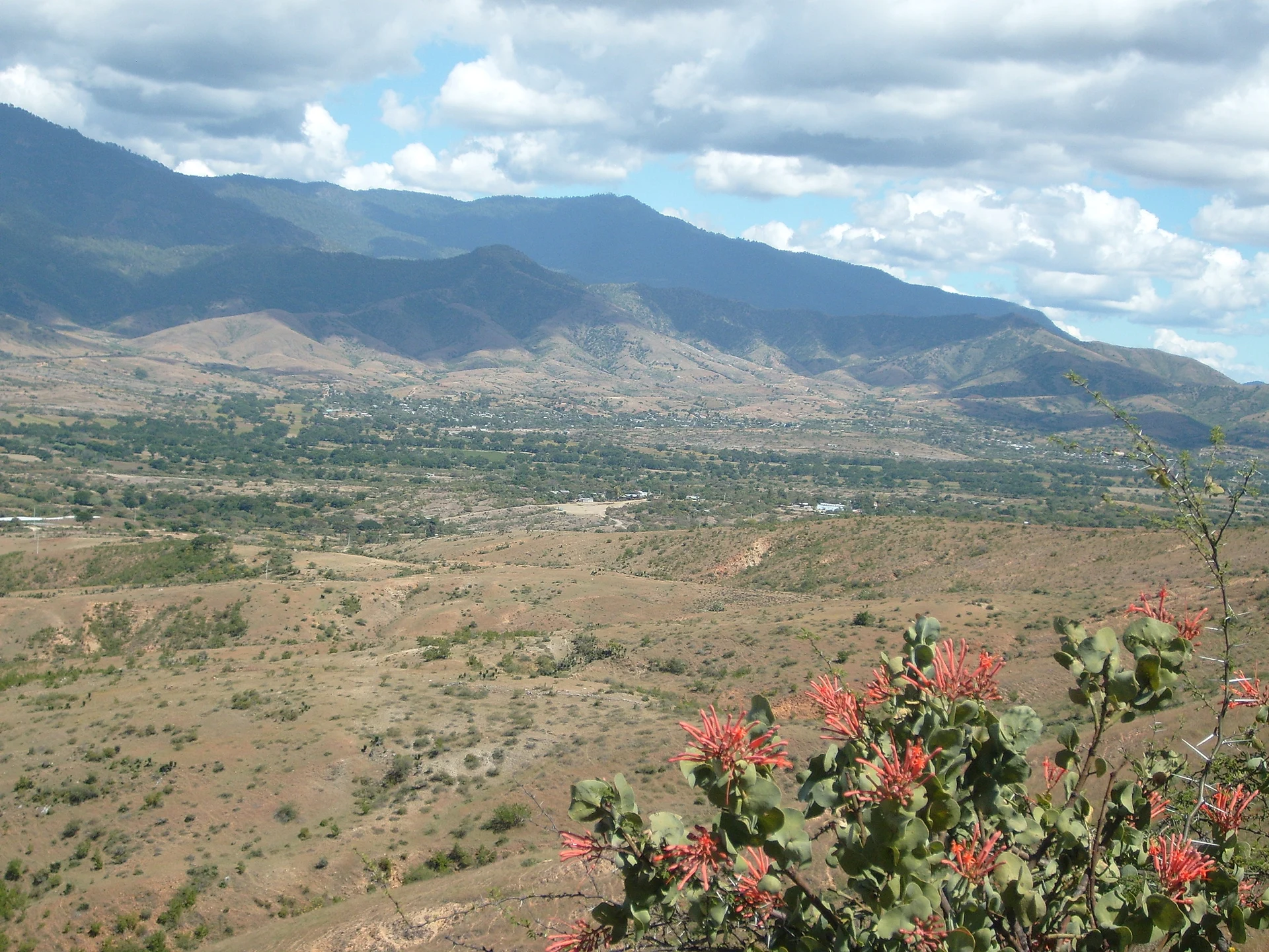
A region of Oaxaca
The mountains between the Central Valleys and the coast, crossed by the winding Highway 175 to Pochutla and Highway 131 to Puerto Escondido: cloud forest, coffee farms and cool villages such as San José del Pacífico and San Mateo Río Hondo, with Miahuatlán and Sola de Vega in the valleys.
13 places to visit
Map
Places to visit in Sierra Sur of Oaxaca 13
13 places with their own page, grouped by kind.
Towns
-
Coatecas Altas · Town · Oaxaca
Town at the end of the Ejutla valley, about 1,560 m up at the foot of hills; its stream rises at the Cabeza de río spring. -
La Pe · Town · Oaxaca
Municipal seat in the Ejutla district at 1,490 m, with a railway past and the June 13 fair of San Antonio de Padua. -
San Juan Colorado · Town · Oaxaca
Costa Chica seat at 445 m in the hills behind Pinotepa de Don Luis; almost 99% of residents are Indigenous. San Juan fiesta, 23 to 24 June. -
San Martín de los Cansecos · Town · Oaxaca
Central Valleys town beside highway 175 near Ejutla; fiesta of San Martín on 11 November. -
Santa María Sola · Town · Oaxaca
Sierra Sur town at 1,443 m near Sola de Vega: patron fiesta from 5 to 23 August, the jarabe de la rosa dance and mezcal. -
Santo Tomás Tamazulapan · Town · Oaxaca
Sierra Sur town at 1,680 m beside Miahuatlán on the Oaxaca-Puerto Ángel road; moles in many variants and the sones del borrego. -
Taniche · Town · Oaxaca
Former hacienda next to Ejutla de Crespo in the Central Valleys, birthplace in 1778 of the insurgent priest Manuel Sabino Crespo. -
Villa Sola de Vega · Town · Oaxaca
Seat of Sola de Vega at about 1,400 m in the Sierra Sur; the name means place of quail, with a mild climate and rain most of the year.




Villages
-
Pluma Hidalgo · Village · Oaxaca
The mountain village where Oaxaca's coffee began, at 1,300 m above Huatulco, with historic fincas, waterfalls and its own café Pluma. -
San José del Pacífico · Village · Oaxaca
A cool pine-forest village at about 2,400 m on Highway 175, known for cabins, temazcal baths, sunsets over a sea of clouds and its mushrooms. -
San Mateo Río Hondo · Village · Oaxaca
A quiet municipal seat at 2,300 m in the Sierra Sur, with adobe houses, forest trails, simple cabins and a wild mushroom festival each summer. -
San Miguel Ejutla · Village · Oaxaca
Village of 973 people about 2 km from Ejutla de Crespo on the Oaxaca-Puerto Ángel highway, with a church full of old religious images. -
San Sebastián de las Grutas · Village · Oaxaca
Sierra Sur village with a community-run limestone cave of five huge chambers, an underground river and the Ojo de Agua spring.


Top tours in Sierra Sur of Oaxaca

San Martín de los Cansecos
Hierve el Agua 2.5 hours, Mitla, Tule, Rugs and Mezcal for a Day
From US$70

San Martín de los Cansecos
Hierve el Agua, Tule Tree, Mitla and Mezcal Distillery Tour
From US$60

San Martín de los Cansecos
Monte Alban Guided Half Day Tour
From US$30

San Martín de los Cansecos
OAXACA CULTURAL FOOD TOUR, eat like a local.
From US$103

San Martín de los Cansecos
Immersion Tour and Oaxaca Markets, All gastronomy included
From US$55

San Mateo Río Hondo
Tour to Copalitilla Magical Waterfalls from Huatulco with admission included
From US$55

Santo Tomás Tamazulapan
Dolphin & Whale Watching in Puerto Escondido
From US$61

San Mateo Río Hondo
Full Day Tour of the Bays of Huatulco
From US$40
Tours, prices and ratings from Viator, checked weekly. We may earn a commission if you book.
Getting around Sierra Sur of Oaxaca
Fly into Huatulco (HUX) and Oaxaca (OAX).
Most of the region is reached by road: a rental car is the easiest way to see several places in a day, and buses link the larger towns.