
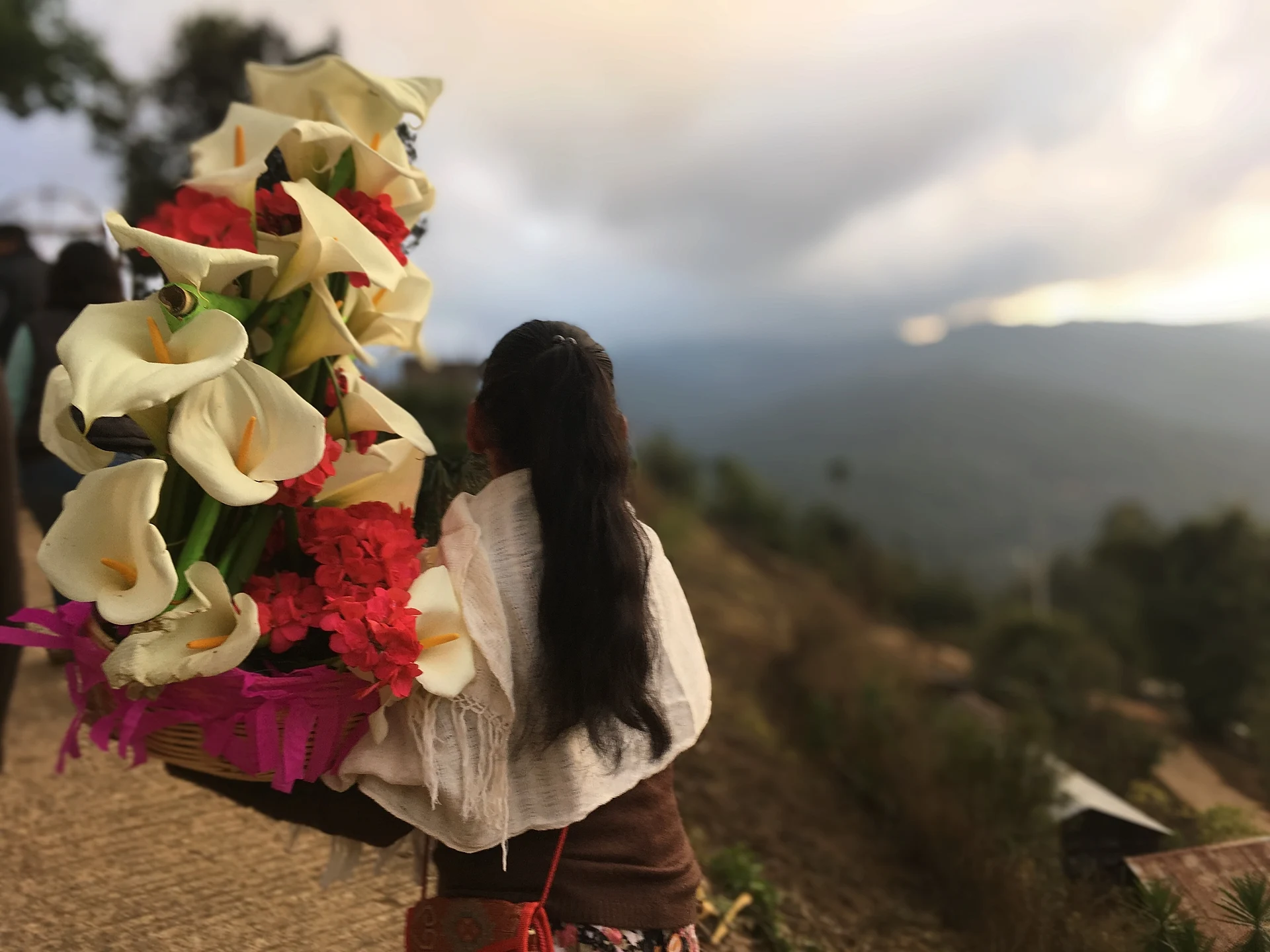
Village San Mateo Río Hondo, Oaxaca Sierra Sur of Oaxaca
A quiet municipal seat at 2,300 m in the Sierra Sur, with adobe houses, forest trails, simple cabins and a wild mushroom festival each summer.
From Oaxaca: 2 h 30 min by car (146 km by road) How to get there ↓
Near here
See everything nearby ↓
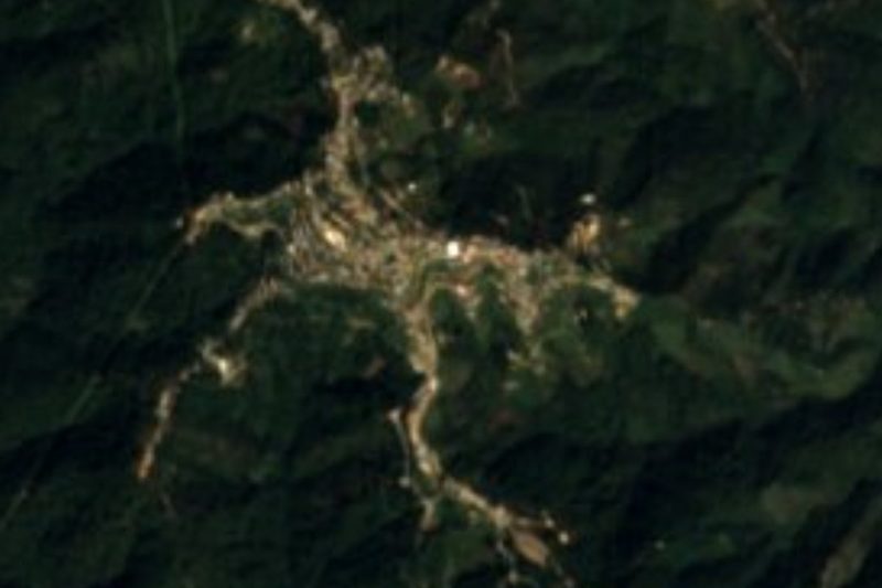


Plan your visit to San Mateo Río Hondo
Where to stay near San Mateo Río Hondo
Compare hotels, posadas and guest houses in San Mateo Río Hondo.
Tours to San Mateo Río Hondo
Day trips and guided outings from Mazunte often include San Mateo Río Hondo; with a local guide you can get there without a car.
 Tours from Huatulco
Tour to Copalitilla Magical Waterfalls from Huatulco with admission included
★ 4.9 (414) · From US$55
How to get to San Mateo Río Hondo
- From Oaxaca: about 2 h 30 min by road (~146 km)
- Nearest airport: Huatulco (HUX), 44 min by car to Mazunte
Links open a partner site. We may earn a commission if you book, at no cost to you.
Tours from Huatulco, near San Mateo Río Hondo


Tours, prices and ratings from Viator, checked weekly. We may earn a commission if you book.
About San Mateo Río Hondo
San Mateo Río Hondo is the seat of the municipality of the same name in the district of Miahuatlán, in the southern Sierra Sur of Oaxaca. The village stands at about 2,300 m in steep, forested mountains whose peaks reach around 3,000 m, a few kilometres east of San José del Pacífico and Highway 175. It had 956 inhabitants in 2020, while the whole municipality, which takes in San José del Pacífico, San Ildefonso Ozolotepec and dozens of smaller settlements, had about 3,200. The Río Hondo and Río San Antonio drain its valleys.
In colonial times the town was known as Tetiquipa Río Hondo; its Nahuatl name Xaltengo and Zapotec name Yegoyoxi both mean 'river of sand'. The first settlement probably lay lower down, near the river. During the colonial period it was a stopping place on the Camino Real between Oaxaca and the port of Huatulco and lived from trade and services to travellers, until Huatulco lost its importance as a port. With thin, eroded soils, the local economy turned to forestry, small plots of maize and orchards of coffee, peaches and apples.
San Mateo is far less busy than San José. Many houses still have adobe walls and wooden beams, and the old adobe wall of the former church enclosure survives on the main square beside the town hall. A handful of small guesthouses, the oldest a set of rustic cabins opened in the 1970s by an American traveller, sit on the eastern edge of the village, close to paths into the forest. The year's main fiesta honours the Señor de las Siete Velas from 5 to 8 March, with a calenda of giant puppets, the town band, basketball and a dance; San Mateo himself is celebrated on 21 September. For several years the village has also hosted a Festival del Hongo devoted to the wild mushrooms of its cloud forests, with walks, talks, cooking and crafts.
How to get to San Mateo Río Hondo
Drive from Oaxaca: 2 h 30 min, 146 km
From Oaxaca city take Highway 175 south through Miahuatlán toward Pochutla. The village is reached either from San José del Pacífico, about 8 km by a local road, or from the turn-off at Zapotitlán, about 12 km on a mostly unpaved road. The Oaxaca–Pochutla shared vans stop at San José and Zapotitlán, and pickup trucks carry passengers on to San Mateo.
Directions to San Mateo Río Hondo on Google Maps
Distances are in a straight line; the road is usually longer.
Links open a partner site. We may earn a commission if you book, at no cost to you.
From the nearest cities to San Mateo Río Hondo
- Oaxaca · 146 km by road, 2 h 30 min
- Salina Cruz · 243 km by road, 3 h 35 min
- Tuxtepec · about 285 km by road, ~4 h 10 min
Drive times by road from OpenStreetMap, without traffic or stops. Times marked ~ are estimated from the straight-line distance.
Before you go to San Mateo Río Hondo: hours, prices and tips
- Best time of day
- The Festival del Hongo was held 31 July–2 August in 2026 (its sixth edition), in the middle of the mushroom season. Ecoosfera · checked Oct 2026
- Best season
- Main fiestas: Señor de las Siete Velas 5–8 March, Virgen de los Remedios 29 August–1 September, San Mateo 21 September. Rains run May to October. Plan Municipal San Mateo Río Hondo 2008–2010 · checked Oct 2026
Hours and prices change, especially around holidays. Each fact links to where we checked it.
Visiting San Mateo Río Hondo: what to see and do
Walk the forest paths that start at the eastern edge of the village.
Look at the old adobe church wall on the main square.
Stay in one of the small cabin guesthouses with views over the Río Hondo valley.
Come for the Festival del Hongo at the turn of July and August.
Join the fiesta of the Señor de las Siete Velas in early March.
Try the local mole de frijol and dishes with quelites.
Plan your trip
Places to stay in San Mateo Río Hondo
Compare hotels, posadas, and rentals in and around San Mateo Río Hondo.
Tours & activities
Day trips and guided outings from Mazunte often include San Mateo Río Hondo; with a local guide you can get there without a car.
Rental cars
Pick up a car at HUX (Huatulco): about 44 min by road to Mazunte, then 54 km more to San Mateo Río Hondo, on your own schedule.
Flights
The nearest airport with scheduled flights is Huatulco (HUX), about 44 min by road from Mazunte, the base for San Mateo Río Hondo.
Mobile data
Signal can drop away from Mazunte: download a map of the way to San Mateo Río Hondo before you set out, or carry an eSIM with data.
Links open a partner site. We may earn a commission if you book, at no cost to you.
When to go to San Mateo Río Hondo warm
San Mateo Río Hondo shares the climate of Mazunte, 54 km away. The best months to visit are January, February, November, and December.
See the month-by-month climate of Mazunte
Weather in San Mateo Río Hondo now and the next 7 days
Live forecast from Open-Meteo. Chance of rain is the day's highest.
The closest Pueblo Mágico: Mazunte

Mazunte is the Pueblo Mágico closest to San Mateo Río Hondo, with places to stay, food, and more to see.
Closest to San Mateo Río Hondo
-
San José del Pacífico · Village · 6 km away
-
San Miguel Suchixtepec · Town · 6 km away
-
Santo Tomás Tamazulapan · Town · 20 km away
-
Pluma Hidalgo · Village · 24 km away
-
Candelaria Loxicha · Town · 25 km away
-
Miahuatlán de Porfirio Díaz · Town · 26 km away
-
Santiago Xanica · Town · 28 km away
-
Santa María Huatulco · Town · 37 km away

Near San Mateo Río Hondo






Drive times by road from OpenStreetMap, without traffic. Times marked ~ are estimated from the straight-line distance.
Location from OpenStreetMap. Written by Puebloteca.