Town Miahuatlán de Porfirio Díaz, Oaxaca Oaxaca Coast
Sierra Sur seat at 1,558 m, about 104 km from Oaxaca on highway 175; site of the 3 October 1866 battle won by Porfirio Díaz, with a May fair.
From Oaxaca: 1 h 35 min by car (103 km by road) How to get there ↓
Near here
See everything nearby ↓


Plan your visit to Miahuatlán de Porfirio Díaz
Where to stay near Miahuatlán de Porfirio Díaz
Compare hotels, posadas and guest houses in Miahuatlán de Porfirio Díaz.
Tours to Miahuatlán de Porfirio Díaz
Day trips around Mitla sometimes stop in Miahuatlán de Porfirio Díaz; a tour is the easy way to see it without a car.
How to get to Miahuatlán de Porfirio Díaz
- From Oaxaca: about 1 h 35 min by road (~103 km)
- Nearest airport: Oaxaca (OAX), 47 min by car to Mitla
Links open a partner site. We may earn a commission if you book, at no cost to you.
About Miahuatlán de Porfirio Díaz
Miahuatlán is the seat of Oaxaca's Sierra Sur, at about 1,558 metres, with 29,130 people in 2020. The name comes from Nahuatl and is usually read as "place of the maize ear"; in Zapotec it was known as Pelopenitza and Yezhe Doo, "big town". The Mexica took it under Ahuízotl, Pedro de Alvarado conquered it in 1522, and in 1767 it became an alcaldía mayor. It received its current official name by decree on 27 September 1948.
Its best-remembered date is 3 October 1866, when Porfirio Díaz's forces beat the French near the town, at the Loma de los Nogales; Díaz later counted it his most strategic action of the French intervention. It is marked every year on 1 to 3 October with a queen's coronation and music. The 1931 earthquake destroyed much of the town, including the municipal palace and the Los Arcos aqueduct, and on 7 March 1970 a total solar eclipse was watched from here, which led to its being declared a "World Scientific Centre".
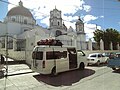
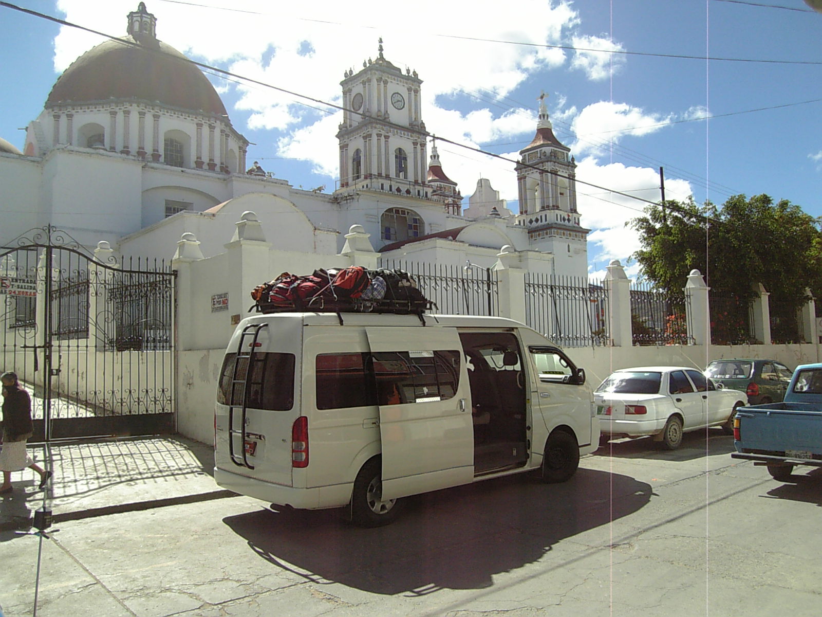
Today it is quick to walk. Facing the garden, with a kiosk from 1904, is the parish church of San Andrés Apóstol with its Dolores chapel; there is a monument to Porfirio Díaz and, on the outskirts, the Cuixtla lookout and Yiroos hill, with maguey fields. The Universidad de la Sierra Sur has been here since 2000, giving the town a student feel.
The calendar has three high points: the Expoferia on 1 to 5 May, with crafts, jaripeos and mezcal producers from the region; Holy Week, with processions and the Good Friday encounter; and Todos los Santos on 1 November, the biggest holiday of the year. The patron saint, Nuestra Señora del Rosario, is celebrated on 7 October.
How to get to Miahuatlán de Porfirio Díaz
Drive from Oaxaca: 1 h 35 min, 103 km
Miahuatlán is on federal highway 175, the road from Oaxaca toward Pochutla and the coast. From the city of Oaxaca it is about 104 km and roughly 1 h 42 min by car according to Calcular Ruta; you leave by the ring road toward Puerto Ángel (MEX-175) and climb and drop through the sierra.
The easiest way is the Líneas Unidas Sprinter vans, which advertise a departure about every 7 minutes, from 4:00 to 22:00, between Oaxaca and Miahuatlán. Their Oaxaca office is at Bustamante 601, Centro; in Miahuatlán it is at 5 de Febrero 203, Centro. Since 2025 the company also advertises first-class runs between Miahuatlán and Mexico City. A guide from the local university also lists Transportes Diamante and Transportes Atlántida, with offices in central Oaxaca. Public transport takes about 2 hours, approximate, and fares differ by source: confirm when you board.
The nearest pueblo in our guide is Mitla, about 70 km as the crow flies, roughly 1 h 20 min or more by road.
Directions to Miahuatlán de Porfirio Díaz on Google Maps
Distances are in a straight line; the road is usually longer.
Links open a partner site. We may earn a commission if you book, at no cost to you.
From the nearest cities to Miahuatlán de Porfirio Díaz
- Oaxaca · 103 km by road, 1 h 35 min
- Juchitán · about 220 km by road, ~3 h 15 min
- Tuxtepec · about 265 km by road, ~3 h 50 min
Drive times by road from OpenStreetMap, without traffic or stops. Times marked ~ are estimated from the straight-line distance.
Before you go to Miahuatlán de Porfirio Díaz: hours, prices and tips
- Best season
- Expoferia on 1 to 5 May; commemoration of the 1866 battle on 1 to 3 October; Todos los Santos on 1 November. Wikipedia · checked Oct 2026
Hours and prices change, especially around holidays. Each fact links to where we checked it.
Visiting Miahuatlán de Porfirio Díaz: what to see and do
Visit the church of San Andrés Apóstol and its Dolores chapel.
Sit in the garden, with its 1904 kiosk.
See the monument to Porfirio Díaz.
Climb to the Cuixtla lookout and Yiroos hill, among maguey fields.
Come on 1 to 3 October for the commemoration of the 1866 battle.
Come on 1 to 5 May for the Expoferia and the mezcal producers.
Plan your trip
Places to stay in Miahuatlán de Porfirio Díaz
Compare hotels, posadas, and rentals in and around Miahuatlán de Porfirio Díaz.
Tours & activities
Day trips around Mitla sometimes stop in Miahuatlán de Porfirio Díaz; a tour is the easy way to see it without a car.
Rental cars
Pick up a car at OAX (Oaxaca): about 47 min by road to Mitla, then 70 km more to Miahuatlán de Porfirio Díaz, on your own schedule.
Flights
The nearest airport with scheduled flights is Oaxaca (OAX), about 47 min by road from Mitla, the base for Miahuatlán de Porfirio Díaz.
Mobile data
Signal can drop away from Mitla: download a map of the way to Miahuatlán de Porfirio Díaz before you set out, or carry an eSIM with data.
Links open a partner site. We may earn a commission if you book, at no cost to you.
When to go to Miahuatlán de Porfirio Díaz mild
Miahuatlán de Porfirio Díaz shares the climate of Mitla, 70 km away. The best months to visit are January, February, March, and December.
See the month-by-month climate of Mitla
Weather in Miahuatlán de Porfirio Díaz now and the next 7 days
Live forecast from Open-Meteo. Chance of rain is the day's highest.
The closest Pueblo Mágico: Mitla

Mitla is the Pueblo Mágico closest to Miahuatlán de Porfirio Díaz, with places to stay, food, and more to see.
Also close to
Closest to Miahuatlán de Porfirio Díaz
-
Santo Tomás Tamazulapan · Town · 6 km away
-
San José del Pacífico · Village · 20 km away
-
Coatecas Altas · Town · 25 km away
-
San Mateo Río Hondo · Village · 26 km away
-
San Miguel Suchixtepec · Town · 30 km away
-
Taniche · Town · 31 km away
-
San Miguel Ejutla · Village · 32 km away
-
San Martín de los Cansecos · Town · 39 km away

Near Miahuatlán de Porfirio Díaz



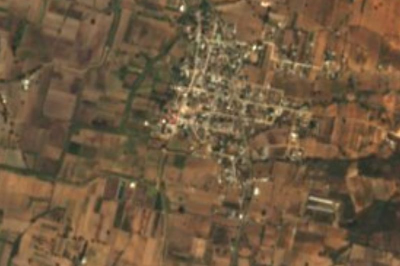


Drive times by road from OpenStreetMap, without traffic. Times marked ~ are estimated from the straight-line distance.
Location from OpenStreetMap. Written by Puebloteca.