Town Santiago Xanica, Oaxaca Oaxaca Coast
Zapotec coffee village in the Sierra Sur, above 1,000 m, growing coffee since 1877; its Santiago fiesta is on 25 July.
From Salina Cruz: 3 h 30 min by car (202 km by road) How to get there ↓
Near here
See everything nearby ↓



Plan your visit to Santiago Xanica
Where to stay near Santiago Xanica
Compare hotels, posadas and guest houses in Santiago Xanica.
Tours to Santiago Xanica
Day trips around Mazunte sometimes stop in Santiago Xanica; a tour is the easy way to see it without a car.
 Tours from Huatulco
Tour to Copalitilla Magical Waterfalls from Huatulco with admission included
★ 4.9 (414) · From US$55
How to get to Santiago Xanica
- From Salina Cruz: about 3 h 30 min by road (~202 km)
- Nearest airport: Huatulco (HUX), 44 min by car to Mazunte
Links open a partner site. We may earn a commission if you book, at no cost to you.
Tours from Huatulco, near Santiago Xanica


Tours, prices and ratings from Viator, checked weekly. We may earn a commission if you book.
About Santiago Xanica
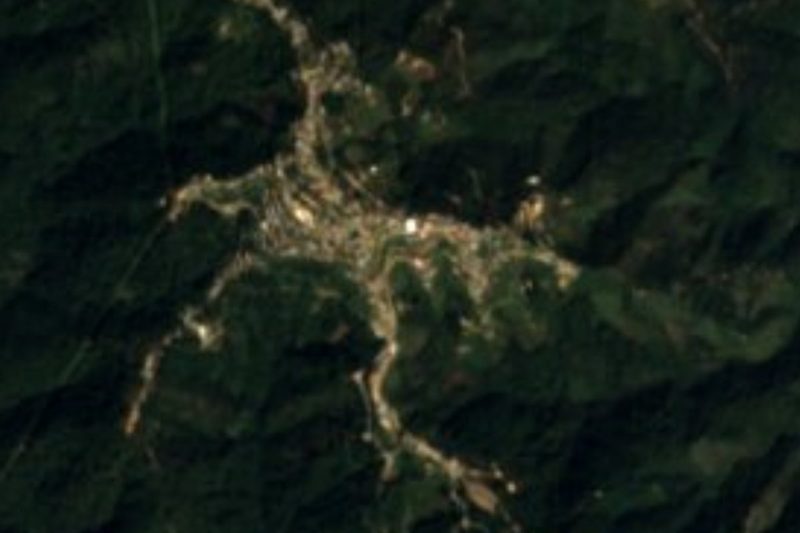
Santiago Xanica sits high in the Sierra Sur, on the slope that drops toward the Huatulco coast, at roughly 1,250 metres above sea level. It is the seat of a municipality of 3,029 people spread over 18 localities; the village itself counted 832 residents in 2020, well below its 1960 peak of 1,482 and a little above the 1990 low of 626. It is run by usos y costumbres, and its name is Zapotec, "place beneath the stone".
Coffee is what defines the place. Around 1877 the brothers Pedro and Teófilo Díaz brought plants from Pluma Hidalgo and founded the finca La Sirena on the slopes of the hill of that name; village memory says Pedro handed out seedlings to neighbours. In that same year Xanica moved from the Pochutla district to Miahuatlán, partly for better communications and because Miahuatlán backed coffee planting. The land stayed communal well into the twentieth century, and the fight over La Sirena pitted the Díaz family against the village authorities for years.
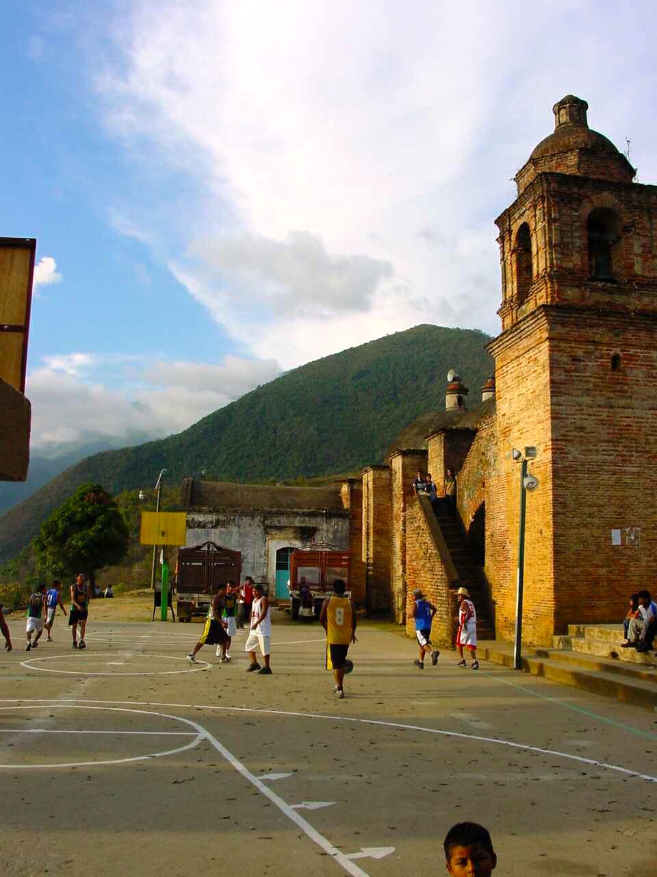
The church, dedicated to Santiago the Apostle, was built in 1820 and looks onto a plaza-cum-sports court ringed by mountains. The patron fiesta is on 25 July, with a procession, food, dancing and fireworks. Like most of the municipality, it is reached by mountain tracks: a long trip, suited to anyone who wants to see a working Sierra Sur coffee community with no organised tourism. Coffee roasted to order can be arranged with local growers, who bring it down to Pochutla.
How to get to Santiago Xanica
Drive from Salina Cruz: 3 h 30 min, 202 km
Xanica is in the Sierra Sur, northeast of Huatulco and east of the Oaxaca-Miahuatlán-Pochutla road (federal highway 175), the artery you use from either side. From the coast (Pochutla or Huatulco) the climb on winding mountain tracks, partly unpaved, took about 4.5 hours according to an undated traveller's account; it varies with the stretch and the rain. We found no bus or colectivo timetable that reaches Xanica: the practical move is to ask in Pochutla or Miahuatlán de Porfirio Díaz about the trucks that run the route, or hire a taxi or high-clearance vehicle with a local driver. From Oaxaca city, highway 175 leads to Miahuatlán and San Pedro Pochutla, with bus service linking the three towns; the hard part starts there. Bring cash, water and a full tank, and do not count on steady cell signal. Landslides on the 175 are common in the rainy season: check road status before leaving.
Directions to Santiago Xanica on Google Maps
Distances are in a straight line; the road is usually longer.
Links open a partner site. We may earn a commission if you book, at no cost to you.
From the nearest cities to Santiago Xanica
- Salina Cruz · 202 km by road, 3 h 30 min
- Juchitán · 244 km by road, 4 h 10 min
- Tuxtepec · about 300 km by road, ~4 h 25 min
Drive times by road from OpenStreetMap, without traffic or stops. Times marked ~ are estimated from the straight-line distance.
Before you go to Santiago Xanica: hours, prices and tips
- Best season
- Fiesta of Santiago Apóstol on 25 July: procession, food, dance, fireworks. Tom Zap, Santiago Xanica · checked Oct 2026
- What to bring
- Cash, water and fuel; the access is long mountain road, partly unpaved. Tom Zap, Santiago Xanica · checked Oct 2026
Hours and prices change, especially around holidays. Each fact links to where we checked it.
Visiting Santiago Xanica: what to see and do
Walk the plaza and see the 1820 church of Santiago Apóstol.
Walk the coffee slopes around the village, best in harvest season.
Ask local growers about coffee roasted to order.
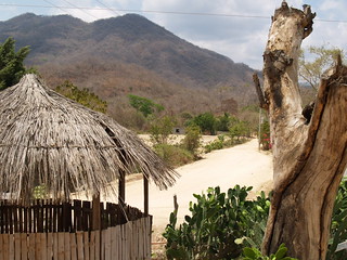
Look out over the sierra from the access roads: the land falls away toward the Huatulco coast.
Come on 25 July for the Santiago fiesta, with procession, dancing and fireworks.
Plan your trip
Places to stay in Santiago Xanica
Compare hotels, posadas, and rentals in and around Santiago Xanica.
Tours & activities
Day trips around Mazunte sometimes stop in Santiago Xanica; a tour is the easy way to see it without a car.
Rental cars
Pick up a car at HUX (Huatulco): about 44 min by road to Mazunte, then 52 km more to Santiago Xanica, on your own schedule.
Flights
The nearest airport with scheduled flights is Huatulco (HUX), about 44 min by road from Mazunte, the base for Santiago Xanica.
Mobile data
Signal can drop away from Mazunte: download a map of the way to Santiago Xanica before you set out, or carry an eSIM with data.
Links open a partner site. We may earn a commission if you book, at no cost to you.
When to go to Santiago Xanica warm
Santiago Xanica shares the climate of Mazunte, 52 km away. The best months to visit are January, February, November, and December.
See the month-by-month climate of Mazunte
Weather in Santiago Xanica now and the next 7 days
Live forecast from Open-Meteo. Chance of rain is the day's highest.
The closest Pueblo Mágico: Mazunte

Mazunte is the Pueblo Mágico closest to Santiago Xanica, with places to stay, food, and more to see.
Closest to Santiago Xanica
-
Cascadas Mágicas de Copalitilla · Waterfall · 15 km away
-
Santa María Huatulco · Town · 22 km away
-
Pluma Hidalgo · Village · 23 km away
-
Río Copalita · Nature reserve · 27 km away
-
San Miguel Suchixtepec · Town · 27 km away
-
San Mateo Río Hondo · Village · 28 km away
-
La Crucecita · Town · 29 km away
-
Bahía de Chahué · Beach · 30 km away


Near Santiago Xanica
-
Bahía El Órgano · Beach · Oaxaca
2 h 10 min: drive to Camino al Maguey trailhead, then 10 min on foot




Drive times by road from OpenStreetMap, without traffic. Times marked ~ are estimated from the straight-line distance.
Location from OpenStreetMap. Written by Puebloteca.