Town Santa María Sola, Oaxaca Sierra Sur of Oaxaca
Sierra Sur town at 1,443 m near Sola de Vega: patron fiesta from 5 to 23 August, the jarabe de la rosa dance and mezcal.
From Oaxaca: 1 h 30 min by car (89 km by road) How to get there ↓
Near here
See everything nearby ↓


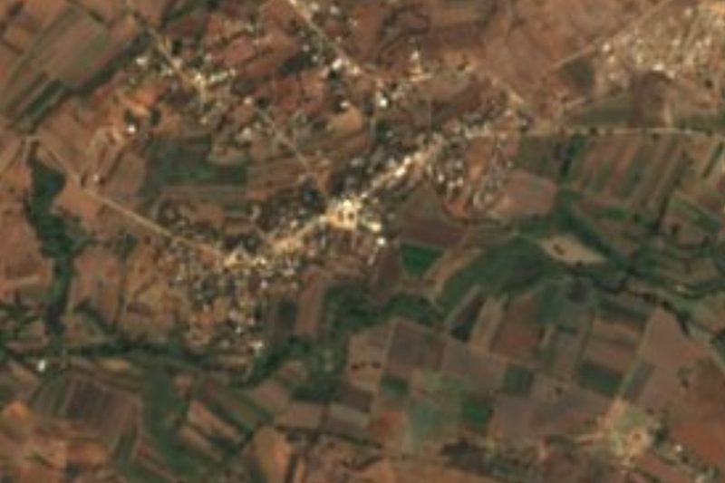
Plan your visit to Santa María Sola
Where to stay near Santa María Sola
Compare hotels, posadas and guest houses in Santa María Sola.
Tours to Santa María Sola
Day trips around Juquila sometimes stop in Santa María Sola; a tour is the easy way to see it without a car.
 Tours from Oaxaca City
Hierve el Agua 2.5 hours, Mitla, Tule, Rugs and Mezcal for a Day
★ 4.9 (1,558) · From US$70
How to get to Santa María Sola
- From Oaxaca: about 1 h 30 min by road (~89 km)
- Nearest airport: Puerto Escondido (PXM), 1 h 22 min by car to Juquila
Links open a partner site. We may earn a commission if you book, at no cost to you.
Tours from Oaxaca City, near Santa María Sola


Tours, prices and ratings from Viator, checked weekly. We may earn a commission if you book.
About Santa María Sola
Santa María Sola is a small municipal seat in the Sierra Sur, at 1,443 m, in the Sola de Vega district. It used to be called Tepanaltepec and belonged to the Zimatlán district until, around 1910-1915, it moved to Sola de Vega. The 2020 census gave it 594 residents; the peak was 963 in 1980 and the low only 389 in 1940. A land dispute with San Juan Sola and Sola de Vega, opened in 1920, has never been settled.
Its services are recent. Electricity arrived in 1970 along with a dirt road for vehicles toward Sola de Vega; the primary school was built in 1975, and the town hall and secondary school in 1985. The climate is highland-temperate: about 19 °C on average, heavy rain (over 1,300 mm), with June the wettest month. Hardly anyone speaks an indigenous language; this is a Spanish-speaking town in a district where mezcal is the main drink and tobalá is also distilled.
The Virgin's fiesta runs from 5 to 23 August, with a novena, the convite on the 13th and a night calenda with a band. On the 15th there is a Mass for the Virgin and a chilena dance; the programme adds horse races, cockfights, a mezcal tasting, fireworks, a Mixtec ball game and a jaripeo rodeo. After that, from 22 August to 2 September, comes the fiesta of the Virgen de los Remedios, and the traditional dance is the jarabe de la rosa.
On the table there is mole negro, mole rojo, mole tamales and pork Zapotec style; these go with tejate, tepache, aguardiente, hot chocolate and, above all, mezcal. The nearby hills are Cumbre de los Magueyes, La Rosa and Cueva Negra, and the Río Grande and Río Santa Rosa Matagallinas run through the municipality.
How to get to Santa María Sola
Drive from Oaxaca: 1 h 30 min, 89 km
Santa María Sola is about 6 km from Villa Sola de Vega, the district seat, and that is where you need to arrive first. From the city of Oaxaca to Sola de Vega, allow 2.5 hours by car on a good day, longer during the December pilgrimage. Travellers report shared vans from Oaxaca to Sola de Vega for around 100 pesos, in about 1 h 30 (an undated figure, so confirm it).
We found no named bus line or colectivo with a fixed schedule all the way to Santa María Sola. From Villa Sola de Vega you continue on the road opened for vehicles in 1970; the practical option is a taxi, or ask in the centre about a pickup going up. If you drive, ask about the road, especially in the rains.
Sola has no lodging of its own: the nearest hotels, La Purísima, Posada Los Gemelos and Hotel San Miguel Arcángel, are about 8 to 10 km away. Restaurants are in Villa Sola de Vega and La Purísima, about 6 km off. In the town there is a taquería, a comedor and tamale stalls. Most homes have mobile signal.
Directions to Santa María Sola on Google Maps
Distances are in a straight line; the road is usually longer.
Links open a partner site. We may earn a commission if you book, at no cost to you.
From the nearest cities to Santa María Sola
- Oaxaca · 89 km by road, 1 h 30 min
- Tuxtepec · about 250 km by road, ~3 h 45 min
- Huajuapan de León · 259 km by road, 3 h 50 min
Drive times by road from OpenStreetMap, without traffic or stops. Times marked ~ are estimated from the straight-line distance.
Before you go to Santa María Sola: hours, prices and tips
- Best season
- Patron fiesta 5-23 August (convite on the 13th, Mass and chilena dance on the 15th); Virgen de los Remedios fiesta 22 August to 2 September. Wikipedia: Municipio de Santa María Sola · checked Oct 2026
Hours and prices change, especially around holidays. Each fact links to where we checked it.
Visiting Santa María Sola: what to see and do
Come in August for the Virgin's fiesta and the convite on the 13th.
Watch the jarabe de la rosa and the chilenas on the 15th.
Taste the local mezcal and tobalá at the fiesta tastings.
Eat mole negro, mole tamales and tejate at the comedores in the centre.
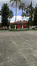
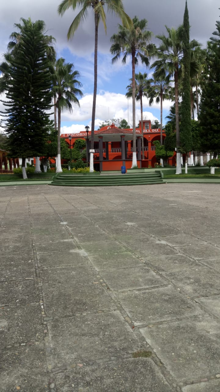
Stroll the plaza, with its kiosk and palm trees.
Climb Cumbre de los Magueyes or Cueva Negra with someone from town.
Go down to Santa Rosa Matagallinas, about 2.5 km to the west.
Plan your trip
Places to stay in Santa María Sola
Compare hotels, posadas, and rentals in and around Santa María Sola.
Tours & activities
Day trips around Juquila sometimes stop in Santa María Sola; a tour is the easy way to see it without a car.
Rental cars
Pick up a car at PXM (Puerto Escondido): about 1 h 22 min by road to Juquila, then 47 km more to Santa María Sola, on your own schedule.
Flights
The nearest airport with scheduled flights is Puerto Escondido (PXM), about 1 h 22 min by road from Juquila, the base for Santa María Sola.
Mobile data
Signal can drop away from Juquila: download a map of the way to Santa María Sola before you set out, or carry an eSIM with data.
Links open a partner site. We may earn a commission if you book, at no cost to you.
When to go to Santa María Sola mild
Santa María Sola shares the climate of Juquila, 47 km away. The best months to visit are January, February, March, and December.
See the month-by-month climate of Juquila
Weather in Santa María Sola now and the next 7 days
Live forecast from Open-Meteo. Chance of rain is the day's highest.
The closest Pueblo Mágico: Juquila

Juquila is the Pueblo Mágico closest to Santa María Sola, with places to stay, food, and more to see.
Also close to
- Mitla · Oaxaca · 79 km away
Closest to Santa María Sola
-
Villa Sola de Vega · Town · 6 km away
-
San Sebastián de las Grutas · Village · 9 km away
-
San Andrés Zabache · Town · 17 km away
-
La Pe · Town · 24 km away
-
San Pedro Juchatengo · Town · 26 km away
-
Taniche · Town · 28 km away
-
San Miguel Ejutla · Village · 29 km away
-
Santa Cruz Mixtepec · Town · 29 km away
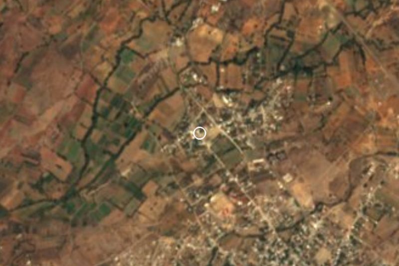

Near Santa María Sola


Drive times by road from OpenStreetMap, without traffic. Times marked ~ are estimated from the straight-line distance.
Location from OpenStreetMap. Written by Puebloteca.