

Town Santa Cruz Mixtepec, Oaxaca Central Valleys of Oaxaca
Mountain town south of Zimatlán at 1,580 m, with a church dating from 1557, a cave with rock paintings, bathing spots and mezcal agave.
From Oaxaca: 50 min by car (46 km by road) How to get there ↓
Near here
See everything nearby ↓


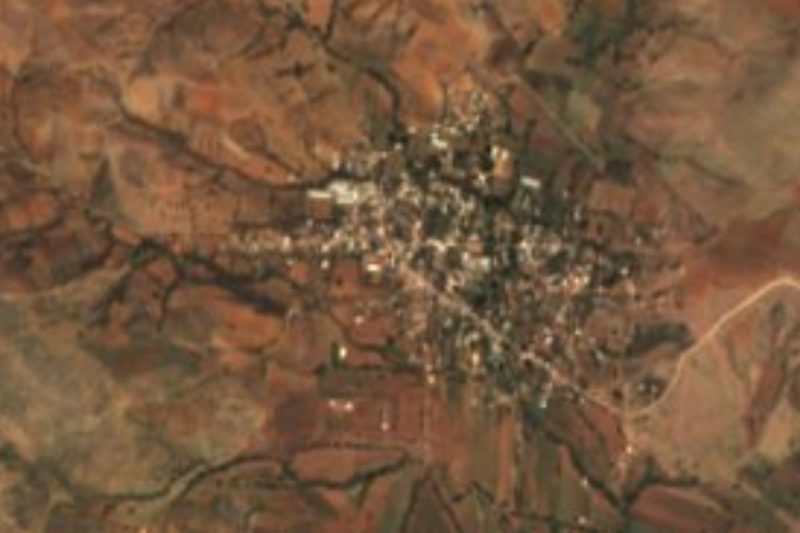
Plan your visit to Santa Cruz Mixtepec
Where to stay near Santa Cruz Mixtepec
Compare hotels, posadas and guest houses in Santa Cruz Mixtepec.
Tours to Santa Cruz Mixtepec
Day trips around Mitla sometimes stop in Santa Cruz Mixtepec; a tour is the easy way to see it without a car.
 Tours from Oaxaca City
Hierve el Agua 2.5 hours, Mitla, Tule, Rugs and Mezcal for a Day
★ 4.9 (1,558) · From US$70
How to get to Santa Cruz Mixtepec
- From Oaxaca: about 50 min by road (~46 km)
- Nearest airport: Oaxaca (OAX), 47 min by car to Mitla
Links open a partner site. We may earn a commission if you book, at no cost to you.
Tours from Oaxaca City, near Santa Cruz Mixtepec


Tours, prices and ratings from Viator, checked weekly. We may earn a commission if you book.
About Santa Cruz Mixtepec
When the Cerro de la Cruz fills with people on the Monday of the hill, the calenda of Santa Cruz Mixtepec comes down the cobbled streets: it is the fiesta with which the town joins the Guelaguetza. The church, built by Dominicans as a mission, dates from 1557 and keeps oil paintings and colonial altarpieces under protection, though it has been under reconstruction. At 1,581 metres, among ravines and rolling hills of the Sierra Madre del Sur, the town takes its name from the Holy Cross and from a Nahuatl word usually read as "hill among clouds".
The first inhabitants are thought to have lived on a hill to the northwest, where a cave holds rock paintings, tools and tombs; the highest peak, Cerro de los Ocotes, reaches 2,200 m, with oaks on the upper slopes. For a swim there are two bathing spots, Los Sabinos and El Trapiche. People grow maize, beans and agave for mezcal, raise livestock and poultry, and a good share of income comes from relatives working abroad; medicinal plants are also gathered. On 1 and 2 November the cemetery fills with offerings in a Day of the Dead compared to Míxquic's.
The locality had 1,370 inhabitants in 2020 (1,338 in 2010); the municipality, with 12 localities, 3,615. The climate is pleasant, averaging about 19 °C, and 61% of homes had a mobile phone in 2020. Village streets are paved. No lodging is registered: the nearest is a posada in San Bernardo Mixtepec, about 6 km away, and the area has taquerías and small fondas.
How to get to Santa Cruz Mixtepec
Drive from Oaxaca: 50 min, 46 km
From Oaxaca city head south through the Zimatlán de Álvarez area and on toward San Bernardo Mixtepec; the only road links Santa Cruz with San Bernardo Mixtepec and San Pedro el Rincón de Tlapacoyan, and continuing south it reaches Sola de Vega. It is about 34 km from Oaxaca in a straight line and more by road: allow roughly 1 hour by car (approx.). Buses run periodically between San Bernardo Mixtepec and Oaxaca city, and the town has a taxi stand; We found no line name, published timetable or departure terminal in Oaxaca, so ask at the Central de Abastos or in Zimatlán. Streets in town are paved. Mitla is about 57 km away in a straight line, but there is no direct link: you go back through Oaxaca.
Directions to Santa Cruz Mixtepec on Google Maps
Distances are in a straight line; the road is usually longer.
Links open a partner site. We may earn a commission if you book, at no cost to you.
From the nearest cities to Santa Cruz Mixtepec
- Oaxaca · 46 km by road, 50 min
- Huajuapan de León · 216 km by road, 3 h 5 min
- Tuxtepec · about 215 km by road, ~3 h 10 min
Drive times by road from OpenStreetMap, without traffic or stops. Times marked ~ are estimated from the straight-line distance.
Before you go to Santa Cruz Mixtepec: hours, prices and tips
- Best season
- Day of the Dead is observed in the cemetery on 1 to 3 November, and the calenda of the Monday of the hill is tied to the Guelaguetza. Wikipedia (es), Santa Cruz Mixtepec · checked Oct 2026
Hours and prices change, especially around holidays. Each fact links to where we checked it.
Visiting Santa Cruz Mixtepec: what to see and do
Step into the 1557 church and look at its colonial altarpieces and paintings.
Climb Cerro de la Cruz for the view and the Monday of the hill.
Ask about the cave with rock paintings on the hill to the northwest.
Cool off at the Los Sabinos or El Trapiche bathing spots.
Come on 1 and 2 November for Day of the Dead in the cemetery.
Try mezcal from local agave.
Plan your trip
Places to stay in Santa Cruz Mixtepec
Compare hotels, posadas, and rentals in and around Santa Cruz Mixtepec.
Tours & activities
Day trips around Mitla sometimes stop in Santa Cruz Mixtepec; a tour is the easy way to see it without a car.
Rental cars
Pick up a car at OAX (Oaxaca): about 47 min by road to Mitla, then 57 km more to Santa Cruz Mixtepec, on your own schedule.
Flights
The nearest airport with scheduled flights is Oaxaca (OAX), about 47 min by road from Mitla, the base for Santa Cruz Mixtepec.
Mobile data
Signal can drop away from Mitla: download a map of the way to Santa Cruz Mixtepec before you set out, or carry an eSIM with data.
Links open a partner site. We may earn a commission if you book, at no cost to you.
When to go to Santa Cruz Mixtepec mild
Santa Cruz Mixtepec shares the climate of Mitla, 57 km away. The best months to visit are January, February, March, and December.
See the month-by-month climate of Mitla
Weather in Santa Cruz Mixtepec now and the next 7 days
Live forecast from Open-Meteo. Chance of rain is the day's highest.
The closest Pueblo Mágico: Mitla

Mitla is the Pueblo Mágico closest to Santa Cruz Mixtepec, with places to stay, food, and more to see.
Also close to
- Capulálpam de Méndez · Oaxaca · 73 km away
- Juquila · Oaxaca · 76 km away
Closest to Santa Cruz Mixtepec
-
San Pablo Huixtepec · Town · 11 km away
-
San Nicolás Quialana · Town · 13 km away
-
Santa Inés Yatzeche · Town · 14 km away
-
Zimatlán de Álvarez · Town · 14 km away
-
Santa Ana Zegache · Town · 17 km away
-
La Pe · Town · 20 km away
-
San Sebastián de las Grutas · Village · 20 km away
-
San Antonino Castillo Velasco · Town · 21 km away
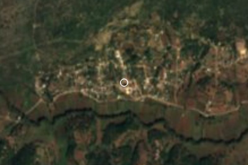

Near Santa Cruz Mixtepec


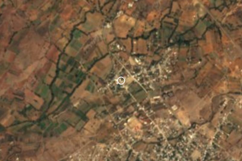
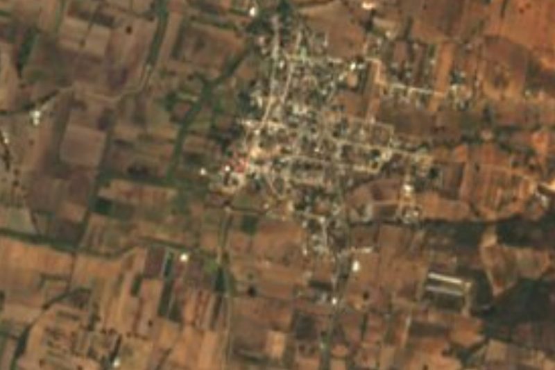

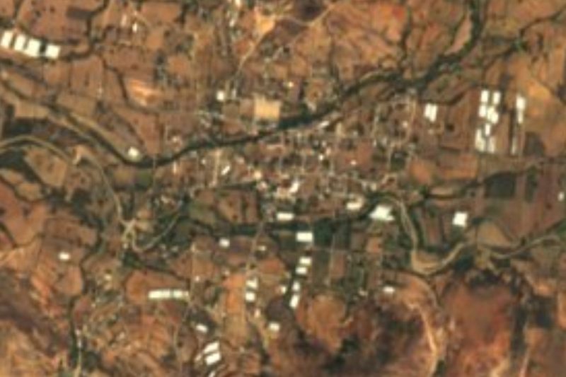


Drive times by road from OpenStreetMap, without traffic. Times marked ~ are estimated from the straight-line distance.
Location from OpenStreetMap. Written by Puebloteca.