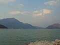
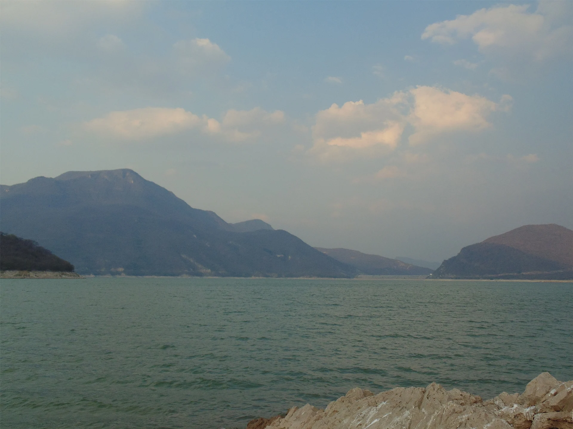
Lake Santa María Jalapa del Marqués, Oaxaca Isthmus of Tehuantepec
A 1961 reservoir at Jalapa del Marqués that drowned the old town; in droughts its 16th-century Dominican church rises from the water.
From Salina Cruz: 1 h 15 min by car (67 km by road) How to get there ↓
Near here
See everything nearby ↓

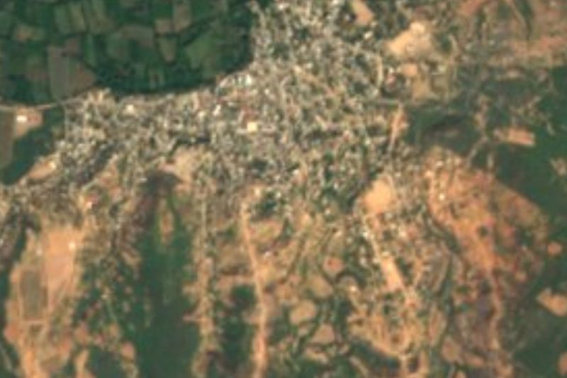


Plan your visit to Presa Presidente Benito Juárez
Where to stay near Presa Presidente Benito Juárez
Compare hotels, posadas and guest houses in Presa Presidente Benito Juárez.
Tours to Presa Presidente Benito Juárez
Day trips and guided outings from Oaxaca often include Presa Presidente Benito Juárez; with a local guide you can get there without a car.
How to get to Presa Presidente Benito Juárez
- From Salina Cruz: about 1 h 15 min by road (~67 km)
Links open a partner site. We may earn a commission if you book, at no cost to you.
About Presa Presidente Benito Juárez
The Presidente Benito Juárez Dam, also known as El Marqués, holds back the Tehuantepec and Tequisistlán rivers on the Isthmus, next to Santa María Jalapa del Marqués. President Adolfo López Mateos opened it on 1 January 1961, and when the basin filled in 1962 with 947 million cubic metres of water it drowned the original town, founded around 1480. Its people were moved to the side of the Cristóbal Colón federal highway, where Jalapa stands today. The dam was meant to irrigate some 57,000 hectares across nine municipalities around Tehuantepec and Juchitán, Irrigation District 019, set up in November 1962, though it has never reached that target.
The cemetery, schools, market and homes of what is now called Jalapa Viejo went under. Only the church of the Assumption, built by Dominican friars between 1550 and 1600 and counted among the finest in the Zapotec region, still stands. When the water drops, its two domes appear first, then the columned walls and finally the entrance arches. The full facade was first seen in the 1985 drought and came back in 2008, 2017 and 2024; its mural paintings are now scattered among INAH museums and storerooms.
The reservoir is a fishery too: about a thousand Jalapa fishermen, in cooperatives or on their own, catch tilapia, and the reservoir's mojarra is a big part of what draws visitors to eat in town. In droughts, when the catch is poor, some of them take visitors out to the church.
How to get to Presa Presidente Benito Juárez
Drive from Salina Cruz: 1 h 15 min, 67 km
Jalapa del Marqués is on Federal Highway 190 (the Pan-American, or Cristóbal Colón, highway) between Oaxaca and Tehuantepec. From Oaxaca it is about 220 km, some 3 hours 15 minutes by car. From Tehuantepec it is about 30 km back up Highway 190 toward Oaxaca, around half an hour; Transportes Tehuanos del Istmo runs buses from Tehuantepec to Jalapa every 30 minutes, taking about 40 minutes. From the new town, head down to the reservoir shore. The church shows best in the dry season, especially around March, when the water is lowest. Mitla is about 108 km away in a straight line, roughly 2.5 hours by road.
Directions to Presa Presidente Benito Juárez on Google Maps
Distances are in a straight line; the road is usually longer.
Links open a partner site. We may earn a commission if you book, at no cost to you.
From the nearest cities to Presa Presidente Benito Juárez
- Salina Cruz · 67 km by road, 1 h 15 min
- Juchitán · 78 km by road, 1 h 25 min
- Oaxaca · 223 km by road, 3 h 30 min
Drive times by road from OpenStreetMap, without traffic or stops. Times marked ~ are estimated from the straight-line distance.
Before you go to Presa Presidente Benito Juárez: hours, prices and tips
- Best time of day
- The dry season, when the water level falls; in drought years the church is fully exposed around March. México Desconocido · checked Oct 2026
Hours and prices change, especially around holidays. Each fact links to where we checked it.
Visiting Presa Presidente Benito Juárez: what to see and do
Look for the domes of the church of the Assumption above the water.
If the level is low, go out with a fisherman to the church's walls and arches.
Walk the shore where Jalapa Viejo stood.
Try the reservoir's tilapia in Jalapa del Marqués.
Take in the dam and the reservoir among the hills of the Isthmus.
Plan your trip
Places to stay in Presa Presidente Benito Juárez
Compare hotels, posadas, and rentals in and around Presa Presidente Benito Juárez.
Tours & activities
Day trips and guided outings from Oaxaca often include Presa Presidente Benito Juárez; with a local guide you can get there without a car.
Travel insurance
If you plan on swimming or kayaking at Presa Presidente Benito Juárez, check that your policy covers it: some plans leave adventure activities out.
Mobile data
Signal can drop away from Oaxaca: download a map of the way to Presa Presidente Benito Juárez before you set out, or carry an eSIM with data.
Links open a partner site. We may earn a commission if you book, at no cost to you.
Closest to Presa Presidente Benito Juárez
-
Santa María Jalapa del Marqués · Town · 5 km away
-
Guiengola · Archaeological site · 18 km away
-
Magdalena Tequisistlán · Town · 19 km away
-
Magdalena Tlacotepec · Town · 27 km away
-
Santo Domingo Tehuantepec · Town · 30 km away
-
Guevea de Humboldt · Town · 35 km away
-
Ciudad Ixtepec · Town · 39 km away
-
San Miguel Ecatepec · Village · 41 km away


Near Presa Presidente Benito Juárez


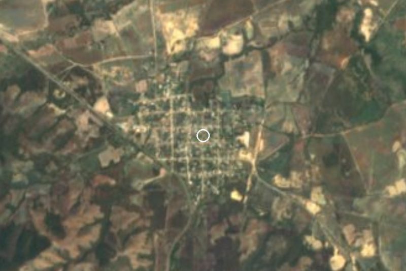
Drive times by road from OpenStreetMap, without traffic. Times marked ~ are estimated from the straight-line distance.
Lists with Presa Presidente Benito Juárez
Lakes and Lagoons in Oaxaca · 5Location from OpenStreetMap. Written by Puebloteca.