Village Juchitán de Zaragoza, Oaxaca Municipality of Juchitán de Zaragoza Isthmus of Tehuantepec
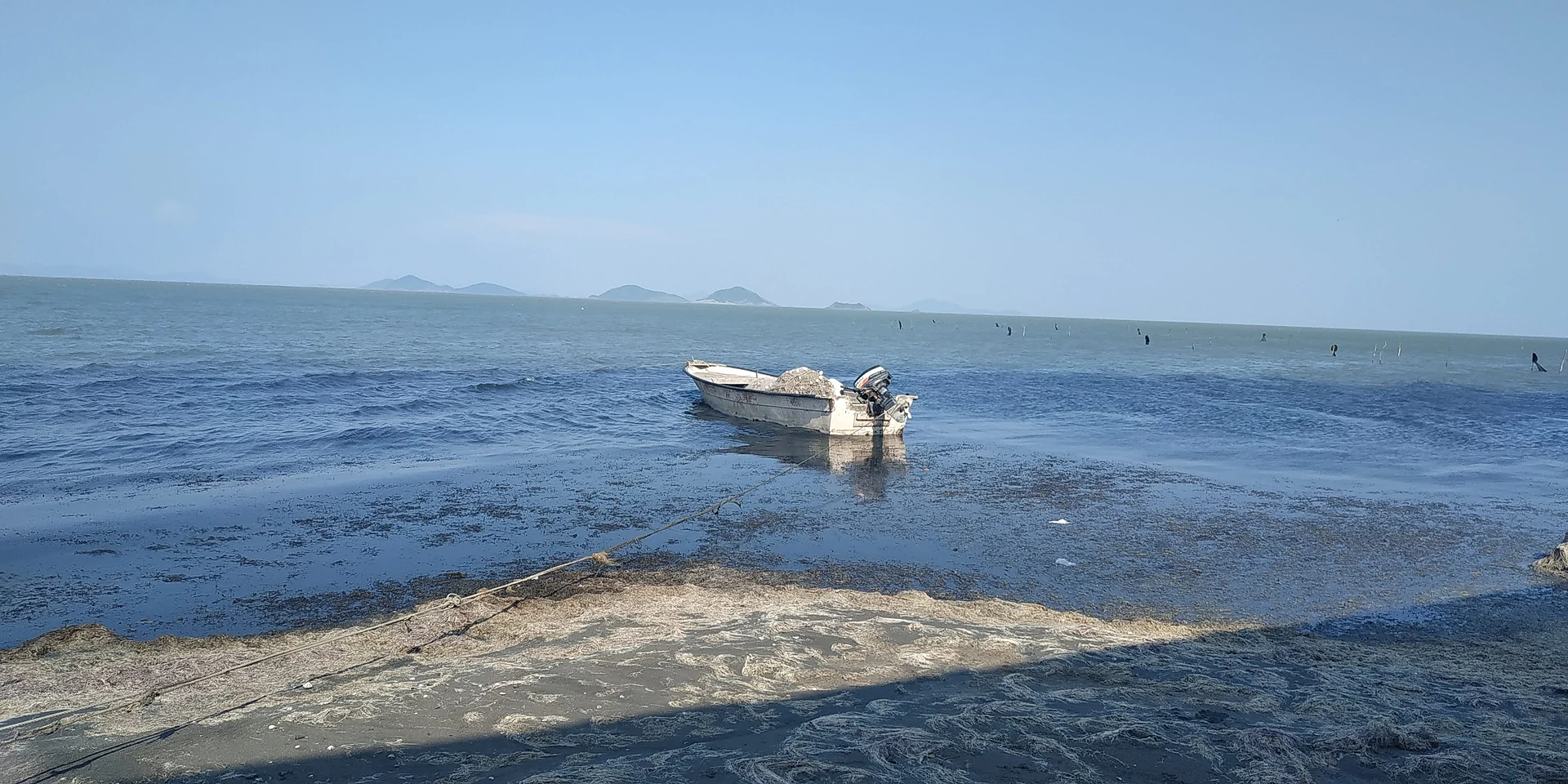
Fishing agency of Juchitán on the Laguna Superior, 2 m above sea level: fishermen, fried mojarra and a shore that flooded in 2010.
From Juchitán: 25 min by car (12 km by road) How to get there ↓
Near here
See everything nearby ↓



Plan your visit to Playa San Vicente
Where to stay near Playa San Vicente
Compare hotels, posadas and guest houses in Playa San Vicente.
Tours to Playa San Vicente
Day trips and guided outings from Oaxaca often include Playa San Vicente; with a local guide you can get there without a car.
How to get to Playa San Vicente
- From Juchitán: about 25 min by road (~12 km)
Links open a partner site. We may earn a commission if you book, at no cost to you.
About Playa San Vicente
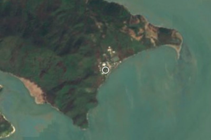
Playa San Vicente, also called Playa Vicente, is a municipal agency of Juchitán de Zaragoza in the Isthmus of Tehuantepec, about 9 km from the city. It lies 2 m above sea level on the shore of the Laguna Superior, one of the two coastal lagoons of the Gulf of Tehuantepec, which locals call the Mar Muerto. In 2020 it had 255 residents, more than double the 2010 count (126), in about 67 homes.
Life here revolves around fishing. Some 350 fishermen, independent and from the Che Cata and Jaiberos cooperatives, and about 50 restaurant owners joined a request for help when seaweed (sargassum) invaded the shore. People fish at night from small boats, setting nets in the late afternoon and hauling them later; in peak season catches of 60 to 70 kg a day of catfish, mojarra, urbina, snapper, snook and pez mapache have been reported. That catch supplies the palm-roofed restaurants, which serve fried mojarra and grilled fish.
The lagoon can also turn on the village. In July 2010 continuous rain and a blocked lagoon mouth at San Francisco del Mar raised the water and flooded the community. After the September 2017 earthquake the water pushed about 20 m inland and palapas were destroyed; fishing stopped for a few days. On stormy afternoons stay out of the water: lightning has killed a fisherman on this beach.
It suits anyone who wants a close look at the lagoon and fresh fish, not hotel tourism: no lodging is listed here and the nearest town with hotels is Juchitán. Wind farms stand nearby and their turbines are visible from the shore.
How to get to Playa San Vicente
Drive from Juchitán: 25 min, 12 km
Playa San Vicente is about 9 km southeast of Juchitán de Zaragoza, reached from Juchitán by a dirt road. Juchitán lies on federal highway 190 (the Pan-American), so the first step is to reach Juchitán by bus or car from Oaxaca, Tehuantepec or elsewhere in the Isthmus. We found no published bus or colectivo timetable to the beach; the safest approach is to ask in Juchitán for a taxi or for transport to the lagoon communities. By car, the dirt stretch can turn difficult in the rains, so ask about its condition before leaving. Other nearby beaches, such as Guelayina (11 km, about 13 minutes) and Salinas (18 km, about 25 minutes), give a sense of the distances.
Directions to Playa San Vicente on Google Maps
Distances are in a straight line; the road is usually longer.
Links open a partner site. We may earn a commission if you book, at no cost to you.
From the nearest cities to Playa San Vicente
- Juchitán · 12 km by road, 25 min
- Salina Cruz · 56 km by road, 1 h 10 min
- Minatitlán · 244 km by road, 3 h 30 min
Drive times by road from OpenStreetMap, without traffic or stops. Times marked ~ are estimated from the straight-line distance.
Before you go to Playa San Vicente: hours, prices and tips
- Best time of day
- Calm mornings, and away from stormy afternoons: lightning has struck fishermen on the beach. N+ (nmas.com.mx) · checked Oct 2026
Hours and prices change, especially around holidays. Each fact links to where we checked it.
Visiting Playa San Vicente: what to see and do
Watch the lagoon at sunset, with hills on the far shore.
Eat fried mojarra or grilled fish at a palm-roofed restaurant.
See the fishermen's boats head out in the afternoon.
Ask for the Che Cata and Jaiberos cooperatives if you want fresh fish.
Spot the wind-farm turbines from the shore.
Plan your trip
Places to stay in Playa San Vicente
Compare hotels, posadas, and rentals in and around Playa San Vicente.
Tours & activities
Day trips and guided outings from Oaxaca often include Playa San Vicente; with a local guide you can get there without a car.
Mobile data
Signal can drop away from Oaxaca: download a map of the way to Playa San Vicente before you set out, or carry an eSIM with data.
Links open a partner site. We may earn a commission if you book, at no cost to you.
Closest to Playa San Vicente
-
Laguna Superior · Lagoon · 8 km away
-
Juchitán de Zaragoza · City · 10 km away
-
El Espinal · Town · 15 km away
-
Asunción Ixtaltepec · Town · 18 km away
-
San Dionisio Pueblo Viejo · Village · 18 km away
-
Unión Hidalgo · Town · 18 km away
-
La Ventosa · Town · 21 km away
-
San Dionisio del Mar · Town · 22 km away


Near Playa San Vicente


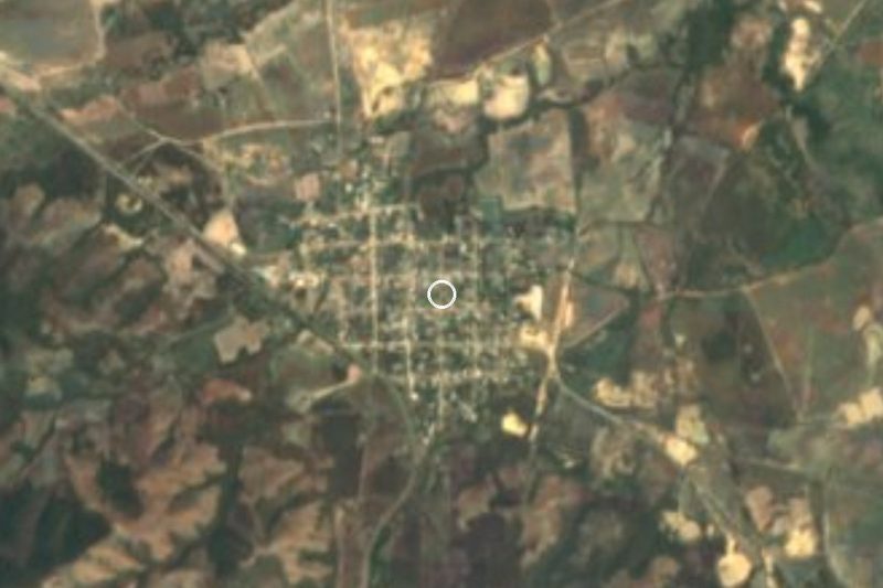


Drive times by road from OpenStreetMap, without traffic. Times marked ~ are estimated from the straight-line distance.
Location from OpenStreetMap. Written by Puebloteca.