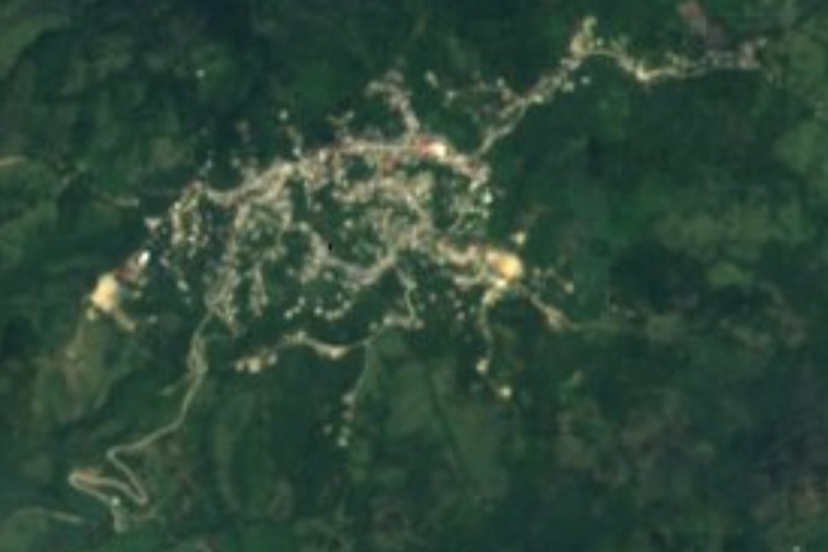
Town Santa María Chimalapa, Oaxaca Isthmus of Tehuantepec
Zoque seat of Oaxaca's largest municipality, inside the Chimalapas forest beside Chiapas and Veracruz. There is no organised tourism here.
From Juchitán: 1 h 35 min by car (89 km by road) How to get there ↓
Near here
See everything nearby ↓

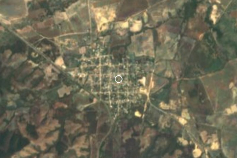

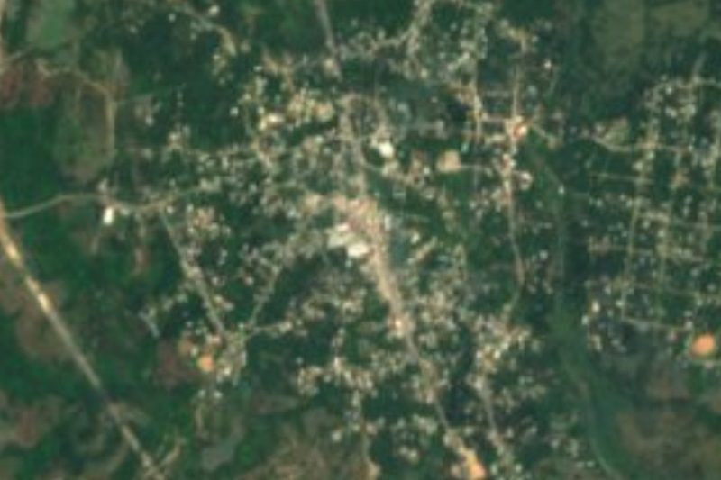
Plan your visit to Santa María Chimalapa
Where to stay near Santa María Chimalapa
Compare hotels, posadas and guest houses in Santa María Chimalapa.
Tours to Santa María Chimalapa
Day trips around Oaxaca sometimes stop in Santa María Chimalapa; a tour is the easy way to see it without a car.
How to get to Santa María Chimalapa
- From Juchitán: about 1 h 35 min by road (~89 km)
Links open a partner site. We may earn a commission if you book, at no cost to you.
About Santa María Chimalapa
"Golden gourd bowl": that is what Chimalapa means in the Zoque language, and the name is attached to one of the largest and best-preserved forests in the country. Santa María is the seat of the municipality, in the far east of Oaxaca, in the Isthmus region and the Juchitán district. Its 2,516 inhabitants (2020 census) live in territory where the Zoque people are the majority in the seat and Chimalapa Zoque is spoken; the town council is chosen by customary law.
The municipality is huge and almost empty: about 4,500 km², the largest in the state, with 55 localities and 9,578 people in all, barely two per square kilometre. The biggest localities after the seat are San Francisco la Paz (819) and La Esperanza (775). It borders Matías Romero Avendaño to the west, Veracruz to the north and Chiapas to the east, where the boundary is still disputed. The climate runs from 14 to 26 °C with 1,000 to 3,500 mm of rain a year, and the forest holds cedar, mahogany, ceiba and pine, with jaguar, deer and toucan. The town's water comes from the El Corte river, which runs down from the Zoque forest.
Local life turns on maize, beans, coffee and sugar cane, with some cattle and poultry and a sawmill that produces fine wood. Roads and schools are few. This is not a set-up destination for visitors: people who come usually do so for fieldwork, family or conservation projects, and it is wise to introduce yourself to the communal authorities before going into the forest.
How to get to Santa María Chimalapa
Drive from Juchitán: 1 h 35 min, 89 km
Santa María Chimalapa is in the far east of Oaxaca, inside the Chimalapas forest. The reference city is Matías Romero Avendaño, in the Isthmus, which borders the municipality on the west; from there you follow rural roads east. We could not find a published bus timetable, the name of a bus line or colectivo, or the road's condition (paved or dirt), and phone signal may drop out in the forest.
The realistic way is to reach Matías Romero first (from the city of Oaxaca, or from Salina Cruz and Ciudad Ixtepec in the Isthmus) and ask there for local transport toward Santa María, or to contact the town hall beforehand. Count on a full day from Oaxaca. Inside the municipality distances are long and roads are few.
Directions to Santa María Chimalapa on Google Maps
Distances are in a straight line; the road is usually longer.
Links open a partner site. We may earn a commission if you book, at no cost to you.
From the nearest cities to Santa María Chimalapa
- Juchitán · 89 km by road, 1 h 35 min
- Salina Cruz · 131 km by road, 2 h 15 min
- Coatzacoalcos · about 180 km by road, ~2 h 40 min
Drive times by road from OpenStreetMap, without traffic or stops. Times marked ~ are estimated from the straight-line distance.
Visiting Santa María Chimalapa: what to see and do
Walk the town and its plaza to see Zoque life in the Isthmus.
Ask the authorities about the trail to the El Corte river.
Look at the edge of the Zoque forest: cedar, mahogany and ceiba.
Talk with the comuneros about the territory and its defence.
Bring water, repellent and boots: the climate is hot and humid.
Plan your trip
Places to stay in Santa María Chimalapa
Compare hotels, posadas, and rentals in and around Santa María Chimalapa.
Tours & activities
Day trips around Oaxaca sometimes stop in Santa María Chimalapa; a tour is the easy way to see it without a car.
Mobile data
Signal can drop away from Oaxaca: download a map of the way to Santa María Chimalapa before you set out, or carry an eSIM with data.
Links open a partner site. We may earn a commission if you book, at no cost to you.
Closest to Santa María Chimalapa
-
Matías Romero · Town · 38 km away
-
Estación Mogoñé · Town · 39 km away
-
Chivela · Village · 40 km away
-
La Ventosa · Town · 48 km away
-
Palomares · Town · 48 km away
Near Santa María Chimalapa


Drive times by road from OpenStreetMap, without traffic. Times marked ~ are estimated from the straight-line distance.
Location from OpenStreetMap. Written by Puebloteca.