Village Tierra Blanca, Veracruz Municipality of Tierra Blanca Veracruz port and the Sotavento
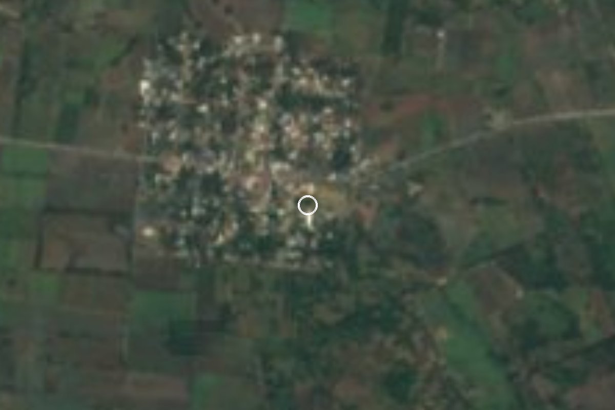
Tierra Blanca village on the Papaloapan plain, about 7 km off Highway 145 near the La Tinaja junction; its Nahuatl name refers to scorpions.
From Córdoba: 1 h 5 min by car (76 km by road) How to get there ↓
Near here
See everything nearby ↓




Plan your visit to Huixcolotla
Where to stay near Huixcolotla
Compare hotels, posadas and guest houses in Huixcolotla.
Tours to Huixcolotla
Day trips and guided outings from Córdoba often include Huixcolotla; with a local guide you can get there without a car.
 Tours from Veracruz
Private Sunrise Taj Mahal Tour from Delhi By Car -All inclusive
★ 5.0 (549) · From US$14
How to get to Huixcolotla
- From Córdoba: about 1 h 5 min by road (~76 km)
- Nearest airport: Veracruz (VER), 1 h 25 min by car to Córdoba
Links open a partner site. We may earn a commission if you book, at no cost to you.
Tours from Veracruz, near Huixcolotla


Tours, prices and ratings from Viator, checked weekly. We may earn a commission if you book.
About Huixcolotla
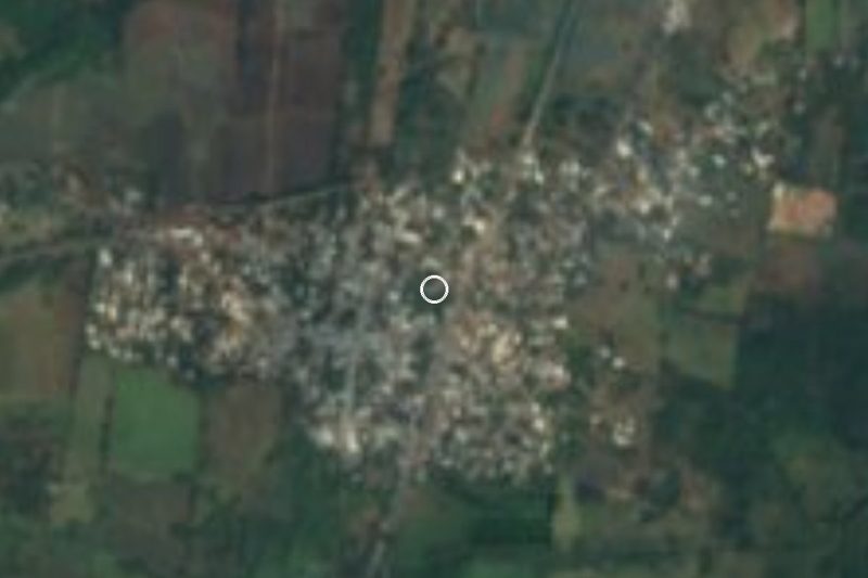
Huixcolotla lies in the north of the municipality of Tierra Blanca, about 28 km north-north-west of the municipal seat, on low ground in the Papaloapan basin at 133 metres above sea level. It is one of the larger communities in a municipality of more than 500 localities: the 2020 census counted 1,521 people, fourth in size, and it has been growing (it had 1,172 in 2005).
The name is Nahuatl, built from huitztli (thorn) and cólotl (scorpion) plus the place suffix tlan. It is usually read as "place where scorpion stings abound" or simply "where there are many scorpions". People from here are called huixcolotecos.
The setting is the Sotavento lowlands: hot country averaging close to 25 °C, with sugar cane, rice and cattle pasture, the mainstays of the municipal economy. Tierra Blanca, the seat, grew up as a railway town and holds its fair in December, and the municipality also contains the Nopiloa archaeological site. In Huixcolotla itself the main street, Avenida 16 de Septiembre, is paved. Nearly nine in ten homes have a mobile phone, but only about one in four has internet.
How to get to Huixcolotla
Drive from Córdoba: 1 h 5 min, 76 km
Huixcolotla is about 7 km west of Federal Highway 145 (La Tinaja-Tierra Blanca), along a local road that leaves the highway some 11 km south of the La Tinaja junction. From Tierra Blanca it is about 34 km, roughly 40 minutes: head north on Highway 145 towards La Tinaja and take the turn-off. From Córdoba it is about 76 km, around 65 minutes, on the 150D toll road to La Tinaja and then south on Highway 145. From Veracruz port it is about 83 km, some 70 minutes, also on the 150D. Long-distance bus travellers can get off at the ADO terminal in Veracruz port and continue by road; we found no published timetable for local transport to Huixcolotla itself, so ask in Tierra Blanca or La Tinaja.
Directions to Huixcolotla on Google Maps
Distances are in a straight line; the road is usually longer.
Links open a partner site. We may earn a commission if you book, at no cost to you.
From the nearest cities to Huixcolotla
- Córdoba · 76 km by road, 1 h 5 min
- Veracruz · 83 km by road, 1 h 10 min
- Orizaba · 98 km by road, 1 h 20 min
Drive times by road from OpenStreetMap, without traffic or stops. Times marked ~ are estimated from the straight-line distance.
Visiting Huixcolotla: what to see and do
Avenida 16 de Septiembre, the village's main street.
The sugar cane and rice fields of the Papaloapan plain.
Tierra Blanca, the municipal seat, with its December fair, about 34 km away.
The Nopiloa archaeological site, within Tierra Blanca municipality.
Plan your trip
Places to stay in Huixcolotla
Compare hotels, posadas, and rentals in and around Huixcolotla.
Tours & activities
Day trips and guided outings from Córdoba often include Huixcolotla; with a local guide you can get there without a car.
Rental cars
Pick up a car at VER (Veracruz): about 1 h 25 min by road to Córdoba, then 53 km more to Huixcolotla, on your own schedule.
Flights
The nearest airport with scheduled flights is Veracruz (VER), about 1 h 25 min by road from Córdoba, the base for Huixcolotla.
Mobile data
Signal can drop away from Córdoba: download a map of the way to Huixcolotla before you set out, or carry an eSIM with data.
Links open a partner site. We may earn a commission if you book, at no cost to you.
When to go to Huixcolotla mild
Huixcolotla shares the climate of Córdoba, 53 km away. The best months to visit are February, March, April, and December.
See the month-by-month climate of Córdoba
Weather in Huixcolotla now and the next 7 days
Live forecast from Open-Meteo. Chance of rain is the day's highest.
The closest Pueblo Mágico: Córdoba

Córdoba is the Pueblo Mágico closest to Huixcolotla, with places to stay, food, and more to see.
Also close to
- Orizaba · Veracruz · 67 km away
- Huautla · Oaxaca · 70 km away
- Coscomatepec · Veracruz · 74 km away
Closest to Huixcolotla
-
La Tinaja · Village · 11 km away
-
Acatlán de Pérez Figueroa · Town · 18 km away
-
Motzorongo · Village · 25 km away
-
Joachín · Village · 28 km away
-
Tierra Blanca · Town · 28 km away
-
Yanga · Town · 37 km away
-
Cascada de Atoyac · Waterfall · 40 km away
-
La Granja · Village · 43 km away


Near Huixcolotla



Drive times by road from OpenStreetMap, without traffic. Times marked ~ are estimated from the straight-line distance.
Location from OpenStreetMap. Written by Puebloteca.