Village Tezonapa, Veracruz Altas Montañas (Orizaba and Córdoba)
A sugarcane village in Tezonapa that grew from Carlos Pacheco's Porfirian hacienda, with its own railway and a past as an American plantation.
From Córdoba: 45 min by car (46 km by road) How to get there ↓
Near here
See everything nearby ↓




Plan your visit to Motzorongo
Where to stay near Motzorongo
Compare hotels, posadas and guest houses in Motzorongo.
Tours to Motzorongo
Day trips and guided outings from Córdoba often include Motzorongo; with a local guide you can get there without a car.
How to get to Motzorongo
- From Córdoba: about 45 min by road (~46 km)
- Nearest airport: Veracruz (VER), 1 h 25 min by car to Córdoba
Links open a partner site. We may earn a commission if you book, at no cost to you.
About Motzorongo
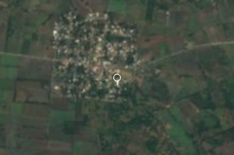
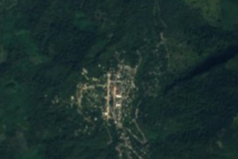
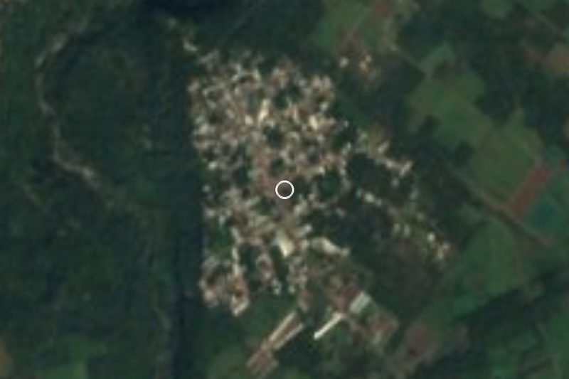
Motzorongo belongs to the municipality of Tezonapa, at the southern end of Veracruz's Altas Montañas region, about 7 km from the municipal seat and roughly 45 km by road from Córdoba. With around 4,000 people it is one of the largest communities in the municipality. Despite belonging to the mountain region it lies low, with a hot, humid climate all year, ringed by hills of evergreen forest, cedar and fruit trees such as mango, sapodilla, mamey and citrus. The name comes from Nahuatl motzolonco, usually translated as "place where the ravine comes together".
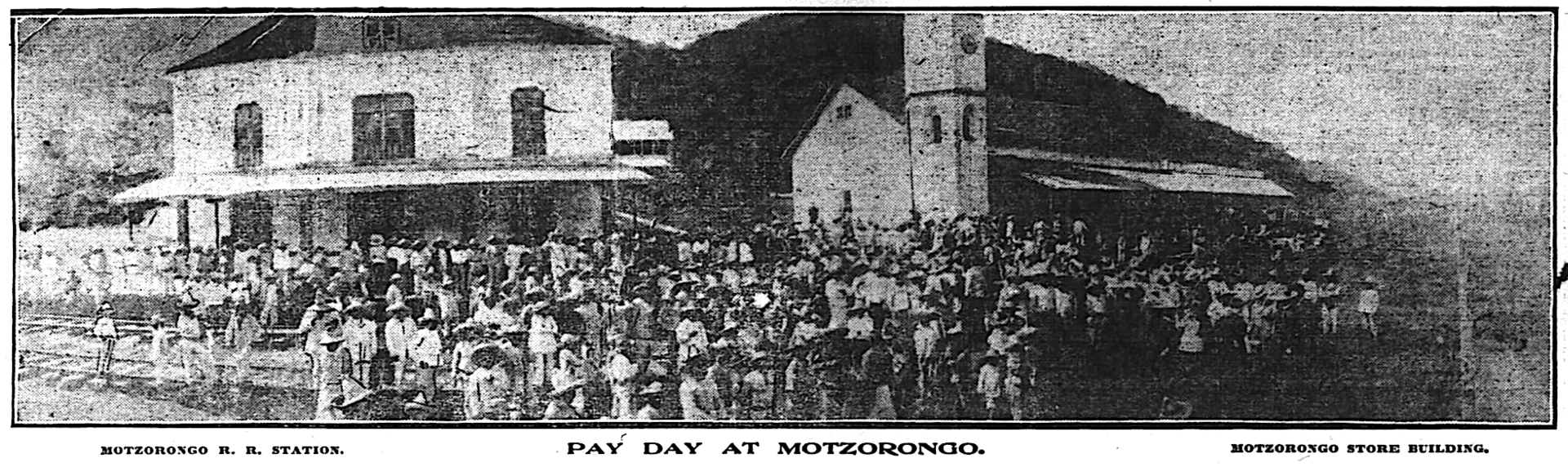
Its story begins with the hacienda built here by Carlos Pacheco, Porfirio Díaz's minister of development, on land that had been the low-lying eastern part of Zongolica. In 1888 the estate began planting ramie, a fibre the government hoped would rival henequen. To move the harvest, the so-called Agricultural Railway was laid from Córdoba: 46 km of track that reached Motzorongo in 1895 and was bought by the federal government in 1899. The sugar mill ran its first harvest in 1897, and by 1898 the estate had a sugar works, a distillery, a steam sawmill, a power plant and a 52-room hotel; senior Porfirian officials reportedly came to hunt in the surrounding hills.
In 1903 Pacheco's heirs sold the Motzorongo and Las Josefinas estates to a Chicago firm, the Motzorongo Company, promoted by Canadian psychologist Herbert A. Parkyn as an investors' cooperative. Its holdings reached some 360,000 acres, then the largest American-controlled farm property in Mexico. In April 1914 the plantation made international headlines when false reports claimed that Huerta's troops had shot about twenty of its American staff. Sugarcane still sets the rhythm: each May, when the harvest ends, the municipality holds the Feria de la Caña, with a festival queen, rodeo riding and horse races.
How to get to Motzorongo
Drive from Córdoba: 45 min, 46 km
From Córdoba it is about 46 km and 50 minutes: leave on the Córdoba–Peñuela boulevard, follow Highway 150 east and, near Yanga, take the signposted turn-off for Omealca, which continues as the Córdoba–Tezonapa state road to Motzorongo. From Tezonapa it is about 7 km, under 10 minutes, on the same road. Córdoba is also the nearest Pueblo Mágico and has an ADO terminal with buses to TAPO in Mexico City, CAPU in Puebla and the port of Veracruz; for the last stretch, ask in Córdoba or Tezonapa for local transport along the state road to Motzorongo.
Directions to Motzorongo on Google Maps
Distances are in a straight line; the road is usually longer.
Links open a partner site. We may earn a commission if you book, at no cost to you.
From the nearest cities to Motzorongo
- Córdoba · 46 km by road, 45 min
- Orizaba · 68 km by road, 1 h 5 min
- Veracruz · 124 km by road, 1 h 40 min
Drive times by road from OpenStreetMap, without traffic or stops. Times marked ~ are estimated from the straight-line distance.
Before you go to Motzorongo: hours, prices and tips
- Best season
- Tezonapa's Feria de la Caña is held in May at the end of the cane harvest; Corpus Christi is celebrated on 15 June. Enciclopedia de los Municipios de México (INAFED) · checked Oct 2026
Hours and prices change, especially around holidays. Each fact links to where we checked it.
Visiting Motzorongo: what to see and do
The cane fields and forested hills around the village.
The river and its small native fish, locally called pepescas, colas de gallo and chilehuas.
Orchards of mango, sapodilla, mamey and citrus.
Traces of the old hacienda, sugar mill and Agricultural Railway line.
The Feria de la Caña in May, with rodeo riding and horse races.
Local food: mojarra fish, game dishes and wild greens such as tepejilote.
Plan your trip
Places to stay in Motzorongo
Compare hotels, posadas, and rentals in and around Motzorongo.
Tours & activities
Day trips and guided outings from Córdoba often include Motzorongo; with a local guide you can get there without a car.
Rental cars
Pick up a car at VER (Veracruz): about 1 h 25 min by road to Córdoba, then 35 km more to Motzorongo, on your own schedule.
Flights
The nearest airport with scheduled flights is Veracruz (VER), about 1 h 25 min by road from Córdoba, the base for Motzorongo.
Mobile data
Signal can drop away from Córdoba: download a map of the way to Motzorongo before you set out, or carry an eSIM with data.
Links open a partner site. We may earn a commission if you book, at no cost to you.
When to go to Motzorongo mild
Motzorongo shares the climate of Córdoba, 35 km away. The best months to visit are February, March, April, and December.
See the month-by-month climate of Córdoba
Weather in Motzorongo now and the next 7 days
Live forecast from Open-Meteo. Chance of rain is the day's highest.
The closest Pueblo Mágico: Córdoba

Córdoba is the Pueblo Mágico closest to Motzorongo, with places to stay, food, and more to see.
Also close to
- Orizaba · Veracruz · 46 km away
- Coscomatepec · Veracruz · 58 km away
- Huautla · Oaxaca · 59 km away
Closest to Motzorongo
-
Acatlán de Pérez Figueroa · Town · 18 km away
-
Yanga · Town · 22 km away
-
Coetzapotitla · Village · 25 km away
-
Huixcolotla · Village · 25 km away
-
Sótano de Popocatl · Cave · 27 km away
-
Zongolica · Town · 28 km away
-
Tlacotepec de Porfirio Díaz · Village · 29 km away
-
Ameyalco · Village · 30 km away

Near Motzorongo




Drive times by road from OpenStreetMap, without traffic. Times marked ~ are estimated from the straight-line distance.
Location from OpenStreetMap. Written by Puebloteca.