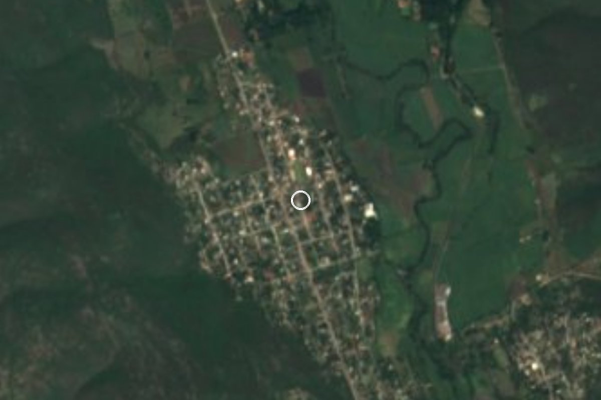
Village Tlaltizapán de Zapata, Morelos Municipality of Tlaltizapán de Zapata Southern Morelos
Village in Tlaltizapán, 4 km from Zapata's headquarters; named after a Zapatista officer, home to about 2,000 people.
From Cuautla: 40 min by car (36 km by road) How to get there ↓
Near here
See everything nearby ↓

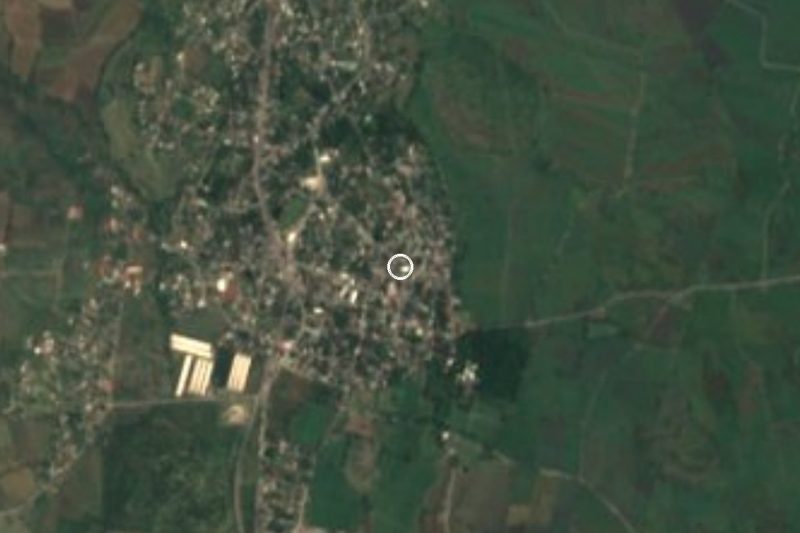
Plan your visit to Bonifacio García
Where to stay near Bonifacio García
Compare hotels, posadas and guest houses in Bonifacio García.
Tours to Bonifacio García
Day trips and guided outings from Tlaltizapán often include Bonifacio García; with a local guide you can get there without a car.
 Tours from Cuernavaca
3hr Cooking Class in Cuernavaca 8 Recipes and Bottomless Drinks
From US$59
How to get to Bonifacio García
- From Cuautla: about 40 min by road (~36 km)
- Nearest airport: Mexico City (MEX), 1 h 55 min by car to Tlaltizapán
Links open a partner site. We may earn a commission if you book, at no cost to you.
Tours from Cuernavaca, near Bonifacio García


Tours, prices and ratings from Viator, checked weekly. We may earn a commission if you book.
About Bonifacio García
Bonifacio García takes its name from Bonifacio García Maldonado, a Morelos-born officer who fought on the Zapatista side in the Revolution, according to Spanish Wikipedia. Wikidata also lists Colonia Alejandra and Alejandra as other names for the same place, without saying when they were used. The village has grown steadily: the 1930 census found only 111 people, 2010 counted 2,151, and in 2020 INEGI recorded 2,013 residents in 626 occupied homes, which makes it one of the five largest of the 83 localities in the municipality of Tlaltizapán de Zapata.
It sits at about 960 m above sea level in hot country. PueblosAmérica gives a warm steppe climate, an annual mean near 23.6 °C and about 188 rainy days a year. Neighbouring settlements almost run into each other: Colonia Palo Prieto (Chipitongo) and Temilpa Nuevo lie about 1.5 km to the southeast, Temilpa Viejo 2.7 km away, and Acamilpa just over 4 km north. The municipal seat, Tlaltizapán, is about 4 km east, and it is where the headquarters of Zapata's Liberation Army of the South is preserved.
This is not a place of monuments, and it is fair to say so: We found no historic church or visitor site of its own. What there is: a hot-country village with its municipal ayudantía (postal code 62774) and street paving included in Tlaltizapán's 2022-2024 municipal plan. For anyone travelling through southern Morelos it makes a short stop beside Tlaltizapán and a way to see how the settlements of the Yautepec river valley sit one beside the other. Cabins and motels are available in the surrounding area.
How to get to Bonifacio García
Drive from Cuautla: 40 min, 36 km
Bonifacio García lies in the Tlaltizapán valley, about 4 km west of the municipal seat (approx. 5 to 10 minutes by car). From Yautepec, the state road MOR 2 (Carretera Yautepec-Tlaltizapán) passes within 2.5 km of the village; from Tlaltizapán you reach it by paved lanes heading west. From Cuautla, the nearest large city (about 22 km as the crow flies, roughly 35 to 45 minutes by road), take state road MOR 4 (Cuautla-Galeana) south to Tlaltizapán and continue west. From Cuernavaca the usual way is the La Pera-Cuautla highway to Yautepec, then MOR 2 south. By public transport the practical route is to get to Tlaltizapán first (there are buses from Mexico City's Terminal Sur toward Jojutla and Zacatepec, and colectivos link the municipal seats) and take a local taxi or colectivo from there; We found no published timetable, so ask at the stop in Tlaltizapán.
Directions to Bonifacio García on Google Maps
Distances are in a straight line; the road is usually longer.
Links open a partner site. We may earn a commission if you book, at no cost to you.
From the nearest cities to Bonifacio García
- Cuautla · 36 km by road, 40 min
- Cuernavaca · 41 km by road, 50 min
- Taxco · 82 km by road, 1 h 20 min
Drive times by road from OpenStreetMap, without traffic or stops. Times marked ~ are estimated from the straight-line distance.
Visiting Bonifacio García: what to see and do
Walk the centre and the municipal ayudantía.
Visit Tlaltizapán, 4 km east, and Zapata's Cuartel General.
Follow the lanes between Temilpa Nuevo and Temilpa Viejo.
Look over the farmland around the village.
Ask about cabins and lodging nearby.
Plan your trip
Places to stay in Bonifacio García
Compare hotels, posadas, and rentals in and around Bonifacio García.
Tours & activities
Day trips and guided outings from Tlaltizapán often include Bonifacio García; with a local guide you can get there without a car.
Rental cars
Pick up a car at MEX (Mexico City): about 1 h 55 min by road to Tlaltizapán, then 4 km more to Bonifacio García, on your own schedule.
Flights
The nearest airport with scheduled flights is Mexico City (MEX), about 1 h 55 min by road from Tlaltizapán, the base for Bonifacio García.
Mobile data
Signal can drop away from Tlaltizapán: download a map of the way to Bonifacio García before you set out, or carry an eSIM with data.
Links open a partner site. We may earn a commission if you book, at no cost to you.
When to go to Bonifacio García warm
Bonifacio García shares the climate of Tlaltizapán, 4 km away. The best months to visit are January, October, November, and December.
See the month-by-month climate of Tlaltizapán
Weather in Bonifacio García now and the next 7 days
Live forecast from Open-Meteo. Chance of rain is the day's highest.
The closest Pueblo Mágico: Tlaltizapán

Tlaltizapán is the Pueblo Mágico closest to Bonifacio García, with places to stay, food, and more to see.
Also close to
- Xochitepec · Morelos · 22 km away
- Tlayacapan · Morelos · 30 km away
- Tepoztlán · Morelos · 30 km away
- Malinalco · Estado de México · 48 km away
- Taxco · Guerrero · 54 km away
Closest to Bonifacio García
-
Las Estacas · Nature reserve · 1 km away
-
Balneario Santa Isabel · Hot springs · 2 km away
-
Palo Prieto · Village · 2 km away
-
Temimilcingo · Village · 5 km away
-
Ticumán · Village · 5 km away
-
Santa Rosa Treinta · Village · 7 km away
-
Alfredo V. Bonfil · Village · 8 km away
-
Tetecalita · Village · 8 km away
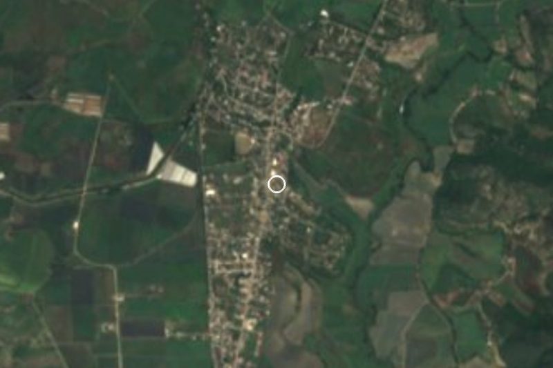
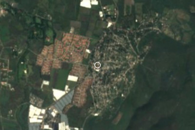
Near Bonifacio García

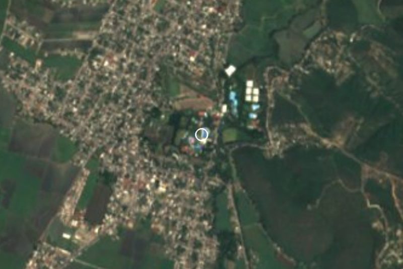


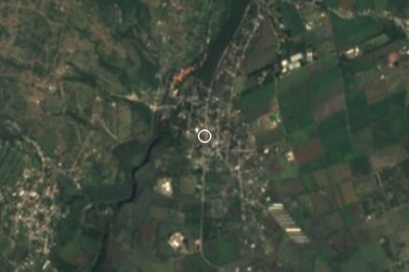




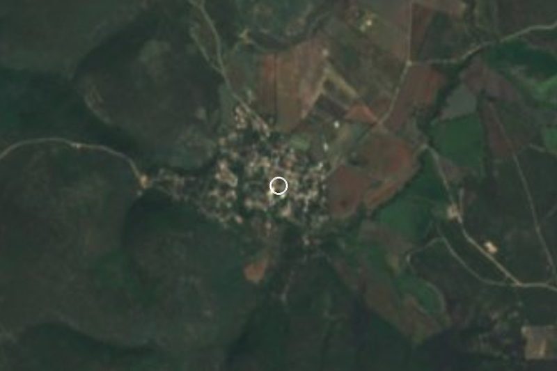

Drive times by road from OpenStreetMap, without traffic. Times marked ~ are estimated from the straight-line distance.
Location from OpenStreetMap. Written by Puebloteca.