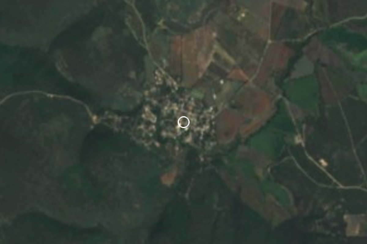
Village Yautepec, Morelos Municipality of Yautepec Southern Morelos
Village of about 1,000 people south of Yautepec, at 1,111 m among low hills; a stop on the way to Anenecuilco and Tlaltizapán.
From Cuautla: 35 min by car (18 km by road) How to get there ↓
Near here
See everything nearby ↓

Plan your visit to La Nopalera
Where to stay near La Nopalera
Compare hotels, posadas and guest houses in La Nopalera.
Tours to La Nopalera
Day trips and guided outings from Tlaltizapán often include La Nopalera; with a local guide you can get there without a car.
 Tours from Cuernavaca
3hr Cooking Class in Cuernavaca 8 Recipes and Bottomless Drinks
From US$59
How to get to La Nopalera
- From Cuautla: about 35 min by road (~18 km)
- Nearest airport: Mexico City (MEX), 1 h 55 min by car to Tlaltizapán
Links open a partner site. We may earn a commission if you book, at no cost to you.
Tours from Cuernavaca, near La Nopalera


Tours, prices and ratings from Viator, checked weekly. We may earn a commission if you book.
About La Nopalera
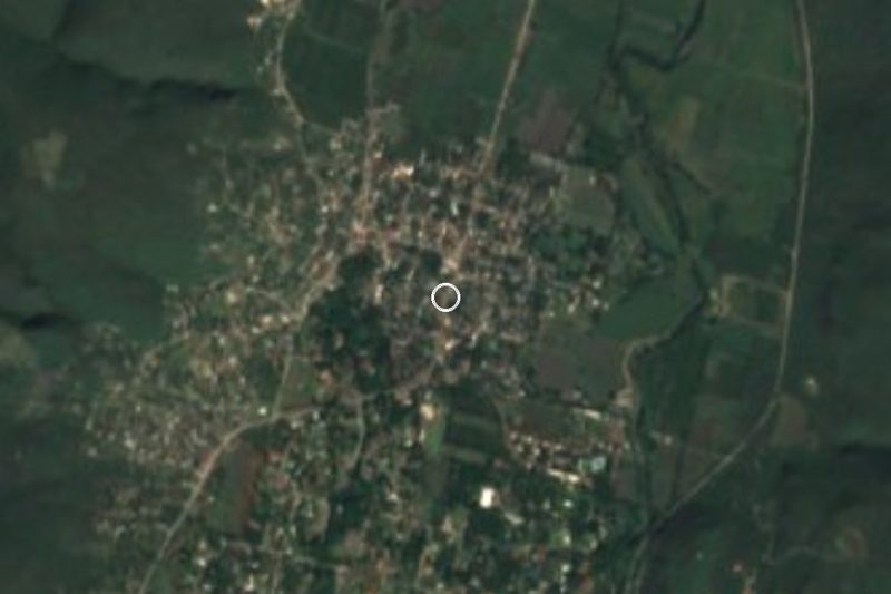
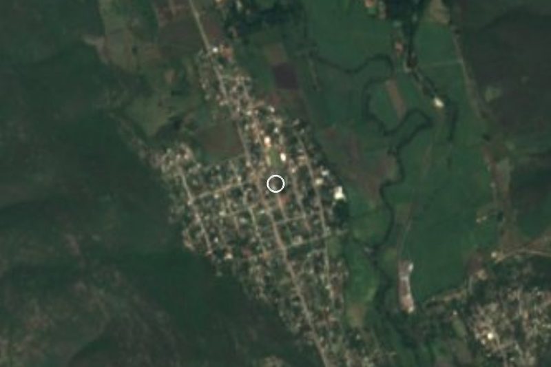
Anyone looking for La Nopalera should know that several places in Mexico share the name; this one is a locality in the municipality of Yautepec, about 10 km in a straight line south of the municipal seat, at 1,111 m above sea level. The 2020 census counted 1,005 residents (519 women and 486 men) and 296 households. It has grown steadily: 271 people in 1940, 694 in 2000, 768 in 2010 and 1,005 in 2020.
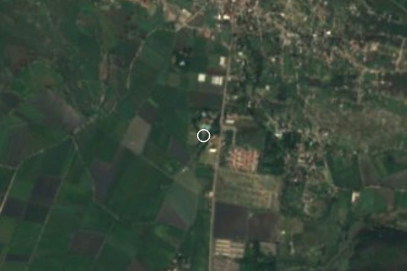
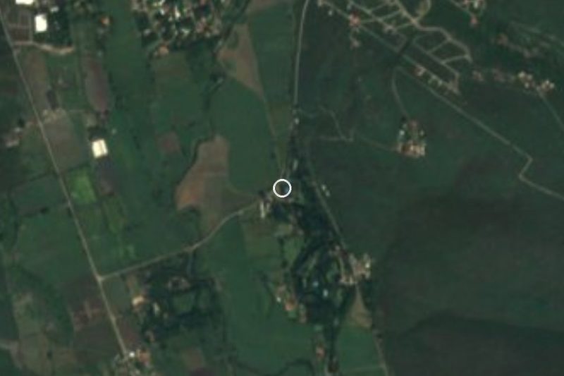
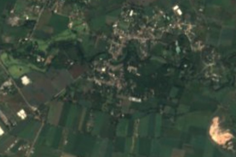
The landscape is low hills and open farmland. El Lindero hill (1,278 m) is 1 km to the south-west, Cerro Rayado (1,385 m) a little over 3 km south and Palo Amarillo (1,362 m) to the north-west. The climate is warm, with a mean of 22.3 °C and about 830 mm of rain spread over roughly 188 days a year. Most homes have electricity (96.6%) and piped water, and average schooling is 7.8 years.
This is not a tourist destination: no hotels are registered in the village (the nearest, a boutique hotel, is about 6 km west) and no sights inside it are documented. Its value to a traveller is as a stop between Yautepec and the road toward Cuautla and Tlaltizapán, the Pueblo Mágico of Zapata country, or as a look at everyday rural life in central Morelos away from the usual routes.
How to get to La Nopalera
Drive from Cuautla: 35 min, 18 km
La Nopalera is about 9.7 km in a straight line south of Yautepec de Zaragoza (the municipal seat, at 1,212 m, with 44,353 residents), along local roads such as Avenida Lázaro Cárdenas. By road allow roughly 20 minutes from Yautepec (an estimate, no documented figure); Cuautla is about 13 km away in a straight line (roughly 20 minutes) and Tlaltizapán, the nearest pueblo on our list, about 15 km in a straight line.
The simplest plan is to reach a larger city first. From Mexico City, Pullman de Morelos runs hourly from Terminal Sur (Taxqueña) to Cuautla (about 90 minutes, 120 to 220 pesos) and to Cuernavaca (about 75 minutes without traffic). In Cuautla the lines use separate stations: Pullman at Máximo Bravo 53, OCC (ADO) at 2 de Mayo 97 and Estrella Blanca at Ing. Mongoy 63. From there continue to Yautepec and La Nopalera by taxi or local transport.
We found no combi or bus line with a documented schedule to La Nopalera, so driving or agreeing a taxi from Yautepec or Cuautla is the safest option; download an offline map first, since several small localities nearby have similar names.
Directions to La Nopalera on Google Maps
Distances are in a straight line; the road is usually longer.
Links open a partner site. We may earn a commission if you book, at no cost to you.
From the nearest cities to La Nopalera
- Cuautla · 18 km by road, 35 min
- Cuernavaca · 36 km by road, 45 min
- Atlixco · 91 km by road, 1 h 30 min
Drive times by road from OpenStreetMap, without traffic or stops. Times marked ~ are estimated from the straight-line distance.
Visiting La Nopalera: what to see and do
Look at El Lindero hill (1,278 m), 1 km south-west of the village.
Note Cerro Rayado (1,385 m), the landmark to the south.
Visit Anenecuilco, Emiliano Zapata's birthplace: house-museum open Tuesday to Sunday, 10:00 to 17:00, 20 pesos.
Continue to Tlaltizapán, a Pueblo Mágico in the heart of Zapata country.
Plan your trip
Places to stay in La Nopalera
Compare hotels, posadas, and rentals in and around La Nopalera.
Tours & activities
Day trips and guided outings from Tlaltizapán often include La Nopalera; with a local guide you can get there without a car.
Rental cars
Pick up a car at MEX (Mexico City): about 1 h 55 min by road to Tlaltizapán, then 15 km more to La Nopalera, on your own schedule.
Flights
The nearest airport with scheduled flights is Mexico City (MEX), about 1 h 55 min by road from Tlaltizapán, the base for La Nopalera.
Mobile data
Signal can drop away from Tlaltizapán: download a map of the way to La Nopalera before you set out, or carry an eSIM with data.
Links open a partner site. We may earn a commission if you book, at no cost to you.
When to go to La Nopalera warm
La Nopalera shares the climate of Tlaltizapán, 15 km away. The best months to visit are January, October, November, and December.
See the month-by-month climate of Tlaltizapán
Weather in La Nopalera now and the next 7 days
Live forecast from Open-Meteo. Chance of rain is the day's highest.
The closest Pueblo Mágico: Tlaltizapán

Tlaltizapán is the Pueblo Mágico closest to La Nopalera, with places to stay, food, and more to see.
Also close to
- Tlayacapan · Morelos · 19 km away
- Tepoztlán · Morelos · 21 km away
- Xochitepec · Morelos · 26 km away
- Malinalco · Estado de México · 50 km away
- Tonatico · Estado de México · 64 km away
Closest to La Nopalera
-
San Isidro · Village · 5 km away
-
Exhacienda el Hospital · Village · 7 km away
-
Anenecuilco · Town · 8 km away
-
Puxtla · Village · 8 km away
-
Ticumán · Village · 8 km away
-
Balneario "El Axocochetl" · Hot springs · 9 km away
-
Balneario Santa Isabel · Hot springs · 9 km away
-
Ciudad Ayala · Town · 9 km away

Near La Nopalera

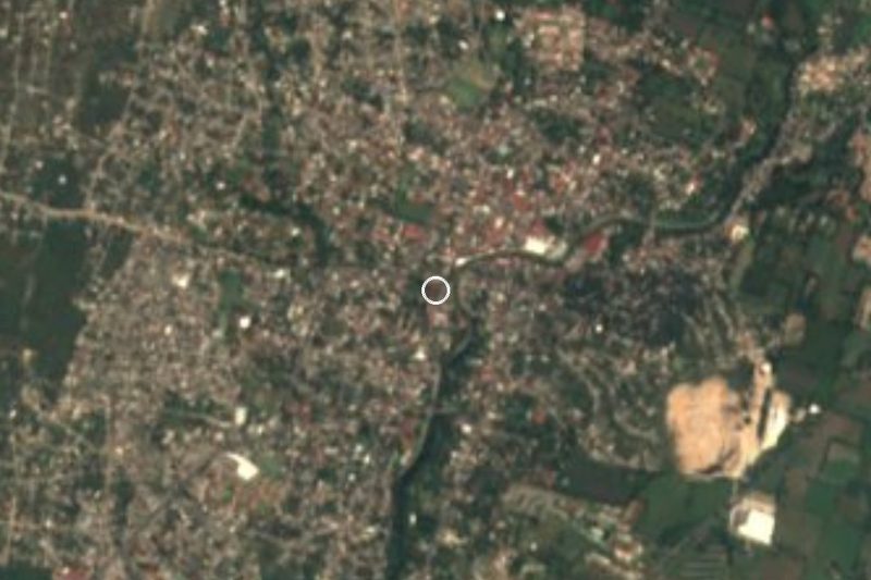
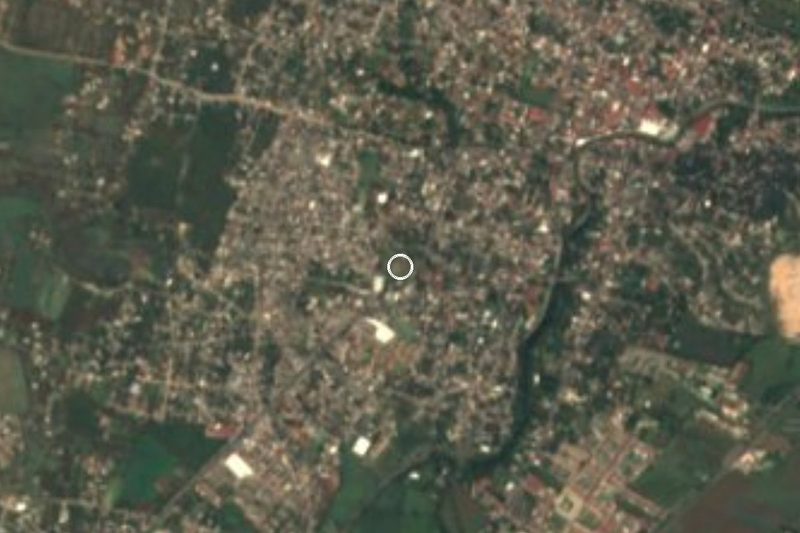
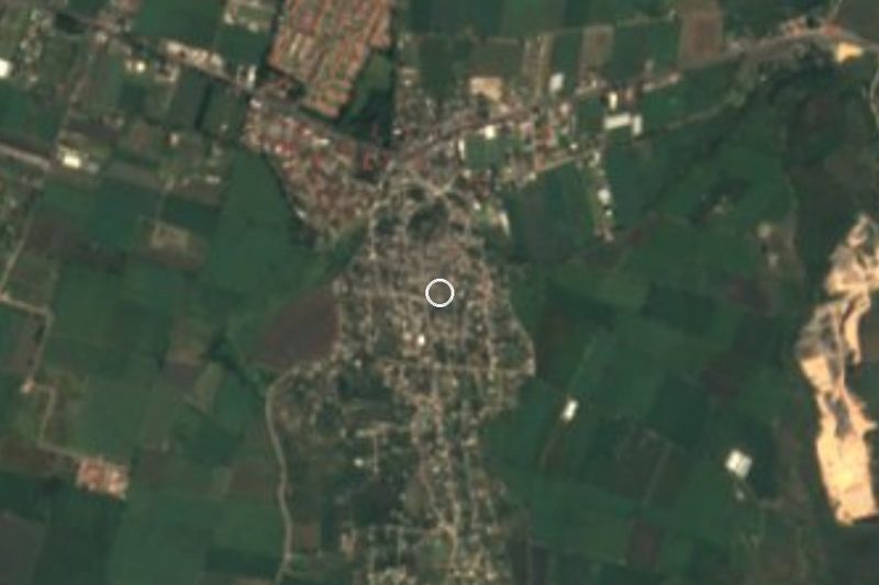
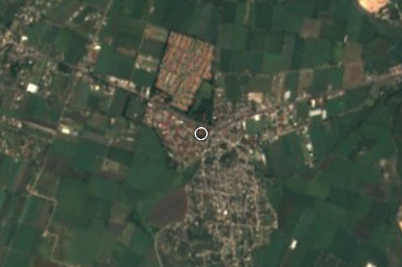



Drive times by road from OpenStreetMap, without traffic. Times marked ~ are estimated from the straight-line distance.
Location from OpenStreetMap. Written by Puebloteca.