
Village Tepoztlán, Morelos Municipality of Tepoztlán Monasteries on the slopes of Popocatépetl Northern Morelos
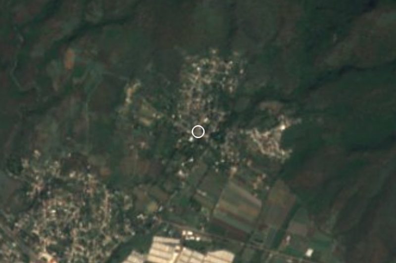
Village in Tepoztlán at 1,266 m, next to Oacalco; also called Colonia Ángel Bocanegra. 1,279 people in 2020.
From Cuautla: 15 min by car (17 km by road) How to get there ↓
Near here
See everything nearby ↓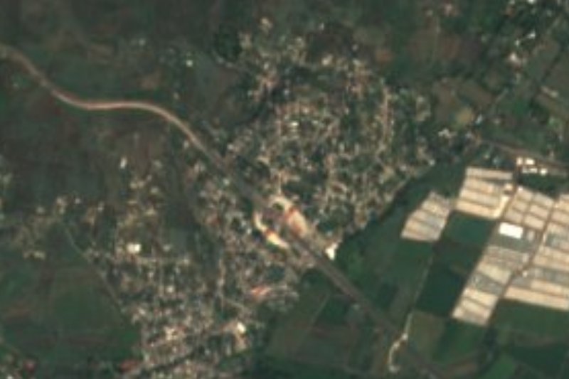
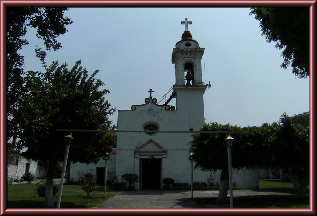

Plan your visit to Adolfo López Mateos
Where to stay near Adolfo López Mateos
Compare hotels, posadas and guest houses in Adolfo López Mateos.
Tours to Adolfo López Mateos
Day trips and guided outings from Tlayacapan often include Adolfo López Mateos; with a local guide you can get there without a car.
 Skip-the-line tickets for the Museum of Anthropology
★ 2.5 (48) · From US$25
How to get to Adolfo López Mateos
- From Cuautla: about 15 min by road (~17 km)
- Nearest airport: Mexico City (MEX), 1 h 33 min by car to Tlayacapan
Links open a partner site. We may earn a commission if you book, at no cost to you.
Popular tours to Adolfo López Mateos
Tours, prices and ratings from Viator, checked weekly. We may earn a commission if you book.
About Adolfo López Mateos
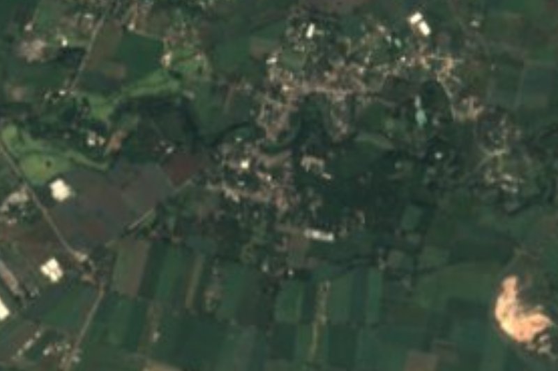
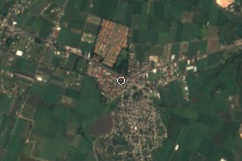
The president who governed from 1958 to 1964 lent his name to this village in the municipality of Tepoztlán, which maps also list as Colonia Ángel Bocanegra. It sits at 1,266 metres, and had 1,279 residents in 2020, the tenth largest of the municipality's 78 localities. To place it: it is not the other Adolfo López Mateos, the one in El Oro.
Its growth is late: 125 people in 1950, 372 in 1970, 842 in 2000 and 1,235 in 2010. About a quarter of residents (26%) were born outside Morelos, and over 13% identify as Indigenous. The main streets are Avenida Julio Novoa and Avenida José María Morelos y Pavón, and addresses here cite the Oacalco-Yautepec road and the Cuautla-Cuernavaca highway.
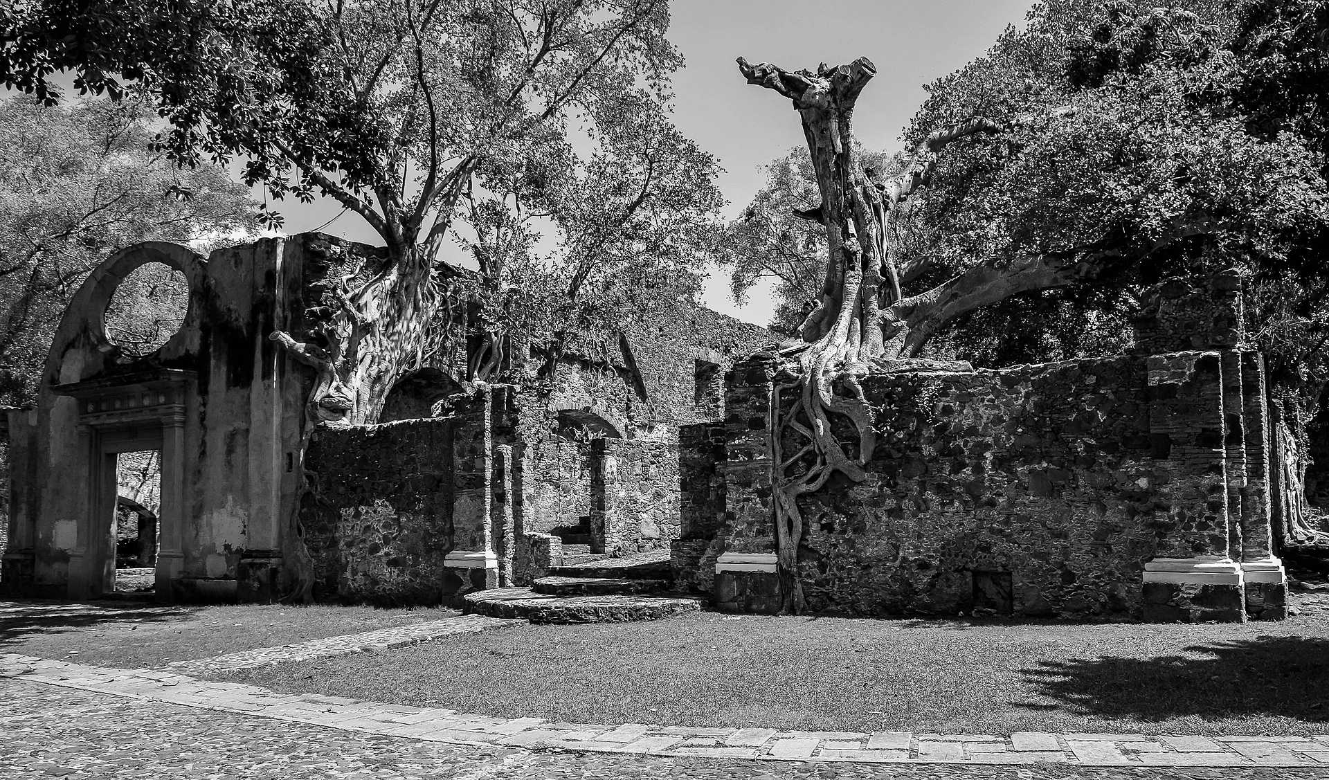
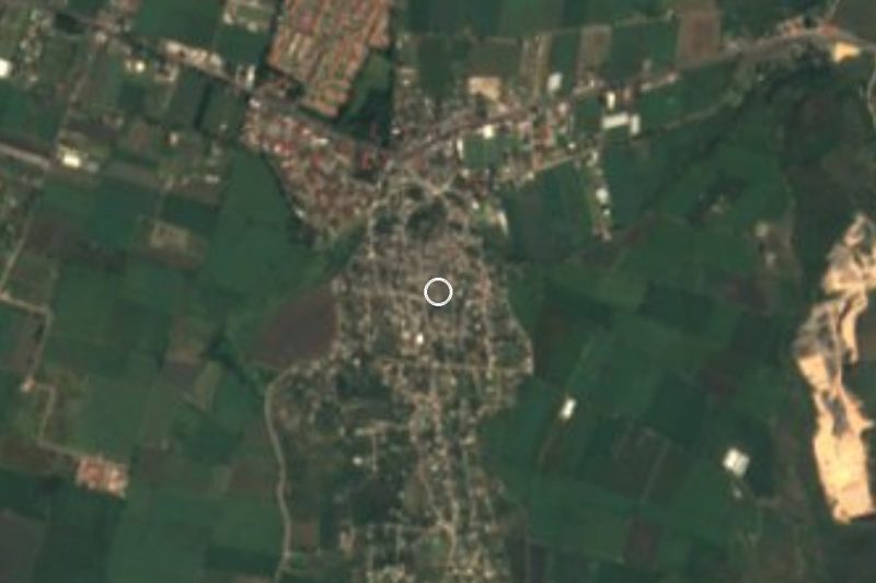
Right next door, about 700 m east, is Oacalco, with its former sugar hacienda; a university index records operating costs of the Oacalco hacienda as early as 1726. Las Vivianas is 500 m away and Lázaro Cárdenas (El Empalme) 800 m. To the northeast rise Popoclan (1,848 m) and Las Mariposas (2,146 m).
There are no hotels in the village itself. The Club Campestre del Río Oaxtepec and several small hotels are 4 to 5 km away.
How to get to Adolfo López Mateos
Drive from Cuautla: 15 min, 17 km
Adolfo López Mateos is in the Yautepec valley, about 700 m from Oacalco. From Cuernavaca take federal highway 160 (Cuernavaca-Cuautla), which runs through this area; Cuautla is about 55 km east of Cuernavaca. From Tepoztlán it is about 17 km, roughly 15 minutes; Tlayacapan is about 9 to 13 km, 9 to 13 minutes by car (PueblosAmérica gives both figures); Cuautla about 14 km in a straight line.
We found no published fixed bus or colectivo routes to the village: from Cuernavaca or Cuautla the usual way is to reach Oaxtepec or Yautepec and ask there for local transport toward Oacalco. If you drive, find the turn for Oacalco on the map beforehand so you do not overshoot.
Directions to Adolfo López Mateos on Google Maps
Distances are in a straight line; the road is usually longer.
Links open a partner site. We may earn a commission if you book, at no cost to you.
From the nearest cities to Adolfo López Mateos
- Cuautla · 17 km by road, 15 min
- Cuernavaca · 38 km by road, 35 min
- Atlixco · 92 km by road, 1 h 5 min
Drive times by road from OpenStreetMap, without traffic or stops. Times marked ~ are estimated from the straight-line distance.
Visiting Adolfo López Mateos: what to see and do
Walk to Oacalco, about 700 m away, and see what remains of the old sugar hacienda.
Stroll Avenida Julio Novoa and Avenida Morelos, the main streets.
Look northeast to Popoclan (1,848 m) and Las Mariposas (2,146 m).
Go on to Tlayacapan, about 9 km away, one of the area's Pueblos Mágicos.
Stop by the Club Campestre del Río Oaxtepec, about 4 km away.
Plan your trip
Places to stay in Adolfo López Mateos
Compare hotels, posadas, and rentals in and around Adolfo López Mateos.
Tours & activities
Day trips and guided outings from Tlayacapan often include Adolfo López Mateos; with a local guide you can get there without a car.
Rental cars
Pick up a car at MEX (Mexico City): about 1 h 33 min by road to Tlayacapan, then 6 km more to Adolfo López Mateos, on your own schedule.
Flights
The nearest airport with scheduled flights is Mexico City (MEX), about 1 h 33 min by road from Tlayacapan, the base for Adolfo López Mateos.
Mobile data
Signal can drop away from Tlayacapan: download a map of the way to Adolfo López Mateos before you set out, or carry an eSIM with data.
Links open a partner site. We may earn a commission if you book, at no cost to you.
When to go to Adolfo López Mateos mild
Adolfo López Mateos shares the climate of Tlayacapan, 6 km away. The best months to visit are January, February, March, and December.
See the month-by-month climate of Tlayacapan
Weather in Adolfo López Mateos now and the next 7 days
Live forecast from Open-Meteo. Chance of rain is the day's highest.
The closest Pueblo Mágico: Tlayacapan

Tlayacapan is the Pueblo Mágico closest to Adolfo López Mateos, with places to stay, food, and more to see.
Also close to
- Tepoztlán · Morelos · 10 km away
- Tlaltizapán · Morelos · 29 km away
- Xochitepec · Morelos · 33 km away
- Malinalco · Estado de México · 49 km away
- Atlixco · Puebla · 63 km away
Closest to Adolfo López Mateos
-
Lázaro Cárdenas · Village · 1 km away
-
Oacalco · Village · 1 km away
-
Ignacio Bastida · Village · 2 km away
-
Itzamatitlán · Village · 3 km away
-
Ex Hacienda de San Carlos · Landmark · 4 km away
-
Hacienda Apanquetzalco · Landmark · 5 km away
-
Los Arcos · Village · 5 km away
-
Zona Arqueológica El Tlatoani · Archaeological site · 5 km away

Near Adolfo López Mateos
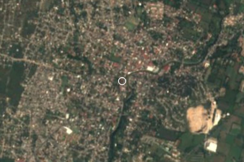
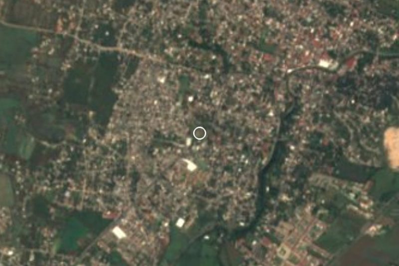



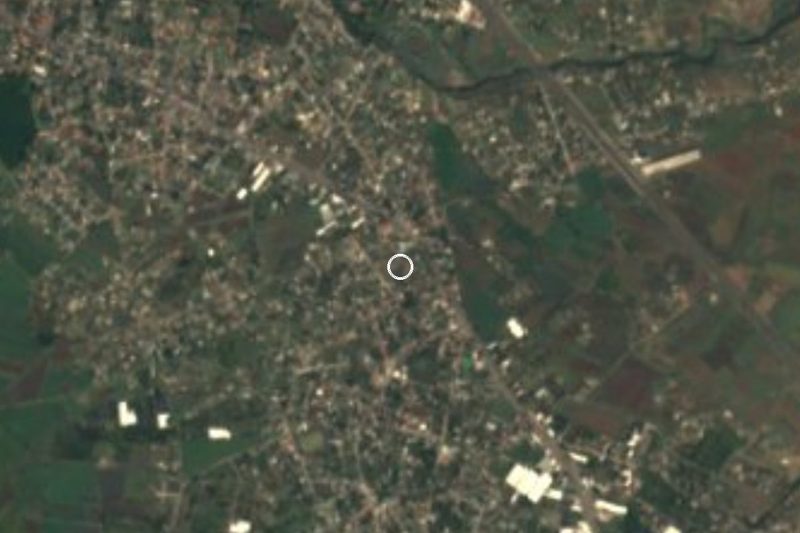
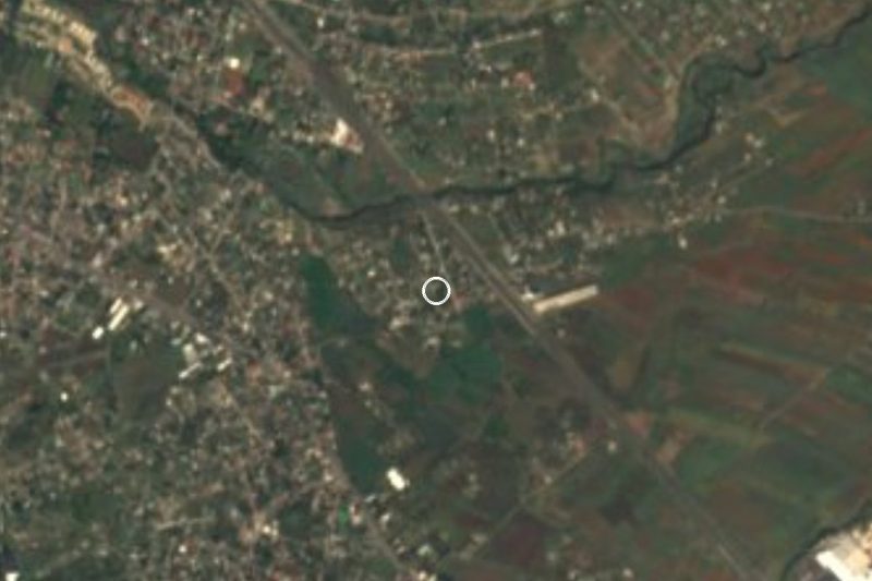
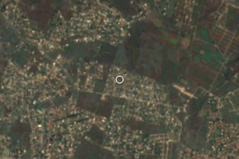

Drive times by road from OpenStreetMap, without traffic. Times marked ~ are estimated from the straight-line distance.
Location from OpenStreetMap. Written by Puebloteca.