Village Tlaltizapán de Zapata, Morelos Municipality of Tlaltizapán de Zapata Southern Morelos
A village 5 km from Tlaltizapán with a 16th-century ex-convent, an atrium cross carved with the Passion and the Assumption feast on 15 August.
From Cuernavaca: 35 min by car (31 km by road) How to get there ↓
Near here
See everything nearby ↓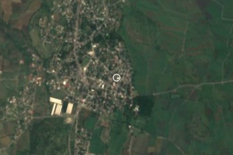

Plan your visit to Temimilcingo
Where to stay near Temimilcingo
Compare hotels, posadas and guest houses in Temimilcingo.
Tours to Temimilcingo
Day trips and guided outings from Tlaltizapán often include Temimilcingo; with a local guide you can get there without a car.
How to get to Temimilcingo
- From Cuernavaca: about 35 min by road (~31 km)
- Nearest airport: Mexico City (MEX), 1 h 55 min by car to Tlaltizapán
Links open a partner site. We may earn a commission if you book, at no cost to you.
About Temimilcingo
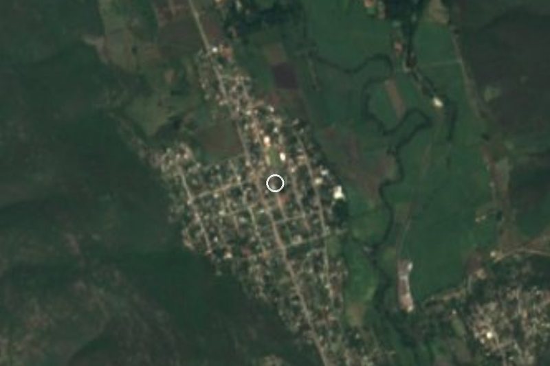
Temimilcingo is a locality in the municipality of Tlaltizapán de Zapata, in southern Morelos, with 1,504 residents in 2020. Its Nahuatl name, from temimitl, stone column, means "place of little stone columns"; a colonial-architecture blog suggests the convent may stand on the site of an older shrine there.
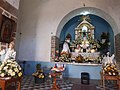
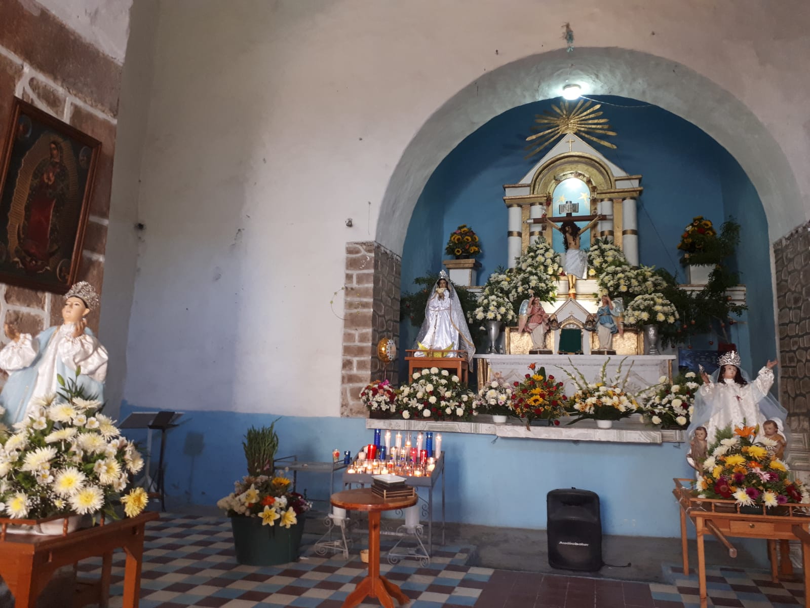
What sets the village apart is the church and ex-convent of Santa María de la Asunción. It began as a Franciscan mission and passed to the Dominicans in the mid-16th century. The facade is plain and rectangular, with a single tower and a relief of Calvary with a crown of thorns; inside are stone baptismal fonts, folk processional saints and a restored two-storey cloister. In the atrium stands a stone cross carved with Passion scenes in tightly packed panels: a crown of thorns at the crossing, three dice, a column topped by a rooster, a corn plant at the foot and a Judas with rope and purse. Its date is unknown, and it has been suggested that it survives from the Franciscan period. The September 2017 earthquake damaged it: photos from 2021 show cracks and damp in the church.
The main feast is 15 August, for the Virgin of the Assumption, with a fair. A tourism page also mentions an ejido-run spa with warm water in the village. Tlaltizapán, 5 km away, is the municipal seat and the town where Zapata set up his headquarters.
How to get to Temimilcingo
Drive from Cuernavaca: 35 min, 31 km
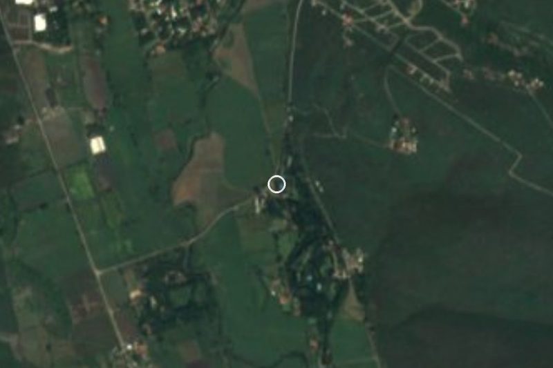
Temimilcingo is about 5 km from Tlaltizapán in a straight line, approx. 5 minutes by car. The state roads out of the municipal seat are Jojutla-Yautepec, Tlaltizapán-Chinameca, Tlaltizapán-Moyotepec, Tlaltizapán-Huatecalco and Zacatepec-Tlaltizapán. From Cuernavaca (23 km as the crow flies) México Desconocido estimates about 45 minutes; from Mexico City, take the Mexico-Acapulco highway south, pass Cuernavaca and exit toward Alpuyeca to join the state road to Tlaltizapán. By bus, take one from the southern terminal (Taxqueña) to Yautepec or Cuautla and then local transport to the village (México Desconocido). Few routes have a published timetable: ask in Tlaltizapán or Yautepec about the combi or taxi.
Directions to Temimilcingo on Google Maps
Distances are in a straight line; the road is usually longer.
Links open a partner site. We may earn a commission if you book, at no cost to you.
From the nearest cities to Temimilcingo
- Cuernavaca · 31 km by road, 35 min
- Cuautla · 42 km by road, 55 min
- Taxco · 73 km by road, 1 h 25 min
Drive times by road from OpenStreetMap, without traffic or stops. Times marked ~ are estimated from the straight-line distance.
Before you go to Temimilcingo: hours, prices and tips
- Best season
- The feast of the Virgin of the Assumption is held on 15 August, with a fair. Wikipedia (es), Tlaltizapán · checked Oct 2026
Hours and prices change, especially around holidays. Each fact links to where we checked it.
Visiting Temimilcingo: what to see and do
The church and ex-convent of Santa María de la Asunción, with its tower and Calvary relief.
The atrium cross, carved with the Passion: dice, rooster, Judas with a purse.
The two-storey cloister and the stone baptismal fonts.
The ejido-run spa, with warm water.
The Assumption feast on 15 August, with a fair.
Tlaltizapán, 5 km away: the Museo de la Revolución del Sur (Zapata's barracks) and the mausoleum in the church of San Miguel Arcángel.
Plan your trip
Places to stay in Temimilcingo
Compare hotels, posadas, and rentals in and around Temimilcingo.
Tours & activities
Day trips and guided outings from Tlaltizapán often include Temimilcingo; with a local guide you can get there without a car.
Rental cars
Pick up a car at MEX (Mexico City): about 1 h 55 min by road to Tlaltizapán, then 5 km more to Temimilcingo, on your own schedule.
Flights
The nearest airport with scheduled flights is Mexico City (MEX), about 1 h 55 min by road from Tlaltizapán, the base for Temimilcingo.
Mobile data
Signal can drop away from Tlaltizapán: download a map of the way to Temimilcingo before you set out, or carry an eSIM with data.
Links open a partner site. We may earn a commission if you book, at no cost to you.
When to go to Temimilcingo warm
Temimilcingo shares the climate of Tlaltizapán, 5 km away. The best months to visit are January, October, November, and December.
See the month-by-month climate of Tlaltizapán
Weather in Temimilcingo now and the next 7 days
Live forecast from Open-Meteo. Chance of rain is the day's highest.
The closest Pueblo Mágico: Tlaltizapán

Tlaltizapán is the Pueblo Mágico closest to Temimilcingo, with places to stay, food, and more to see.
Also close to
- Xochitepec · Morelos · 17 km away
- Tepoztlán · Morelos · 29 km away
- Tlayacapan · Morelos · 32 km away
- Malinalco · Estado de México · 43 km away
- Taxco · Guerrero · 51 km away
Closest to Temimilcingo
-
Santa Rosa Treinta · Village · 4 km away
-
Balneario Santa Isabel · Hot springs · 5 km away
-
Bonifacio García · Village · 5 km away
-
Las Estacas · Nature reserve · 5 km away
-
Tetecalita · Village · 5 km away
-
Palo Prieto · Village · 6 km away
-
Ticumán · Village · 6 km away
-
Atlacholoaya · Village · 7 km away
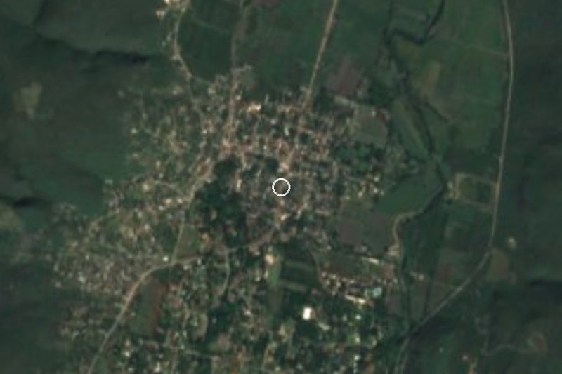

Near Temimilcingo
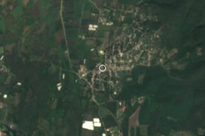




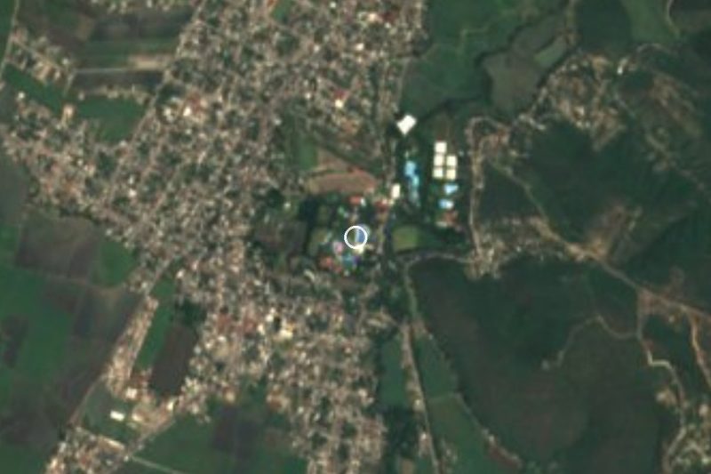


Drive times by road from OpenStreetMap, without traffic. Times marked ~ are estimated from the straight-line distance.
Location from OpenStreetMap. Written by Puebloteca.