
Village Tlalnepantla, Morelos Municipality of Tlalnepantla Monasteries on the slopes of Popocatépetl Northern Morelos
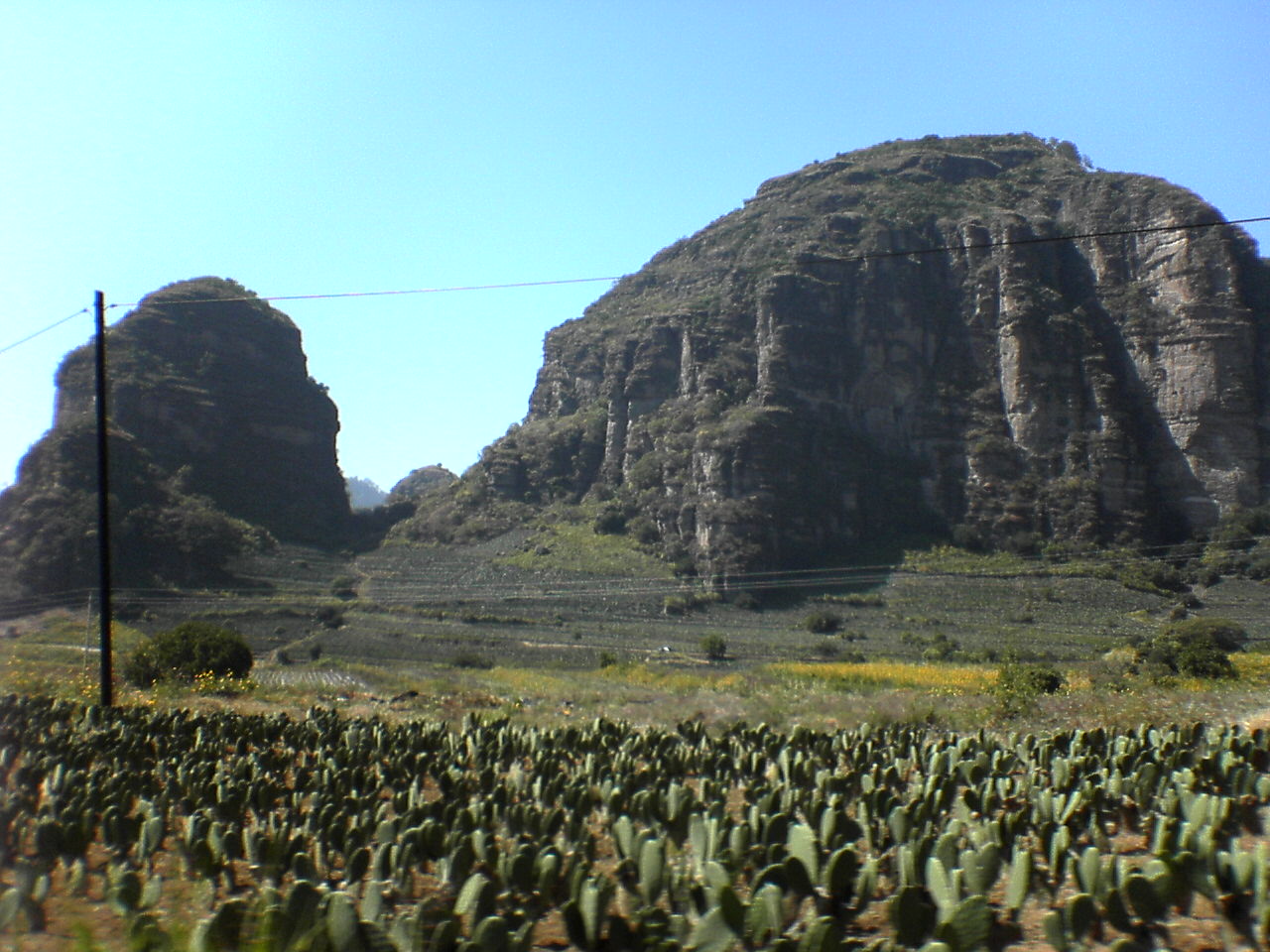
Northern Morelos town of 4,383 people at about 2,066 m, with an Augustinian ex-convent finished in 1791 and fields of nopal cactus.
From Cuautla: 35 min by car (27 km by road) How to get there ↓
Near here
See everything nearby ↓


Plan your visit to Tlalnepantla
Where to stay near Tlalnepantla
Compare hotels, posadas and guest houses in Tlalnepantla.
Tours to Tlalnepantla
Day trips and guided outings from Tlayacapan often include Tlalnepantla; with a local guide you can get there without a car.
 Tours from Cuernavaca
3hr Cooking Class in Cuernavaca 8 Recipes and Bottomless Drinks
From US$59
How to get to Tlalnepantla
- From Cuautla: about 35 min by road (~27 km)
- Nearest airport: Mexico City (MEX), 1 h 33 min by car to Tlayacapan
Links open a partner site. We may earn a commission if you book, at no cost to you.
Tours from Cuernavaca, near Tlalnepantla


Tours, prices and ratings from Viator, checked weekly. We may earn a commission if you book.
About Tlalnepantla
On the northern slope of Morelos, at about 2,066 m, Tlalnepantla is the seat of the least populous of the municipalities that border Mexico City. It had 4,383 residents in 2020 (3,872 in 2010); the whole municipality counted 7,166 in 2015. The name is Nahuatl, from tlalli, earth, and nepantla, in the middle: in the middle of the land. It is not Tlalnepantla de Baz in the State of Mexico.
Nahua and Tlahuica settlements came before the town, and by the 1590s Teocaltitla existed, the origin of the present village. The Augustinians began the convent and parish of the Purification in the 16th century and it was finished in 1791; the church was burned during the War of Independence and restored in 1933. The barrios were grouped as Tlalnepantla-Cuahutenco around 1680 to 1690, the name was shortened in 1869, and the town passed from the State of Mexico to Morelos on 17 April of that year.
The economy revolves around nopal: according to Wikipedia, about 89% of agriculture is prickly pear grown as a vegetable, sold in Mexico City, Monterrey, Tijuana and the United States, and the municipality is said to be the country's top producer. Corn and tomatoes, once the staples, are now second. On the table that means nopal sandwiches, tamales and eggs with nopales, along with mole verde and cecina with cheese. The climate is temperate and sub-humid, averaging about 17 °C, and the municipality has no rivers: rainwater runs through ravines.
The main fiestas are the Pentecost fair, 50 days after Easter, with rodeo, rides and fireworks, and Santiago Apóstol on 25 July. Carnival has been held since 1905, was suspended during the Revolution and returned in 1929, with chinelos and four brass bands that play at the fairs.
How to get to Tlalnepantla
Drive from Cuautla: 35 min, 27 km
From Mexico City it is about 88 km from the Zócalo, on Federal Highway 113, which links Xochimilco with Oaxtepec (56 km in all, per Wikipedia) and crosses the municipality; the hamlet of El Vigía was cut off until it opened in 1973. From Cuernavaca it is about 51 km and roughly 1 h 13 min; from Cuautla, about 29 km. Tepoztlán is about 39 km by road. Tlayacapan, the neighbouring town, is about 6 km in a straight line. By bus the practical way is to reach Cuautla, Oaxtepec or Tepoztlán (buses to Tepoztlán leave the Terminal Sur at Taxqueña: about 164 pesos and 1 h 20 min according to Chilango) and continue by taxi or local transport; we found no published direct bus service. The town sits above 2,000 m, so bring a jacket.
Directions to Tlalnepantla on Google Maps
Distances are in a straight line; the road is usually longer.
Links open a partner site. We may earn a commission if you book, at no cost to you.
From the nearest cities to Tlalnepantla
- Cuautla · 27 km by road, 35 min
- Cuernavaca · 58 km by road, 1 h
- Atlixco · 102 km by road, 1 h 30 min
Drive times by road from OpenStreetMap, without traffic or stops. Times marked ~ are estimated from the straight-line distance.
Before you go to Tlalnepantla: hours, prices and tips
- Best season
- Temperate sub-humid climate, about 17 °C on average; Pentecost fair 50 days after Easter, Santiago on 25 July. Wikipedia · checked Oct 2026
Hours and prices change, especially around holidays. Each fact links to where we checked it.
Visiting Tlalnepantla: what to see and do
Visit the ex-convent and parish of the Purification, finished in 1791.
Look for the chapels of San Pedro, San Felipe, San Nicolás, San Bartolo and Santiago.
See the 1998 mural in the municipal auditorium, showing Morelos's 33 municipalities.
Walk past the nopal fields on the slopes, with the crags behind.
Eat something made with nopal: sandwiches, tamales or eggs with nopales.
Go to the Pentecost fair or the carnival, with chinelos and brass bands.
Plan your trip
Places to stay in Tlalnepantla
Compare hotels, posadas, and rentals in and around Tlalnepantla.
Tours & activities
Day trips and guided outings from Tlayacapan often include Tlalnepantla; with a local guide you can get there without a car.
Rental cars
Pick up a car at MEX (Mexico City): about 1 h 33 min by road to Tlayacapan, then 6 km more to Tlalnepantla, on your own schedule.
Flights
The nearest airport with scheduled flights is Mexico City (MEX), about 1 h 33 min by road from Tlayacapan, the base for Tlalnepantla.
Mobile data
Signal can drop away from Tlayacapan: download a map of the way to Tlalnepantla before you set out, or carry an eSIM with data.
Links open a partner site. We may earn a commission if you book, at no cost to you.
When to go to Tlalnepantla mild
Tlalnepantla shares the climate of Tlayacapan, 6 km away. The best months to visit are January, February, March, and December.
See the month-by-month climate of Tlayacapan
Weather in Tlalnepantla now and the next 7 days
Live forecast from Open-Meteo. Chance of rain is the day's highest.
The closest Pueblo Mágico: Tlayacapan

Tlayacapan is the Pueblo Mágico closest to Tlalnepantla, with places to stay, food, and more to see.
Also close to
- Tepoztlán · Morelos · 11 km away
- Tlaltizapán · Morelos · 39 km away
- Xochitepec · Morelos · 41 km away
- Malinalco · Estado de México · 53 km away
- Atlixco · Puebla · 61 km away
Closest to Tlalnepantla
-
San José de los Laureles · Village · 3 km away
-
El Vigía · Village · 4 km away
-
Amatlán de Quetzalcóatl · Town · 5 km away
-
Zona Arqueológica El Tlatoani · Archaeological site · 5 km away
-
Nepopualco · Village · 6 km away
-
Felipe Neri · Village · 7 km away
-
San Andrés Cuauhtempan · Village · 7 km away
-
Santo Domingo Ocotitlán · Village · 7 km away
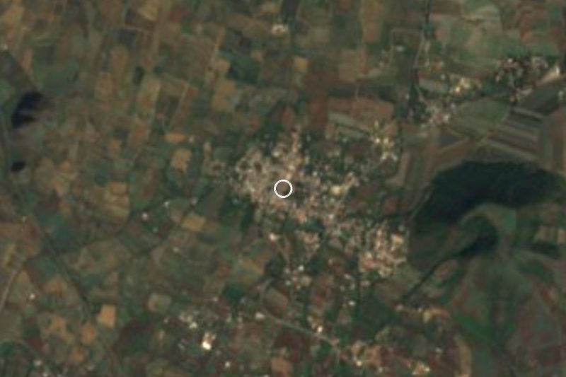
Near Tlalnepantla



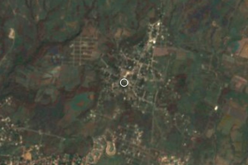


Drive times by road from OpenStreetMap, without traffic. Times marked ~ are estimated from the straight-line distance.
Location from OpenStreetMap. Written by Puebloteca.