Village Tepoztlán, Morelos Municipality of Tepoztlán Monasteries on the slopes of Popocatépetl Northern Morelos
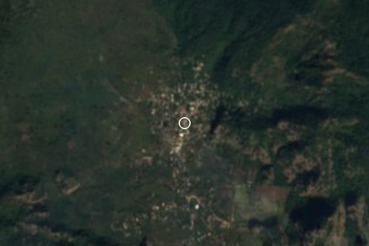
Village in Tepoztlán municipality at 2,072 m, "place surrounded by pines", reached by van from Tepoztlán on an old road with amate trees.
From Cuautla: 35 min by car (32 km by road) How to get there ↓
Near here
See everything nearby ↓


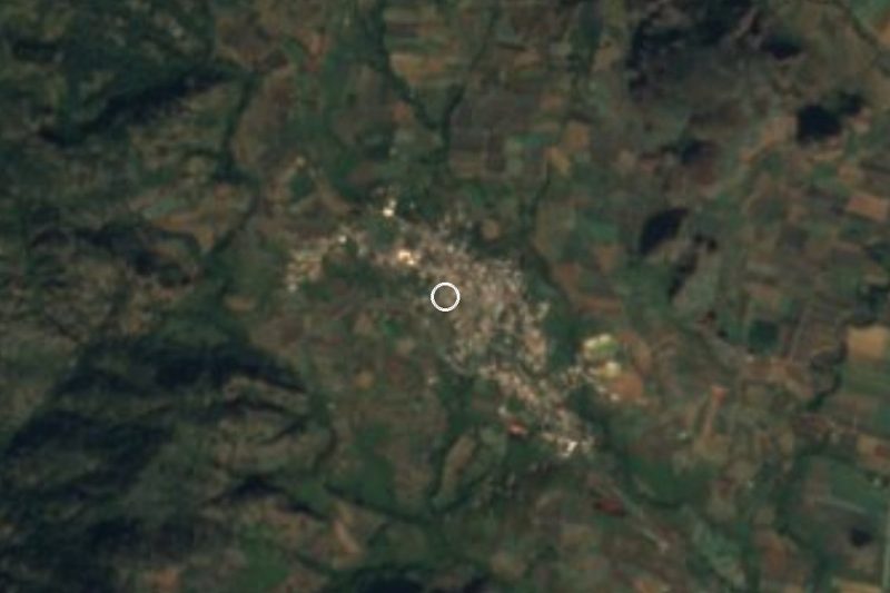

Plan your visit to Santo Domingo Ocotitlán
Where to stay near Santo Domingo Ocotitlán
Compare hotels, posadas and guest houses in Santo Domingo Ocotitlán.
Tours to Santo Domingo Ocotitlán
Day trips and guided outings from Tepoztlán often include Santo Domingo Ocotitlán; with a local guide you can get there without a car.
How to get to Santo Domingo Ocotitlán
- From Cuautla: about 35 min by road (~32 km)
- Nearest airport: Mexico City (MEX), 1 h 25 min by car to Tepoztlán
Links open a partner site. We may earn a commission if you book, at no cost to you.
About Santo Domingo Ocotitlán
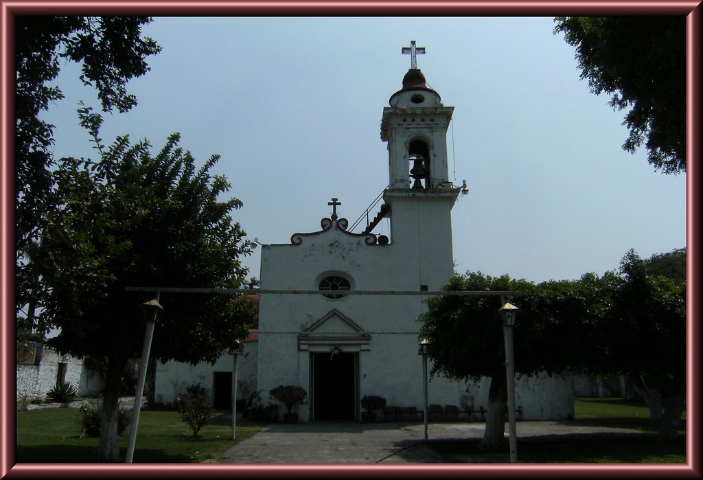
Ocotitlán comes from Nahuatl: ocotl, the resinous pine, and titlan, "among" or "surrounded by", so the full name, Santo Domingo Ocotitlán, reads as a place surrounded by pines under the patronage of Saint Dominic de Guzmán. It stands at about 2,072 metres above sea level, well above the Tepoztlán valley floor, and belongs to Tepoztlán municipality, separate from the Pueblo Mágico people often confuse it with. There are no ruins or spas to advertise here; what you find is a mountain community with its own festive calendar.
The population has risen unevenly. The count was 1,039 in 1900 and 1,104 in 1910; the 1921 census found only 274, and it stayed under 377 until 1970. After that it grew: 744 in 1980, 1,317 in 2000, 1,541 in 2010 and 1,799 in 2020, the highest on record. The village's religious festivals were the subject of a 1999 anthropology thesis at UAM, "Calendario anual de fiestas religiosas en Santo Domingo Ocotitlán".
For walkers, a 2015 photo on Wikimedia Commons documents an amate fig growing around a rock on the old road to Ocotitlán, a detail that says a lot about the wooded, rocky landscape of this part of the range. Ask in the village before you head into the hills.
How to get to Santo Domingo Ocotitlán
Drive from Cuautla: 35 min, 32 km
Santo Domingo Ocotitlán is about 5 km from Tepoztlán in a straight line and some 21 km from Cuernavaca, and higher up at 2,072 m. From Tepoztlán, Ometochtli local vans to Amatlán, Santo Domingo Ocotitlán or Santiago Tepetlapa leave from Avenida Revolución de 1910 and pass Camino a Meztitla every 10 to 15 minutes; the local fare is about 10 pesos, and there are no stops, so flag the van and tell the driver where you get off. To reach Tepoztlán from Cuernavaca, direct Ometochtli buses run every 30 minutes (about 35 pesos, 45 minutes), and from Mexico City Pullman de Morelos buses leave Taxqueña roughly every 40 minutes. By car, enter Tepoztlán on the Cuernavaca-Tepoztlán road (21 km by the toll road) and ask for the turn to Ocotitlán; the last stretch is a local road of roughly 10 to 15 minutes (approximate). Confirm fares with the driver.
Directions to Santo Domingo Ocotitlán on Google Maps
Distances are in a straight line; the road is usually longer.
Links open a partner site. We may earn a commission if you book, at no cost to you.
From the nearest cities to Santo Domingo Ocotitlán
- Cuautla · 32 km by road, 35 min
- Cuernavaca · 35 km by road, 40 min
- Atlixco · 107 km by road, 1 h 25 min
Drive times by road from OpenStreetMap, without traffic or stops. Times marked ~ are estimated from the straight-line distance.
Visiting Santo Domingo Ocotitlán: what to see and do
Walk the old road to Ocotitlán and look for the amate fig growing around a rock.
Wander the village centre, whose patron saint is Dominic de Guzmán.
Ask about the patron saint's feast and the rest of the local festive calendar.
Walk the surroundings, above 2,000 m, in sturdy shoes and after asking locally.
Drop down to Tepoztlán, about 5 km away, for the former convent of La Natividad and the market.
Plan your trip
Places to stay in Santo Domingo Ocotitlán
Compare hotels, posadas, and rentals in and around Santo Domingo Ocotitlán.
Tours & activities
Day trips and guided outings from Tepoztlán often include Santo Domingo Ocotitlán; with a local guide you can get there without a car.
Rental cars
Pick up a car at MEX (Mexico City): about 1 h 25 min by road to Tepoztlán, then 5 km more to Santo Domingo Ocotitlán, on your own schedule.
Flights
The nearest airport with scheduled flights is Mexico City (MEX), about 1 h 25 min by road from Tepoztlán, the base for Santo Domingo Ocotitlán.
Mobile data
Signal can drop away from Tepoztlán: download a map of the way to Santo Domingo Ocotitlán before you set out, or carry an eSIM with data.
Links open a partner site. We may earn a commission if you book, at no cost to you.
When to go to Santo Domingo Ocotitlán mild
Santo Domingo Ocotitlán shares the climate of Tepoztlán, 5 km away. The best months to visit are January, February, March, and December.
See the month-by-month climate of Tepoztlán
Weather in Santo Domingo Ocotitlán now and the next 7 days
Live forecast from Open-Meteo. Chance of rain is the day's highest.
The closest Pueblo Mágico: Tepoztlán

Tepoztlán is the Pueblo Mágico closest to Santo Domingo Ocotitlán, with places to stay, food, and more to see.
Also close to
- Tlayacapan · Morelos · 11 km away
- Xochitepec · Morelos · 36 km away
- Tlaltizapán · Morelos · 37 km away
- Malinalco · Estado de México · 47 km away
- Metepec · Estado de México · 62 km away
Closest to Santo Domingo Ocotitlán
-
Los Venaditos · Waterfall · 3 km away
-
San Juan Tlacotenco · Village · 3 km away
-
Parque Nacional El Tepozteco · Nature reserve · 4 km away
-
Amatlán de Quetzalcóatl · Town · 5 km away
-
San José de los Laureles · Village · 7 km away
-
Tlalnepantla · Village · 7 km away
-
San Andrés de la Cal · Village · 8 km away
-
Zona Arqueológica El Tlatoani · Archaeological site · 8 km away


Near Santo Domingo Ocotitlán
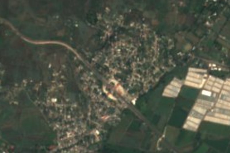


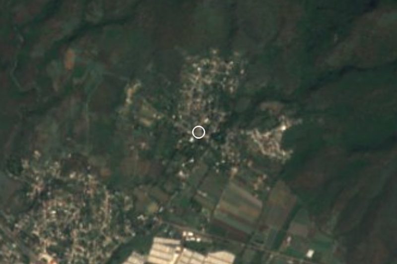


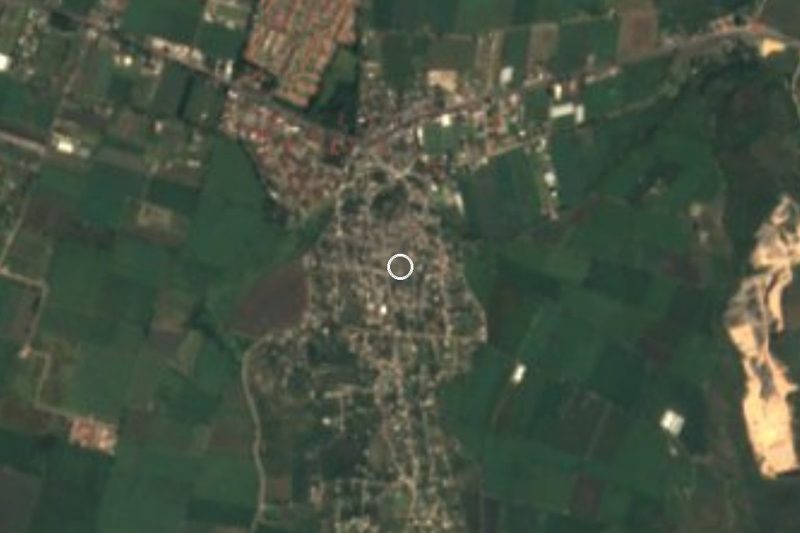
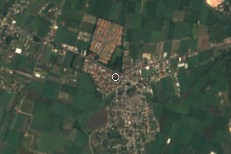

Drive times by road from OpenStreetMap, without traffic. Times marked ~ are estimated from the straight-line distance.
Location from OpenStreetMap. Written by Puebloteca.