
Village Tepoztlán, Morelos Municipality of Tepoztlán Monasteries on the slopes of Popocatépetl Northern Morelos
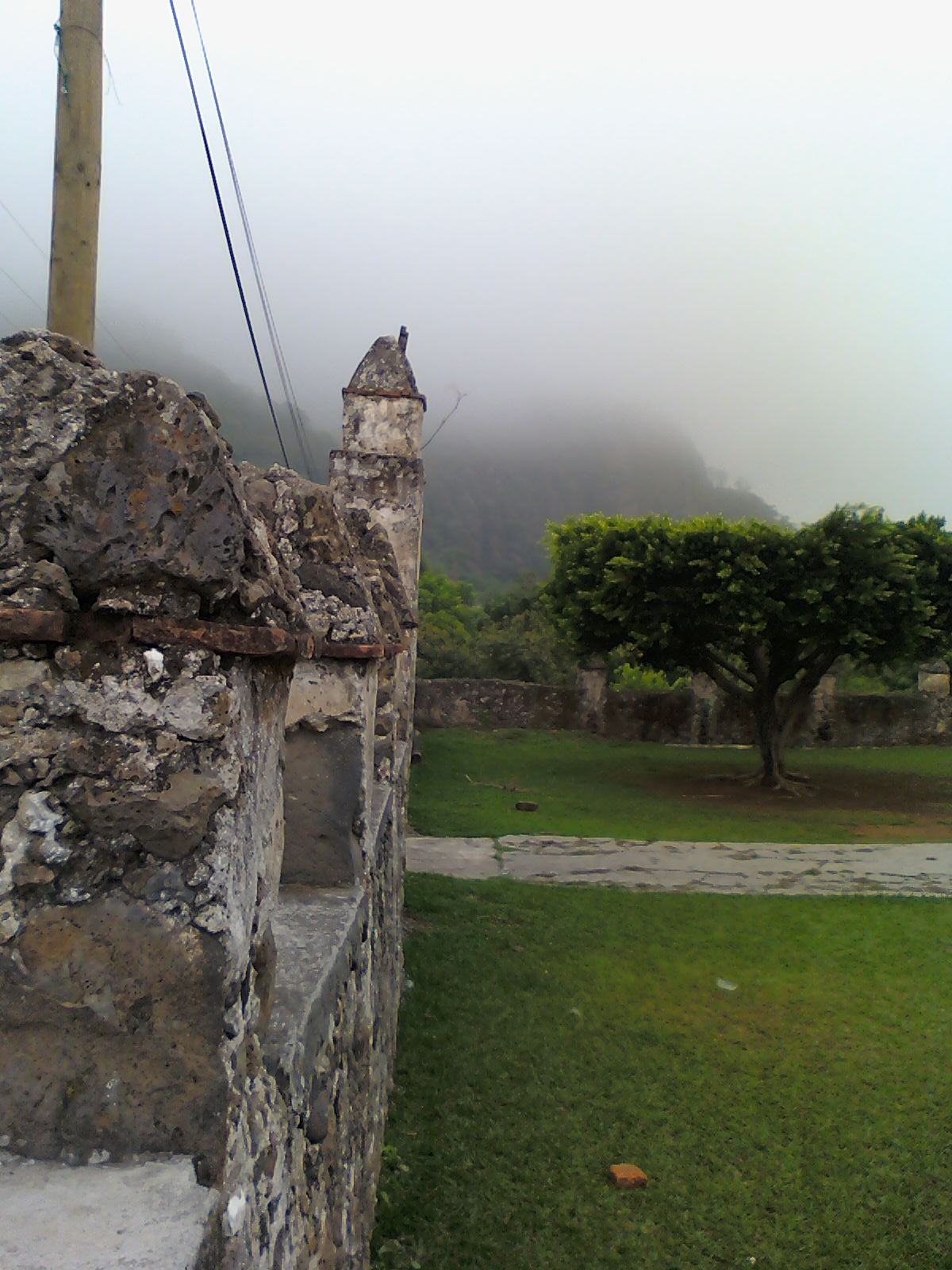
A maize-farming village of Tepoztlán, also called Tenextitla, with two churches facing each other and common land bordering El Texcal.
From Cuernavaca: 25 min by car (20 km by road) How to get there ↓
Near here
See everything nearby ↓

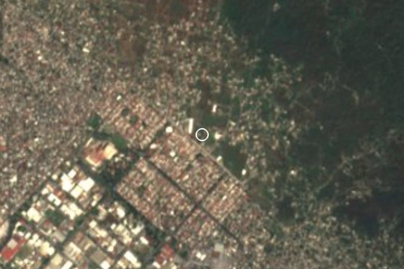
Plan your visit to San Andrés de la Cal
Where to stay near San Andrés de la Cal
Compare hotels, posadas and guest houses in San Andrés de la Cal.
Tours to San Andrés de la Cal
Day trips and guided outings from Tepoztlán often include San Andrés de la Cal; with a local guide you can get there without a car.
How to get to San Andrés de la Cal
- From Cuernavaca: about 25 min by road (~20 km)
- Nearest airport: Mexico City (MEX), 1 h 25 min by car to Tepoztlán
Links open a partner site. We may earn a commission if you book, at no cost to you.
About San Andrés de la Cal
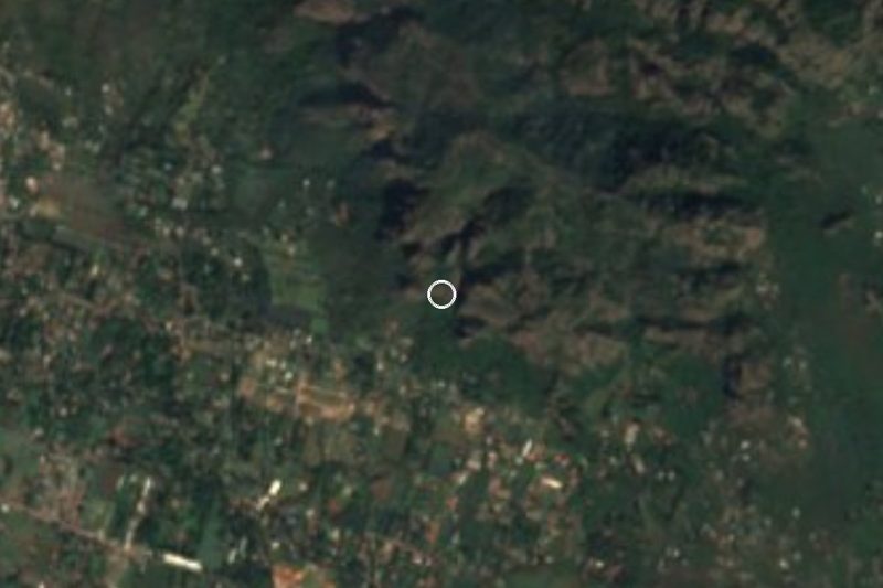
San Andrés de la Cal is one of the villages ringing Tepoztlán, at roughly 1,500 metres, with 1,645 residents in the 2020 census. Its Nahuatl name is Tenextitla, "place where there is lime". Its common lands, about 2,767 hectares, touch the El Texcal ecological reserve on the south and the lower slopes of the Tepozteco range on the north; according to Wikipedia, the village lies inside El Tepozteco National Park.
For centuries life here has revolved around farming. It is the municipality's second-largest maize producer, and the crop is rain-fed: it depends on the water that falls between June and September and that the hills channel toward a small micro-basin. The surrounding scrub is dry tropical forest, with casahuate trees, plums, guavas and huizache, and the animals people see include squirrels, ringtails, opossums, iguanas and vipers. Two hills serve as local landmarks: Cerro de la Cruz and Cerro de la Corona, also called Barriga de Plata.
The visible heritage is two churches, San Andrés and El Salvador, standing face to face. That explains the two patron festivals: 30 November for Saint Andrew the Apostle and the third Sunday of January for El Salvador, when families offer a meal in the saint's honour. The village is also home to some gardens for social events, the start of a small tourist trade. Catholicism predominates, with a community of the Church of Jesus Christ of Latter-day Saints.
How to get to San Andrés de la Cal
Drive from Cuernavaca: 25 min, 20 km
San Andrés de la Cal lies on the federal road between Cuernavaca and Tepoztlán, around kilometre 14. Tepoztlán, the nearest pueblo, is about 4 km away in a straight line, approx. 5 minutes by car; Cuernavaca is about 13 km as the crow flies, approx. 15 minutes. From Cuernavaca the route is that same road northward, and the village sits between the edges of El Texcal and the Tepozteco range. By bus, Cuernavaca's Central de Autobuses has frequent departures to Tepoztlán (Wikivoyage), and from Tepoztlán you continue by taxi or local transport. From Mexico City, the usual way is to go down to Cuernavaca (southern terminal, Taxqueña) or carry on to Tepoztlán and double back a few kilometres. We found no direct service with published timetables to the village: ask the driver where to get off.
Directions to San Andrés de la Cal on Google Maps
Distances are in a straight line; the road is usually longer.
Links open a partner site. We may earn a commission if you book, at no cost to you.
From the nearest cities to San Andrés de la Cal
- Cuernavaca · 20 km by road, 25 min
- Cuautla · 33 km by road, 35 min
- Mexico City · 84 km by road, 1 h 20 min
Drive times by road from OpenStreetMap, without traffic or stops. Times marked ~ are estimated from the straight-line distance.
Before you go to San Andrés de la Cal: hours, prices and tips
- Best season
- Two patron festivals: 30 November (Saint Andrew the Apostle) and the third Sunday of January (El Salvador). The maize is rain-fed and depends on the June to September rains. Wikipedia (es) · checked Oct 2026
Hours and prices change, especially around holidays. Each fact links to where we checked it.
Visiting San Andrés de la Cal: what to see and do
The churches of San Andrés and El Salvador, facing each other.
The festival of Saint Andrew on 30 November and El Salvador's on the third Sunday of January.
Cerro de la Cruz and Cerro de la Corona (Barriga de Plata), the village's landmarks.
The dry tropical forest around it, with casahuate and plum trees, best in the rainy season.
The fireworks castle burned at the patron festivals.
Plan your trip
Places to stay in San Andrés de la Cal
Compare hotels, posadas, and rentals in and around San Andrés de la Cal.
Tours & activities
Day trips and guided outings from Tepoztlán often include San Andrés de la Cal; with a local guide you can get there without a car.
Rental cars
Pick up a car at MEX (Mexico City): about 1 h 25 min by road to Tepoztlán, then 4 km more to San Andrés de la Cal, on your own schedule.
Flights
The nearest airport with scheduled flights is Mexico City (MEX), about 1 h 25 min by road from Tepoztlán, the base for San Andrés de la Cal.
Mobile data
Signal can drop away from Tepoztlán: download a map of the way to San Andrés de la Cal before you set out, or carry an eSIM with data.
Links open a partner site. We may earn a commission if you book, at no cost to you.
When to go to San Andrés de la Cal mild
San Andrés de la Cal shares the climate of Tepoztlán, 4 km away. The best months to visit are January, February, March, and December.
See the month-by-month climate of Tepoztlán
Weather in San Andrés de la Cal now and the next 7 days
Live forecast from Open-Meteo. Chance of rain is the day's highest.
The closest Pueblo Mágico: Tepoztlán

Tepoztlán is the Pueblo Mágico closest to San Andrés de la Cal, with places to stay, food, and more to see.
Also close to
- Tlayacapan · Morelos · 14 km away
- Xochitepec · Morelos · 27 km away
- Tlaltizapán · Morelos · 30 km away
- Malinalco · Estado de México · 41 km away
- Ixtapan de la Sal · Estado de México · 60 km away
Closest to San Andrés de la Cal
-
Santa Catarina · Village · 3 km away
-
Los Venaditos · Waterfall · 5 km away
-
Parque Nacional El Tepozteco · Nature reserve · 5 km away
-
Loma Esmeralda · Village · 6 km away
-
Lomas del Pedregal · Village · 6 km away
-
Tetecolala · Village · 6 km away
-
Balneario El Texcal · Hot springs · 7 km away
-
La Joya · Village · 7 km away
Near San Andrés de la Cal


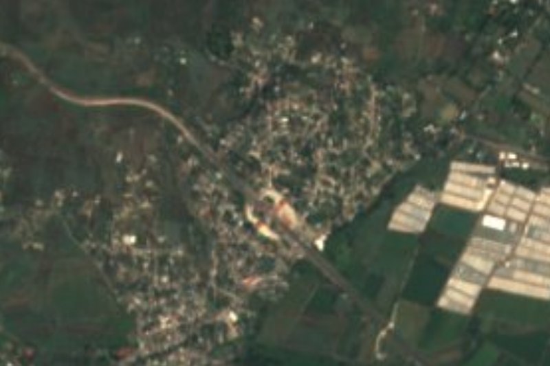





Drive times by road from OpenStreetMap, without traffic. Times marked ~ are estimated from the straight-line distance.
Location from OpenStreetMap. Written by Puebloteca.