


Village Tepoztlán, Morelos Municipality of Tepoztlán Monasteries on the slopes of Popocatépetl Northern Morelos
Santa Catarina Zacatepec, in El Tepozteco National Park: 17th-century Dominican church, springs and eateries on the road to Tepoztlán.
From Cuernavaca: 20 min by car (17 km by road) How to get there ↓
Near here
See everything nearby ↓

Plan your visit to Santa Catarina
Where to stay near Santa Catarina
Compare hotels, posadas and guest houses in Santa Catarina.
Tours to Santa Catarina
Day trips and guided outings from Tepoztlán often include Santa Catarina; with a local guide you can get there without a car.
 Tours from Cuernavaca
3hr Cooking Class in Cuernavaca 8 Recipes and Bottomless Drinks
From US$59
How to get to Santa Catarina
- From Cuernavaca: about 20 min by road (~17 km)
- Nearest airport: Mexico City (MEX), 1 h 25 min by car to Tepoztlán
Links open a partner site. We may earn a commission if you book, at no cost to you.
Tours from Cuernavaca, near Santa Catarina


Tours, prices and ratings from Viator, checked weekly. We may earn a commission if you book.
About Santa Catarina
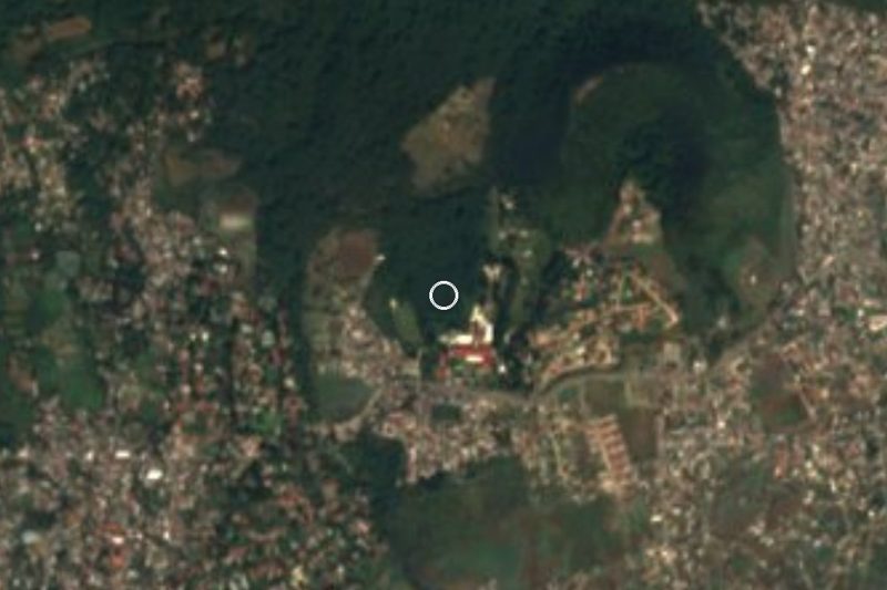
Anyone driving down from Cuernavaca toward Tepoztlán passes through Santa Catarina, often without realising it is a village of Nahua origin with its own full name: Santa Catarina Zacatepec, also Zacatepetl, "grass hill". Its land is held in common and its built-up area lies inside El Tepozteco National Park, with El Texcal state park to the south and Tepoztlán itself to the east. The 2020 census counted 5,552 people, and among the older residents Nahuatl is still spoken.
Dominican friars arrived during the colonisation and raised the church of Saint Catherine of Alexandria here in the early 17th century; it is the most visible piece of local heritage, with its bell tower and stone walls. In 1580 the village appears as Zacatepetlatl, and it belonged to Hernán Cortés's Marquesado del Valle de Oaxaca. Two springs lie to the south: the larger, called Alwazko, has a very old ahuehuete tree from whose roots, residents say, the water wells up, and the smaller, Texolotla, looks like a cave overgrown with vegetation.
The local economy mixes maize, tomatoes and cucumbers with the eateries strung along the road, where the dishes include pumpkin-seed mole verde or pipián, red mole, bean tamales and tlacoyos. Cultural life shows itself above all in dances: xochipitzahuac, pastoras, chinelos, tecuanes and tepalcuanes.
How to get to Santa Catarina
Drive from Cuernavaca: 20 min, 17 km
Santa Catarina sits on the Cuernavaca-Tepoztlán road at kilometre 10.5 according to the Morelos health ministry, about 11 km from Cuernavaca in a straight line and some 5 km from Tepoztlán. From Cuernavaca, leave by the La Paloma roundabout toward Ocotepec and continue past Lomas de Ahuatepec; this is the recommended route for those coming from southern Morelos or Guerrero, and takes about 40 minutes to Tepoztlán (21 km by the toll road, 18 km by the free one). From Mexico City, take the México-Cuernavaca highway and branch off toward Oaxtepec or Tepoztlán; it is about 15 minutes from the turn-off. By bus, direct Ometochtli services between Cuernavaca and Tepoztlán run every 30 minutes (about 35 pesos, 45 minutes), and Pullman de Morelos runs Tepoztlán to Taxqueña every 40 minutes (182 pesos when checked). Tell the driver you are getting off at Santa Catarina, since the road passes through the village; check times and fares at pullman.mx and ometochtli.com.
Directions to Santa Catarina on Google Maps
Distances are in a straight line; the road is usually longer.
Links open a partner site. We may earn a commission if you book, at no cost to you.
From the nearest cities to Santa Catarina
- Cuernavaca · 17 km by road, 20 min
- Cuautla · 33 km by road, 30 min
- Mexico City · 84 km by road, 1 h 20 min
Drive times by road from OpenStreetMap, without traffic or stops. Times marked ~ are estimated from the straight-line distance.
Visiting Santa Catarina: what to see and do
Step into the church of Santa Catalina de Alejandría, from the early 17th century.
Find the Alwazko spring and its ahuehuete tree, south of the village.
Look at the small spring, Texolotla, that resembles a cave.
Sit down at a roadside eatery for pumpkin-seed mole verde or bean tlacoyos.
Catch a chinelo, tecuan or pastoras dance if one is on.
Plan your trip
Places to stay in Santa Catarina
Compare hotels, posadas, and rentals in and around Santa Catarina.
Tours & activities
Day trips and guided outings from Tepoztlán often include Santa Catarina; with a local guide you can get there without a car.
Rental cars
Pick up a car at MEX (Mexico City): about 1 h 25 min by road to Tepoztlán, then 5 km more to Santa Catarina, on your own schedule.
Flights
The nearest airport with scheduled flights is Mexico City (MEX), about 1 h 25 min by road from Tepoztlán, the base for Santa Catarina.
Mobile data
Signal can drop away from Tepoztlán: download a map of the way to Santa Catarina before you set out, or carry an eSIM with data.
Links open a partner site. We may earn a commission if you book, at no cost to you.
Photos
When to go to Santa Catarina mild
Santa Catarina shares the climate of Tepoztlán, 5 km away. The best months to visit are January, February, March, and December.
See the month-by-month climate of Tepoztlán
Weather in Santa Catarina now and the next 7 days
Live forecast from Open-Meteo. Chance of rain is the day's highest.
The closest Pueblo Mágico: Tepoztlán

Tepoztlán is the Pueblo Mágico closest to Santa Catarina, with places to stay, food, and more to see.
Also close to
- Tlayacapan · Morelos · 17 km away
- Xochitepec · Morelos · 26 km away
- Tlaltizapán · Morelos · 31 km away
- Malinalco · Estado de México · 38 km away
- Metepec · Estado de México · 57 km away
Closest to Santa Catarina
-
San Andrés de la Cal · Village · 3 km away
-
Parque Nacional El Tepozteco · Nature reserve · 5 km away
-
Bosque Mirador · Nature reserve · 6 km away
-
Loma Bonita · Village · 6 km away
-
Loma Esmeralda · Village · 6 km away
-
Lomas del Pedregal · Village · 6 km away
-
Tetecolala · Village · 6 km away
-
Ciudad Industrial del Valle de Cuernavaca · Village · 7 km away

Near Santa Catarina



Drive times by road from OpenStreetMap, without traffic. Times marked ~ are estimated from the straight-line distance.
Location from OpenStreetMap. Written by Puebloteca.