5 parks and reserves · within 60 km
There are 5 parks and reserves within 60 km of Atlixco in a straight line, an hour or a little more by road. The closest is Cerro Zapotecas, 21 km away; the farthest, Parque nacional Xicoténcatl, is 50 km. They are all listed under Cholula, a Pueblo Mágico that makes a good base.
Parks and reserves are best on weekdays and early in the day. Bring water, and check the opening hours, since some close one day a week.
Best months, when most of these towns are dry with comfortable afternoons: Jan, Feb, Mar, Dec.
The Nature Parks 5
-
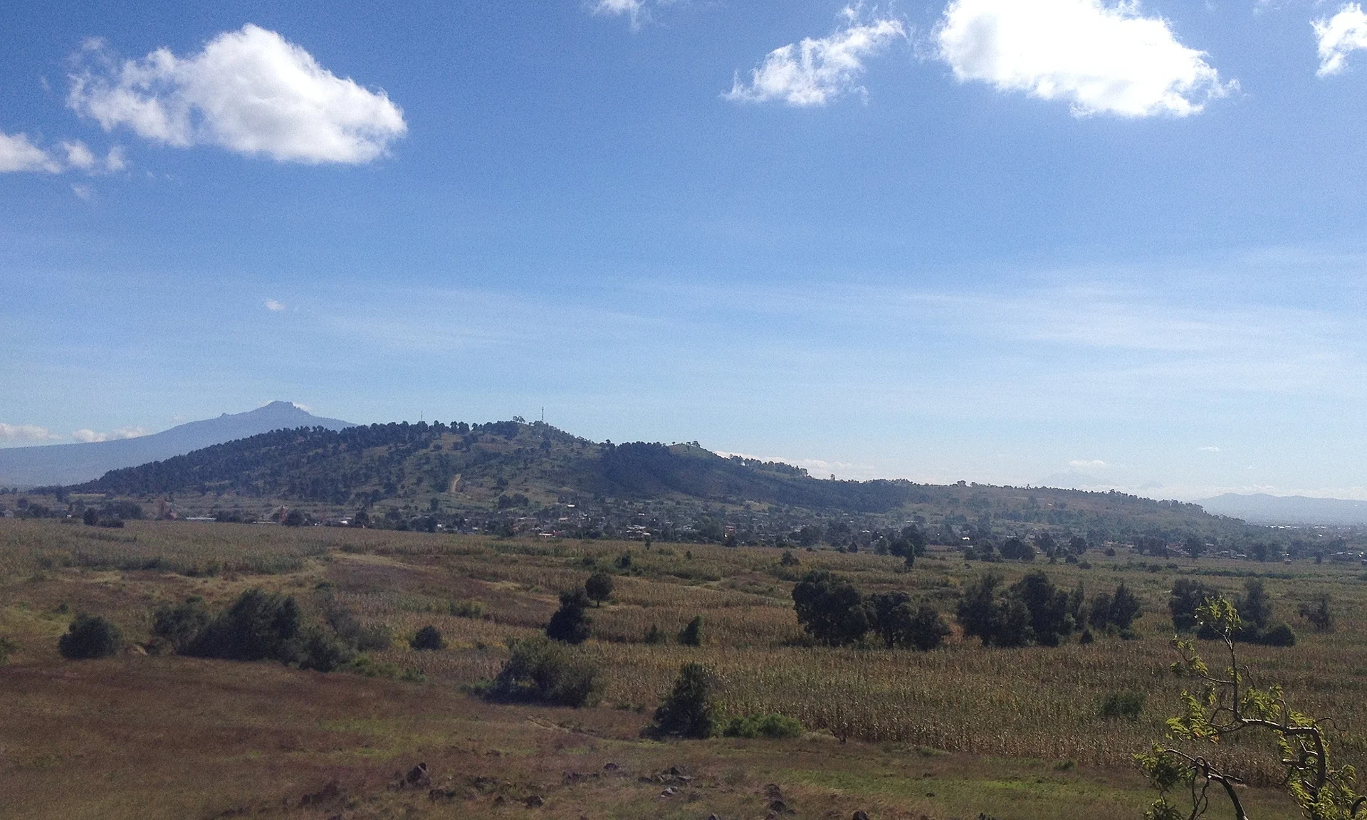
Cerro Zapotecas · Nature reserve · 21 km from Atlixco · Puebla
Volcanic hill of 2,380 m, 3 km from central Cholula, a state park since 2008, with pre-Hispanic remains and trails for hiking and biking. -
Cuenca del Valsequillo · Nature reserve · 31 km from Atlixco · Puebla
Basin south of Puebla city with the Valsequillo reservoir, the state's most important, and sites such as Hueyatlaco, at the heart of a long debate about the first Americans. -
Africam Safari · Nature reserve · 32 km from Atlixco · Near Cholula
A drive-through wildlife park south of Puebla where giraffes, rhinos and zebras roam large open enclosures. -
Parque Nacional Sacromonte · Nature reserve · 43 km from Atlixco · Estado de México
A 45-hectare sacred hill above Amecameca, a national park since 1939: the black Christ's cave shrine, a hilltop chapel and views of both volcanoes. -
Parque nacional Xicoténcatl · Nature reserve · 50 km from Atlixco · Tlaxcala
A 1937 national park covering Tlaxcala's historic centre, the Zahuapan River and the hills of three of the old Tlaxcalan lordships.


On the map
Distances are in a straight line; roads add about a third.
Where to stay
The Pueblos Mágicos these places are closest to, each with hotels, food and getting-there notes.

More places like these
More around Atlixco
Nature Parks elsewhere
Names and locations from OpenStreetMap; notes and write-ups are our own.