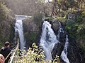
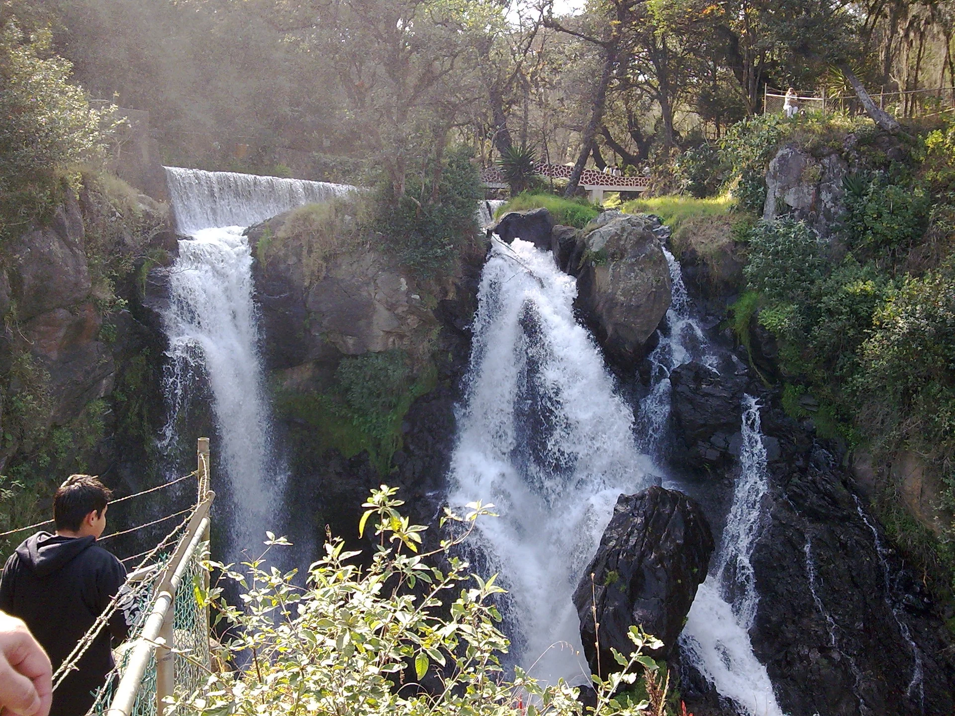
6 waterfalls · within 60 km
There are 6 waterfalls within 60 km of Tlaxco in a straight line, an hour or a little more by road. The closest is Cascada Monumental, 32 km away; the farthest, Cascadas la Morena, is 60 km. They are listed under the Pueblos Mágicos of Zacatlán, Chignahuapan, and Tetela de Ocampo, which make good bases.
Waterfalls run fullest in the rainy season, roughly June to October, and the water is clearest from November to February. In the driest months, March to May, some shrink to a trickle.
Best months, when most of these towns are dry with comfortable afternoons: Jan, Feb, Mar, Apr.
The Waterfalls 6
-
Cascada Monumental · Waterfall · 32 km from Tlaxco · Puebla
Big drop of the Quetzalapan river between Zacatlán and Chignahuapan, by the Salto de Quetzalapan park: 365 steps, ziplines and an old power plant. -
Cascadas de Tulimán · Waterfall · 32 km from Tlaxco · Near Zacatlán
Ejido-run park on the same river as Quetzalapan: a roughly 300-meter fall in three drops, a warm mineral pool and hanging bridges. -
Salto de Quetzalapan · Waterfall · 32 km from Tlaxco · Near Chignahuapan
Chignahuapan's big waterfall, a drop of around 200 meters reached by a long stone staircase, with zip lines and rappelling. -
Cascada de San Pedro · Waterfall · 38 km from Tlaxco · Near Zacatlán
The closest waterfall to Zacatlán, a graceful drop of about 20 meters in a wooded ravine on the edge of town. -
Cascadas de Aconco · Waterfall · 42 km from Tlaxco · Near Tetela de Ocampo
Two tall waterfalls in the Xaltatempa canyon, run by a community group with cabins, trout, a zip line and rappelling. -
Cascadas la Morena · Waterfall · 60 km from Tlaxco · Puebla
A 30-metre-plus waterfall in a forest eco-park outside Huauchinango, at km 191 of the Mexico–Tuxpan road, with guided hikes and camping.

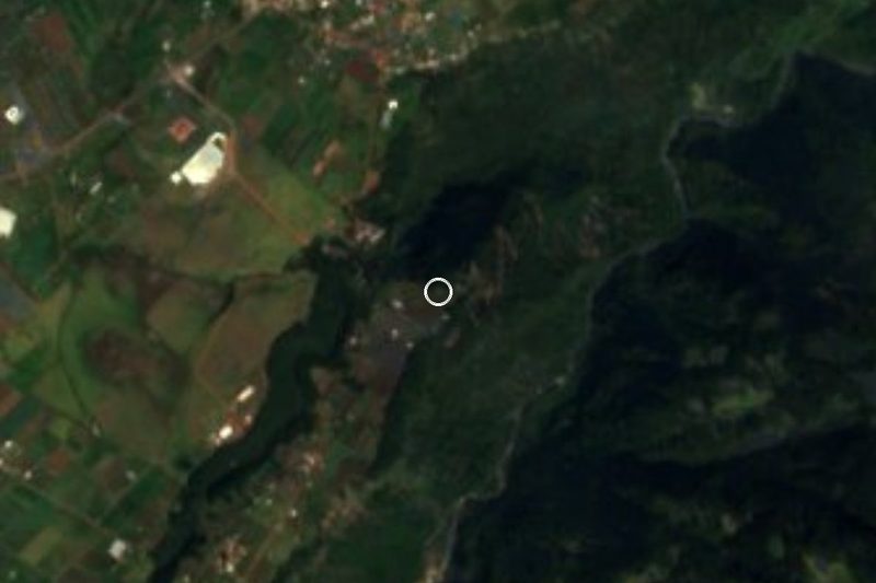


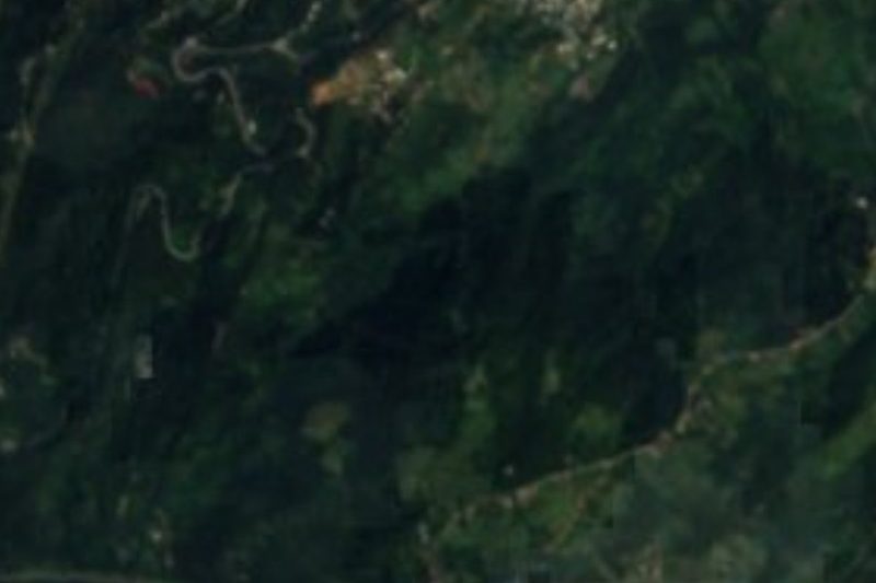
On the map
Distances are in a straight line; roads add about a third.
Where to stay
The Pueblos Mágicos these places are closest to, each with hotels, food and getting-there notes.


More places like these
More around Tlaxco
Waterfalls elsewhere
Names and locations from OpenStreetMap; notes and write-ups are our own.