Town Mexicali, Baja California Municipality of Mexicali
Mexico's northernmost town, across from Andrade, California: hundreds of dentists, pharmacies and opticians a few blocks from the crossing.
From San Luis Río Colorado: about 35 min by road (~40 km) How to get there ↓
Plan your visit to Los Algodones
Where to stay near Los Algodones
Compare hotels, posadas and guest houses in Los Algodones.
Tours to Los Algodones
Day trips around Baja California sometimes stop in Los Algodones; a tour is the easy way to see it without a car.
How to get to Los Algodones
- From San Luis Río Colorado: about 35 min by road (~40 km)
Links open a partner site. We may earn a commission if you book, at no cost to you.
About Los Algodones
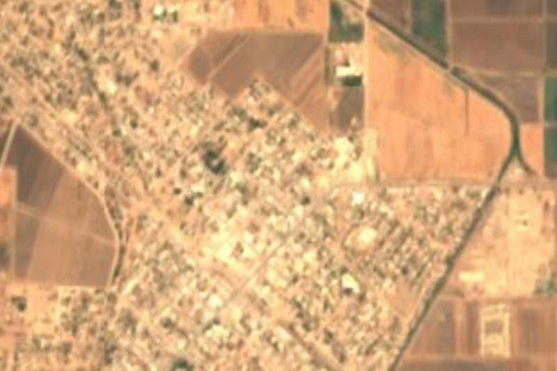
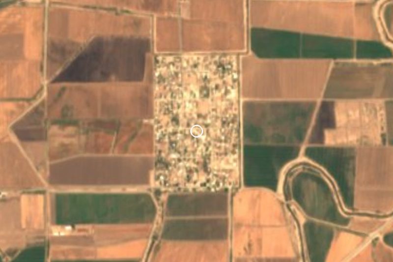
Los Algodones, officially Vicente Guerrero, is the seat of a borough of Mexicali municipality in the far northeast corner of Baja California. It sits 33 meters above sea level and had 6,796 people in 2020. It is the northernmost town in Mexico, with the US border wrapping around its north and east sides, so you could head off in any of the four compass directions and hit the United States. Across the gate is Andrade, California, about 16 km west of Yuma, Arizona. Nobody knows where the name, "the cotton plants", came from; a local symposium in 1995 settled on July 27, 1894 as a symbolic founding date.
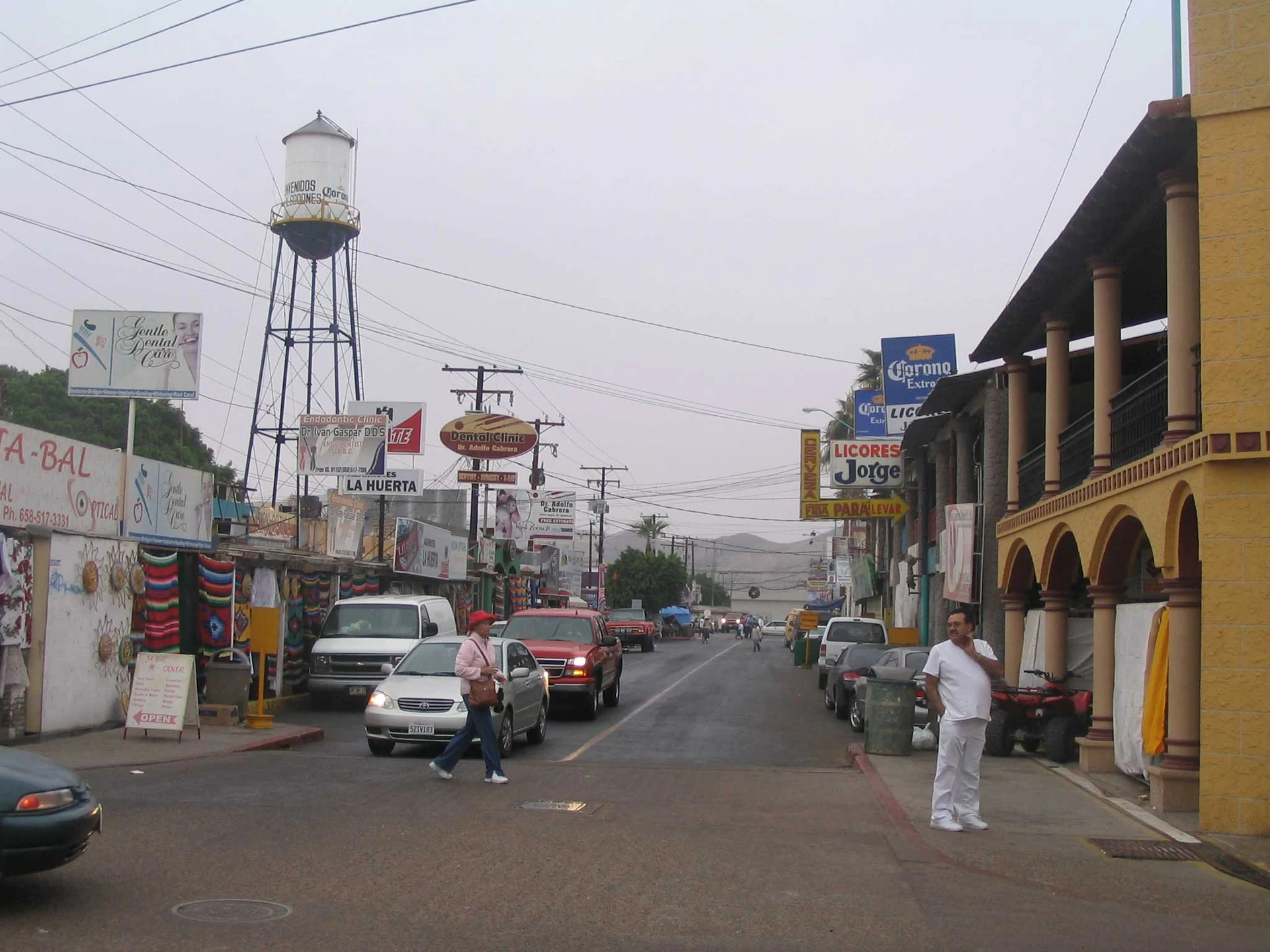
Only 531 people lived here in 1970. From the 1980s on, dental offices, opticians and pharmacies steadily took over the open-air shops and restaurants by the line, and the town turned from souvenirs to medicine. It is now nicknamed Molar City: estimates run from 350 to 600 dentists and over 300 clinics, nearly all within four blocks of the crossing, with English-speaking staff and US phone numbers. A root canal can cost around US$280 here against more than US$1,000 in the States.
Most patients are retirees from the US and Canada who winter in Yuma and Winterhaven, so winter is the busy season. Summer is brutal, with July and August highs averaging over 41 °C and a record of 50 °C; January highs are around 21 °C, and the year brings about 60 mm of rain. Between appointments there are still craft stalls, restaurants and frequent fiestas, especially at Christmas.
How to get to Los Algodones
From San Luis Río Colorado, the nearest city, it is 50 min and 41 km by road: leave on Federal Highway 2 toward Mexicali and, before the Colorado River bridge, turn north on state highway 2 (the Algodones road) for about 28 km of farmland into town. From Mexicali it is 1 h 20 min and 91 km east on Highway 2 to the same junction. By bus, Transportes Miguel Siga runs between Mexicali and Los Algodones. From the US, take Interstate 8 and State Route 186 to Andrade; parking on the US side and walking across is usually easier and cheaper. YCAT's Blue 5 route, Yuma's public bus, stops at the Andrade port of entry Monday to Saturday.
Directions to Los Algodones on Google Maps
Distances are in a straight line; the road is usually longer.
Links open a partner site. We may earn a commission if you book, at no cost to you.
From the nearest cities to Los Algodones
- San Luis Río Colorado · about 40 km by road, ~35 min
- Mexicali · about 90 km by road, ~1 h 20 min
- Tecate · about 230 km by road, ~3 h 25 min
Drive times by road from OpenStreetMap, without traffic or stops. Times marked ~ are estimated from the straight-line distance.
Before you go to Los Algodones: hours, prices and tips
- Hours
- The Andrade port of entry is open daily 6 am to 10 pm Pacific time; you need a passport or passport card to return to the US. U.S. Customs and Border Protection · checked Oct 2026
- Best time of day
- November to March, when the weather is mild; summer highs top 40 °C. Wikipedia (en) · checked Oct 2026
Hours and prices change, especially around holidays. Each fact links to where we checked it.
Visiting Los Algodones: what to see and do
The Andrade-Los Algodones crossing, on foot
The four blocks of dental offices, opticians and pharmacies by the border
Calle Dos and its water tower
The craft shops and restaurants downtown
The town's Christmas fiestas
Plan your trip
Places to stay in Los Algodones
Compare hotels, posadas, and rentals in and around Los Algodones.
Tours & activities
Day trips around Baja California sometimes stop in Los Algodones; a tour is the easy way to see it without a car.
Mobile data
Signal can drop away from Baja California: download a map of the way to Los Algodones before you set out, or carry an eSIM with data.
Links open a partner site. We may earn a commission if you book, at no cost to you.
Near Los Algodones
-
San Luis Río Colorado · City
~35 min drive · 31 km -
Mexicali · City
~1 h 20 min drive · 71 km

Drive times by road from OpenStreetMap, without traffic. Times marked ~ are estimated from the straight-line distance.
Location from OpenStreetMap. Written by Puebloteca.