Village Mexicali, Baja California Municipality of Mexicali
A 1937 ejido granted to the Cucapá people in the southern Mexicali Valley, between Highway 5, the Hardy River and the Cucapá range.
From Mexicali: about 50 min by road (~60 km) How to get there ↓
Near here
See everything nearby ↓


Plan your visit to Ejido Cucapah Indígena
Where to stay near Ejido Cucapah Indígena
Compare hotels, posadas and guest houses in Ejido Cucapah Indígena.
Tours to Ejido Cucapah Indígena
Day trips and guided outings from Baja California often include Ejido Cucapah Indígena; with a local guide you can get there without a car.
How to get to Ejido Cucapah Indígena
- From Mexicali: about 50 min by road (~60 km)
Links open a partner site. We may earn a commission if you book, at no cost to you.
About Ejido Cucapah Indígena
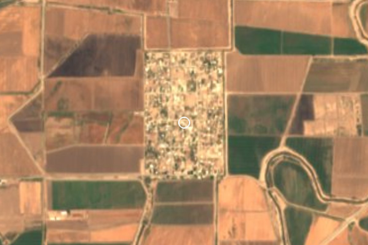
Ejido Cucapah Indígena is a farming settlement in the southern Mexicali Valley, 8 meters above sea level, with 678 people and 229 homes at the 2020 census. It lies east of Federal Highway 5 among irrigated fields, with the Cucapá range to the west; the Hardy River, an arm of the Colorado delta, runs farther south.
Its name tells its origin. In January 1937 the land invasion known as the Asalto a las Tierras forced the expropriation of the Colorado River Land Company's holdings, and by the end of that year 140,000 hectares had been handed out to 44 communities in the valley. The Cucapá, the Yuman people who had lived for centuries by fishing, hunting and planting along the delta's banks, received two neighboring ejidos: Cucapá Mestizo and this one, granted 2,160 hectares by presidential resolution on May 5, 1937, with the aim of giving each member of the tribe a plot. The grant was less than a quarter of the land they had used before, and over the years many Cucapá ejidatarios sold or walked away from their plots; some of the families who founded the ejido moved to Pozas de Arvizu, on the Sonora side of the river, or to the United States.
The Cucapá are still here, though few: the 2020 census counted 349 in Mexico, and their language is endangered. Their best-known settlement is the indigenous community of El Mayor, about 20 km south on Highway 5 at the foot of Cerro El Mayor beside the Hardy River, where families fish for Gulf corvina and women make beaded chaquira breastplates. El Mayor is home to the Museo Comunitario Cucapá Juan García Aldama, the first indigenous community museum in Baja California, which turned 34 in 2025 and was in need of repairs.
How to get to Ejido Cucapah Indígena
From Mexicali, head south on Boulevard Adolfo López Mateos and Federal Highway 5 (Mexicali–San Felipe); after about 31 km turn east onto the La Puerta road (BC 10) and then the El Faro access road, which leads to the ejido: 45 min and 48 km by road. Tecate, the nearest Pueblo Mágico, is 2 h 20 min and 165 km away. Buses between Mexicali and San Felipe run along Highway 5 but do not enter the ejido, and there is no documented public transport to the village; come by car or taxi.
Directions to Ejido Cucapah Indígena on Google Maps
Distances are in a straight line; the road is usually longer.
Links open a partner site. We may earn a commission if you book, at no cost to you.
From the nearest cities to Ejido Cucapah Indígena
- Mexicali · about 60 km by road, ~50 min
- San Luis Río Colorado · about 70 km by road, ~1 h
- Tecate · about 170 km by road, ~2 h 30 min
Drive times by road from OpenStreetMap, without traffic or stops. Times marked ~ are estimated from the straight-line distance.
Visiting Ejido Cucapah Indígena: what to see and do
Drive through the irrigated fields of the southern Mexicali Valley, with the Cucapá range behind.
Continue about 20 km south to the Cucapá community of El Mayor, by the Hardy River.
Visit the Museo Comunitario Cucapá Juan García Aldama in El Mayor.
Buy beaded chaquira breastplates and other pieces made by Cucapá women.
Plan your trip
Places to stay in Ejido Cucapah Indígena
Compare hotels, posadas, and rentals in and around Ejido Cucapah Indígena.
Tours & activities
Day trips and guided outings from Baja California often include Ejido Cucapah Indígena; with a local guide you can get there without a car.
Mobile data
Signal can drop away from Baja California: download a map of the way to Ejido Cucapah Indígena before you set out, or carry an eSIM with data.
Links open a partner site. We may earn a commission if you book, at no cost to you.
Closest to Ejido Cucapah Indígena
-
Ingeniero Luis B. Sánchez · Town · 30 km away
-
La Chinesca · Landmark · 45 km away
-
Cañón de Guadalupe · Hot springs · 49 km away
Near Ejido Cucapah Indígena
-
Mexicali · City
~50 min drive · 45 km -
San Luis Río Colorado · City
~1 h drive · 52 km -
Reserva de la Biosfera Alto Golfo de California y Delta del Río Colorado · Nature reserve · Sonora
~1 h 50 min drive · 94 km


Drive times by road from OpenStreetMap, without traffic. Times marked ~ are estimated from the straight-line distance.
Location from OpenStreetMap. Written by Puebloteca.