Nature reserve San Luis Río Colorado, Sonora Municipality of San Luis Río Colorado
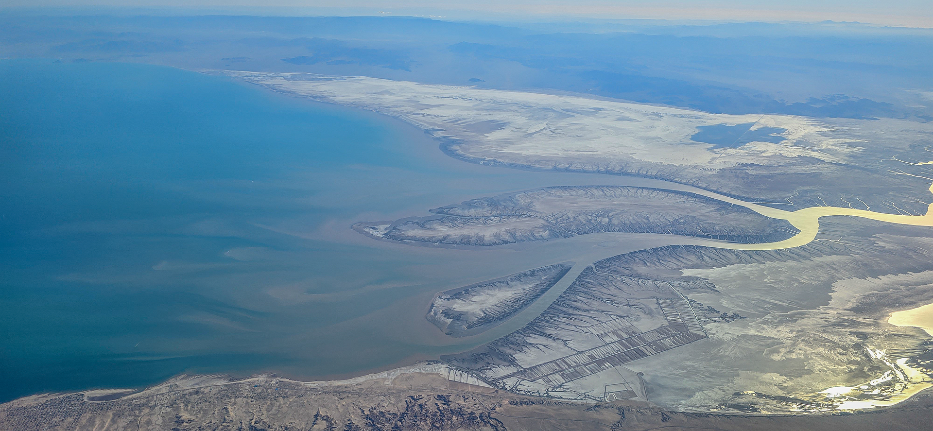
The head of the Gulf of California and the Colorado River delta, last refuge of the vaquita, entered from the fishing town of El Golfo de Santa Clara.
From San Luis Río Colorado: about 1 h 35 min by road (~105 km) How to get there ↓
Plan your visit to Reserva de la Biosfera Alto Golfo de California y Delta del Río Colorado
Where to stay near Reserva de la Biosfera Alto Golfo de California y Delta del Río Colorado
Compare hotels, posadas and guest houses in Reserva de la Biosfera Alto Golfo de California y Delta del Río Colorado.
Tours to Reserva de la Biosfera Alto Golfo de California y Delta del Río Colorado
Day trips and guided outings from Sonora often include Reserva de la Biosfera Alto Golfo de California y Delta del Río Colorado; with a local guide you can get there without a car.
How to get to Reserva de la Biosfera Alto Golfo de California y Delta del Río Colorado
- From San Luis Río Colorado: about 1 h 35 min by road (~105 km)
Links open a partner site. We may earn a commission if you book, at no cost to you.
About Reserva de la Biosfera Alto Golfo de California y Delta del Río Colorado
This reserve covers the northern tip of the Gulf of California, where the Colorado River reaches the sea between Sonora and Baja California. It was decreed on June 10, 1993, joined UNESCO's Man and the Biosphere programme in 1995, and in 2005 became part of the Islands and Protected Areas of the Gulf of California World Heritage Site, now on the List of World Heritage in Danger. It spans 934,756 hectares, nearly all of it sea. The 164,779-hectare core zone is the delta itself, a roadless plain of mud that floods at high tide. Its land falls in the municipalities of Mexicali, San Luis Río Colorado and Puerto Peñasco.
This is the only home of the vaquita, a small, endangered porpoise found nowhere else. Vaquitas drown in gillnets set illegally for totoaba, a fish whose swim bladder fetches high prices in Asia. The 2025 survey, using acoustic detectors from May to September and ships in September, put the population at 7 to 10 animals and spotted at least one calf. The same waters hold about 18 kinds of marine mammals, blue whales among them, 149 fish species, five sea turtles and some 315 bird species.
On land, the Ciénega de Santa Clara is the delta's largest surviving wetland, about 18,000 hectares fed by salty farm runoff carried from Arizona through a canal built in 1972. It holds the largest population of the Yuma Ridgway's rail and draws hundreds of thousands of migrating birds, and the Luis Encinas Johnson ejido runs it for ecotourism. The way in is El Golfo de Santa Clara, a fishing settlement founded in 1966 with 4,618 people in 2020, known for seafood and sand dunes such as El Machorro, about 50 m high.
How to get to Reserva de la Biosfera Alto Golfo de California y Delta del Río Colorado
From San Luis Río Colorado, the nearest city, state highway 40 runs south to El Golfo de Santa Clara on the edge of the reserve: 1 h 15 min and 88 km by road. About 12 km from town, beside the highway, is the Colorado River delta lookout. From Puerto Peñasco, state highway 3 follows the coast for about 146 km, roughly an hour and a half, and ABC buses run that route. The Ciénega de Santa Clara wetland is about 85 km southwest of San Luis Río Colorado. The delta itself has no roads; the sea is reached by boat from El Golfo with certified guides.
Distances are in a straight line; the road is usually longer.
Links open a partner site. We may earn a commission if you book, at no cost to you.
From the nearest cities to Reserva de la Biosfera Alto Golfo de California y Delta del Río Colorado
- San Luis Río Colorado · about 105 km by road, ~1 h 35 min
- Puerto Peñasco · about 140 km by road, ~2 h 5 min
- Mexicali · about 180 km by road, ~2 h 40 min
Drive times by road from OpenStreetMap, without traffic or stops. Times marked ~ are estimated from the straight-line distance.
Before you go to Reserva de la Biosfera Alto Golfo de California y Delta del Río Colorado: hours, prices and tips
- Best season
- October to April for birdwatching at the Ciénega de Santa Clara; summer heat can reach 50 °C. Zona Turística · checked Oct 2026
- Rules
- Tours inside the reserve must use certified guides. México Desconocido · checked Oct 2026
Hours and prices change, especially around holidays. Each fact links to where we checked it.
Visiting Reserva de la Biosfera Alto Golfo de California y Delta del Río Colorado: what to see and do
The Colorado River delta lookout on the road to El Golfo
A boat trip with a certified guide to see dolphins, sea lions and, with luck, whales
The Ciénega de Santa Clara by canoe, with its trail and campsite
Birdwatching, October to April
El Machorro, a dune about 50 m high overlooking the gulf
The beaches of El Golfo de Santa Clara
Clams, octopus, oysters and fish tacos in town
Plan your trip
Places to stay in Reserva de la Biosfera Alto Golfo de California y Delta del Río Colorado
Compare hotels, posadas, and rentals in and around Reserva de la Biosfera Alto Golfo de California y Delta del Río Colorado.
Tours & activities
Day trips and guided outings from Sonora often include Reserva de la Biosfera Alto Golfo de California y Delta del Río Colorado; with a local guide you can get there without a car.
Travel insurance
If you plan on hiking at Reserva de la Biosfera Alto Golfo de California y Delta del Río Colorado, check that your policy covers it: some plans leave adventure activities out.
Mobile data
Signal can drop away from Sonora: download a map of the way to Reserva de la Biosfera Alto Golfo de California y Delta del Río Colorado before you set out, or carry an eSIM with data.
Links open a partner site. We may earn a commission if you book, at no cost to you.
Closest to Reserva de la Biosfera Alto Golfo de California y Delta del Río Colorado
-
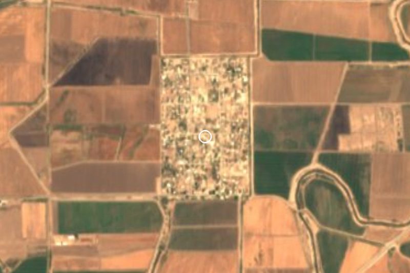
Golfo de Santa Clara · Village · 7 km away

Near Reserva de la Biosfera Alto Golfo de California y Delta del Río Colorado
-
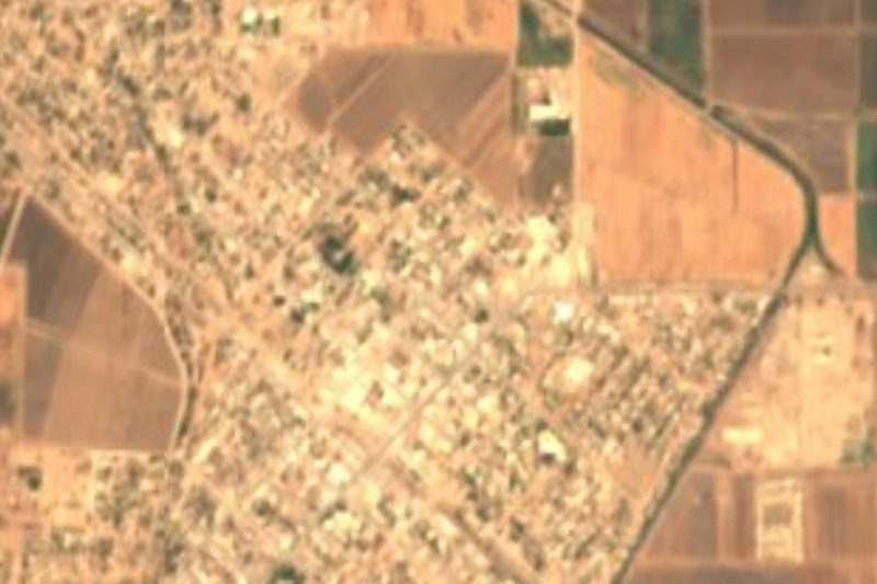
San Luis Río Colorado · City
~1 h 35 min drive · 81 km -
Reserva de la Biosfera El Pinacate y Gran Desierto de Altar · Nature reserve · Sonora
~1 h 35 min drive · 82 km

Drive times by road from OpenStreetMap, without traffic. Times marked ~ are estimated from the straight-line distance.
Lists with Reserva de la Biosfera Alto Golfo de California y Delta del Río Colorado
Nature Parks in Sonora · 7Location from OpenStreetMap. Written by Puebloteca.