Village Puerto Peñasco, Sonora Municipality of Puerto Peñasco
Beach-house village at Puerto Peñasco's north-west tip: a bay that drains at low tide, a protected estuary, a boat launch and an old American colony.
From Puerto Peñasco: about 10 min by road (~15 km) How to get there ↓
Near here
See everything nearby ↓


Plan your visit to Bahía La Choya
Where to stay near Bahía La Choya
Compare hotels, posadas and guest houses in Bahía La Choya.
Tours to Bahía La Choya
Day trips and guided outings from Sonora often include Bahía La Choya; with a local guide you can get there without a car.
How to get to Bahía La Choya
- From Puerto Peñasco: about 10 min by road (~15 km)
Links open a partner site. We may earn a commission if you book, at no cost to you.
About Bahía La Choya
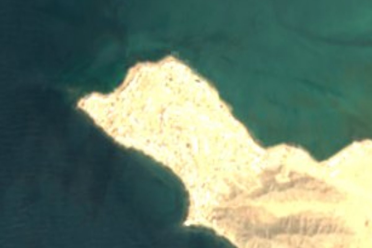
La Choya, Cholla Bay to Americans, is the village at the north-west tip of Puerto Peñasco, where the shore hooks round to enclose a bay. Past the last Sandy Beach towers come caliche streets, beach houses and boats parked in driveways. About 130 people live here year-round, but in holiday seasons the population tops 5,000, nearly all of them Americans.
Fishermen came in the 1930s or 1940s. The land, some 3,374 acres that also took in today's Sandy Beach, was titled to Duncan Brown in 1941, and in 1956 his widow sold it to Gustavo Brown Sr. The port in town was then more estuary than harbour and boats could not be launched there, so Arizona anglers began leasing lots at Cholla to keep their boats. Cabins followed, then outright purchase of the lots, and once electricity finally arrived in the mid-1990s, bigger houses went up. Today there are over 1,250 lots.
The tide is what shapes the place. The gap between high and low water is huge, and on the lowest tides the whole bay drains, leaving waterfront homes facing a plain of sand and mud where sand dollars, baby octopus and squid turn up. At high water the bay is calm enough for swimming and windsurfing. Next door, the La Choya estuary is protected for its marine life and migrating birds, and above the houses rises La Loma, the white-rock Cerro de La Choya, about 100 m high. On the west side, a path between houses leads to Tucson Beach, a rocky shore where sea lions often haul out.
Residents run their own clubs: Vecinos de la Cholla owns the clubhouse and holds a yearly Christmas party for the children of local Mexican families, and the Cholla Bay Sportsmen's Club provides marine rescue for the upper gulf. There are a few restaurants, two small markets, a motel, a tackle shop and JJ's Cantina beside the boat launch.
How to get to Bahía La Choya
La Choya is 20 minutes and 13 km by road from downtown Puerto Peñasco. From town, head north-west on the paved road that runs along Sandy Beach past the resorts; close to the village the paving ends and the streets turn to caliche. We found no bus or combi to La Choya: come by car or by taxi from Puerto Peñasco, which buses reach on Highway 8.
Directions to Bahía La Choya on Google Maps
Distances are in a straight line; the road is usually longer.
Links open a partner site. We may earn a commission if you book, at no cost to you.
From the nearest cities to Bahía La Choya
- Puerto Peñasco · about 15 km by road, ~10 min
- Caborca · about 205 km by road, ~3 h
- San Luis Río Colorado · about 210 km by road, ~3 h 5 min
Drive times by road from OpenStreetMap, without traffic or stops. Times marked ~ are estimated from the straight-line distance.
Before you go to Bahía La Choya: hours, prices and tips
- Rules
- On very low tides along this coast some of the mud is soft enough to trap people, ATVs and vehicles, and the water comes back fast: check a tide table before walking out on the bay. Rocky Point Times · checked Oct 2026
Hours and prices change, especially around holidays. Each fact links to where we checked it.
Visiting Bahía La Choya: what to see and do
Walk the drained bay on a very low tide, looking for sand dollars and baby octopus
Swim or windsurf at high tide in the bay's still water
Watch migrating birds at the La Choya estuary
Climb La Loma, the white-rock hill above the village
Look for sea lions on the rocks at Tucson Beach
Go fishing from the boat launch by JJ's Cantina
Plan your trip
Places to stay in Bahía La Choya
Compare hotels, posadas, and rentals in and around Bahía La Choya.
Tours & activities
Day trips and guided outings from Sonora often include Bahía La Choya; with a local guide you can get there without a car.
Mobile data
Signal can drop away from Sonora: download a map of the way to Bahía La Choya before you set out, or carry an eSIM with data.
Links open a partner site. We may earn a commission if you book, at no cost to you.
Closest to Bahía La Choya
-
Sandy Beach · Beach · 6 km away
-
Puerto Peñasco · City · 10 km away
-
Las Conchas · Village · 15 km away
Near Bahía La Choya
-
Reserva de la Biosfera El Pinacate y Gran Desierto de Altar · Nature reserve · Sonora
~1 h 15 min drive · 65 km -
Reserva de la Biosfera Alto Golfo de California y Delta del Río Colorado · Nature reserve · Sonora
~1 h 50 min drive · 97 km



Drive times by road from OpenStreetMap, without traffic. Times marked ~ are estimated from the straight-line distance.
Location from OpenStreetMap. Written by Puebloteca.