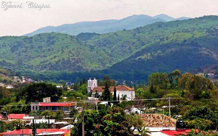
Town Tzimol, Chiapas Municipality of Tzimol Comitán and the Montebello Lakes
Town of about 6,400 at 1,366 m, 12 km from Comitán, with the sabino-shaded Ojo de Agua park and a gateway to the San Vicente river.
From Comitán: about 10 min by road (~15 km) How to get there ↓
Near here
See everything nearby ↓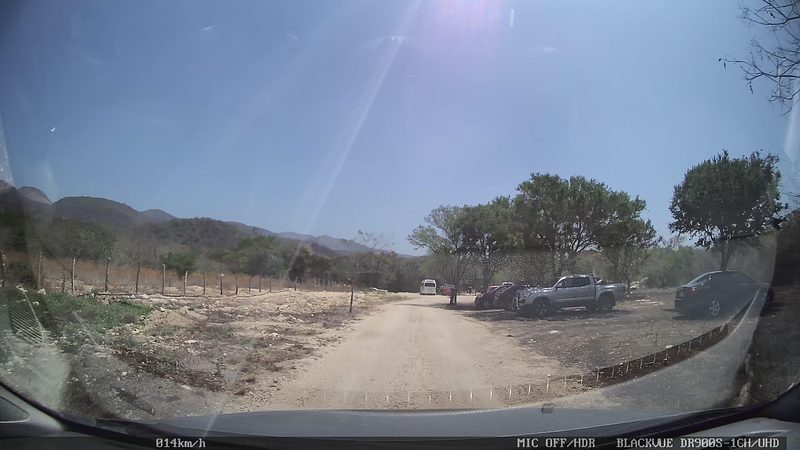



Plan your visit to Tzimol
Where to stay near Tzimol
Compare hotels, posadas and guest houses in Tzimol.
Tours to Tzimol
Day trips around Comitán sometimes stop in Tzimol; a tour is the easy way to see it without a car.
 Tours from San Cristóbal de las Casas
Customs of indigenous villages of Chiapas
★ 4.9 (83) · From US$72
How to get to Tzimol
- From Comitán: about 10 min by road (~15 km)
- Nearest airport: Tuxtla Gutiérrez (TGZ), 2 h 37 min by car to Comitán
Links open a partner site. We may earn a commission if you book, at no cost to you.
Tours from San Cristóbal de las Casas, near Tzimol


Tours, prices and ratings from Viator, checked weekly. We may earn a commission if you book.
About Tzimol
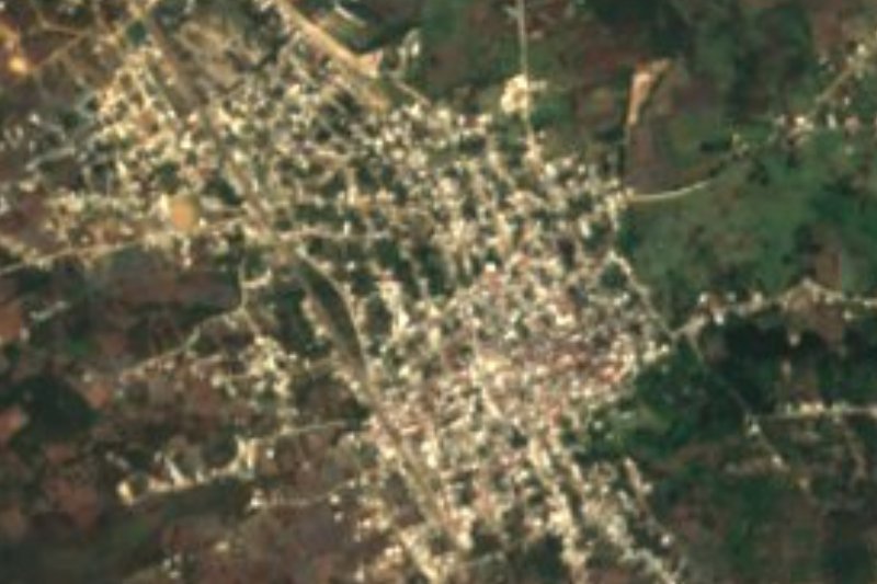
Tzimol is a town of 6,441 people (2020 census) at 1,366 metres, in the San Vicente river basin a few kilometres from Comitán. The name comes from Tojolabal ts'i', dog. Its people trace their roots to the old inhabitants of Escuintenango, a vanished village on the upper Grijalva, and some researchers say families from Comitán (Gordillo, Abadía, Pinto and Guillén) founded hamlets in the area that later blended with Tojolabal people.
Life centres on the main park and the churches of Santo Domingo, Guadalupe, El Rosario and San Cristobalito. About 3 km away by dirt road, passable for ordinary cars, is the Ojo de Agua park, where the spring that feeds the San Vicente river rises: huge sabino trees, natural pools, palapas with grills and a small chapel to the Holy Cross. Since 2023 it has a zip line, a short one for children aged 4 to 12 and a 120 m line, 8 m high, for teenagers and adults. On 3 May, Holy Cross day, pilgrims from nearby villages come for the religious fair at Ojo de Agua. Close by is La Rejoya, with palapas by the river and the old bridge.
The area makes panela (raw cane sugar) and cane spirit in cane fields you can tour, and weaves petate mats and royal-palm crafts. Tours leave from Tzimol for Las Tres Tzimoleras, waterfalls on private land, and the turn-off to the El Chiflón falls, which has its own page. Beds are at Hotel Tzimol, Canto del Agua or El Dorado, and meals at La Palapa de Modin.
How to get to Tzimol
Tzimol is 20 minutes and 16 km by road from Comitán, the nearest city and the nearest Pueblo Mágico; the road continues toward the El Chiflón falls, so many visitors pass through on the way. By public transport, colectivos run from the centre of Comitán every 10 minutes from 6 am to 8 pm (weekends until 5 pm), at a reference fare of about 23 pesos; confirm the price with the driver. A taxi takes 15 to 20 minutes and costs 200 to 300 pesos. From Tzimol's main park to Ojo de Agua it is 3 km of dirt road, fine for an ordinary car or a mototaxi. Las Tres Tzimoleras are about 11 km of dirt track that only a 4x4, horse or your own feet can handle, so go with the tour that leaves from the office beside the park, behind the church.
Directions to Tzimol on Google Maps
Distances are in a straight line; the road is usually longer.
Links open a partner site. We may earn a commission if you book, at no cost to you.
From the nearest cities to Tzimol
- Comitán · about 15 km by road, ~10 min
- San Cristóbal de las Casas · about 100 km by road, ~1 h 30 min
- Tuxtla Gutiérrez · about 155 km by road, ~2 h 15 min
Drive times by road from OpenStreetMap, without traffic or stops. Times marked ~ are estimated from the straight-line distance.
Before you go to Tzimol: hours, prices and tips
- Best season
- Holy Cross religious fair at Ojo de Agua every 3 May. Wikipedia (es): Tzimol · checked Oct 2026
- What to bring
- Ojo de Agua asks visitors to take their rubbish with them; wildlife lives in the park. tzimol.com · checked Oct 2026
Hours and prices change, especially around holidays. Each fact links to where we checked it.
Visiting Tzimol: what to see and do
Ojo de Agua, 3 km by dirt road: sabino trees, natural pools and the Santa Cruz chapel.
The Ojo de Agua zip line (since 2023).
The La Rejoya recreation area and the old bridge over the San Vicente river.
The churches of Santo Domingo, Guadalupe, El Rosario and San Cristobalito.
The cane fields where panela and cane spirit are made.
Las Tres Tzimoleras, waterfalls on private land, with tours from the town.
Plan your trip
Places to stay in Tzimol
Compare hotels, posadas, and rentals in and around Tzimol.
Tours & activities
Day trips around Comitán sometimes stop in Tzimol; a tour is the easy way to see it without a car.
Rental cars
Pick up a car at TGZ (Tuxtla Gutiérrez): about 2 h 37 min by road to Comitán, then 10 km more to Tzimol, on your own schedule.
Flights
The nearest airport with scheduled flights is Tuxtla Gutiérrez (TGZ), about 2 h 37 min by road from Comitán, the base for Tzimol.
Mobile data
Signal can drop away from Comitán: download a map of the way to Tzimol before you set out, or carry an eSIM with data.
Links open a partner site. We may earn a commission if you book, at no cost to you.
When to go to Tzimol mild
Tzimol shares the climate of Comitán, 10 km away. The best months to visit are January, February, March, and December.
See the month-by-month climate of Comitán
Weather in Tzimol now and the next 7 days
Live forecast from Open-Meteo. Chance of rain is the day's highest.
The closest Pueblo Mágico: Comitán

Comitán is the Pueblo Mágico closest to Tzimol, with places to stay, food, and more to see.
Also close to
- San Cristóbal de Las Casas · Chiapas · 79 km away
Closest to Tzimol
-
Cenote Chukumaltik · Cenote · 7 km away
-
Tenam Puente · Archaeological site · 9 km away
-
El Chiflón · Waterfall · 10 km away
-
La Trinitaria · Town · 15 km away
-
Las Margaritas · Town · 26 km away
-
Chinkultic · Archaeological site · 43 km away
-
Amatenango del Valle · Town · 47 km away
-
Lagos de Montebello · Lake · 48 km away


Near Tzimol


Drive times by road from OpenStreetMap, without traffic. Times marked ~ are estimated from the straight-line distance.
Location from OpenStreetMap. Written by Puebloteca.