

Town Urique, Chihuahua Municipality of Urique Copper Canyon
A 1690 mining town at about 550 m on the floor of Mexico's deepest canyon, finish line of the Ultra Caballo Blanco run with Rarámuri runners.
From Guasave: about 3 h 40 min by road (~245 km) How to get there ↓
Near here
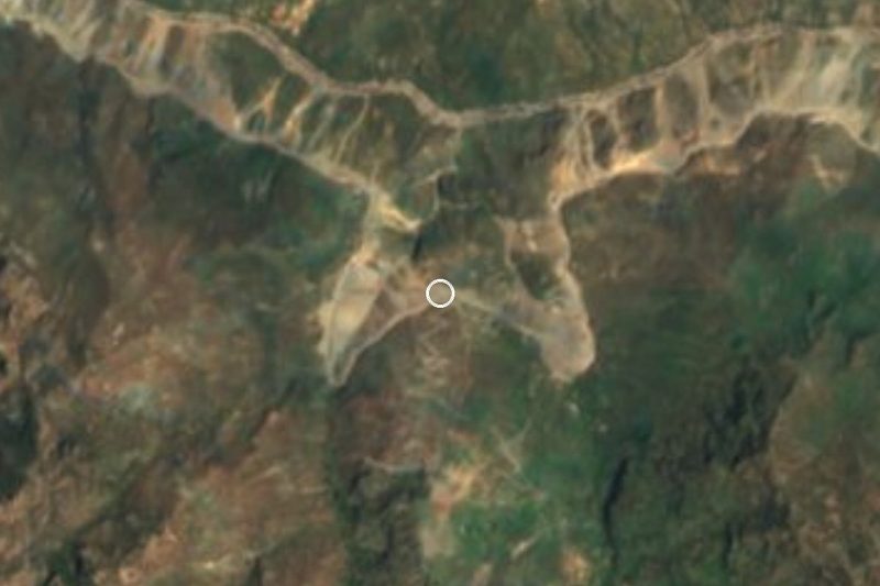
See everything nearby ↓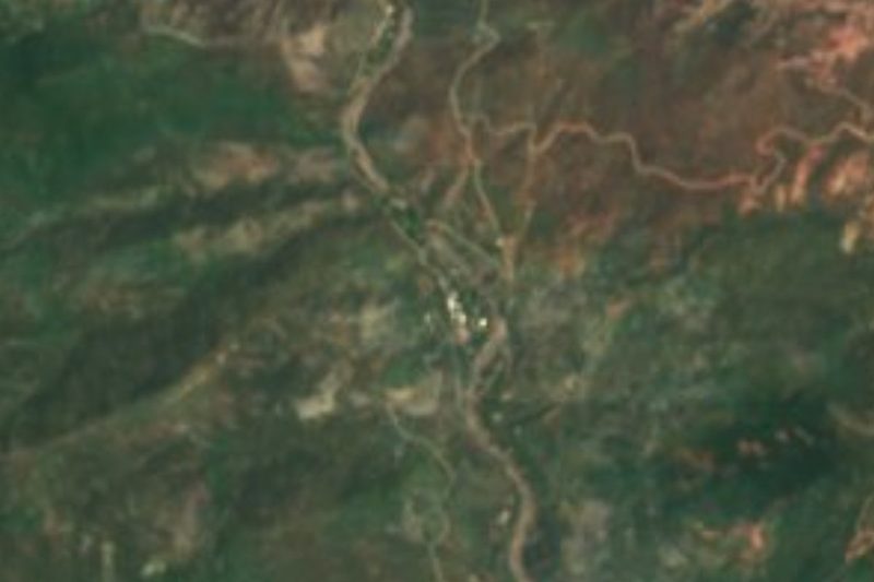


Plan your visit to Urique
Tours to Urique
Day trips around Batopilas sometimes stop in Urique; a tour is the easy way to see it without a car.
 Tours from Creel
Copper Canyon
★ 4.7 (31) · From US$79
How to get to Urique
- From Guasave: about 3 h 40 min by road (~245 km)
- 27 km northwest of Batopilas
- Nearest airport: Los Mochis (LMM), 6 h 32 min by car to Batopilas
Links open a partner site. We may earn a commission if you book, at no cost to you.
Tours from Creel, near Urique


Tours, prices and ratings from Viator, checked weekly. We may earn a commission if you book.
About Urique
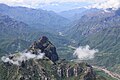
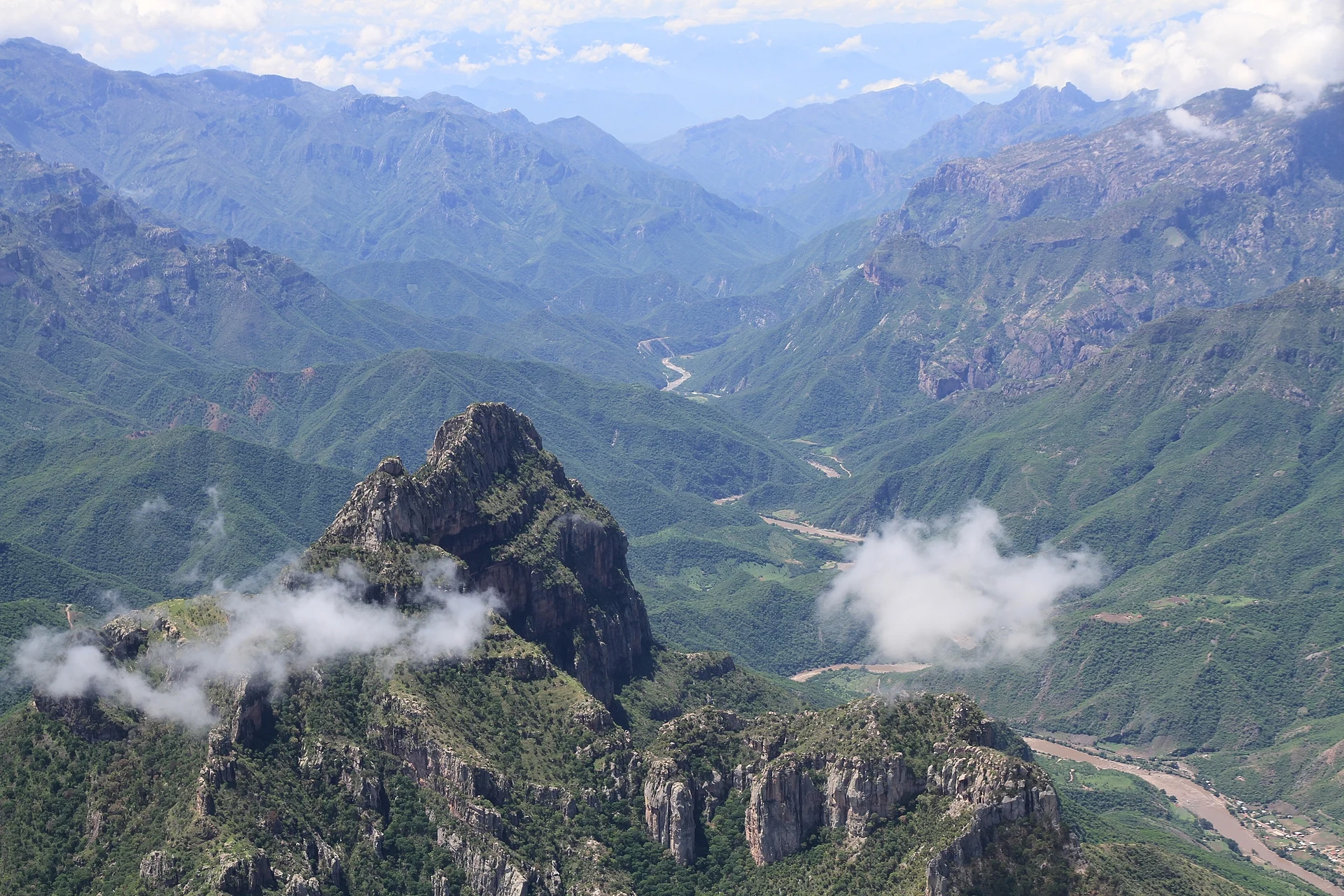
Urique is the seat of the municipality of the same name, set on the Urique River at the bottom of the Barranca de Urique, the deepest of the Copper Canyon gorges. The name comes from the Rarámuri word Urike, usually translated as "place of canyons". At only about 550 meters above sea level, it lives in a different climate from the pine-covered rim: subtropical and close to tropical, with mild dry winters and hot, humid summers. In 2010 the town had about 1,100 inhabitants.
Like many towns in the sierra, Urique began with a mine. It was founded on 12 January 1690 after Tarahumara people found a vein of ore that the Spaniard Juan Tarango Vallejo then registered in his name; Jesuit missions already existed in the surrounding mountains, and the mine's wealth drew settlers down into the canyon. The municipality was created on 14 December 1860 with Urique as its seat, and in December 1866 a decree of President Benito Juárez raised the town to the rank of villa. Mining faded during the 20th century, and today the local economy rests mostly on farming and livestock, with some small-scale artisanal mining.
The event that put Urique on the world map is the Ultra Caballo Blanco. The American runner Micah True, nicknamed Caballo Blanco, organized the first race in 2003 as an act of korima, the Rarámuri custom of sharing without expecting anything back; it became known abroad as the Copper Canyon Ultramarathon after the book Born to Run. It has since grown to include a half marathon, a marathon, an 80 km race and, since 2025, a 160 km (100-mile) race that starts in Cerocahui. The 2026 edition ran from 28 February to 1 March, and the organizers list 5 to 7 March for 2027. Rarámuri finishers receive food vouchers for staples such as maize flour, beans and rice, and the race finishes in the town plaza.
How to get to Urique
Chihuahua city has the nearest large airport, about 8.5 hours' drive away. The road is paved as far as Cerocahui; the last roughly 40 km down into the canyon are rough dirt, best in a high-clearance or 4x4 vehicle. By train, take the Chepe (Express from Los Mochis or Creel, or Regional from Chihuahua) to Bahuichivo station, then allow about 2 hours by road down to Urique; buses also run from Chihuahua to Bahuichivo. There are no banks or ATMs in Urique, so bring cash.
27 km northwest of Batopilas
Directions from Batopilas on Google Maps
Distances are in a straight line; the road is usually longer.
Links open a partner site. We may earn a commission if you book, at no cost to you.
From the nearest cities to Urique
- Guasave · about 245 km by road, ~3 h 40 min
- Guamúchil · about 255 km by road, ~3 h 45 min
- Cuauhtémoc · 299 km by road, 5 h 15 min
Drive times by road from OpenStreetMap, without traffic or stops. Times marked ~ are estimated from the straight-line distance.
Before you go to Urique: hours, prices and tips
- Best season
- Urique hosts the Ultra Caballo Blanco each year; the 2026 race (half marathon up to 100 miles) ran February 28 to March 1, and the 2027 edition is listed for March. Book a room early for that weekend. UltraSignup (race registration) · checked Oct 2026
Hours and prices change, especially around holidays. Each fact links to where we checked it.
Visiting Urique: what to see and do
Walk the town plaza and the riverside of the Urique River at the canyon bottom.
Run, or cheer, at the Ultra Caballo Blanco in late February or early March.
Take in the drop from the rim on the dirt road down from Cerocahui.
Feel the change from pine forest to subtropical canyon-floor vegetation in a single day.
Use Urique as a base or finishing point for treks deeper into the canyon.
Plan your trip
Places to stay in Urique
Hotel Estrella Del Rio Hotel · 90 m from the center Find on Expedia Paraiso Escondido Hotel · 110 m from the center Find on Expedia Campamento los Mezquites Hostel · 580 m from the center Find on Expedia Entre Amigos Hostel · 630 m from the center Find on Expedia Entre Amigos, entrance Hostel · 740 m from the center Find on Expedia El Ranchito. $120 for adult (2024) Motel · 1.5 km from the center Find on ExpediaTours & activities
Day trips around Batopilas sometimes stop in Urique; a tour is the easy way to see it without a car.
Rental cars
Pick up a car at LMM (Los Mochis): about 6 h 32 min by road to Batopilas, then 27 km more to Urique, on your own schedule.
Flights
The nearest airport with scheduled flights is Los Mochis (LMM), about 6 h 32 min by road from Batopilas, the base for Urique.
Mobile data
Signal can drop away from Batopilas: download a map of the way to Urique before you set out, or carry an eSIM with data.
Links open a partner site. We may earn a commission if you book, at no cost to you. Hotel names from OpenStreetMap.
Photos
When to go to Urique mild
Urique shares the climate of Batopilas, 27 km away. The best months to visit are January, March, November, and December.
See the month-by-month climate of Batopilas
Weather in Urique now and the next 7 days
Live forecast from Open-Meteo. Chance of rain is the day's highest.
Make Batopilas your base

Urique is an easy trip from Batopilas, a Pueblo Mágico with places to stay, food, and more to see.
Also close to
- Creel · Chihuahua · 66 km away
Closest to Urique
-
Cerro Colorado · Town · 21 km away
-
Mirador La Bufa · Viewpoint · 31 km away
-
Misión de Satevó · Landmark · 31 km away
-
Barrancas del Cobre · Nature reserve · 37 km away · Chihuahua
-
Divisadero · Village · 37 km away · Near Creel
Something wrong or missing on this page? Suggest a fix or addition
Location from OpenStreetMap. Written by Puebloteca.