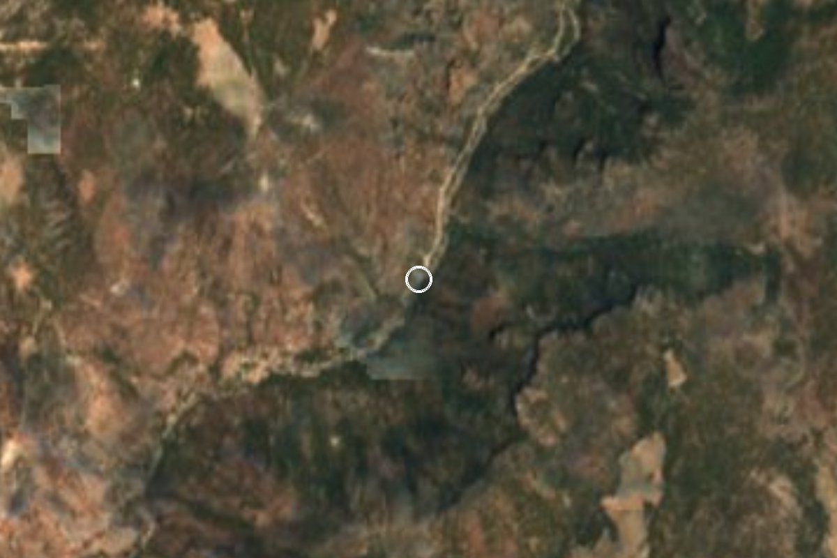
A region of Chihuahua
A system of deep canyons cut by the rivers of the Sierra Tarahumara in south-western Chihuahua, several of them deeper than the Grand Canyon. It is the homeland of the Rarámuri (Tarahumara) people. The Chihuahua al Pacífico railway, El Chepe, crosses it between Chihuahua and Los Mochis, stopping at Creel, Divisadero and Bahuichivo; side roads drop to Urique and Batopilas at the bottom of the canyons, and the waterfalls of Basaseachi and Cusárare are on the high plateau.
3 Pueblos Mágicos · 5 places to visit
Pueblos Mágicos in Copper Canyon


Map
Places to visit in Copper Canyon 5
5 places with their own page, grouped by kind.
Hot springs · 1 Nature reserves · 1 Towns · 1 Villages · 1 Waterfalls · 1
Hot springs
-
Aguas Termales de Recowata · Hot springs · Creel
Warm, sulfur-free pools at the bottom of the Tararecua canyon, run by the Rarámuri of San Ignacio; a steep 3 km walk down from the rim.
Nature reserves
-
Barrancas del Cobre · Nature reserve · Chihuahua
Mexico's great canyon system in the Sierra Tarahumara: Rarámuri country, rim-top viewpoints and the Chepe train along the edge.

Towns
-
Urique · Town · Batopilas
A 1690 mining town at about 550 m on the floor of Mexico's deepest canyon, finish line of the Ultra Caballo Blanco run with Rarámuri runners.

Villages
-
Divisadero · Village · Creel
The Chepe's rim-top stop at 2,330 m: canyon viewpoints, a Rarámuri craft market and the cable car, zip lines and via ferrata of Parque Barrancas.

Waterfalls
-
Cascada de Cusárare · Waterfall · Creel
A 30 m year-round waterfall in the pines 25 km from Creel, reached by a 2–3 km trail; fullest July to September, frozen in the coldest winters.

Top tours in Copper Canyon


Tours, prices and ratings from Viator, checked weekly. We may earn a commission if you book.
Getting around Copper Canyon
Fly into Culiacán (CUL) and Chihuahua (CUU).
Most of the region is reached by road: a rental car is the easiest way to see several places in a day, and buses link the larger towns.