
A region of Sinaloa
The farm valleys of the Río Fuerte and the coast around Los Mochis and the port of Topolobampo, on the Gulf of California. Los Mochis is the western end of the Copper Canyon railway, and El Fuerte is the first stop for many travellers heading into the canyons.
1 Pueblo Mágico · 4 places to visit
Pueblos Mágicos in Northern Sinaloa

Map
Places to visit in Northern Sinaloa 4
4 places with their own page, grouped by kind.
Towns
-
Ahome · Town · Sinaloa
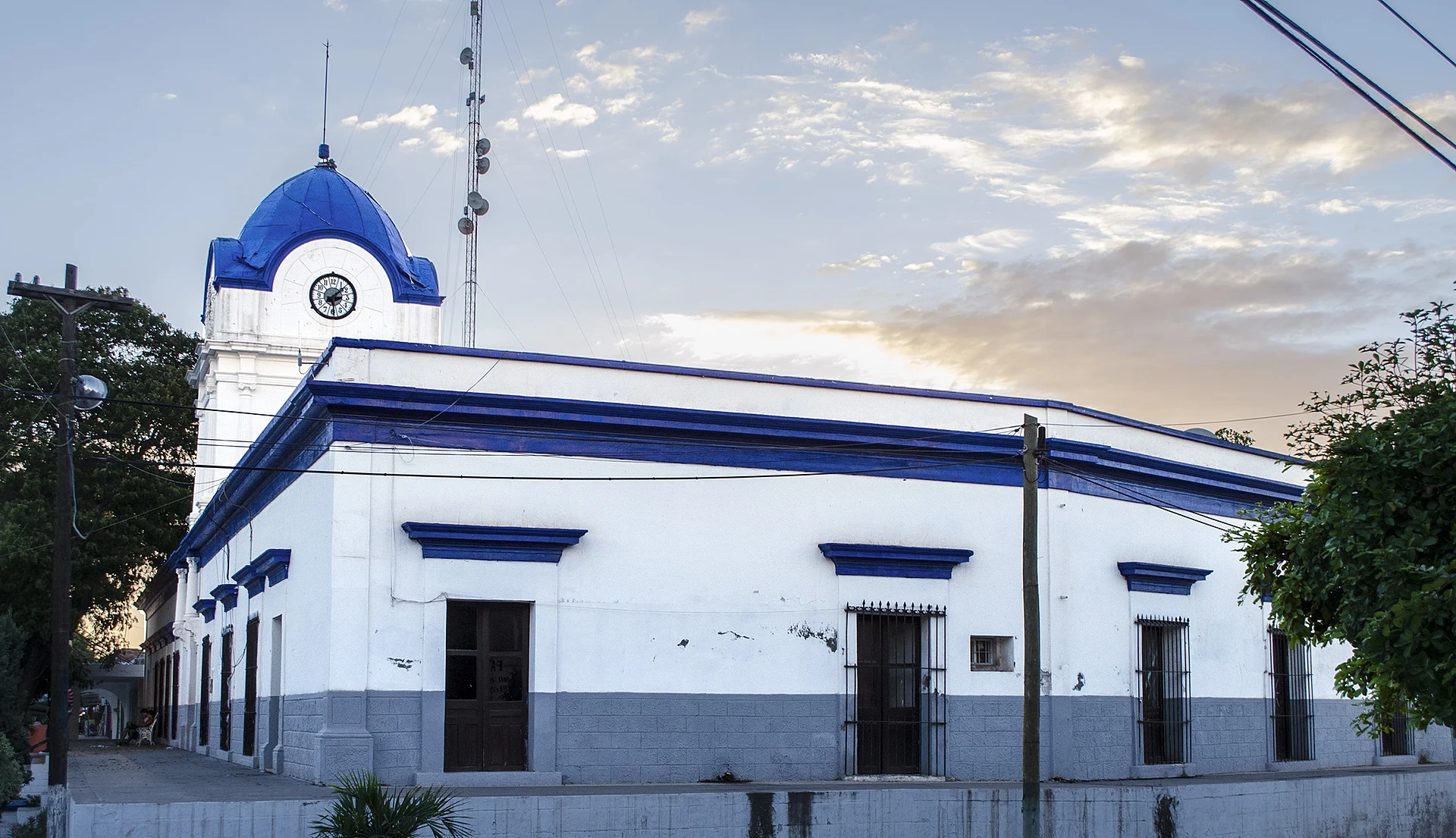
Villa de Ahome, founded in 1605 and the first seat of the municipality, a Pueblo Señorial with the Casa Azul museum and the Río Fuerte. -
Mochicahui · Town · Sinaloa
A Yoreme (Mayo) town in El Fuerte with the remains of a 1614 Jesuit mission and one of northern Sinaloa's busiest ceremonial centers. -
Topolobampo · Town · Sinaloa
Ahome's port on the Gulf of California: the ferry to La Paz, boat trips to see the dolphin Pechocho and bird islands, and a 19th-century utopian colony.


Beaches
-
El Maviri · Beach · Sinaloa
The most popular beach on Topolobampo Bay, on an island reached by bridge, with grilled fish shacks and a bat cave that empties at dusk.

Getting around Northern Sinaloa
Fly into Los Mochis (LMM).
Cities to start from: Los Mochis
Most of the region is reached by road: a rental car is the easiest way to see several places in a day, and buses link the larger towns.
When to visit Northern Sinaloa
Most of Northern Sinaloa is at its best in January, March, November, and December.
Month-by-month climate on each Pueblo Mágico's page: El Fuerte