
Town Ahome, Sinaloa Municipality of Ahome Northern Sinaloa
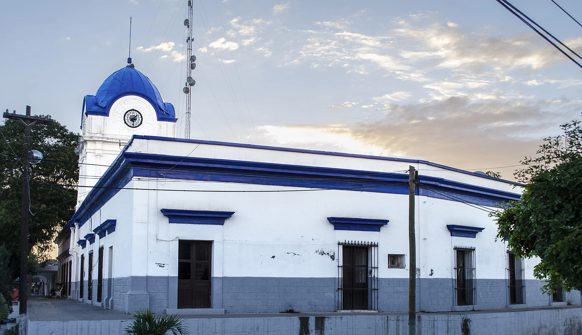
Villa de Ahome, founded in 1605 and the first seat of the municipality, a Pueblo Señorial with the Casa Azul museum and the Río Fuerte.
From Los Mochis: 25 min by car (24 km by road) How to get there ↓
Near here
See everything nearby ↓


Plan your visit to Ahome
Where to stay near Ahome
Compare hotels, posadas and guest houses in Ahome.
Tours to Ahome
Day trips around El Fuerte sometimes stop in Ahome; a tour is the easy way to see it without a car.
How to get to Ahome
- From Los Mochis: about 25 min by road (~24 km)
- Nearest airport: Los Mochis (LMM), 1 h 37 min by car to El Fuerte
Links open a partner site. We may earn a commission if you book, at no cost to you.
About Ahome
Villa de Ahome, as locals call it to tell it apart from the municipality, is a town of about 11,000 people some 24 km from Los Mochis, on the banks of the Río Fuerte. Its official founding date is August 15, 1605, when the Jesuit missionary Andrés Pérez de Ribas arrived; he preached to the Ahome people and wrote about his work in a history of the missions published in Madrid. When Ahome municipality was created by a decree of December 1916, the villa became its seat, with the first council installed on January 5, 1917. It kept that role until 1935, when the government moved to Los Mochis, the city that had grown up around the sugar mill. Ahome was named a Pueblo Señorial in 2010, and in August 2025, after a site visit, the head of historic sites at Mexico's federal culture ministry said it has what it takes to become a Pueblo Mágico.
The center is best seen on foot: cobbled streets and 19th-century houses around the Benito Juárez square, two of which belonged to the merchant Zacarías Ochoa. The Casa Azul, built in 1913, housed the first town council and is now a community museum with old objects and photographs and 18 awards donated by the singer and actor José Ángel Espinoza "Ferrusquilla", who grew up here. The district offices occupy the Casco de Ahome, a former hacienda from 1872, and the old town hall carries the clock that Álvaro Obregón gave the town in 1912, with European-made works; that same year Obregón laid the first stone of the school named after him, still in use. The clock has stopped, and local officials have asked for funds to repair it.
There is also the 19th-century church of San Antonio de Padua, murals by local artists Alejandro Álvarez and Jorge Robles on walls and in the Jesse James Maxwell park, the welcome arch, and the remains of El Águila, Ahome's first sugar mill, older than the one in Los Mochis, which drew Benjamin Francis Johnson to the region. At the edge of town the Fuerte runs between big poplars. Nearby La Florida, a Yoreme (Mayo) community, has the ceremonial center closest to the villa, where traditional medicine, dance, music and language are kept alive; its Holy Week rites are a community celebration of faith. Food runs from ceviche, fish and shrimp to birria, barbacoa, slow-roasted lamb, gorditas and menudo. The town's anniversary is celebrated on August 19 and 20 with a parade and the crowning of a queen.
How to get to Ahome
Drive from Los Mochis: 25 min, 24 km
Ahome is about 24 km north of Los Mochis on the Los Mochis–Ahome road, around 25 minutes by car. In Los Mochis, Azules del Noroeste and Autobuses Norte de Sinaloa (ANS) run several buses a day to surrounding towns. The nearest Pueblo Mágico is El Fuerte: head back to Los Mochis and take the Los Mochis–El Fuerte road, another hour and twenty minutes.
Directions to Ahome on Google Maps
Distances are in a straight line; the road is usually longer.
Links open a partner site. We may earn a commission if you book, at no cost to you.
From the nearest cities to Ahome
- Los Mochis · 24 km by road, 25 min
- Guasave · 91 km by road, 1 h 10 min
- Guamúchil · 134 km by road, 1 h 45 min
Drive times by road from OpenStreetMap, without traffic or stops. Times marked ~ are estimated from the straight-line distance.
Before you go to Ahome: hours, prices and tips
- Best season
- Town anniversary on August 19 and 20, with a float parade and the crowning of a queen. Luz Noticias · checked Oct 2026
Hours and prices change, especially around holidays. Each fact links to where we checked it.
Visiting Ahome: what to see and do
The Casa Azul (1913), community museum and first town hall.
The Casco de Ahome, an 1872 hacienda, and the clock Obregón donated in 1912.
The church of San Antonio de Padua and the Benito Juárez square.
The murals downtown and in the Jesse James Maxwell park.
The remains of the El Águila sugar mill.
The Río Fuerte between tall poplars.
The Yoreme ceremonial center at La Florida.
Plan your trip
Places to stay in Ahome
Compare hotels, posadas, and rentals in and around Ahome.
Tours & activities
Day trips around El Fuerte sometimes stop in Ahome; a tour is the easy way to see it without a car.
Rental cars
Pick up a car at LMM (Los Mochis): about 1 h 37 min by road to El Fuerte, then 77 km more to Ahome, on your own schedule.
Flights
The nearest airport with scheduled flights is Los Mochis (LMM), about 1 h 37 min by road from El Fuerte, the base for Ahome.
Mobile data
Signal can drop away from El Fuerte: download a map of the way to Ahome before you set out, or carry an eSIM with data.
Links open a partner site. We may earn a commission if you book, at no cost to you.
When to go to Ahome warm
Ahome shares the climate of El Fuerte, 77 km away. The best months to visit are January, March, November, and December.
See the month-by-month climate of El Fuerte
Weather in Ahome now and the next 7 days
Live forecast from Open-Meteo. Chance of rain is the day's highest.
The closest Pueblo Mágico: El Fuerte

El Fuerte is the Pueblo Mágico closest to Ahome, with places to stay, food, and more to see.
Closest to Ahome
-
Mochicahui · Town · 25 km away
-
Topolobampo · Town · 37 km away
-
El Maviri · Beach · 39 km away
Near Ahome

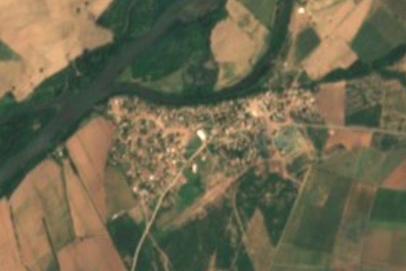
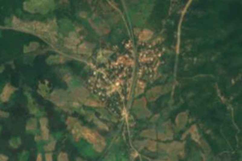


Drive times by road from OpenStreetMap, without traffic. Times marked ~ are estimated from the straight-line distance.
Location from OpenStreetMap. Written by Puebloteca.