
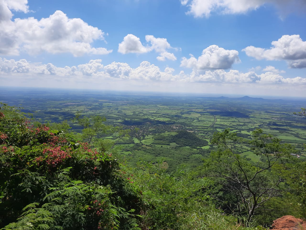
Town Sinaloa
The villa founded in 1583 on the Sinaloa River, base of the Jesuit missions of the northwest, with ruins of its 1635 church and a riverside promenade.
From Guasave: 50 min by car (41 km by road) How to get there ↓
Plan your visit to Sinaloa de Leyva
Where to stay near Sinaloa de Leyva
Compare hotels, posadas and guest houses in Sinaloa de Leyva.
Tours to Sinaloa de Leyva
Day trips around Mocorito sometimes stop in Sinaloa de Leyva; a tour is the easy way to see it without a car.
How to get to Sinaloa de Leyva
- From Guasave: about 50 min by road (~41 km)
- Nearest airport: Culiacán (CUL), 1 h 45 min by car to Mocorito
Links open a partner site. We may earn a commission if you book, at no cost to you.
About Sinaloa de Leyva
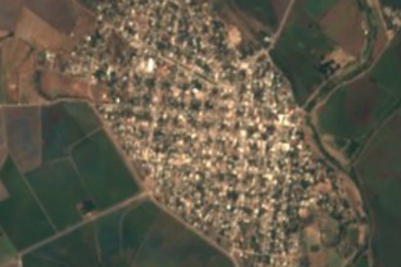
Sinaloa de Leyva is the seat of Sinaloa municipality, on the banks of the Sinaloa (or Petatlán) River about 42 km northeast of Guasave. Pedro de Montoya founded it on April 30, 1583 as the Villa de San Felipe y Santiago de Sinaloa, and it was founded a second time in 1585 by Antonio Ruiz and four companions. By 1590 only nine settlers were scraping by, but the arrival of the Jesuits Gonzalo de Tapia and Martín Pérez in 1591 and the discovery of the Chínipas mines turned things around. In 1595 the viceroy Luis de Velasco approved a presidio, and Captain Alonso Díaz arrived with 24 soldiers; it remained New Spain's northwesternmost garrison until 1689. From here Diego de Hurdaide subdued the Sinaloa, Tehueco, Ahome and Zuaque peoples and pushed Spanish control up to the Fuerte River. The town was once the state capital, and its name honors Gabriel Leyva Solano, born here and remembered as the first martyr of the Mexican Revolution: he was killed on June 13, 1910, and the country's first anti-reelection club was organized in this town.
In 1635 the Jesuits built the town's first church, with a college attached that became a religious and cultural center for the whole northwest and the starting point of a chain of missions reaching Baja California and northern Sonora. A river flood destroyed it, but the ruins of the Templo Viejo still show stone foundations and walls. The cobbled streets are lined with 19th-century houses in styles running from neoclassical to the eclectic taste of the Porfirio Díaz years. Around the main square are the town hall, the Casa de la Cultura and the old tower known as the Torre Vieja, and at the entrance to town a statue of the Virgin of Guadalupe crowns Cerro del Monje, a lookout over the rooftops.
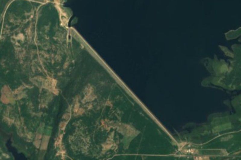
A riverside promenade has seafood restaurants and snack stands, and catamaran rides leave from it, popular at sunset. Across the suspension bridge, bakers sell pan de mujer from wood-fired ovens. The countryside has places to cool off: Los Sabinos park, with big trees and river water; the El Caimán, Maripa and Baburia creeks; mineral springs at Agua Caliente de Cota and Las Pilas; and, about 48 km away, the Bacurato dam, where anglers catch largemouth bass and tilapia. Near Bacubirito, at Porohui, El Cajón has natural pools and small waterfalls.
How to get to Sinaloa de Leyva
Drive from Guasave: 50 min, 41 km
From Los Mochis, take Highway 15 southeast to Guasave, about 60 km, then the road northeast to Sinaloa de Leyva, another 42 km, roughly an hour and a half in all. Regional lines from Guasave's bus station reach almost any town in the state. The nearest Pueblo Mágico is Mocorito, about 48 km away as the crow flies; by road, head south toward Guamúchil and up through El Progreso.
Directions to Sinaloa de Leyva on Google Maps
Distances are in a straight line; the road is usually longer.
Links open a partner site. We may earn a commission if you book, at no cost to you.
From the nearest cities to Sinaloa de Leyva
- Guasave · 41 km by road, 50 min
- Guamúchil · 70 km by road, 1 h 10 min
- Los Mochis · 102 km by road, 1 h 35 min
Drive times by road from OpenStreetMap, without traffic or stops. Times marked ~ are estimated from the straight-line distance.
Visiting Sinaloa de Leyva: what to see and do
The ruins of the 1635 Jesuit Templo Viejo.
The main square, town hall, Casa de la Cultura and Torre Vieja.
The Virgin's lookout on Cerro del Monje.
A catamaran ride on the river from the promenade.
Wood-fired pan de mujer across the suspension bridge.
Los Sabinos park and the creeks around town.
Bass fishing at the Bacurato dam, about 48 km away.
Plan your trip
Places to stay in Sinaloa de Leyva
Compare hotels, posadas, and rentals in and around Sinaloa de Leyva.
Tours & activities
Day trips around Mocorito sometimes stop in Sinaloa de Leyva; a tour is the easy way to see it without a car.
Rental cars
Pick up a car at CUL (Culiacán): about 1 h 45 min by road to Mocorito, then 48 km more to Sinaloa de Leyva, on your own schedule.
Flights
The nearest airport with scheduled flights is Culiacán (CUL), about 1 h 45 min by road from Mocorito, the base for Sinaloa de Leyva.
Mobile data
Signal can drop away from Mocorito: download a map of the way to Sinaloa de Leyva before you set out, or carry an eSIM with data.
Links open a partner site. We may earn a commission if you book, at no cost to you.
When to go to Sinaloa de Leyva warm
Sinaloa de Leyva shares the climate of Mocorito, 48 km away. The best months to visit are January, February, and December.
See the month-by-month climate of Mocorito
Weather in Sinaloa de Leyva now and the next 7 days
Live forecast from Open-Meteo. Chance of rain is the day's highest.
The closest Pueblo Mágico: Mocorito

Mocorito is the Pueblo Mágico closest to Sinaloa de Leyva, with places to stay, food, and more to see.
Also close to
- El Fuerte · Sinaloa · 75 km away
Closest to Sinaloa de Leyva
-
Guasave · City · 37 km away

Near Sinaloa de Leyva





Drive times by road from OpenStreetMap, without traffic. Times marked ~ are estimated from the straight-line distance.
Location from OpenStreetMap. Written by Puebloteca.