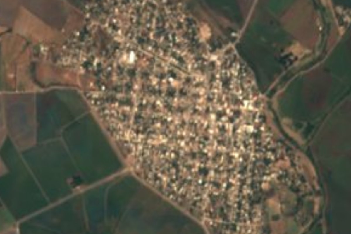
Town Mocorito, Sinaloa
Mocorito municipality's largest town, on Highway 15, home to Casa Peiro, a former hacienda of wine, mezcal and henequen now a cultural center.
From Culiacán: 50 min by car (49 km by road) How to get there ↓
Near here
See everything nearby ↓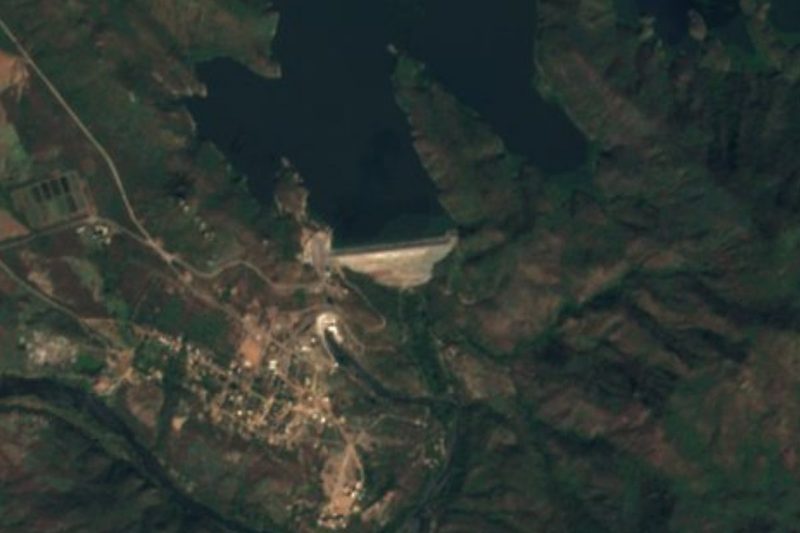


Plan your visit to Pericos
Where to stay near Pericos
Compare hotels, posadas and guest houses in Pericos.
Tours to Pericos
Day trips around Mocorito sometimes stop in Pericos; a tour is the easy way to see it without a car.
How to get to Pericos
- From Culiacán: about 50 min by road (~49 km)
- Nearest airport: Culiacán (CUL), 1 h 45 min by car to Mocorito
Links open a partner site. We may earn a commission if you book, at no cost to you.
About Pericos
Pericos is the largest town in Mocorito municipality, though not its seat, with 6,244 people at the 2020 census. It lies on the valley floor, 60 m above sea level, between two broad streams, one to the east and one to the west; the old stagecoach road ran to the north, and the Camainera lagoon lay to the south. Today the Pericos valley is irrigated by the Humaya dam, and Highway 15 runs straight through town between Culiacán and Guamúchil.
The town grew out of a hacienda. Local accounts say that in 1769 Francisco Peyroo Gramon, from Aragón in Spain (the press spells it Payró Grammon), founded the hacienda of Nuestra Señora de las Angustias for crops and cattle, drawing hundreds of Indigenous laborers. Early in the 19th century it began making a wine known as vino periqueño, and later a mezcal brandy sold under the El Periqueño label. Henequen came next, its plants brought with difficulty from Yucatán; the Arretes and Peiro haciendas grew up around it, and Pericos became a busy trading town that shipped fiber beyond Mexico. The press also credits the hacienda with founding the first bank in northwest Mexico.
What survives is the main house, the church and the factory chimney. The state and Mocorito governments restored the house, which became the Casa Peiro cultural center in 2006. It has a library, a computer room, an audiovisual classroom, an air-conditioned studio for folk dance and jazz and a central courtyard, and runs free workshops for children, teenagers and adults, along with talks, book launches, theater, festivals, art shows and guided tours. Pericos makes an easy stop on the way to the Pueblo Mágico of Mocorito, about 50 km away as the crow flies.
How to get to Pericos
Drive from Culiacán: 50 min, 49 km
From Culiacán, take Highway 15 north past El Limón de los Ramos and La Campana to Pericos, roughly 50 minutes. Buses running along Highway 15 between Culiacán and Guamúchil pass through town. To continue to Mocorito, the nearest Pueblo Mágico, stay on Highway 15 to Caitime, just before Guamúchil, turn right toward El Progreso and then left to Mocorito.
Directions to Pericos on Google Maps
Distances are in a straight line; the road is usually longer.
Links open a partner site. We may earn a commission if you book, at no cost to you.
From the nearest cities to Pericos
- Culiacán · 49 km by road, 50 min
- Guamúchil · 59 km by road, 1 h
- Guasave · 103 km by road, 1 h 35 min
Drive times by road from OpenStreetMap, without traffic or stops. Times marked ~ are estimated from the straight-line distance.
Visiting Pericos: what to see and do
The Casa Peiro cultural center, the old hacienda house.
The church and the factory chimney, the hacienda's other survivors.
Workshops, exhibitions and guided tours at Casa Peiro.
The Pericos valley, irrigated by the Humaya dam.
The road on to the Pueblo Mágico of Mocorito along Highway 15.
Plan your trip
Places to stay in Pericos
Compare hotels, posadas, and rentals in and around Pericos.
Tours & activities
Day trips around Mocorito sometimes stop in Pericos; a tour is the easy way to see it without a car.
Rental cars
Pick up a car at CUL (Culiacán): about 1 h 45 min by road to Mocorito, then 50 km more to Pericos, on your own schedule.
Flights
The nearest airport with scheduled flights is Culiacán (CUL), about 1 h 45 min by road from Mocorito, the base for Pericos.
Mobile data
Signal can drop away from Mocorito: download a map of the way to Pericos before you set out, or carry an eSIM with data.
Links open a partner site. We may earn a commission if you book, at no cost to you.
When to go to Pericos warm
Pericos shares the climate of Mocorito, 50 km away. The best months to visit are January, February, and December.
See the month-by-month climate of Mocorito
Weather in Pericos now and the next 7 days
Live forecast from Open-Meteo. Chance of rain is the day's highest.
The closest Pueblo Mágico: Mocorito

Mocorito is the Pueblo Mágico closest to Pericos, with places to stay, food, and more to see.
Closest to Pericos
-
Presa Humaya · Lake · 32 km away
-
Navolato · Town · 35 km away
-
Paseo del Ángel · Landmark · 44 km away
Near Pericos




Drive times by road from OpenStreetMap, without traffic. Times marked ~ are estimated from the straight-line distance.
Location from OpenStreetMap. Written by Puebloteca.