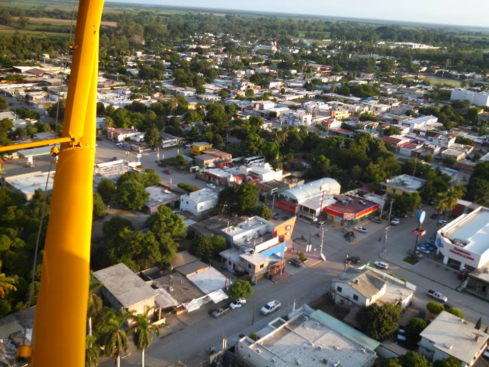
Town Eldorado, Sinaloa
The Redo family's sugar town in the San Lorenzo valley, a municipal seat since 2024, with Gulf beaches and estuaries close by.
From Culiacán: 1 h by car (61 km by road) How to get there ↓
Plan your visit to Eldorado
Where to stay near Eldorado
Compare hotels, posadas and guest houses in Eldorado.
Tours to Eldorado
Day trips around Cosalá sometimes stop in Eldorado; a tour is the easy way to see it without a car.
How to get to Eldorado
- From Culiacán: about 1 h by road (~61 km)
- Nearest airport: Culiacán (CUL), 2 h 34 min by car to Cosalá
Links open a partner site. We may earn a commission if you book, at no cost to you.
About Eldorado
Eldorado lies in the valley of the San Lorenzo River, about 54 km south of Culiacán and close to where the river meets the Gulf of California. It was a district of Culiacán from 1917. Talk of breaking away began in the 1970s, and after several failed attempts the state congress voted on March 5, 2021 to create the municipality of Eldorado, along with Juan José Ríos; its first council took office on November 1, 2024. In 2020 the town had 14,772 people and the new municipality 46,628, with 167 km of coastline.
Just north of town on the San Lorenzo was Navito, a Sabaibo and Tahue settlement that Nuño de Guzmán's expedition reached in 1531. In 1856 Joaquín Redo and his wife Alejandra de la Vega bought land here and built the El Coloso textile mill and the La Aurora sugar mill. For a new mill the family bought the machinery of the San Claudio mill in Florida, able to grind 600 tonnes a day, shipped it from Tampa around Cape Horn and landed it at Rabala, south of Altata Bay. From there it was rolled on logs and hauled by oxen and mules along a 22 km trail through the brush. The first stone was laid on March 28, 1900, and the first harvest ran from March to May 1903, worked largely by Yaqui and Mayo families brought from Sonora.
More than a century on, the Eldorado mill is the only sugar mill still running in Sinaloa, and its tall chimney stands over the town. A mural on its walls shows the old Redo hacienda. The writer Inés Arredondo spent the summers of her childhood here.
Toward the sea, the municipality took over beaches that used to belong to Culiacán. Ponce has surf, horseback rides and ATV outings; El Conchal is calm, with seafood restaurants facing La Guadalupana bay; and Las Arenitas, next to Ponce, is good for herons, oystercatchers, pelicans and ospreys. To the west lies the Ensenada de Pabellones, a Ramsar wetland. Hunters from Mexico and abroad come for the migratory ducks from Canada, and the coast hosts sport fishing tournaments.
How to get to Eldorado
Drive from Culiacán: 1 h, 61 km
From Culiacán, take the Culiacán–Eldorado road south through the Costa Rica district; it is about 54 km, roughly an hour. Regional buses leave Culiacán's main bus station for towns across the state. The Ponce, Las Arenitas and El Conchal beaches lie further south on local roads. The nearest Pueblo Mágico is Cosalá, about 69 km in a straight line, reached by Highway 15 toward Mazatlán and the signed turn-off near km 104.
Directions to Eldorado on Google Maps
Distances are in a straight line; the road is usually longer.
Links open a partner site. We may earn a commission if you book, at no cost to you.
From the nearest cities to Eldorado
Drive times by road from OpenStreetMap, without traffic or stops. Times marked ~ are estimated from the straight-line distance.
Visiting Eldorado: what to see and do
The chimney and mural of the Eldorado mill, Sinaloa's last working sugar mill.
Playa Ponce, with surf, horses and ATVs.
El Conchal and its seafood restaurants on La Guadalupana bay.
Seabirds at Las Arenitas.
The Ensenada de Pabellones, a Ramsar wetland to the west.
Sport hunting for migratory ducks.
Plan your trip
Places to stay in Eldorado
Compare hotels, posadas, and rentals in and around Eldorado.
Tours & activities
Day trips around Cosalá sometimes stop in Eldorado; a tour is the easy way to see it without a car.
Rental cars
Pick up a car at CUL (Culiacán): about 2 h 34 min by road to Cosalá, then 69 km more to Eldorado, on your own schedule.
Flights
The nearest airport with scheduled flights is Culiacán (CUL), about 2 h 34 min by road from Cosalá, the base for Eldorado.
Mobile data
Signal can drop away from Cosalá: download a map of the way to Eldorado before you set out, or carry an eSIM with data.
Links open a partner site. We may earn a commission if you book, at no cost to you.
When to go to Eldorado warm
Eldorado shares the climate of Cosalá, 69 km away. The best months to visit are January, February, and December.
See the month-by-month climate of Cosalá
Weather in Eldorado now and the next 7 days
Live forecast from Open-Meteo. Chance of rain is the day's highest.
The closest Pueblo Mágico: Cosalá

Cosalá is the Pueblo Mágico closest to Eldorado, with places to stay, food, and more to see.
Closest to Eldorado
-
Costa Rica · Town · 30 km away

Near Eldorado


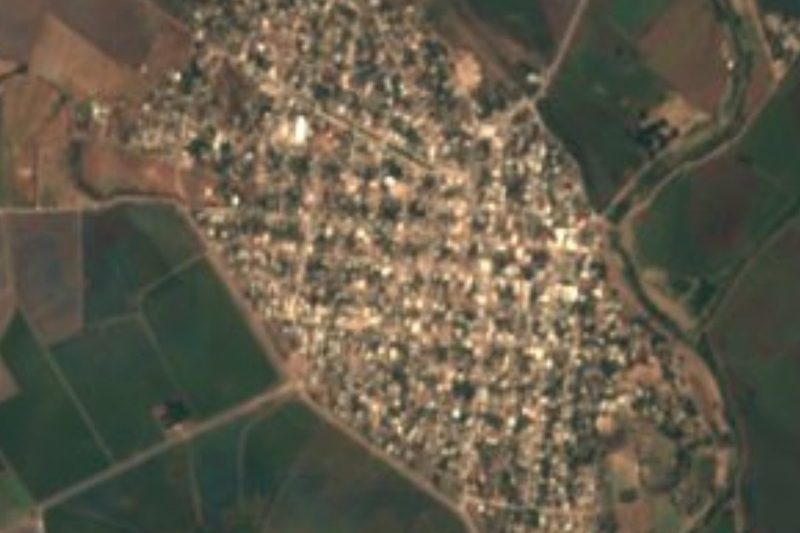


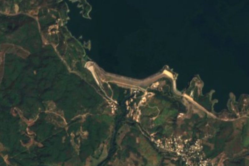

Drive times by road from OpenStreetMap, without traffic. Times marked ~ are estimated from the straight-line distance.
Location from OpenStreetMap. Written by Puebloteca.