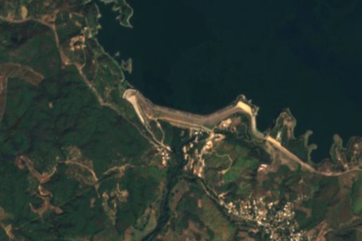
Lake Culiacán, Sinaloa Municipality of Culiacán
Sinaloa's first dam (1948), in the hills east of Culiacán: boat rides, bass fishing, picnic palapas and fish fresh from the reservoir.
From Culiacán: 45 min by car (33 km by road) How to get there ↓
Near here
See everything nearby ↓


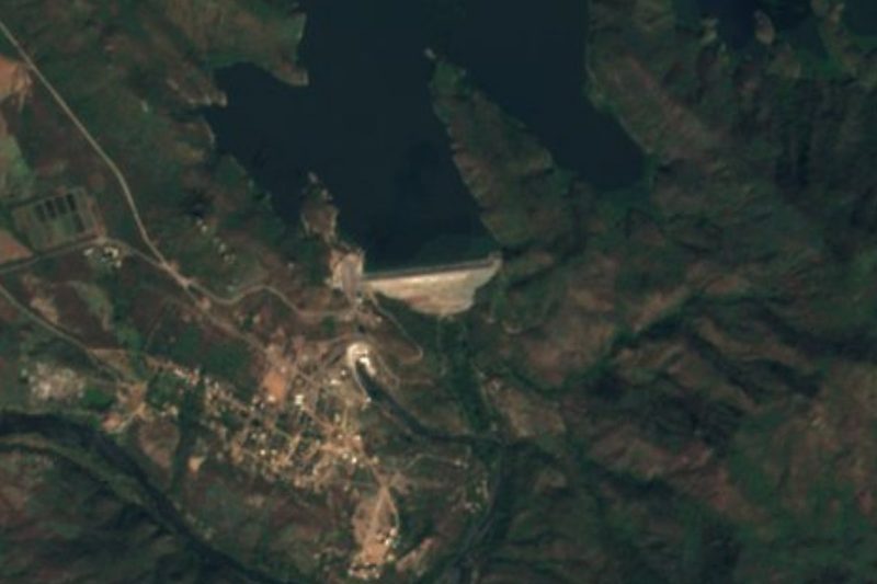
Plan your visit to Presa Sanalona
Where to stay near Presa Sanalona
Compare hotels, posadas and guest houses in Presa Sanalona.
Tours to Presa Sanalona
Day trips and guided outings from Cosalá often include Presa Sanalona; with a local guide you can get there without a car.
How to get to Presa Sanalona
- From Culiacán: about 45 min by road (~33 km)
- Nearest airport: Culiacán (CUL), 2 h 34 min by car to Cosalá
Links open a partner site. We may earn a commission if you book, at no cost to you.
About Presa Sanalona
Presa Sanalona holds back the Tamazula River about 24 km east of Culiacán, among low hills, beside the village that gives it its name. It was the first dam ever built in Sinaloa. It started operating on January 1, 1948, and the irrigation water it sent down the Culiacán valley set off the farm boom that made the state capital what it is. It is now the sixth-largest dam in Sinaloa, stores roughly 673 million cubic meters and irrigates up to 60,000 hectares.
The structure is an earth and rockfill embankment: an impervious core of gravel and clay, sand and gravel shoulders, and a one-meter facing of hand-placed quarry stone on the upstream side. A curved, free-crest spillway almost 219 m long sits on the right bank and can release 6,300 cubic meters per second, while two intake tunnels run through the left bank. A 14-megawatt hydroelectric plant was added on May 8, 1963.
For families from central Sinaloa it is an easy weekend escape. Local boatmen take visitors around the reservoir, anglers go after largemouth bass, tilapia and catfish, and people paddle canoes or hike the surrounding hills; fishing tournaments and regattas have been held here, and Wikivoyage mentions camping too. The gazebo overlooking the water is the classic photo stop. Close to the dam, the Parque Ecoturístico de Sanalona has grills and palm-roofed shelters for picnics. Small restaurants serve breakfast and lunch built around fish and shellfish from the reservoir, and stalls along the shore sell grilled corn, esquites, fresh coconuts, raspados and pan de mujer, a sweet local bread.
Water levels swing widely with the rains: in June 2024, after a long drought, the reservoir stood at just 6 percent of capacity. It looks its best, and the boat trips are at their most scenic, after a good rainy season.
How to get to Presa Sanalona
Drive from Culiacán: 45 min, 33 km
Sanalona is about 24 km east of Culiacán by state road, around 40 minutes according to local press. We found no bus route to the dam, so a car is the practical option. The Imala hot springs lie in the same area, about 7 km northwest as the crow flies, and the two fit into one day. The nearest Pueblo Mágico is Cosalá, about 65 km away in a straight line; by road it is reached from Culiacán down Highway 15 south, about 164 km in all.
Directions to Presa Sanalona on Google Maps
Distances are in a straight line; the road is usually longer.
Links open a partner site. We may earn a commission if you book, at no cost to you.
From the nearest cities to Presa Sanalona
- Culiacán · 33 km by road, 45 min
- Guamúchil · 152 km by road, 2 h 20 min
- Guasave · 185 km by road, 2 h 40 min
Drive times by road from OpenStreetMap, without traffic or stops. Times marked ~ are estimated from the straight-line distance.
Visiting Presa Sanalona: what to see and do
A boat ride around the reservoir with village boatmen.
Fishing for largemouth bass, tilapia and catfish.
The gazebo overlooking the water, the classic photo spot.
The Parque Ecoturístico de Sanalona, with grills and palapas.
Hikes in the hills around the dam.
Reservoir fish at the local eateries and pan de mujer from the stalls.
Plan your trip
Places to stay in Presa Sanalona
Compare hotels, posadas, and rentals in and around Presa Sanalona.
Tours & activities
Day trips and guided outings from Cosalá often include Presa Sanalona; with a local guide you can get there without a car.
Rental cars
Pick up a car at CUL (Culiacán): about 2 h 34 min by road to Cosalá, then 65 km more to Presa Sanalona, on your own schedule.
Flights
The nearest airport with scheduled flights is Culiacán (CUL), about 2 h 34 min by road from Cosalá, the base for Presa Sanalona.
Travel insurance
If you plan on swimming or kayaking at Presa Sanalona, check that your policy covers it: some plans leave adventure activities out.
Mobile data
Signal can drop away from Cosalá: download a map of the way to Presa Sanalona before you set out, or carry an eSIM with data.
Links open a partner site. We may earn a commission if you book, at no cost to you.
When to go to Presa Sanalona warm
Presa Sanalona shares the climate of Cosalá, 65 km away. The best months to visit are January, February, and December.
Presa Sanalona is best for swimming and time on the water in the warmest months (April, May, and June); in the rainiest ones (July, August, and September) expect storms in the afternoon.
See the month-by-month climate of Cosalá
Weather in Presa Sanalona now and the next 7 days
Live forecast from Open-Meteo. Chance of rain is the day's highest.
The closest Pueblo Mágico: Cosalá

Cosalá is the Pueblo Mágico closest to Presa Sanalona, with places to stay, food, and more to see.
Closest to Presa Sanalona
-
Balneario de Imala · Hot springs · 8 km away
-
Paseo del Ángel · Landmark · 24 km away
-
Costa Rica · Town · 35 km away
-
Presa Humaya · Lake · 40 km away
Near Presa Sanalona



Drive times by road from OpenStreetMap, without traffic. Times marked ~ are estimated from the straight-line distance.
Lists with Presa Sanalona
Lakes and Lagoons in Sinaloa · 5Location from OpenStreetMap. Written by Puebloteca.