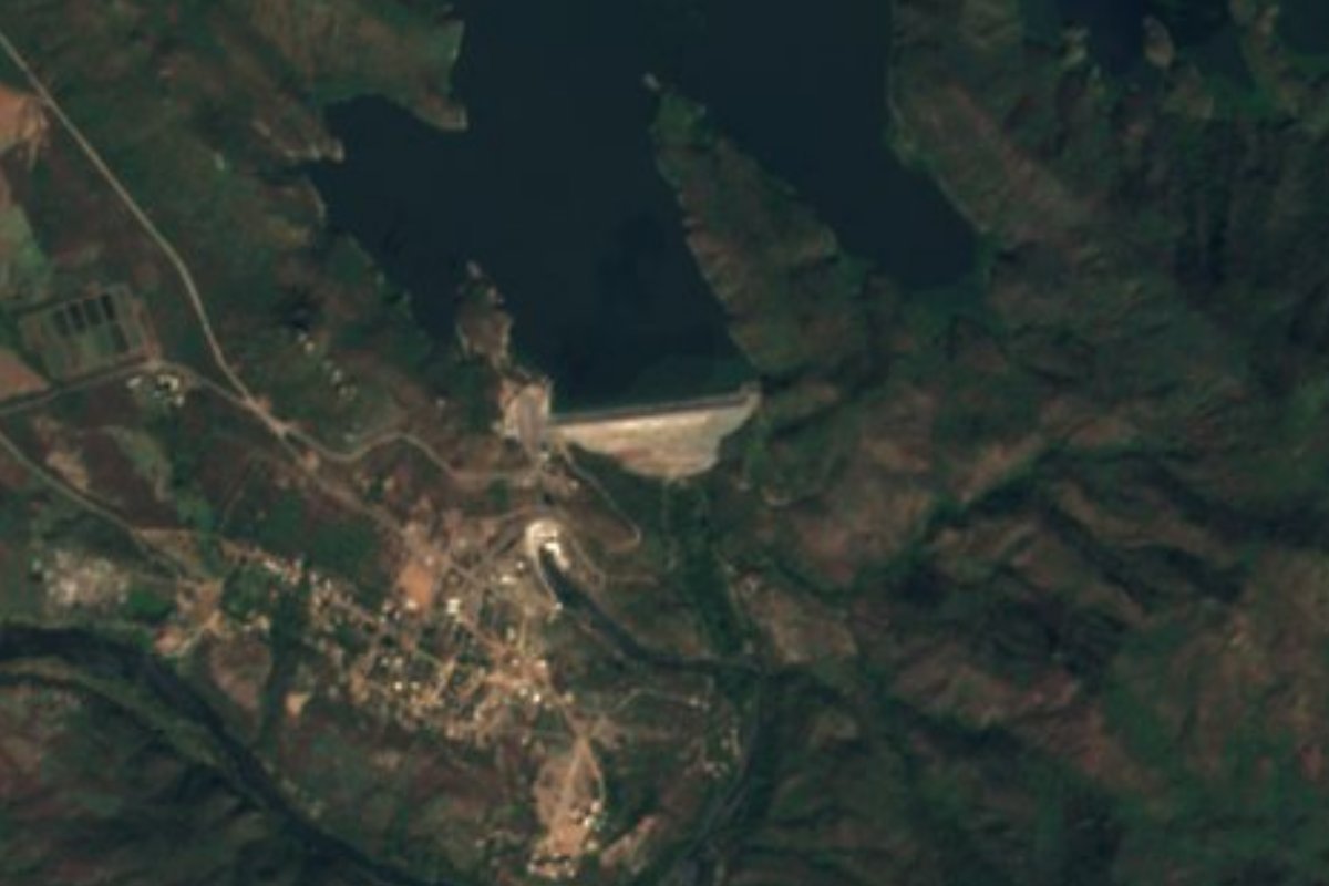
Lake Badiraguato, Sinaloa
Sinaloa's largest reservoir, at El Varejonal north of Culiacán: a cliff-lined lake known to bass anglers as Lake Mateos.
From Culiacán: 1 h 10 min by car (46 km by road) How to get there ↓
Near here
See everything nearby ↓


Plan your visit to Presa Humaya
Where to stay near Presa Humaya
Compare hotels, posadas and guest houses in Presa Humaya.
Tours to Presa Humaya
Day trips and guided outings from Mocorito often include Presa Humaya; with a local guide you can get there without a car.
How to get to Presa Humaya
- From Culiacán: about 1 h 10 min by road (~46 km)
- Nearest airport: Culiacán (CUL), 1 h 45 min by car to Mocorito
Links open a partner site. We may earn a commission if you book, at no cost to you.
About Presa Humaya
Presa Adolfo López Mateos, known to everyone as the Humaya dam or El Varejonal, impounds the Humaya River about 32 km north of Culiacán, in the foothills of the Sierra Madre on the border of the Badiraguato and Culiacán municipalities. It can hold 3,087 million cubic meters over some 11,340 hectares, making it the largest reservoir in Sinaloa and one of the ten biggest in Mexico. Its water irrigates more than 100,000 hectares of the Culiacán, Pericos, Guamúchil and Angostura valleys.
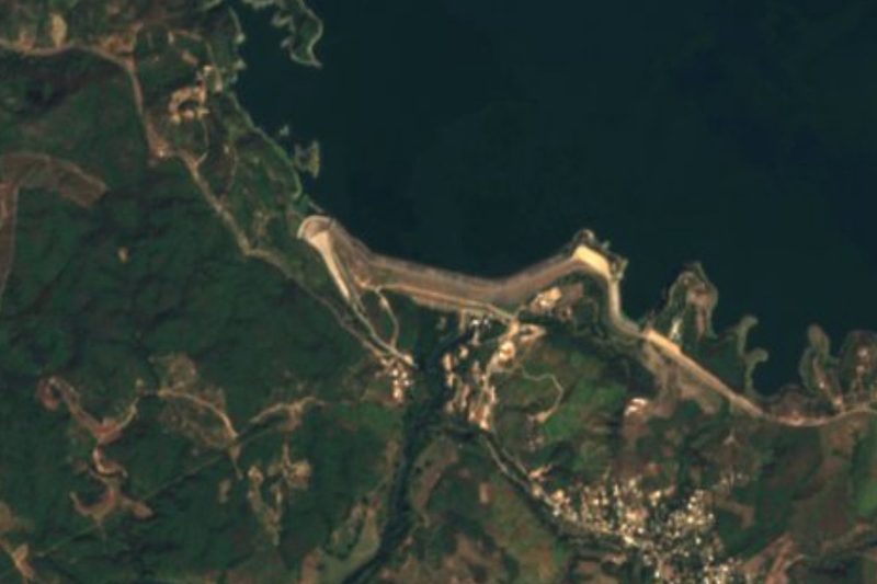
A dam on the Humaya was planned soon after the Revolution, with surveys in 1929 and 1930, but construction only began in 1957 under engineer Carlos Carvajal Zarazúa. President Adolfo López Mateos opened it as the Humaya dam; the state governor, Leopoldo Sánchez Celis, later announced that local farmers had chosen to name it after the president. The rockfill embankment stands 106.5 m high and 750 m long, while the spillway sits about 8 km away at a saddle called La Chutama. A 90-megawatt power plant came online in 1976.
Bass anglers know it as Lake Mateos. From the late 1980s into the early 1990s it ranked among Mexico's top largemouth lakes, then in 1994 most of its water was drawn down for agriculture and the fishery collapsed. It recovered enough for a US fishing outfitter to open a lodge on the Humaya River, about 45 minutes by road from Culiacán's airport. The lake is ringed by rock walls around 20 m high and the water is very clear. Tilapia and catfish are caught too, and the brush around it holds deer, wild turkey, dove and quail, which draws hunters.
Check the level before going: in early April 2026 the reservoir was at 12.7 percent of capacity, one of its lowest readings of the farming cycle.
How to get to Presa Humaya
Drive from Culiacán: 1 h 10 min, 46 km
The dam is at El Varejonal, about 32 km north of Culiacán; a fishing lodge puts the drive at roughly 45 minutes from Culiacán's airport. There are no tourist buses, so go by car or with a fishing lodge's transfer. The nearest Pueblo Mágico is Mocorito, about 69 km away in a straight line; by road, return to Culiacán and follow Highway 15 north to Caitime, shortly before Guamúchil.
Directions to Presa Humaya on Google Maps
Distances are in a straight line; the road is usually longer.
Links open a partner site. We may earn a commission if you book, at no cost to you.
From the nearest cities to Presa Humaya
- Culiacán · 46 km by road, 1 h 10 min
- Guamúchil · 102 km by road, 1 h 55 min
- Guasave · 153 km by road, 2 h 30 min
Drive times by road from OpenStreetMap, without traffic or stops. Times marked ~ are estimated from the straight-line distance.
Visiting Presa Humaya: what to see and do
The 106.5 m embankment across the Humaya River.
Largemouth bass fishing in clear water between rock walls.
Tilapia and catfish for bank fishing.
Views of the Badiraguato hills from the reservoir.
The La Chutama spillway, about 8 km from the dam wall.
Plan your trip
Places to stay in Presa Humaya
Compare hotels, posadas, and rentals in and around Presa Humaya.
Tours & activities
Day trips and guided outings from Mocorito often include Presa Humaya; with a local guide you can get there without a car.
Rental cars
Pick up a car at CUL (Culiacán): about 1 h 45 min by road to Mocorito, then 69 km more to Presa Humaya, on your own schedule.
Flights
The nearest airport with scheduled flights is Culiacán (CUL), about 1 h 45 min by road from Mocorito, the base for Presa Humaya.
Travel insurance
If you plan on swimming or kayaking at Presa Humaya, check that your policy covers it: some plans leave adventure activities out.
Mobile data
Signal can drop away from Mocorito: download a map of the way to Presa Humaya before you set out, or carry an eSIM with data.
Links open a partner site. We may earn a commission if you book, at no cost to you.
When to go to Presa Humaya warm
Presa Humaya shares the climate of Mocorito, 69 km away. The best months to visit are January, February, and December.
Presa Humaya is best for swimming and time on the water in the warmest months (May, June, and July); in the rainiest ones (July, August, and September) expect storms in the afternoon.
See the month-by-month climate of Mocorito
Weather in Presa Humaya now and the next 7 days
Live forecast from Open-Meteo. Chance of rain is the day's highest.
The closest Pueblo Mágico: Mocorito

Mocorito is the Pueblo Mágico closest to Presa Humaya, with places to stay, food, and more to see.
Closest to Presa Humaya
-
Balneario de Imala · Hot springs · 32 km away
-
Paseo del Ángel · Landmark · 32 km away
-
Pericos · Town · 32 km away
-
Presa Sanalona · Lake · 40 km away
-
Navolato · Town · 49 km away
Near Presa Humaya


Drive times by road from OpenStreetMap, without traffic. Times marked ~ are estimated from the straight-line distance.
Lists with Presa Humaya
Lakes and Lagoons in Sinaloa · 5Location from OpenStreetMap. Written by Puebloteca.