

Beach Guasave, Sinaloa
Guasave's beach: 7 km of sand by the mouth of the Sinaloa River, with the La Bocanita lighthouse, big dunes and seafood palapas.
From Guasave: 1 h by car (42 km by road) How to get there ↓
Plan your visit to Las Glorias
Where to stay near Las Glorias
Compare hotels, posadas and guest houses in Las Glorias.
Tours to Las Glorias
Day trips and guided outings from Mocorito often include Las Glorias; with a local guide you can get there without a car.
How to get to Las Glorias
- From Guasave: about 1 h by road (~42 km)
- Nearest airport: Culiacán (CUL), 1 h 45 min by car to Mocorito
Links open a partner site. We may earn a commission if you book, at no cost to you.
About Las Glorias
Las Glorias is the best-known beach in Guasave municipality, about 36 to 42 km southwest of the city depending on the route, on the Gulf of California. It offers more than 7 km of soft sand beside the mouth of the Sinaloa River, once called the Petatlán. For years it was mostly a weekend spot for families from Guasave, Salvador Alvarado, Angostura and Sinaloa de Leyva, but it now draws more and more visitors from other states and abroad. Locals credit it as the birthplace of chicharrón de pescado, crisp fried fish bites.
At the far end is La Bocanita, a small beach where the river feeds Macapule bay, with a lighthouse at the tip of a stone jetty built to keep the channel open. From the jetty you can watch the fishing boats come and go and the sun set over the water. Behind it rise the Copas de las Dunas, tall sand dunes used for camping, dirt-bike rides and sand play, with a view of Isla Macapule, a barrier island about 22 km long. To the east the El Chihuil estuary runs parallel to the Bellavista dunes, and the river mouth spreads into a mangrove-lined wetland with herons, gulls, frigatebirds and cormorants. Local fishermen take visitors by boat through the estuary channels. Nearby Isla de Pájaros is a nesting ground for seabirds and shorebirds.
Seafood places, restaurants, palm shelters and beach umbrellas line the sand, along with the long-running Hotel El Moro and a growing number of holiday rentals; Wikivoyage also lists the Hotel Playa Las Glorias and a few simple guesthouses. Take care in the water: local press calls it a dangerous beach, with frequent accidents caused by currents. It fills up at Easter, when the city's traffic department opens an alternate route from La Ensenadita toward the Guasave road to ease the jams.
How to get to Las Glorias
Drive from Guasave: 1 h, 42 km
From Los Mochis, drive Highway 15 south to Guasave (about 60 km), then take Bulevar Comisión del Río Fuerte south; at the colonia Magisterial it becomes the paved road to Las Glorias, about 42 km more, roughly an hour and a half in all. To skip downtown Guasave, go via Gabriel Leyva Solano (Calle Leandro Valle, then Calle 300) or via El Burrión (Calle Jaime Armenta to Palos Verdes). The nearest Pueblo Mágico is Mocorito, about 63 km in a straight line, by way of Guamúchil.
Directions to Las Glorias on Google Maps
Distances are in a straight line; the road is usually longer.
Links open a partner site. We may earn a commission if you book, at no cost to you.
From the nearest cities to Las Glorias
- Guasave · 42 km by road, 1 h
- Guamúchil · 75 km by road, 1 h 25 min
- Los Mochis · 103 km by road, 1 h 45 min
Drive times by road from OpenStreetMap, without traffic or stops. Times marked ~ are estimated from the straight-line distance.
Before you go to Las Glorias: hours, prices and tips
- Rules
- Strong currents and frequent accidents: swim with caution. Luz Noticias · checked Oct 2026
Hours and prices change, especially around holidays. Each fact links to where we checked it.
Visiting Las Glorias: what to see and do
The La Bocanita lighthouse at the end of the jetty.
The Copas de las Dunas, looking out to Isla Macapule.
A boat trip through the estuary with local fishermen.
Birds of the Sinaloa River mouth wetland.
Chicharrón de pescado at the beach restaurants.
Sunset from the jetty.
Plan your trip
Places to stay in Las Glorias
Compare hotels, posadas, and rentals in and around Las Glorias.
Tours & activities
Day trips and guided outings from Mocorito often include Las Glorias; with a local guide you can get there without a car.
Rental cars
Pick up a car at CUL (Culiacán): about 1 h 45 min by road to Mocorito, then 63 km more to Las Glorias, on your own schedule.
Flights
The nearest airport with scheduled flights is Culiacán (CUL), about 1 h 45 min by road from Mocorito, the base for Las Glorias.
Travel insurance
If you plan on swimming or surfing at Las Glorias, check that your policy covers it: some plans leave adventure activities out.
Mobile data
Signal can drop away from Mocorito: download a map of the way to Las Glorias before you set out, or carry an eSIM with data.
Links open a partner site. We may earn a commission if you book, at no cost to you.
When to go to Las Glorias warm
Las Glorias shares the climate of Mocorito, 63 km away. The best months to visit are January, February, and December.
Las Glorias is best for swimming and time on the water in the warmest months (May, June, and July); in the rainiest ones (July, August, and September) expect storms in the afternoon.
See the month-by-month climate of Mocorito
Weather in Las Glorias now and the next 7 days
Live forecast from Open-Meteo. Chance of rain is the day's highest.
The closest Pueblo Mágico: Mocorito

Mocorito is the Pueblo Mágico closest to Las Glorias, with places to stay, food, and more to see.
Closest to Las Glorias
-
Guasave · City · 32 km away

Near Las Glorias


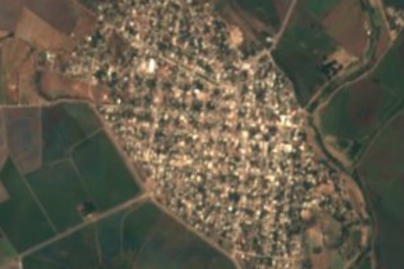
Drive times by road from OpenStreetMap, without traffic. Times marked ~ are estimated from the straight-line distance.
Lists with Las Glorias
Beaches in Sinaloa · 9Location from OpenStreetMap. Written by Puebloteca.