Town El Fuerte, Sinaloa Municipality of El Fuerte Northern Sinaloa
A Yoreme (Mayo) town in El Fuerte with the remains of a 1614 Jesuit mission and one of northern Sinaloa's busiest ceremonial centers.
From Los Mochis: 20 min by car (19 km by road) How to get there ↓
Near here
See everything nearby ↓


Plan your visit to Mochicahui
Where to stay near Mochicahui
Compare hotels, posadas and guest houses in Mochicahui.
Tours to Mochicahui
Day trips around El Fuerte sometimes stop in Mochicahui; a tour is the easy way to see it without a car.
How to get to Mochicahui
- From Los Mochis: about 20 min by road (~19 km)
- Nearest airport: Los Mochis (LMM), 1 h 37 min by car to El Fuerte
Links open a partner site. We may earn a commission if you book, at no cost to you.
About Mochicahui
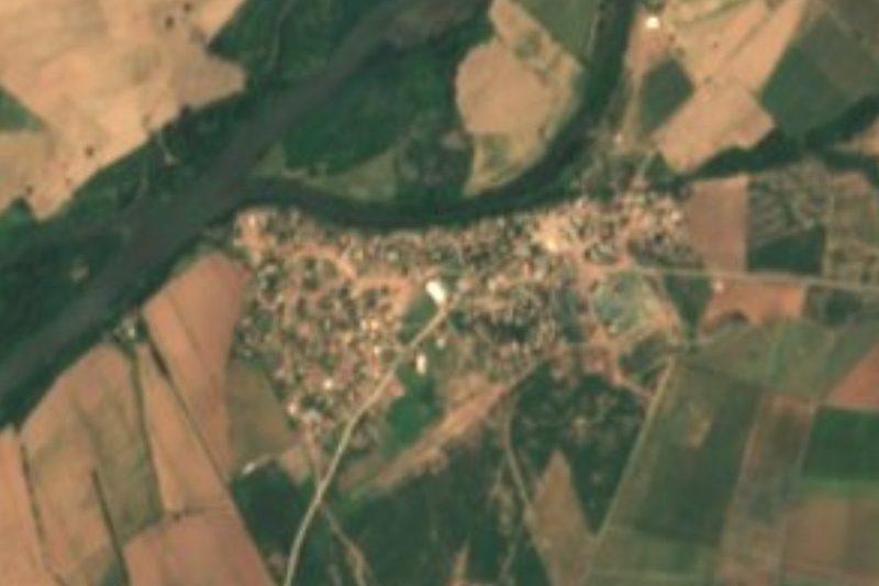
Mochicahui is a district seat in the southwest corner of El Fuerte municipality, next to the village of Constancia on the road between Los Mochis and El Fuerte. It has 6,055 residents (2020 census) and a very hot, dry climate, averaging 23.7 °C with barely 277 mm of rain a year. It counts as one of the most traditional Indigenous towns of northern Sinaloa, and local press credits the Jesuit Andrés Pérez de Ribas with founding it in 1605.
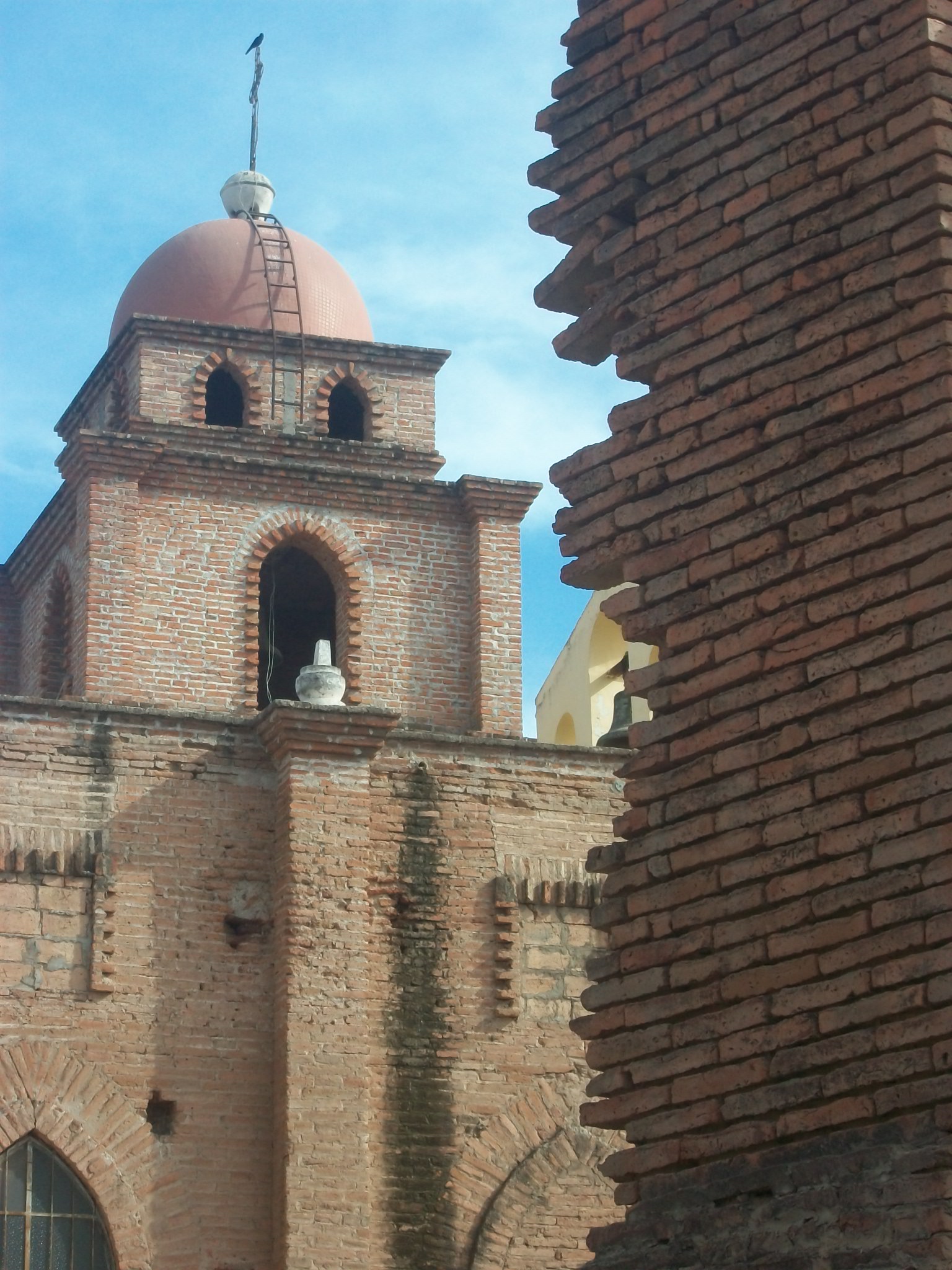
Mexico's tourism ministry describes it as a colonial town of pre-Hispanic origin where a Jesuit mission was established in 1614, and remains of that mission can still be seen in the center. The town keeps 18th-century carved saints in the tequitqui style, the work of Indigenous colonial sculptors, and it is best known for its festivals: its ceremonial center is among the largest and most active in northern Sinaloa. It is one of seven Mayo ceremonial centers around El Fuerte, along with Tehueco, Teputcahui, Jahuara, Capomos, Sivirijoa and Charay, where the Yoreme practice their own Catholicism under their own traditional authorities.
The ceremonial temple of San Jerónimo de Mochicahui serves 19 Indigenous communities and has hosted rituals for more than 60 years: the saints are honored with incense smoke, music and pascola, deer and matachín dances, under a Council of Elders that ranks above the traditional governor. Its roof was collapsing, so between November 2018 and April 2019 the old building was taken down and a new one raised on a 360-square-meter site, with a bell tower, kitchen and restrooms and a perimeter wall finished in stone and wood. During Holy Week thousands of visitors come to the region's Yoreme-Mayo ceremonial centers. These are community rites, so come respectfully and ask before taking photos.
El Fuerte's government has been seeking Pueblo Señorial status for Mochicahui on the strength of its colonial buildings, and met tourism students from the Universidad Autónoma Indígena de México about the bid. The Pueblo Mágico of El Fuerte lies further northeast along the same highway.
How to get to Mochicahui
Drive from Los Mochis: 20 min, 19 km
Mochicahui is on the Los Mochis–El Fuerte highway, northeast of Los Mochis, about 25 km by road (roughly 25 to 30 minutes); in 2026 parts of the highway were potholed and under repair, so drive with care. Azules del Noroeste and ANS run buses from their Los Mochis terminals toward El Fuerte and towns along the way. The same highway continues to El Fuerte, the nearest Pueblo Mágico, 85 km from Los Mochis in all.
Directions to Mochicahui on Google Maps
Distances are in a straight line; the road is usually longer.
Links open a partner site. We may earn a commission if you book, at no cost to you.
From the nearest cities to Mochicahui
- Los Mochis · 19 km by road, 20 min
- Guasave · 73 km by road, 1 h
- Guamúchil · 116 km by road, 1 h 35 min
Drive times by road from OpenStreetMap, without traffic or stops. Times marked ~ are estimated from the straight-line distance.
Before you go to Mochicahui: hours, prices and tips
- Best season
- During Holy Week thousands of visitors go to the Yoreme-Mayo ceremonial centers around El Fuerte. Luz Noticias · checked Oct 2026
Hours and prices change, especially around holidays. Each fact links to where we checked it.
Visiting Mochicahui: what to see and do
The remains of the 1614 Jesuit mission in the town center.
18th-century carved saints in the tequitqui style.
The San Jerónimo ceremonial temple, rebuilt in 2019.
Pascola, deer and matachín dances at saints' feasts.
The road on to the Pueblo Mágico of El Fuerte.
Plan your trip
Places to stay in Mochicahui
Compare hotels, posadas, and rentals in and around Mochicahui.
Tours & activities
Day trips around El Fuerte sometimes stop in Mochicahui; a tour is the easy way to see it without a car.
Rental cars
Pick up a car at LMM (Los Mochis): about 1 h 37 min by road to El Fuerte, then 59 km more to Mochicahui, on your own schedule.
Flights
The nearest airport with scheduled flights is Los Mochis (LMM), about 1 h 37 min by road from El Fuerte, the base for Mochicahui.
Mobile data
Signal can drop away from El Fuerte: download a map of the way to Mochicahui before you set out, or carry an eSIM with data.
Links open a partner site. We may earn a commission if you book, at no cost to you.
When to go to Mochicahui warm
Mochicahui shares the climate of El Fuerte, 59 km away. The best months to visit are January, March, November, and December.
See the month-by-month climate of El Fuerte
Weather in Mochicahui now and the next 7 days
Live forecast from Open-Meteo. Chance of rain is the day's highest.
The closest Pueblo Mágico: El Fuerte

El Fuerte is the Pueblo Mágico closest to Mochicahui, with places to stay, food, and more to see.
Closest to Mochicahui
-
Ahome · Town · 25 km away
-
Topolobampo · Town · 41 km away
-
Tehueco · Town · 43 km away
-
El Maviri · Beach · 45 km away
Near Mochicahui

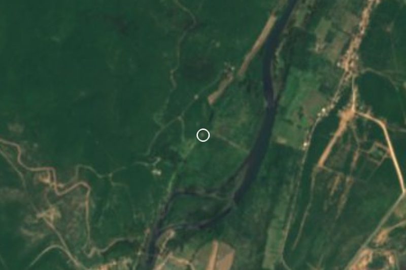


Drive times by road from OpenStreetMap, without traffic. Times marked ~ are estimated from the straight-line distance.
Location from OpenStreetMap. Written by Puebloteca.