

Beach Ahome, Sinaloa Municipality of Ahome Northern Sinaloa
The most popular beach on Topolobampo Bay, on an island reached by bridge, with grilled fish shacks and a bat cave that empties at dusk.
From Los Mochis: 35 min by car (30 km by road) How to get there ↓
Near here
See everything nearby ↓


Plan your visit to El Maviri
Where to stay near El Maviri
Compare hotels, posadas and guest houses in El Maviri.
Tours to El Maviri
Day trips and guided outings from Sinaloa often include El Maviri; with a local guide you can get there without a car.
Links open a partner site. We may earn a commission if you book, at no cost to you.
About El Maviri
El Maviri, also called Las Ánimas, is an island in Topolobampo Bay, in Ahome municipality, joined to the mainland by the Las Ánimas bridge. It is the busiest beach on the bay and open all year, with a long stretch of sand, gentle water on the bay side and sunsets popular for wedding and engagement photos. The road out is a scenic drive past desert scrub, mangroves and low hills.
Food is half the reason to come. The beach shacks cook pescado zarandeado over charcoal, either the classic version with butter and onion or newer variations, and run cold bars of ceviches and raw shellfish: shrimp, pen shell scallops, octopus, oysters, clams, crab, mangrove cockles and conch. There are coconuts, coconut horchata and beer, and norteño bands stroll the sand. Boats leave from El Maviri for trips around Ohuira and Topolobampo bays, to look for Pechocho the dolphin and to visit Isla de los Pájaros and Isla de los Patos, roosts for resident and migrating birds; people also go sport fishing, kayaking, paddleboarding, jet skiing and diving.
On a bend of the island road, a few meters from the beach entrance, is the Cueva de los Murciélagos, a closed old mine. Every day around 6 pm thousands of bats pour out in dark clouds against the evening sky; one local report estimates some five million animals of more than six species. Watch from a distance.
There are no hotels on the island, but camping is allowed with permission, and air-conditioned cabins stand near the bridge. Public restrooms are available, and tourist police and civil protection crews patrol. Drinks and food are only allowed in aluminum or plastic containers.
How to get to El Maviri
Drive from Los Mochis: 35 min, 30 km
From Los Mochis, take the road to Topolobampo; around km 20 a signed turn-off leads to El Maviri, then cross the Las Ánimas bridge onto the island. The road is paved all the way and takes 20 to 35 minutes. A passenger bus also runs from the port of Topolobampo, about 6 km away. The nearest Pueblo Mágico is El Fuerte, an hour and twenty minutes from Los Mochis on the Los Mochis–El Fuerte road.
Directions to El Maviri on Google Maps
Distances are in a straight line; the road is usually longer.
Links open a partner site. We may earn a commission if you book, at no cost to you.
From the nearest cities to El Maviri
- Los Mochis · 30 km by road, 35 min
- Guasave · 89 km by road, 1 h 20 min
- Guamúchil · 132 km by road, 1 h 55 min
Drive times by road from OpenStreetMap, without traffic or stops. Times marked ~ are estimated from the straight-line distance.
Before you go to El Maviri: hours, prices and tips
- Best time of day
- The bats leave the cave every day around 6 pm, at sunset. Luz Noticias · checked Oct 2026
- Rules
- Food and drinks only in aluminum or plastic containers; camping needs a permit. Luz Noticias · checked Oct 2026
Hours and prices change, especially around holidays. Each fact links to where we checked it.
Visiting El Maviri: what to see and do
The bay beach, with calm water and sunsets.
Pescado zarandeado and raw-bar seafood at the beach shacks.
The bats leaving their cave at around 6 pm.
A boat to Isla de los Pájaros and Isla de los Patos.
Kayaking, paddleboarding and sport fishing.
Plan your trip
Places to stay in El Maviri
Compare hotels, posadas, and rentals in and around El Maviri.
Tours & activities
Day trips and guided outings from Sinaloa often include El Maviri; with a local guide you can get there without a car.
Travel insurance
If you plan on swimming or surfing at El Maviri, check that your policy covers it: some plans leave adventure activities out.
Mobile data
Signal can drop away from Sinaloa: download a map of the way to El Maviri before you set out, or carry an eSIM with data.
Links open a partner site. We may earn a commission if you book, at no cost to you.
Closest to El Maviri
-
Topolobampo · Town · 7 km away
-
Ahome · Town · 39 km away
-
Mochicahui · Town · 45 km away
Near El Maviri

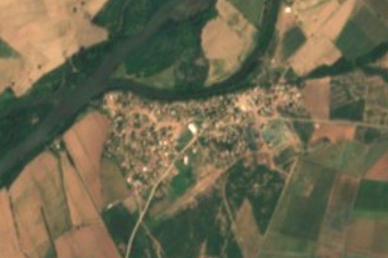


Drive times by road from OpenStreetMap, without traffic. Times marked ~ are estimated from the straight-line distance.
Lists with El Maviri
Beaches in Sinaloa · 9Location from OpenStreetMap. Written by Puebloteca.