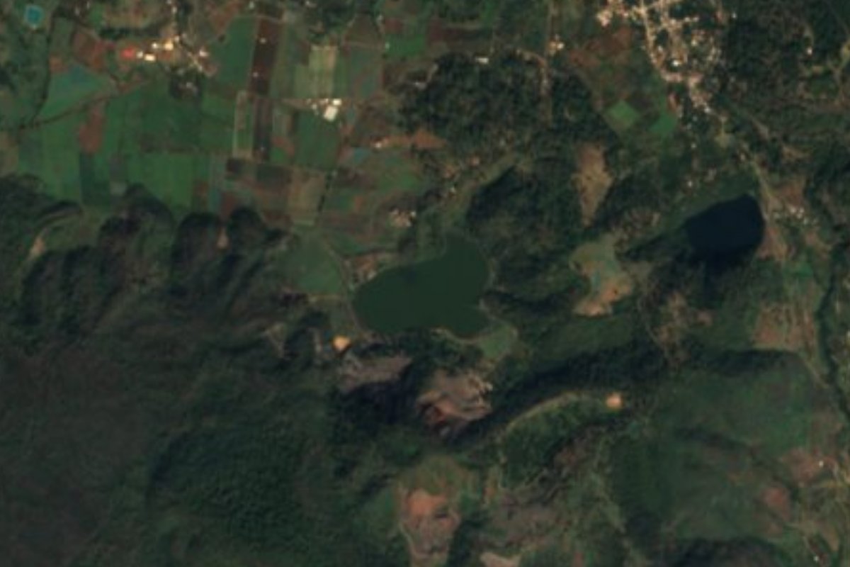
Lake Tacámbaro, Michoacán Municipality of Tacámbaro
A larger lake on the edge of town, used for fishing and visited by migratory birds in winter.
From Pátzcuaro: 1 h by car (57 km by road) How to get there ↓
Near here
See everything nearby ↓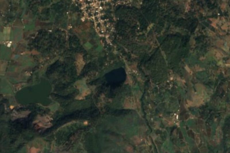


Plan your visit to Laguna La Magdalena
Where to stay near Laguna La Magdalena
Tacámbaro, 3 km away, is the closest town with places to stay.
Compare hotels, posadas and guest houses in Laguna La Magdalena.
Tours to Laguna La Magdalena
Day trips and guided outings from Tacámbaro often include Laguna La Magdalena; with a local guide you can get there without a car.
 Tours from Morelia
Morelia City Tour
★ 4.9 (115) · From US$33
How to get to Laguna La Magdalena
- From Pátzcuaro: about 1 h by road (~57 km)
- 3 km southwest of Tacámbaro
- Nearest airport: Uruapan (UPN), 1 h 29 min by car to Tacámbaro
Links open a partner site. We may earn a commission if you book, at no cost to you.
Tours from Morelia, near Laguna La Magdalena


Tours, prices and ratings from Viator, checked weekly. We may earn a commission if you book.
About Laguna La Magdalena
Laguna La Magdalena, often simply called La Laguna, is a lake a few kilometers south of Tacámbaro, next to the small settlement of the same name, and it is the bigger, more open sibling of the round crater lake of La Alberca nearby. Its water takes on deep blue tones on clear days, and it is ringed by fields and forest on the slopes that fall away from Tacámbaro toward Tierra Caliente.
Local families come here to fish and to spend an afternoon by the water, and in winter migratory birds stop on the lake, which makes it a good place for birdwatching with binoculars. There is little in the way of formal infrastructure, so it feels more like a country lake than a park.
Tacámbaro's mild climate, warm days and cool nights, makes this a pleasant outing at almost any time of year. It pairs well with La Alberca and the Cerro Hueco park, all within a short drive of each other, for a half day of nature around the town.
How to get to Laguna La Magdalena
Drive from Pátzcuaro: 1 h, 57 km
The lake sits next to the hamlet of La Magdalena, about 4 km south of central Tacámbaro on a paved road, roughly 7 minutes by car or taxi; ask in the village for the way down to the shore. Tacámbaro itself is reached from Pátzcuaro on Highway 120 and then Highway 41, about 54 km (roughly 50 minutes), or from Morelia on Highway 14 and state roads through Tiripetío, about 86 km (roughly 1 h 30 min). By bus, Autovías La Línea links Tacámbaro with Pátzcuaro, which has frequent buses to Morelia. Bring water and snacks, as there are few services at the lake.
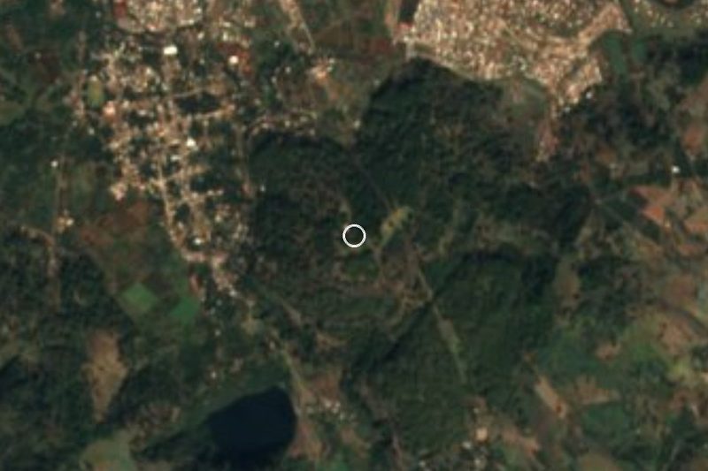
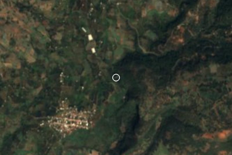
3 km southwest of Tacámbaro
Directions from Tacámbaro on Google Maps
Distances are in a straight line; the road is usually longer.
Links open a partner site. We may earn a commission if you book, at no cost to you.
From the nearest cities to Laguna La Magdalena
- Pátzcuaro · 57 km by road, 1 h
- Morelia · 88 km by road, 1 h 35 min
- Uruapan · 108 km by road, 1 h 35 min
Drive times by road from OpenStreetMap, without traffic or stops. Times marked ~ are estimated from the straight-line distance.
Visiting Laguna La Magdalena: what to see and do
Watch for migratory birds on the lake in winter.
Try fishing from the shore, as local families do.
Walk along the shore and enjoy the blue water on a clear day.
Combine it with La Alberca and Cerro Hueco in a half-day loop.
Plan your trip
Places to stay in Laguna La Magdalena
Compare hotels, posadas, and rentals in and around Laguna La Magdalena.
Tours & activities
Day trips and guided outings from Tacámbaro often include Laguna La Magdalena; with a local guide you can get there without a car.
Rental cars
Pick up a car at UPN (Uruapan): about 1 h 29 min by road to Tacámbaro, then 3 km more to Laguna La Magdalena, on your own schedule.
Flights
The nearest airport with scheduled flights is Uruapan (UPN), about 1 h 29 min by road from Tacámbaro, the base for Laguna La Magdalena.
Travel insurance
If you plan on swimming or kayaking at Laguna La Magdalena, check that your policy covers it: some plans leave adventure activities out.
Mobile data
Signal can drop away from Tacámbaro: download a map of the way to Laguna La Magdalena before you set out, or carry an eSIM with data.
Links open a partner site. We may earn a commission if you book, at no cost to you.
When to go to Laguna La Magdalena mild
Laguna La Magdalena shares the climate of Tacámbaro, 3 km away. The best months to visit are January, March, April, and December.
Laguna La Magdalena is best for swimming and time on the water in the warmest months (March, April, and May); in the rainiest ones (July, August, and September) expect storms in the afternoon.
See the month-by-month climate of Tacámbaro
Weather in Laguna La Magdalena now and the next 7 days
Live forecast from Open-Meteo. Chance of rain is the day's highest.
Make Tacámbaro your base

Laguna La Magdalena is an easy trip from Tacámbaro, a Pueblo Mágico with places to stay, food, and more to see.
Also close to
- Santa Clara del Cobre · Michoacán · 28 km away
- Pátzcuaro · Michoacán · 37 km away
- Tzintzuntzan · Michoacán · 48 km away
- Paracho · Michoacán · 78 km away
Closest to Laguna La Magdalena
-
La Alberca de Tacámbaro · Lake · 1 km away
-
Parque Ecológico Cerro Hueco · Nature reserve · 2 km away
-
Cascada de Santa Rosa · Waterfall · 5 km away
-
Puruarán · Town · 14 km away
-
Ario de Rosales · Town · 25 km away · Near Santa Clara del Cobre
-
Opopeo · Town · 27 km away · Near Santa Clara del Cobre
-
Cuanajo · Town · 31 km away · Near Pátzcuaro
-
Tupátaro · Landmark · 33 km away · Near Pátzcuaro


Near Laguna La Magdalena
-
Isla de Janitzio · Town · Michoacán
1 h 30 min: drive to Muelle General, Pátzcuaro, then 25 min by boat


Drive times by road from OpenStreetMap, without traffic. Times marked ~ are estimated from the straight-line distance.
Lists with Laguna La Magdalena
Lakes and Lagoons in Michoacán · 5 Lakes and Lagoons near Pátzcuaro · 3 Lakes and Lagoons near Tzintzuntzan · 4Something wrong or missing on this page? Suggest a fix or addition
Location from OpenStreetMap. Written by Puebloteca.