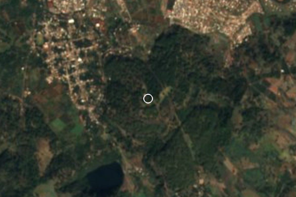
Nature reserve Tacámbaro, Michoacán Municipality of Tacámbaro
A wooded hilltop park with views over La Alberca and down to Tierra Caliente, and a spot for carnitas.
From Pátzcuaro: 55 min by car (59 km by road) How to get there ↓
Near here
See everything nearby ↓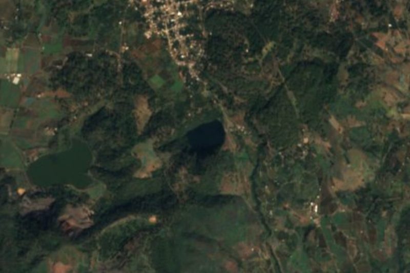


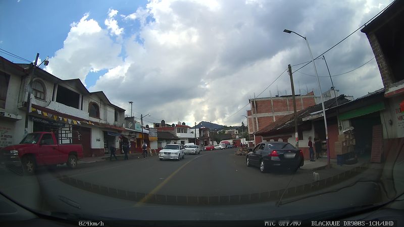
Plan your visit to Parque Ecológico Cerro Hueco
Where to stay near Parque Ecológico Cerro Hueco
Tacámbaro, 2 km away, is the closest town with places to stay.
Compare hotels, posadas and guest houses in Parque Ecológico Cerro Hueco.
Tours to Parque Ecológico Cerro Hueco
Day trips and guided outings from Tacámbaro often include Parque Ecológico Cerro Hueco; with a local guide you can get there without a car.
 Tours from Morelia
Morelia City Tour
★ 4.9 (115) · From US$33
How to get to Parque Ecológico Cerro Hueco
- From Pátzcuaro: about 55 min by road (~59 km)
- 2 km south of Tacámbaro
- Nearest airport: Uruapan (UPN), 1 h 29 min by car to Tacámbaro
Links open a partner site. We may earn a commission if you book, at no cost to you.
Tours from Morelia, near Parque Ecológico Cerro Hueco


Tours, prices and ratings from Viator, checked weekly. We may earn a commission if you book.
About Parque Ecológico Cerro Hueco
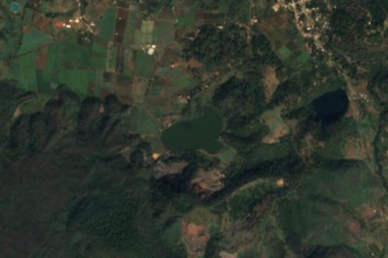
Cerro Hueco is a pine-covered hill just south of Tacámbaro, and its ecological park is where people from town go to walk, ride and breathe forest air. The park sits above La Alberca, the emerald crater lake, and from its lookouts you see both the lake below and a wide panorama down the slopes to Michoacán's hot lowlands, the Tierra Caliente.
Trails wind through the pines for hiking and mountain biking, there are horses for rides, and there is space for camping, picnics and family outings, with food stands serving regional dishes. It is a simple, local kind of park rather than an adventure center, and that is part of its charm.
Tacámbaro sits at the meeting point of temperate forest and tropical lowland, and Cerro Hueco is one of the best places to understand that: cool pine shade on the hill, and below it the warm, hazy country where sugarcane and mangoes grow.
How to get to Parque Ecológico Cerro Hueco
Drive from Pátzcuaro: 55 min, 59 km
The park covers the hill just south of Tacámbaro, about 3 km from the centre (roughly 7 minutes by car or taxi) and right by the La Alberca crater lake, so the two make one outing. Tacámbaro is about 54 km from Pátzcuaro on Highways 120 and 41 (roughly 50 minutes) and about 86 km from Morelia on Highway 14 and the state road through Tiripetío (roughly 1 h 30 min). By public transport, take an Autovías La Línea bus from Pátzcuaro to Tacámbaro, then a taxi to the park; ask there about opening times and camping permits.
2 km south of Tacámbaro
Directions from Tacámbaro on Google Maps
Distances are in a straight line; the road is usually longer.
Links open a partner site. We may earn a commission if you book, at no cost to you.
From the nearest cities to Parque Ecológico Cerro Hueco
- Pátzcuaro · 59 km by road, 55 min
- Morelia · 89 km by road, 1 h 35 min
- Uruapan · 110 km by road, 1 h 35 min
Drive times by road from OpenStreetMap, without traffic or stops. Times marked ~ are estimated from the straight-line distance.
Visiting Parque Ecológico Cerro Hueco: what to see and do
Take in the view over La Alberca crater lake and down to Tierra Caliente.
Hike or mountain-bike the pine-forest trails.
Go horseback riding or camp overnight.
Eat regional food at the park's stands.
Plan your trip
Places to stay in Parque Ecológico Cerro Hueco
Compare hotels, posadas, and rentals in and around Parque Ecológico Cerro Hueco.
Tours & activities
Day trips and guided outings from Tacámbaro often include Parque Ecológico Cerro Hueco; with a local guide you can get there without a car.
Rental cars
Pick up a car at UPN (Uruapan): about 1 h 29 min by road to Tacámbaro, then 2 km more to Parque Ecológico Cerro Hueco, on your own schedule.
Flights
The nearest airport with scheduled flights is Uruapan (UPN), about 1 h 29 min by road from Tacámbaro, the base for Parque Ecológico Cerro Hueco.
Travel insurance
If you plan on hiking at Parque Ecológico Cerro Hueco, check that your policy covers it: some plans leave adventure activities out.
Mobile data
Signal can drop away from Tacámbaro: download a map of the way to Parque Ecológico Cerro Hueco before you set out, or carry an eSIM with data.
Links open a partner site. We may earn a commission if you book, at no cost to you.
When to go to Parque Ecológico Cerro Hueco mild
Parque Ecológico Cerro Hueco shares the climate of Tacámbaro, 2 km away. The best months to visit are January, March, April, and December.
See the month-by-month climate of Tacámbaro
Weather in Parque Ecológico Cerro Hueco now and the next 7 days
Live forecast from Open-Meteo. Chance of rain is the day's highest.
Make Tacámbaro your base

Parque Ecológico Cerro Hueco is an easy trip from Tacámbaro, a Pueblo Mágico with places to stay, food, and more to see.
Also close to
- Santa Clara del Cobre · Michoacán · 28 km away
- Pátzcuaro · Michoacán · 37 km away
- Tzintzuntzan · Michoacán · 47 km away
- Paracho · Michoacán · 78 km away
Closest to Parque Ecológico Cerro Hueco
-
La Alberca de Tacámbaro · Lake · 1 km away
-
Laguna La Magdalena · Lake · 2 km away
-
Cascada de Santa Rosa · Waterfall · 3 km away
-
Puruarán · Town · 15 km away
-
Ario de Rosales · Town · 27 km away · Near Santa Clara del Cobre
-
Opopeo · Town · 27 km away · Near Santa Clara del Cobre
-
Cuanajo · Town · 30 km away · Near Pátzcuaro
-
Tupátaro · Landmark · 32 km away · Near Pátzcuaro


Near Parque Ecológico Cerro Hueco
-
Isla de Janitzio · Town · Michoacán
1 h 25 min: drive to Muelle General, Pátzcuaro, then 25 min by boat


Drive times by road from OpenStreetMap, without traffic. Times marked ~ are estimated from the straight-line distance.
Lists with Parque Ecológico Cerro Hueco
Nature Parks in Michoacán · 6 Nature Parks near Pátzcuaro · 3 Nature Parks near Morelia · 3Something wrong or missing on this page? Suggest a fix or addition
Location from OpenStreetMap. Written by Puebloteca.