

Village Sabanilla, Chiapas
Ch'ol-area seat in the warm Northern Mountains, founded in 1773, with 3,360 people and a river that floods four of its neighbourhoods.
From Cárdenas: about 2 h 15 min by road (~150 km) How to get there ↓
Near here
See everything nearby ↓


Plan your visit to Sabanilla
Where to stay near Sabanilla
Compare hotels, posadas and guest houses in Sabanilla.
Tours to Sabanilla
Day trips and guided outings from Tapijulapa often include Sabanilla; with a local guide you can get there without a car.
 Tours from San Cristóbal de las Casas
Customs of indigenous villages of Chiapas
★ 4.9 (83) · From US$71
How to get to Sabanilla
- From Cárdenas: about 2 h 15 min by road (~150 km)
- Nearest airport: Villahermosa (VSA), 1 h 26 min by car to Tapijulapa
Links open a partner site. We may earn a commission if you book, at no cost to you.
Tours from San Cristóbal de las Casas, near Sabanilla


Tours, prices and ratings from Viator, checked weekly. We may earn a commission if you book.
About Sabanilla
Sabanilla is the seat of a municipality of 29,889 people in the Northern Mountains of Chiapas, already in hot country (warm, humid, with rain nearly all year). The town had 3,360 residents in 2020, and a little over half identify as indigenous (59.55 percent); Sabanilla Ch'ol is counted as one of the variants of that language. As the story goes, around 1600 the Dominican friar Lorenzo de la Nada gathered the population here, and a drought around 1700 pushed people from Moyos, Tumbalá, Yajalón, Tila and Petalcingo to look for wetter land. The present town was founded in 1773 by about 150 people from Moyos fleeing famine; the licence for their chapel is dated 23 April 1773.\n\nThe town splits into two zones with Ch'ol names, Yok-lum, “foot of the town”, and Jo-lum, “head of the town”, and has 13 barrios; four of them (Santa Rosa, Centro, Jo-lum and Juan Esponda) sit by the river and are flood-risk areas. The Sabanilla, Nava, Agua Blanca, Jubatiún, Morelia and Mazatán rivers cross the municipality. After the seat, the biggest localities are Los Naranjos (2,830), Moyos (2,100) and El Calvario (1,821). It borders Tila, Huitiupán, Simojovel and, to the north, Tabasco.\n\nThis is not a destination with organised attractions; you come to see a warm-country Ch'ol seat, its square and its river. I found no dated fiestas or market day in reliable sources.
How to get to Sabanilla
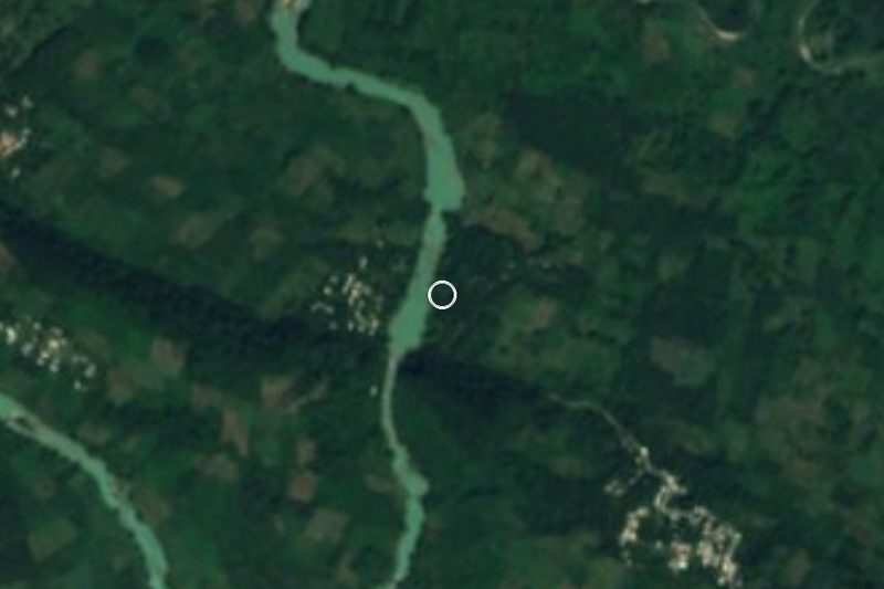
Sabanilla is in northern Chiapas, near the Tabasco border. By car it is about 44 km and roughly an hour from Yajalón; from Palenque about 135 km and around three hours; from San Cristóbal de las Casas about 137 km and around three hours. The nearest airports with flights are Palenque (PQM) or Villahermosa, in Tabasco.\n\nI found no published bus or colectivo timetables to Sabanilla, nor the name of a line or departure terminal; the exact departure has to be asked about in Yajalón or Palenque. I did not confirm a direct OCC or ADO service.\n\nI have no reliable data on road condition; ask before you set out, especially in the rainy season.
Directions to Sabanilla on Google Maps
Distances are in a straight line; the road is usually longer.
Links open a partner site. We may earn a commission if you book, at no cost to you.
From the nearest cities to Sabanilla
- Cárdenas · about 150 km by road, ~2 h 15 min
- Villahermosa · 129 km by road, 2 h 35 min
- Palenque · 135 km by road, 2 h 55 min
Drive times by road from OpenStreetMap, without traffic or stops. Times marked ~ are estimated from the straight-line distance.
Visiting Sabanilla: what to see and do
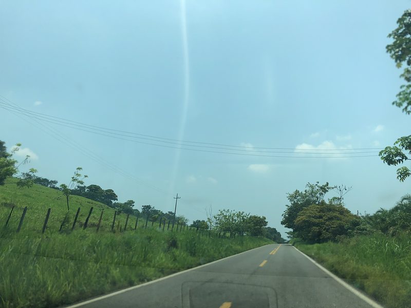
The square and streets of the seat, with its Yok-lum and Jo-lum zones.\nThe Sabanilla river, which runs through the town.\nMoyos, the locality the 1773 founders came from.\nThe warm-country landscape of the Northern Mountains.
Plan your trip
Places to stay in Sabanilla
Compare hotels, posadas, and rentals in and around Sabanilla.
Tours & activities
Day trips and guided outings from Tapijulapa often include Sabanilla; with a local guide you can get there without a car.
Rental cars
Pick up a car at VSA (Villahermosa): about 1 h 26 min by road to Tapijulapa, then 31 km more to Sabanilla, on your own schedule.
Flights
The nearest airport with scheduled flights is Villahermosa (VSA), about 1 h 26 min by road from Tapijulapa, the base for Sabanilla.
Mobile data
Signal can drop away from Tapijulapa: download a map of the way to Sabanilla before you set out, or carry an eSIM with data.
Links open a partner site. We may earn a commission if you book, at no cost to you.
When to go to Sabanilla warm
Sabanilla shares the climate of Tapijulapa, 31 km away. The best months to visit are January, February, March, and December.
See the month-by-month climate of Tapijulapa
Weather in Sabanilla now and the next 7 days
Live forecast from Open-Meteo. Chance of rain is the day's highest.
The closest Pueblo Mágico: Tapijulapa

Tapijulapa is the Pueblo Mágico closest to Sabanilla, with places to stay, food, and more to see.
Also close to
- Teapa · Tabasco · 52 km away
- San Cristóbal de Las Casas · Chiapas · 61 km away
- Palenque · Chiapas · 66 km away
- Copainalá · Chiapas · 73 km away
Closest to Sabanilla
-
Oxolotán · Town · 23 km away
-
Tumbalá · Village · 25 km away
-
Villa Luz · Nature reserve · 29 km away
-
Chalchihuitán · Village · 36 km away
-
Chenalhó · Village · 44 km away
-
Tacotalpa · Town · 45 km away
-
Agua Azul · Waterfall · 47 km away
-
Río Puyacatengo · Nature reserve · 47 km away


Near Sabanilla



Drive times by road from OpenStreetMap, without traffic. Times marked ~ are estimated from the straight-line distance.
Location from OpenStreetMap. Written by Puebloteca.